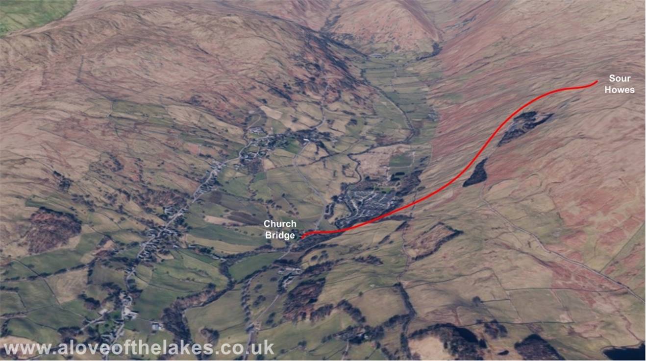
Walk : Sour Howes (1,568ft from Church Bridge Troutbeck
Date : 29th September 2014
Weather : Cloudy and warm around 19°C
Distance : 3 miles round trip
Time
Taken : 1 hour 10 mins to
summit
Which
part of Lakeland is this walk situated
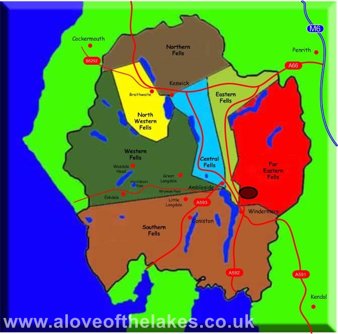
Terrain Overview
Overview
A nice gentle walk with fantastic
views along the way and on top
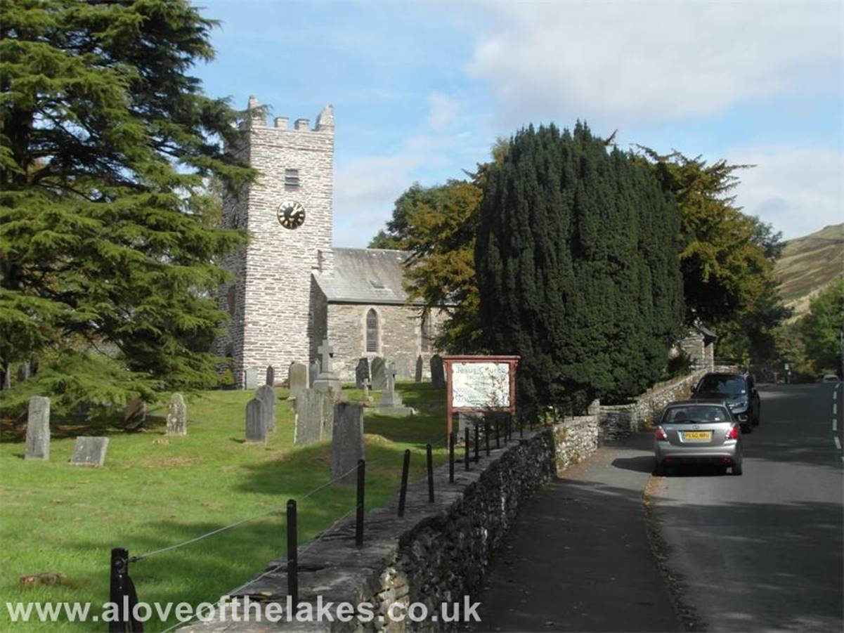
Jesus Church in Troutbeck
is situated just a few yards north of a free and suitable parking place for
about half a dozen vehicles
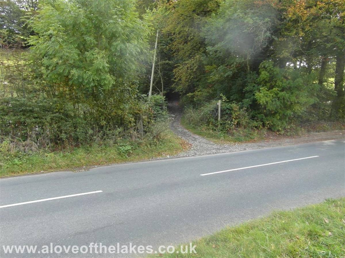
Just over the road from the bridge
is the start of the Garburn Road, an old Pack Horse
route towards Kentmere
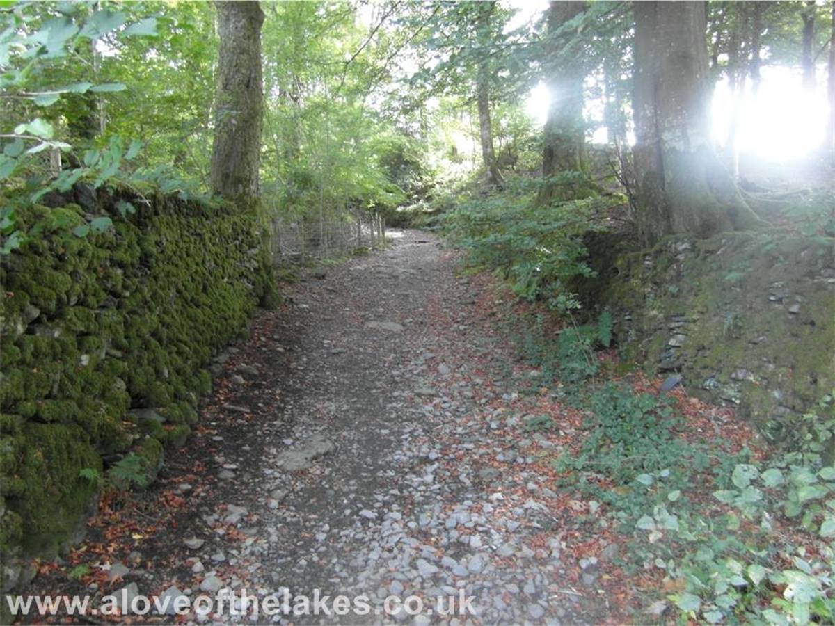
The path starts to rise gently
through the woods
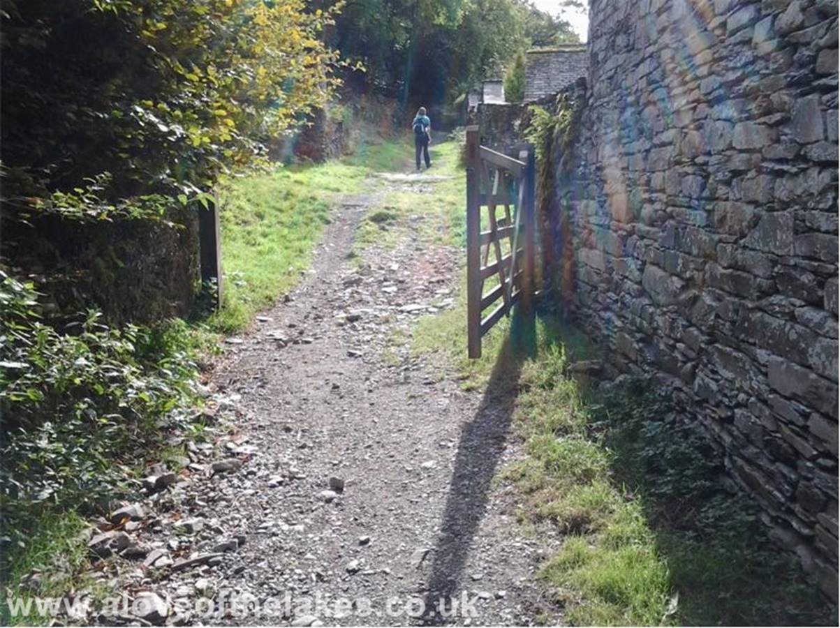
The path continues through a hand
gate and passes a farm
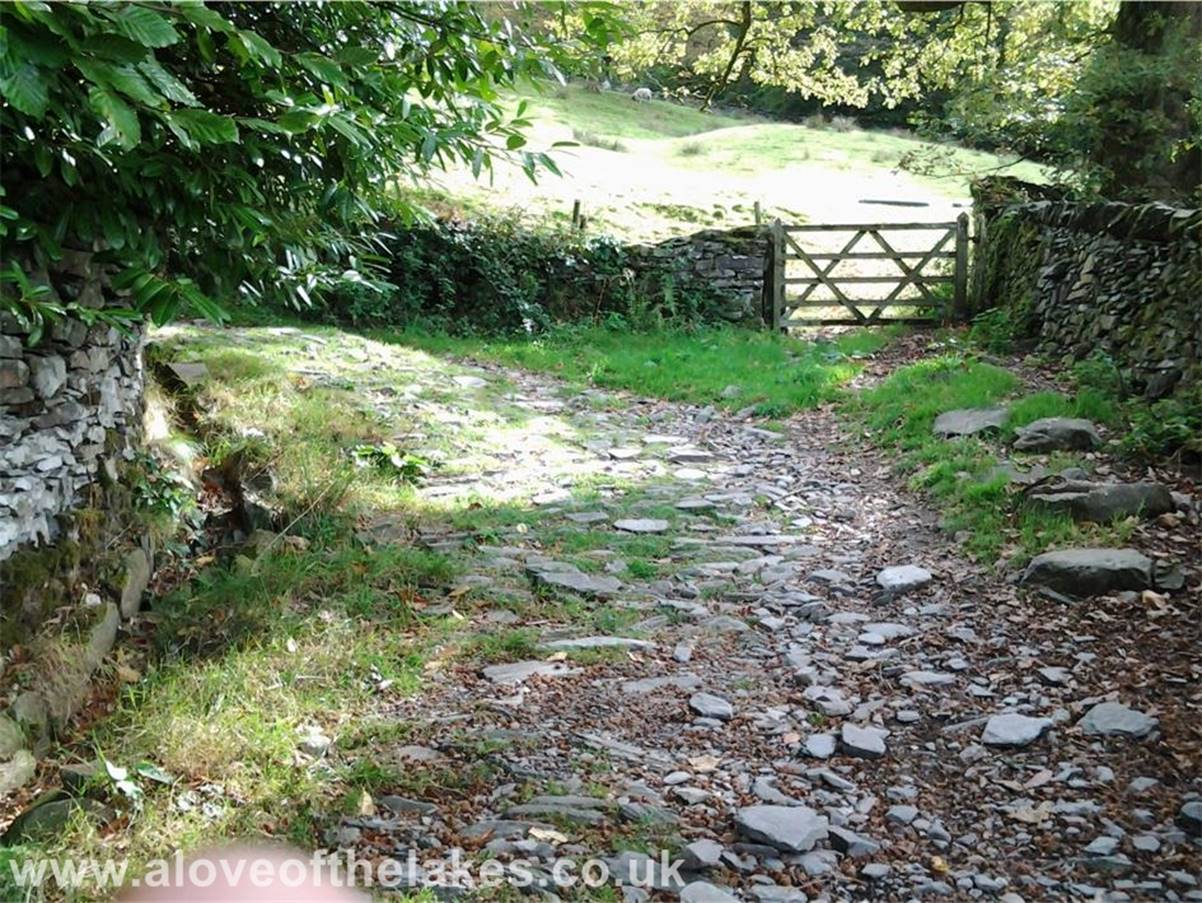
The path swings round to the left
under tree cover and from that point rarely deviates from straight, making
navigation
straight forward
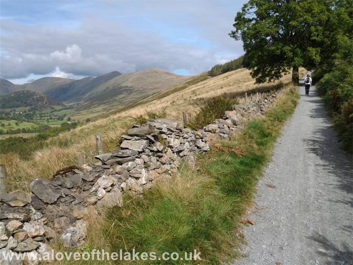
On the road proper now and the
views start to open up across the Troutbeck valley
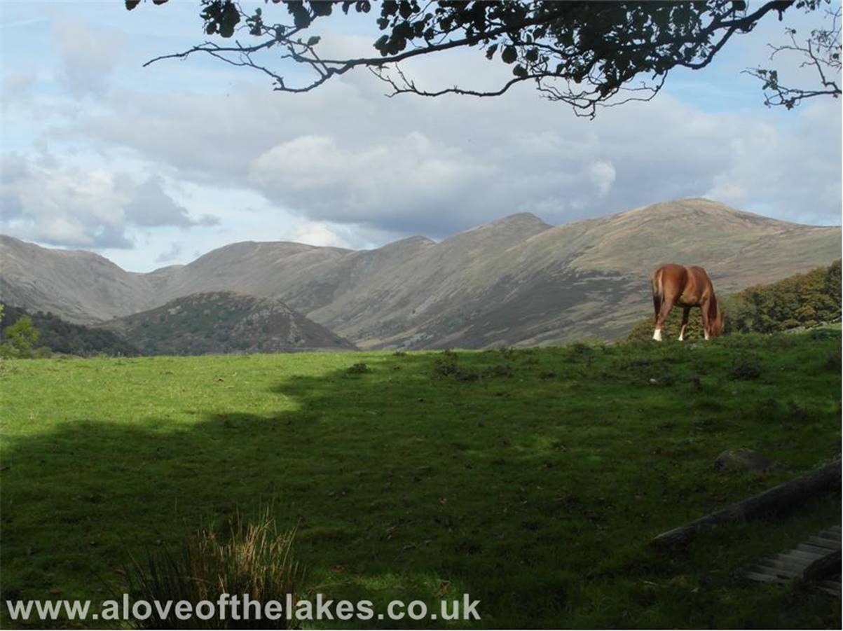
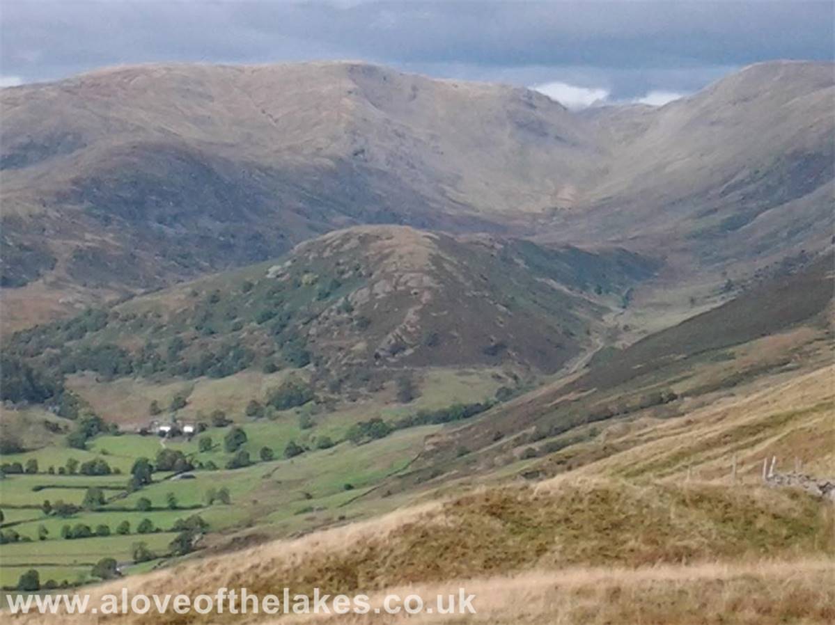
The beautiful Troutbeck
valley, to the right the Froswick / Ill Bell range to
the left Caudale Moor and the bump in the centre
on the valley floor is Troutbeck Tongue
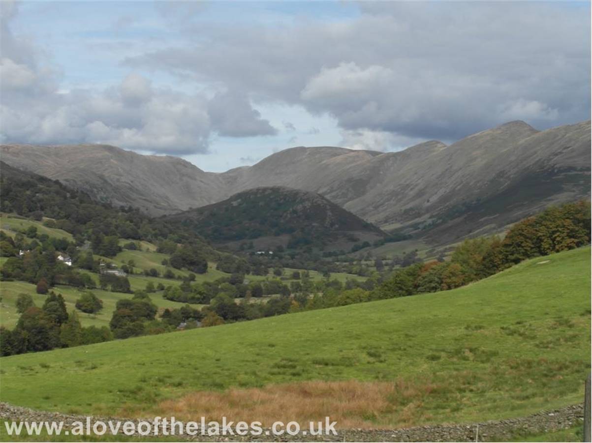
The path continues, this is good
walking
The Wansfell
/ Wansfell Pike ridge
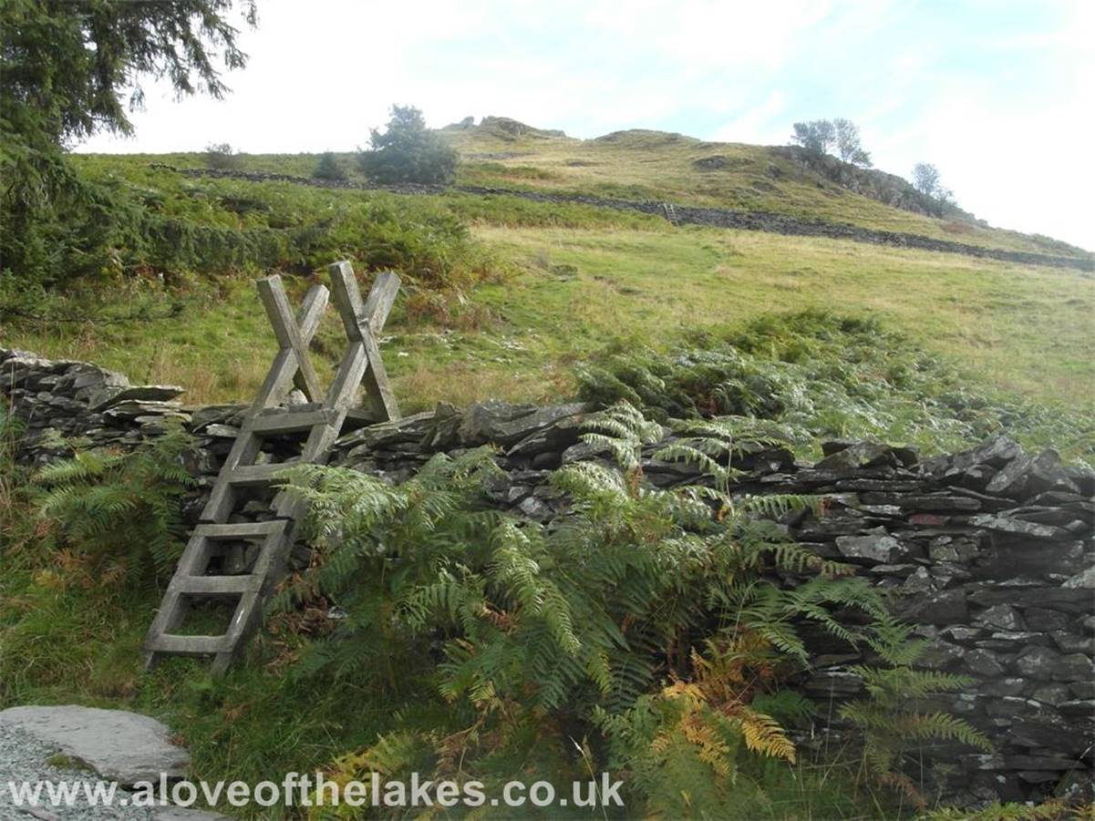
The Garburn
track is followed until you reach a series of wall stiles on your right. The
second one over the field crosses
the Dubbs
Road
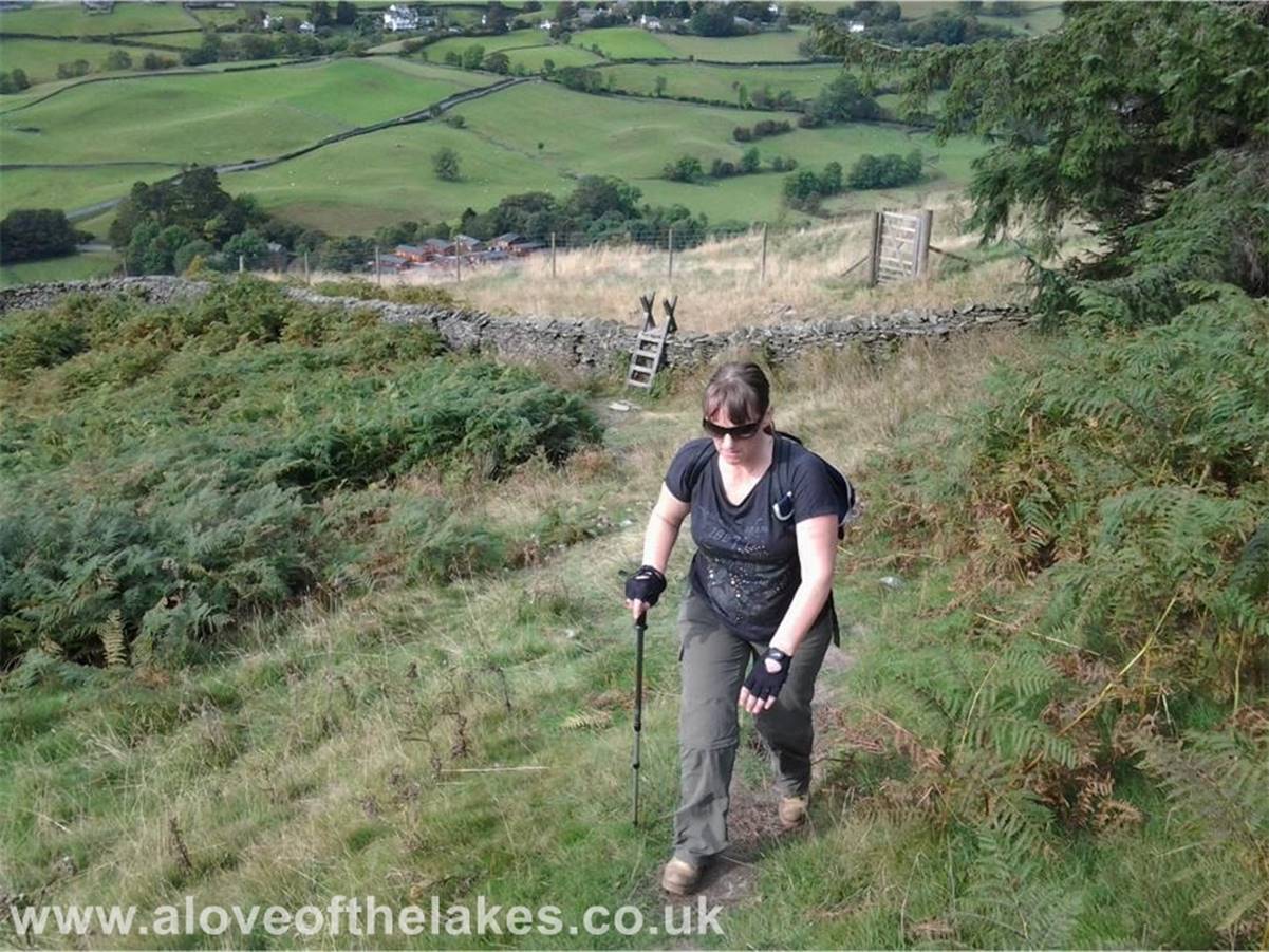
Sue presses on to the second stile
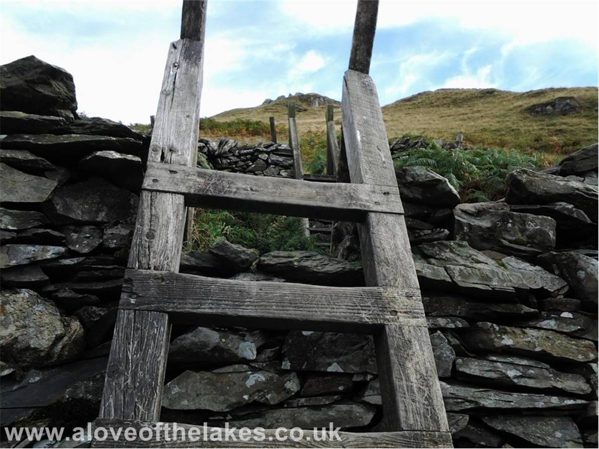
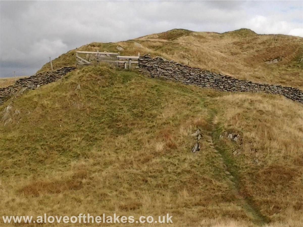
Once across the Dubbs
Road the third stile gives access to the open fell side
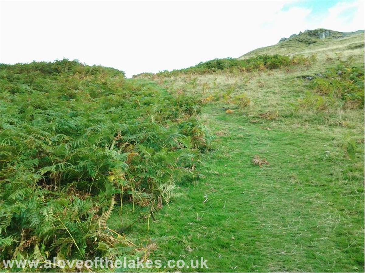
A clear grass pathway signifies the
final push to the summit
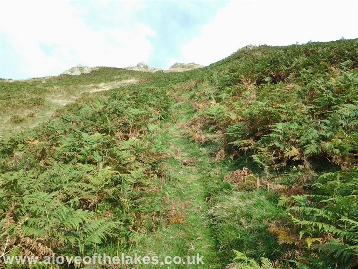
Through the bracken and aim towards
the left hand side of the rock outcrops
Looking across the Troutbeck Valley and above the Wansfell
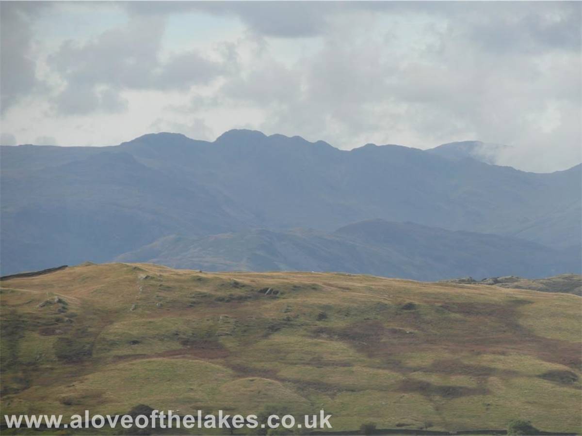
ridge line towards Crinkle Crags in the Langdale valley
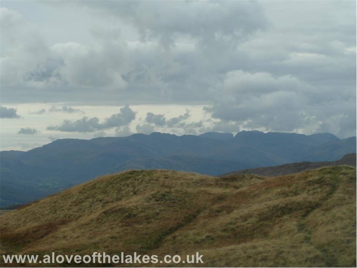
And further round to Scafell and Scafell Pike
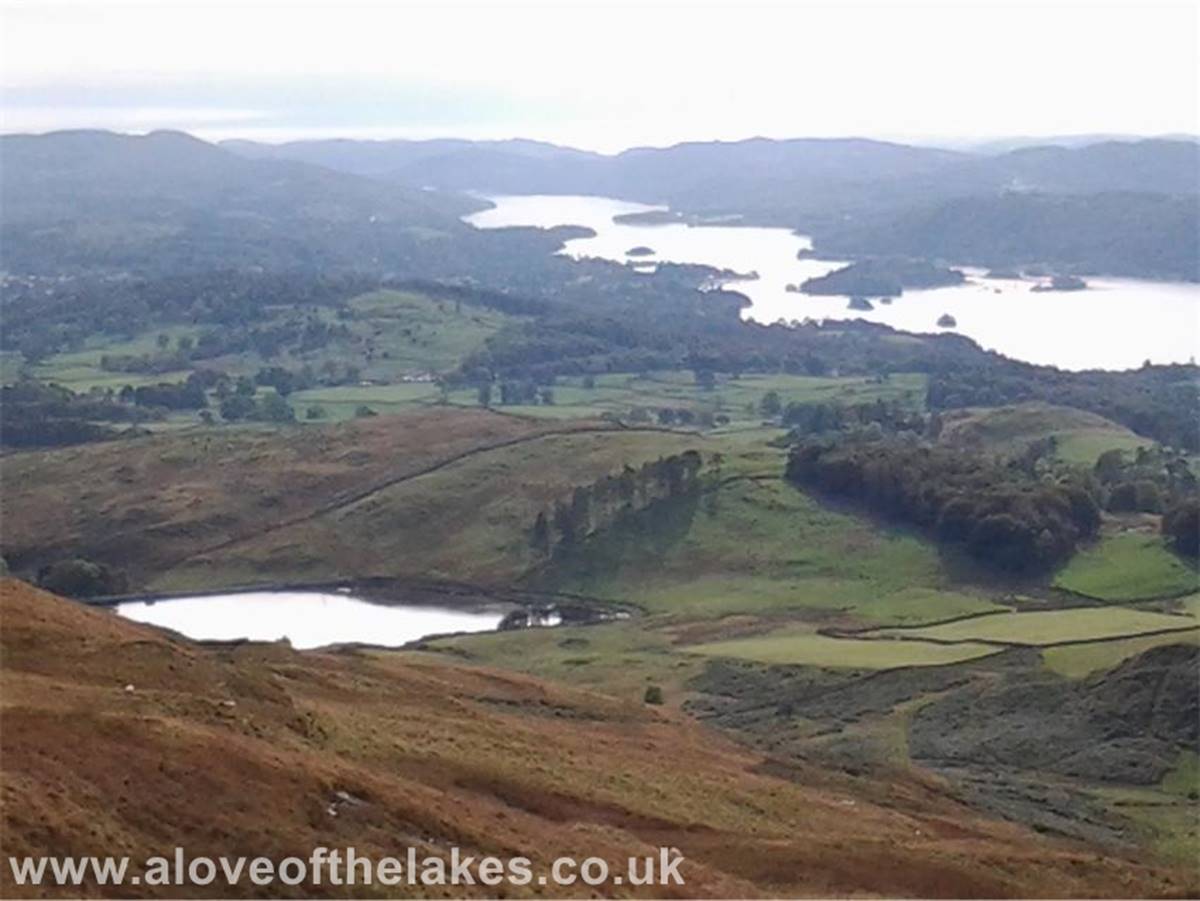
Past the crags and the path swings round towards the summit, her
looking back towards Windermere with the
Dubbs Reservoir in the foreground
Troutbeck Tongue
The stile in the wall leads on to the last part of the climb along
the summit ridge
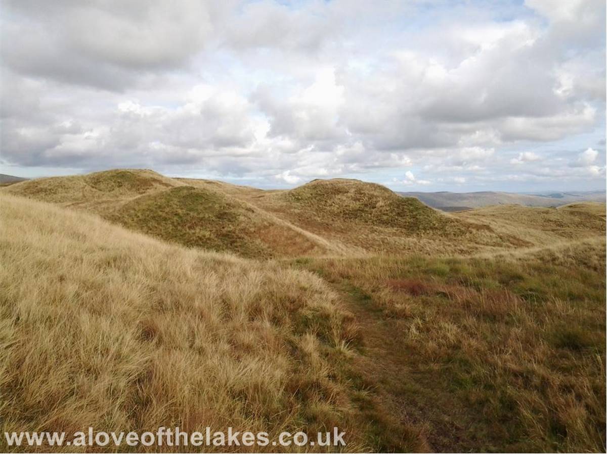
The ridge path winds its way around a number of grassy hillocks
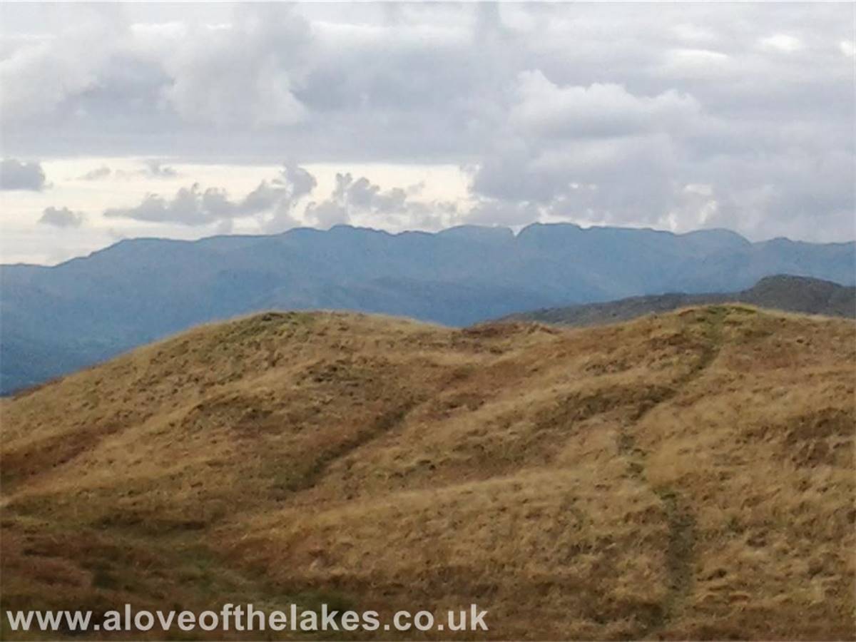
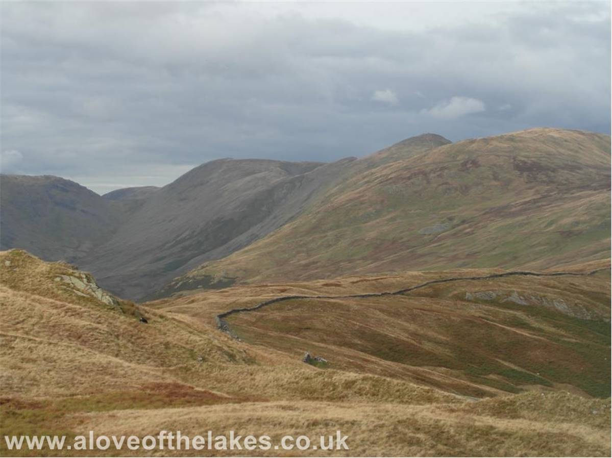
Looking over to the Scafells
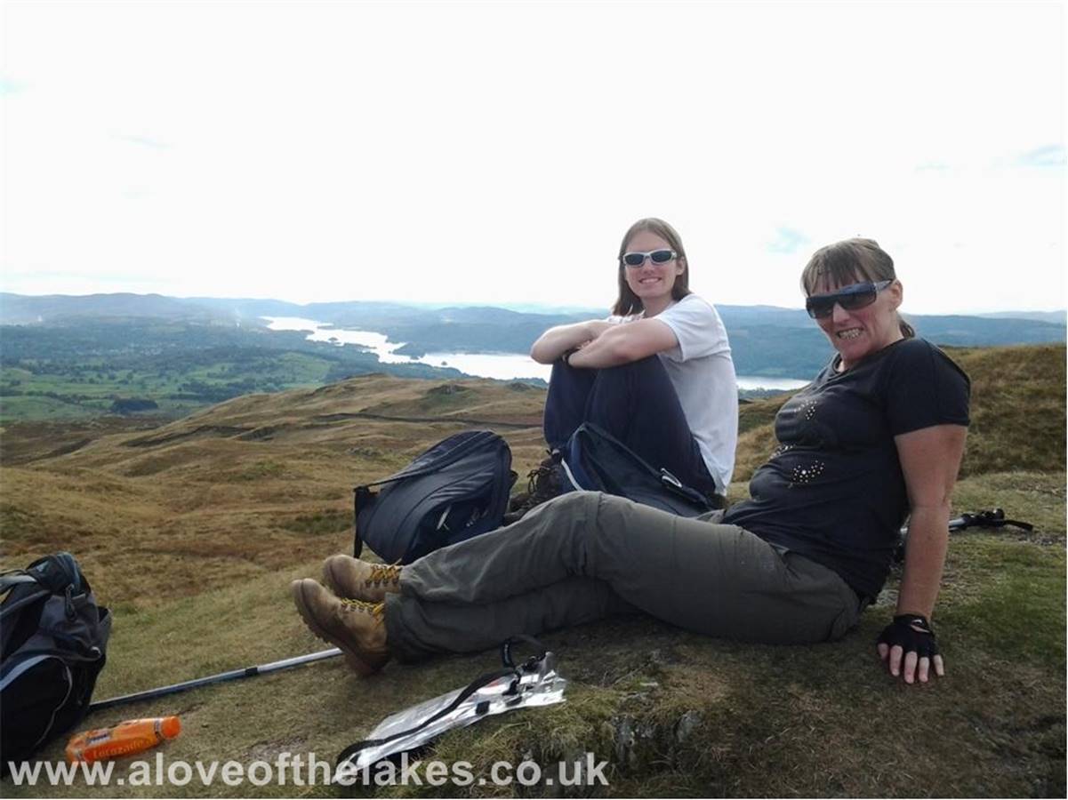
Made it !!!
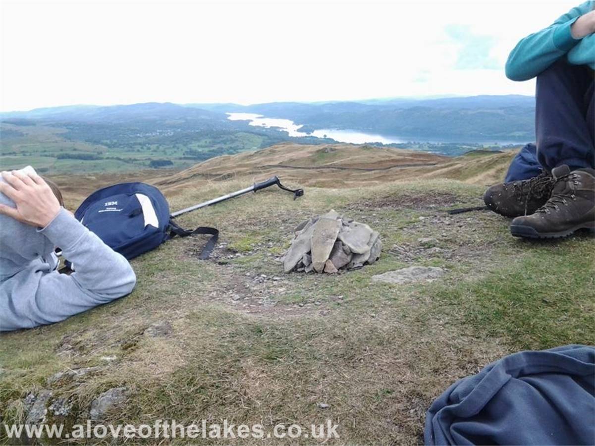
There was no cairn to speak of so we made our own
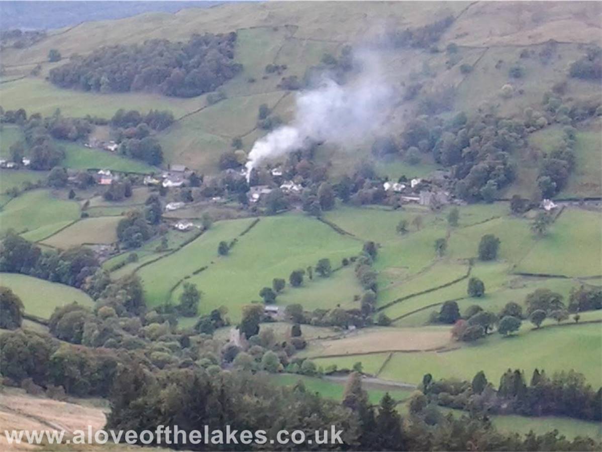
The Troutbeck valley way down below
The Ill Bell ridge line
Copyright ©
aloveofthelakes.co.uk 2010 - 2021