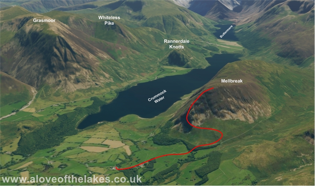
Walk : Mellbreak
(1,676 ft) from the Kirkstile Inn via the North Tower
Date : 20th May 2015
Weather : Broken cloud cover and
strong wind @ 13°C
Distance : 5 miles round trip
Time
Taken : 1 hour 50 mins to
summit
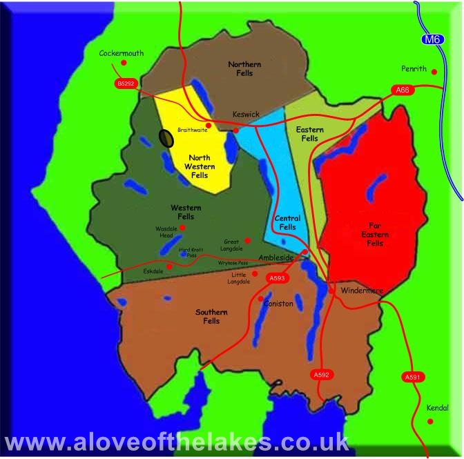
Which
part of Lakeland is this walk situated
Terrain
Overview
Overview
This route describes Wainwright’s preferred route via the North
Tower. The start of the climb is fairly steep on
loose scree and higher up there are some parts of the path are
exposed. Look out for the “Lovely peep round
the corner” from the second rock promontory
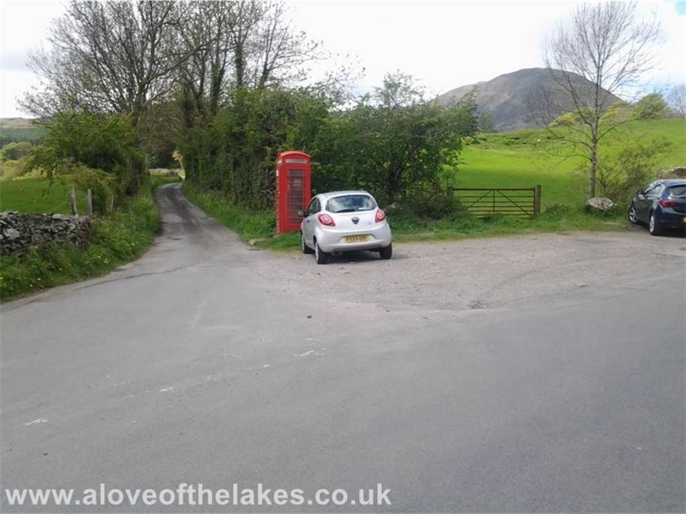
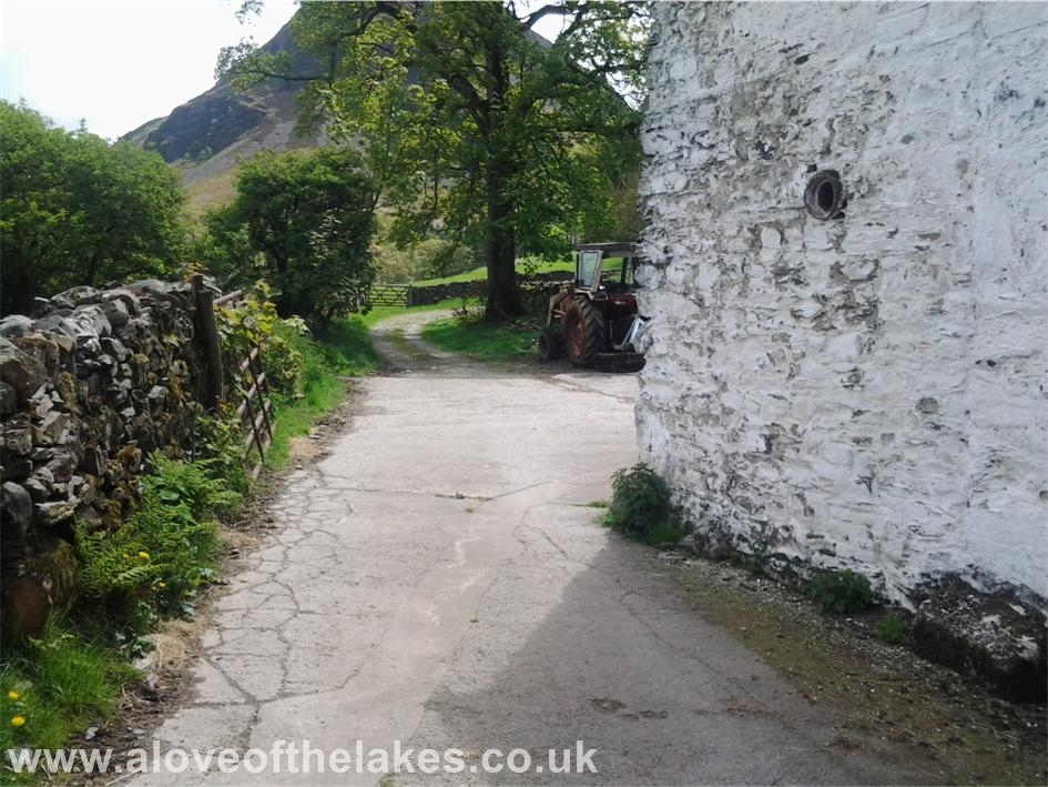
A few car park spaces at the head of the lane that leads towards
the Kirkstile Inn is the start point for this walk
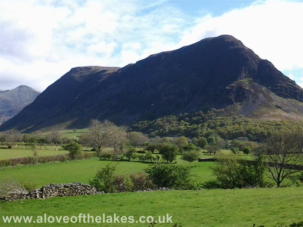
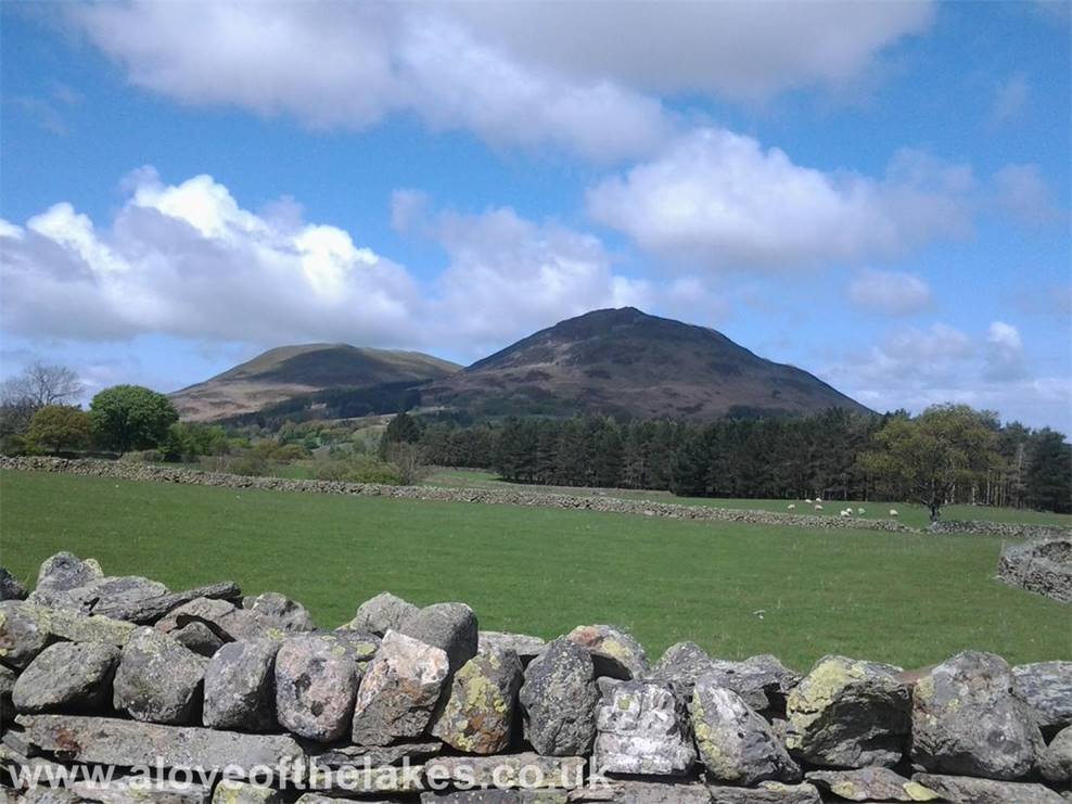
First full on view of Mellbreak
as we head on down the lane
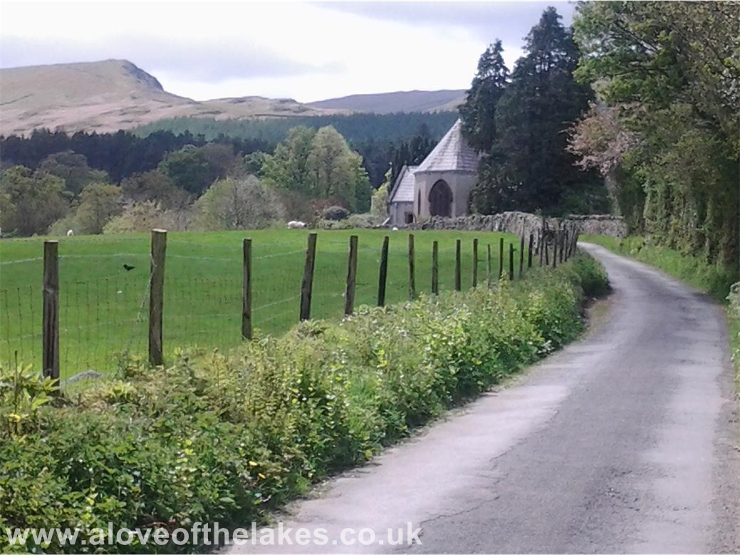
The path leads past St Bartholemews
Church
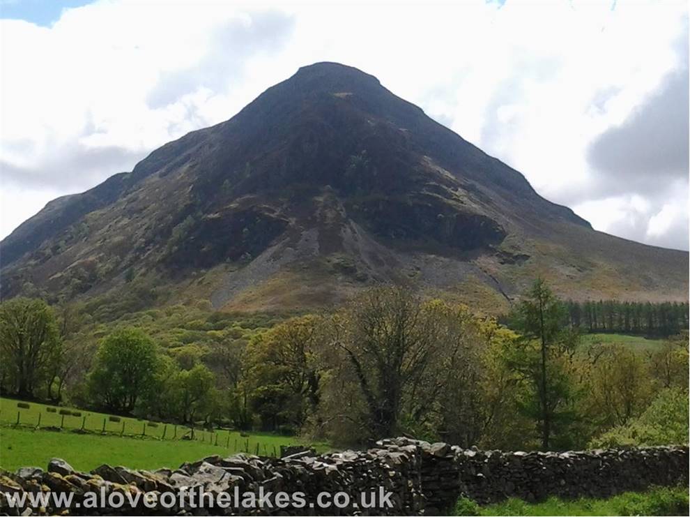
A close up view of the North tower and it
does look quite intimidating
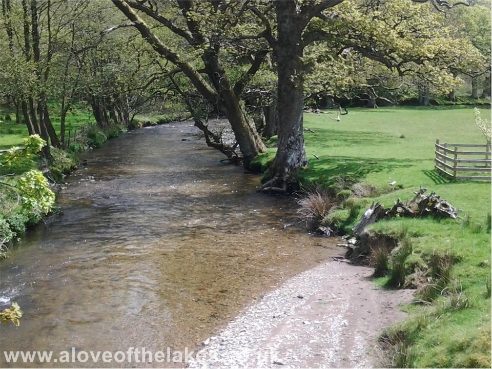
Cross Park Beck as it passes through the farm
Through the farmyard and head for the path leading towards Mosedale
Looking over to Darling Fell and Low Fell from the track
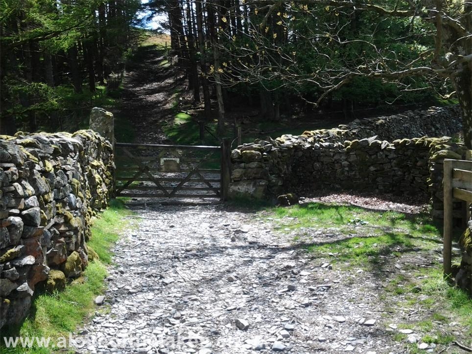
The track eventually leads up to a gate that gives access to a
firebreak in a small wooded area. Take this
to be led to the open fell side
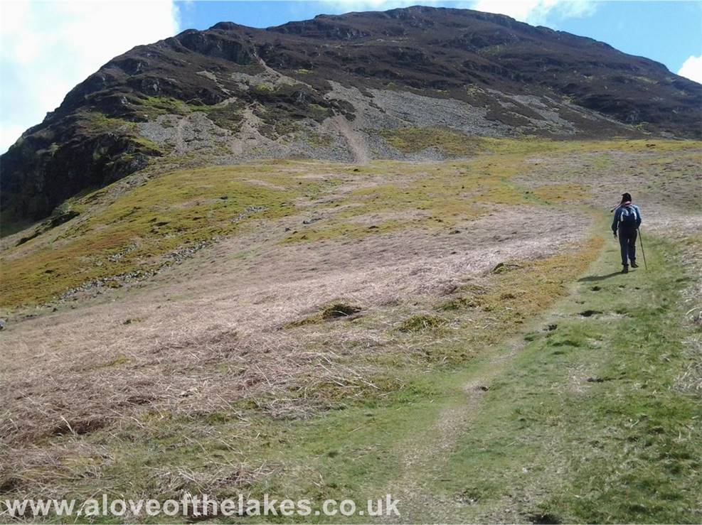
Through the wooded area and the scale of the climb now becomes
clear. The scree path left of centre
is the route that we take
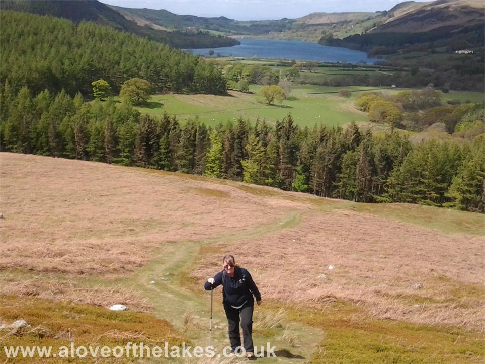
Looking back to the start of the path and Loweswater
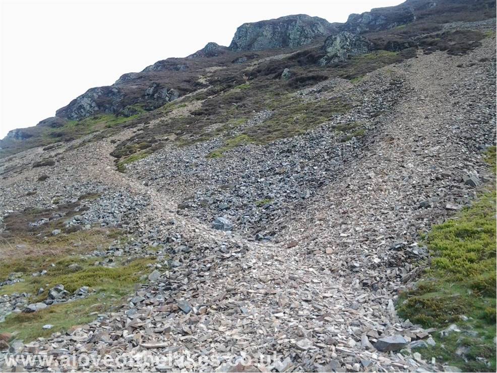
At the start of the steep scree slope and what follows now is a
fairly uncomfortable tussle for 30 mins or
so in trying to keep a firm footing. Its
best to take the path on the left which is banked a little and slightly
easier to walk on. Either way, the aim is to try and head for the
dip to the right hand side of the rock tower
in the centre.
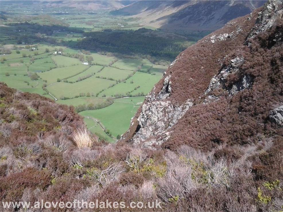
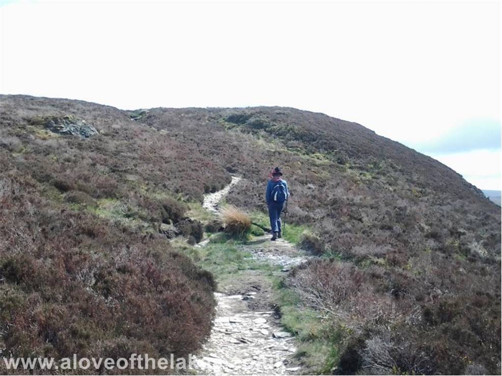
Past the rock tower and the path turns to the right, where the
walk takes on a whole new complexion as
the path narrows (alarmingly) as it passes over the top of “the
big gulley” as Wainwright described it
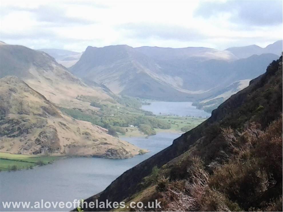
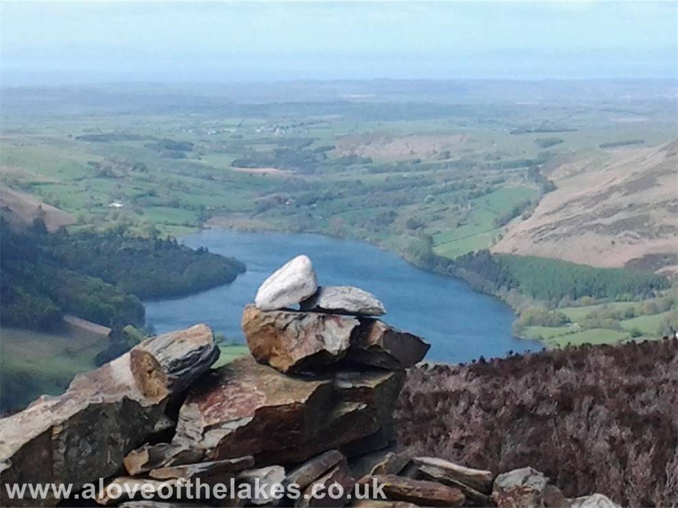
Slightly higher up at the second rock promontory and a “lovely
peep round the corner” revealing
Crummock Water and Buttermere
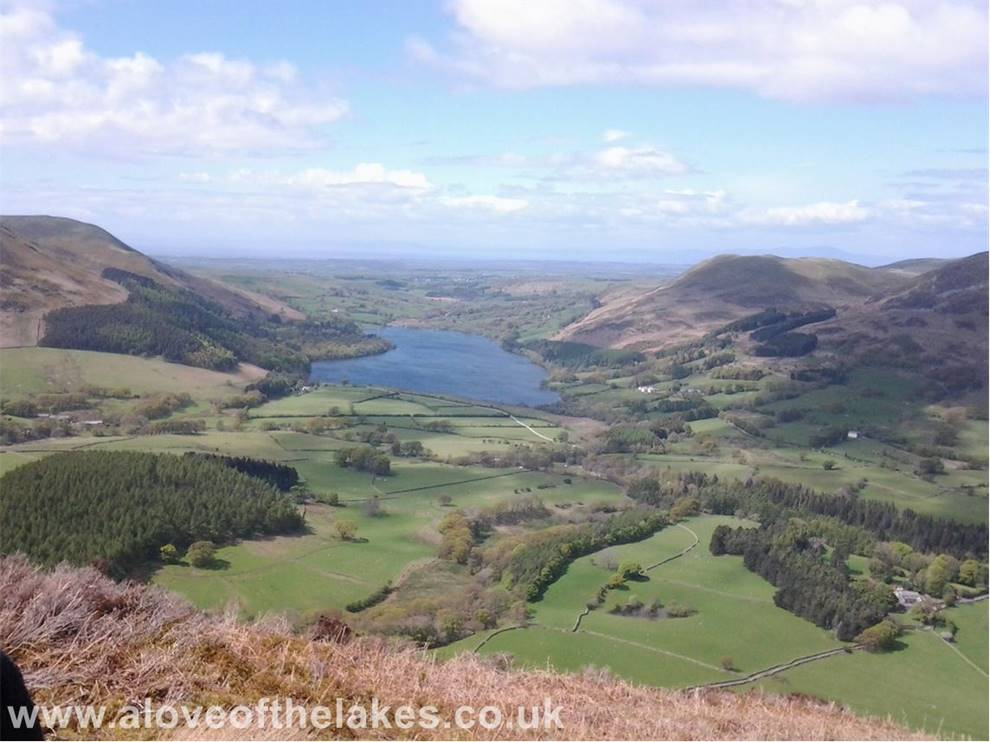
Looking towards Loweswater
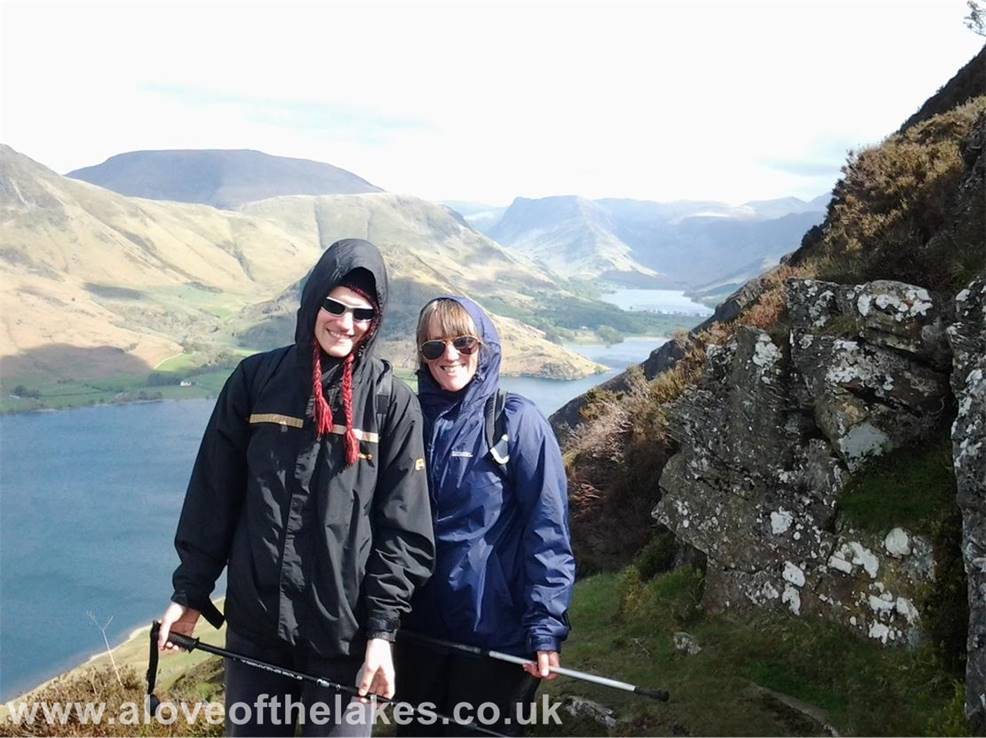
Sue and Ste at the second rock promontory
The track thankfully turns right back in to the mountain and away
from the exposure and levels off somewhat
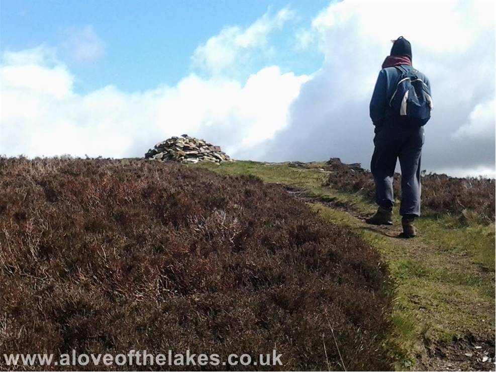
Fairly soon the North Top summit cairn comes in to view
The north tower summit cairn
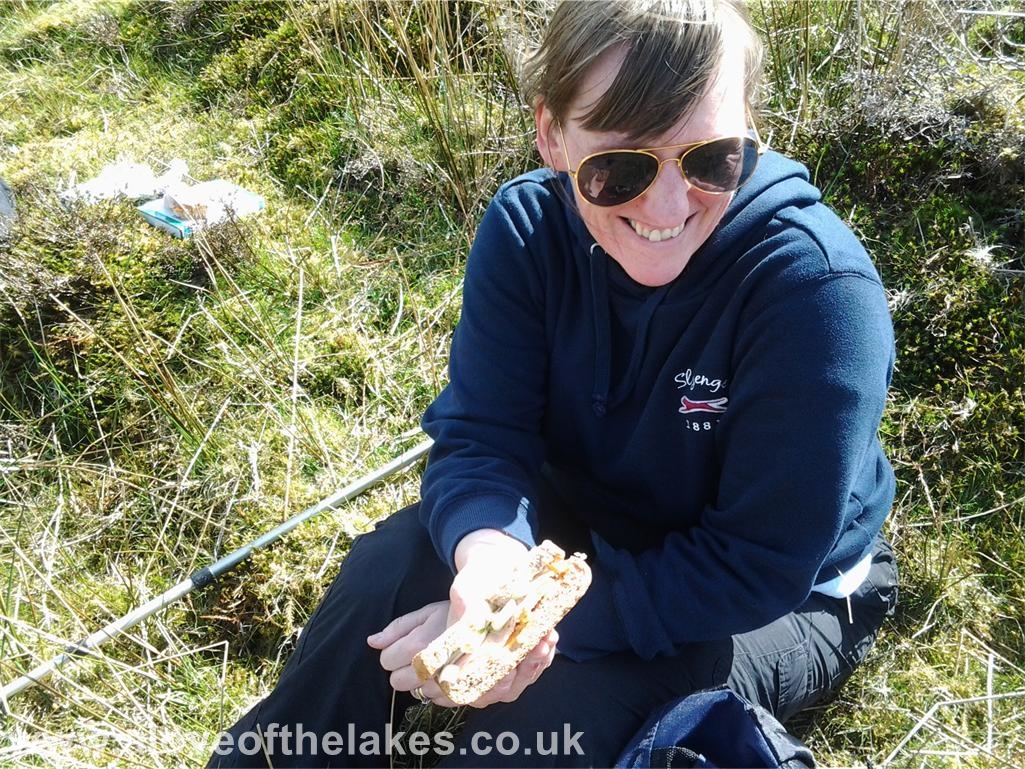
Sue tucks in to a “Dockers” butty for lunch
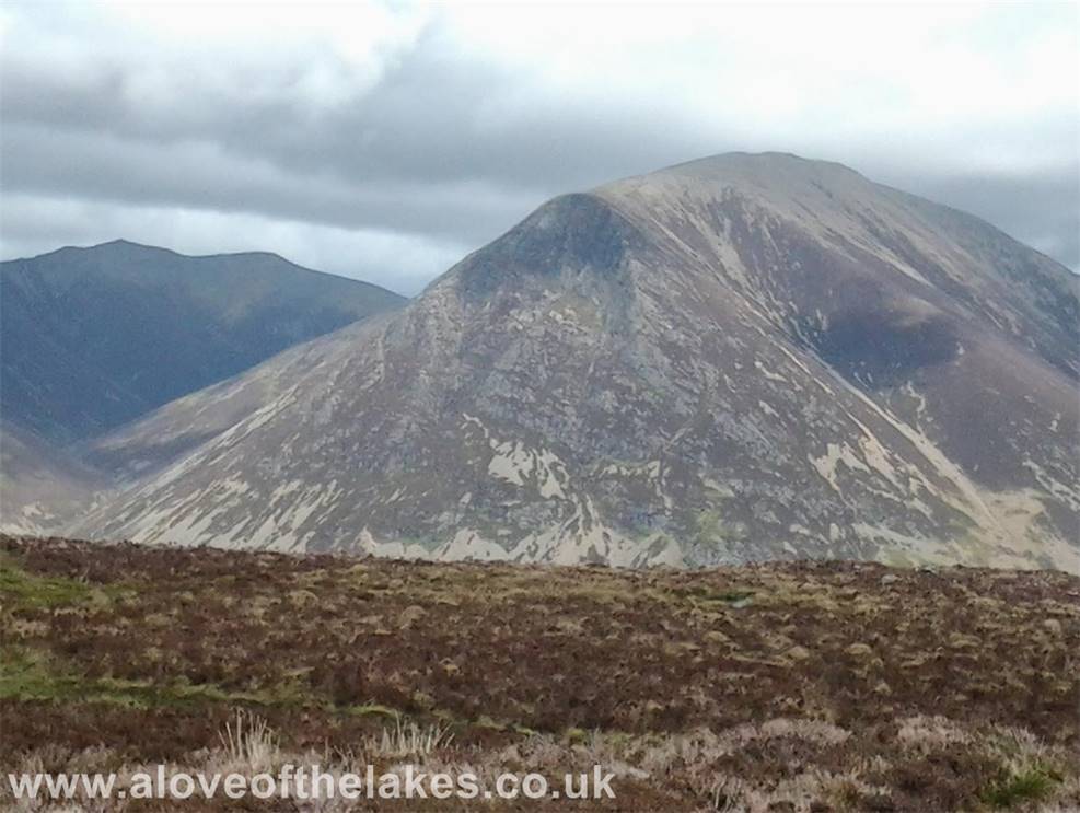
Hopegill Head (left) and Grasmoor from the summit
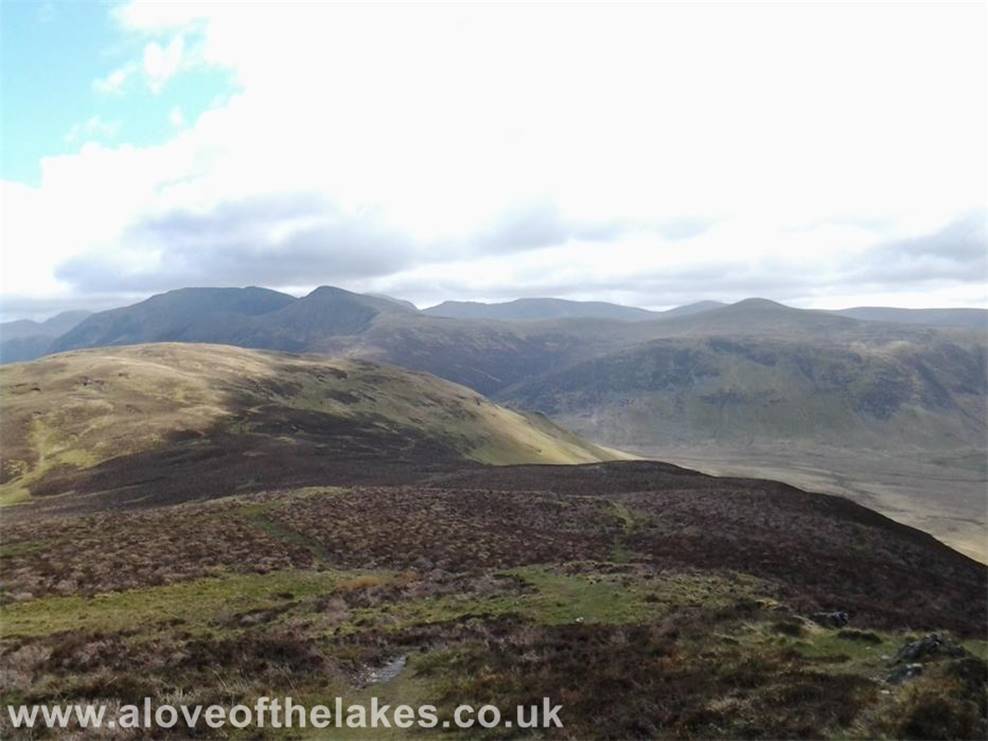
Looking towards Red Pike and High Stile
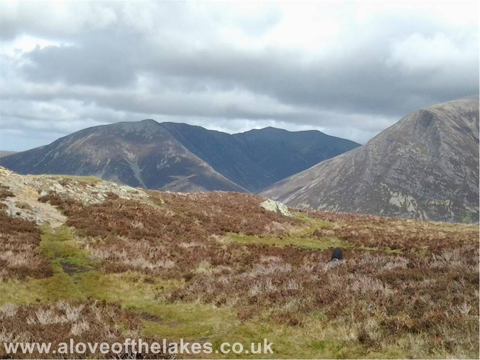
Whiteside and Hopegill Head from the
summit
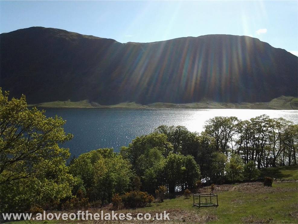
Mellbreak in profile as we head back
towards Buttermere
Copyright ©
aloveofthelakes.co.uk 2011 - 2020