Walk : High Pike (2,157 feet), Carrock
Fell (2,174 feet)
Date : 1st October 2018
Weather : Overcast,
dry for the main @ 12°C strong cold wind on tops
Distance : 7 miles round trip
Time
Taken : 1hour 30 mins to
first summit (High Pike)
Which
part of Lakeland is this walk situated
Terrain
Overview
Overview
The group of fells that lie to the North behind Blencathra
in the Caldbeck / Mosedale
region offer some long gradual climbing over vast expanses
of moor land and
disused mining areas and a perfect reintroduction to fell walking after a sport
related ankle injury. The whole route throughout
is a good track and
easy to navigate. This was the first walk of our week long stay in Ambleside so we took advantage of the dry conditions
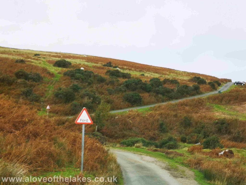
From the A66 out of Keswick towards Penrith take the minor road signposted for Mungrizedale and Mosedale. After a
few miles along this road
you will see the
traffic warning signs as you approach Carrock Beck
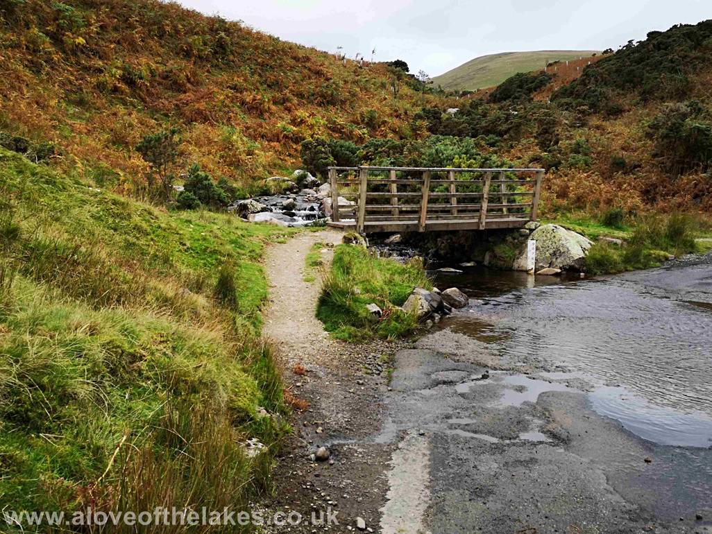
Depending upon conditions at the time a little care is
needed crossing the Beck
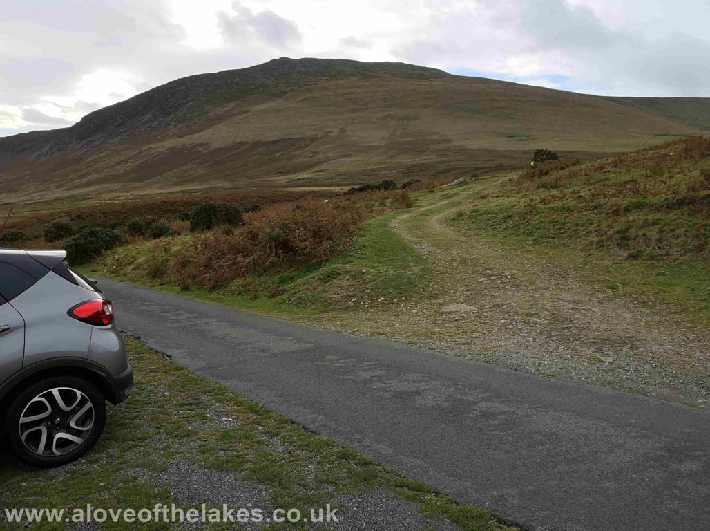
Soon after the Ford there is an area of off road parking for several cars,
this particular part is right opposite the start of the walk, an old mine track
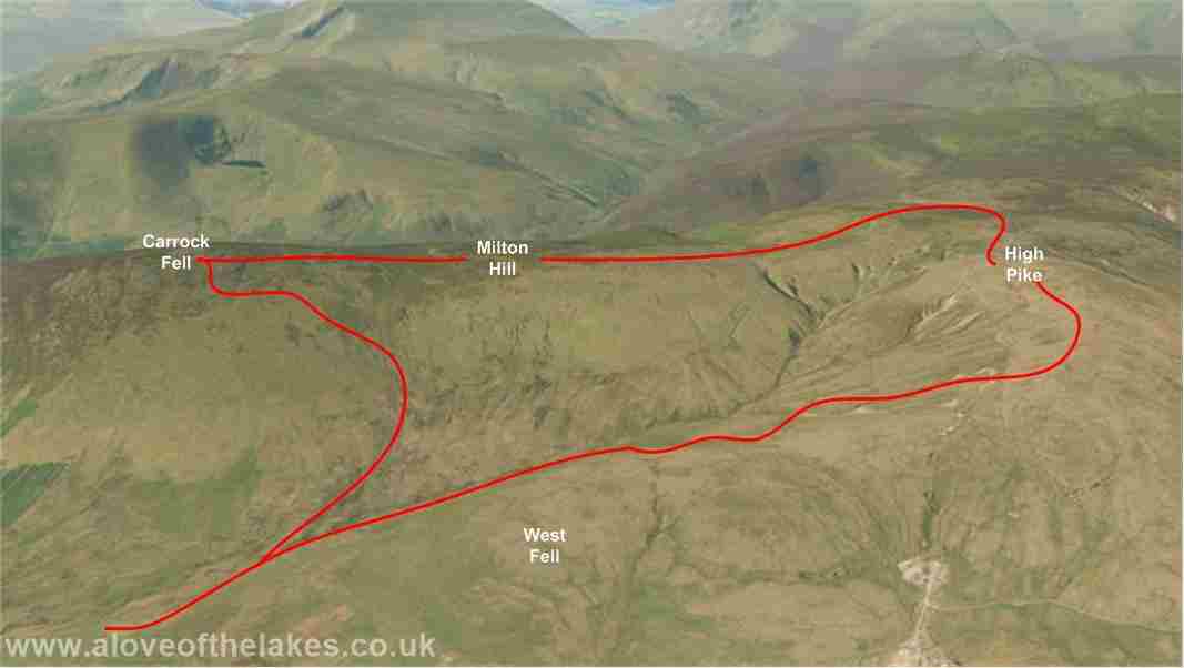
Carrock Fell
towering in the background
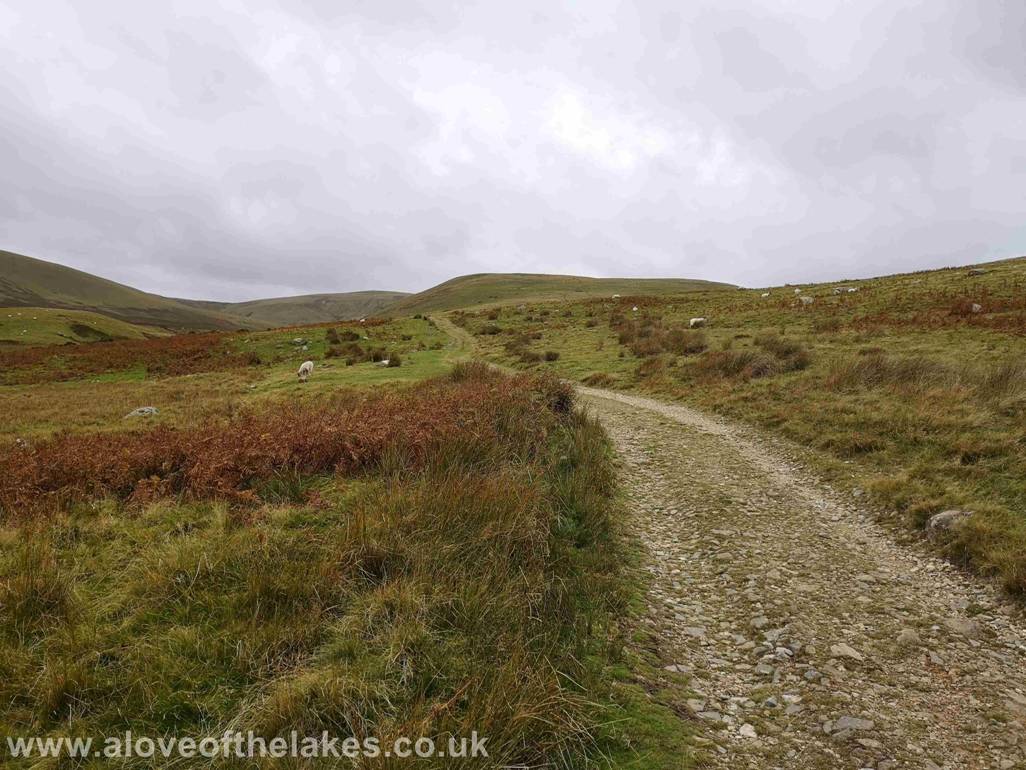
The track heads off towards the base of West Fell (centre right) which
is part of the ridge to High Pike itself and the opportunity to gain the ridge
presents itself further along if you
choose to – however this walk description does not follow this
The optional path to gain the ridge on West Fell
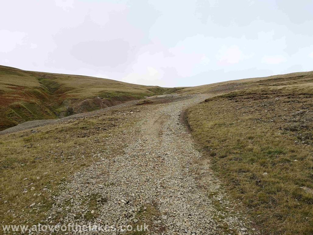
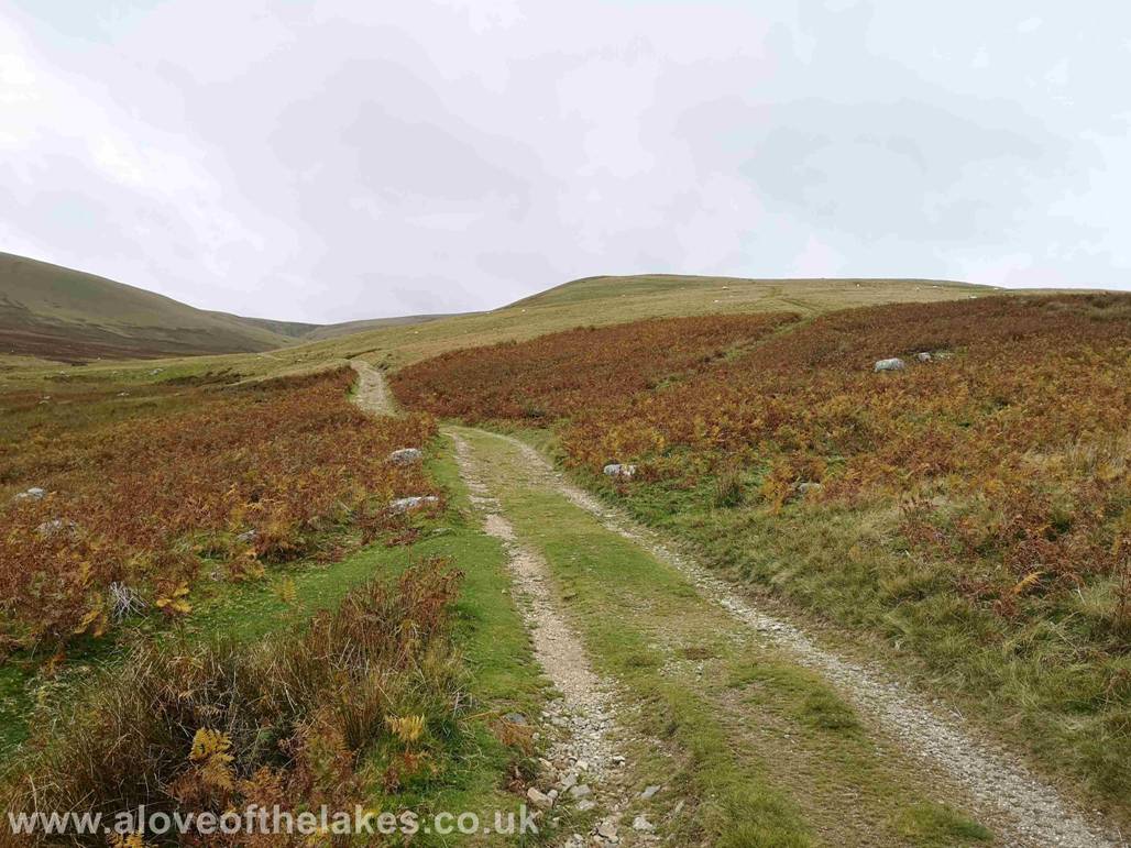
About a mile or so into the walk the path swings round to the right to
pass through a disused mining area
There is no merit in taking any short cuts – the main path surface is
the better walking option to gain the approach ridge to High Pike
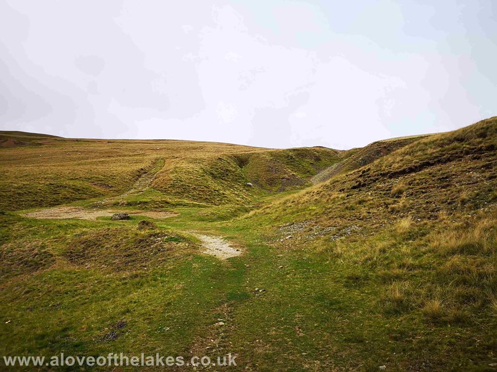
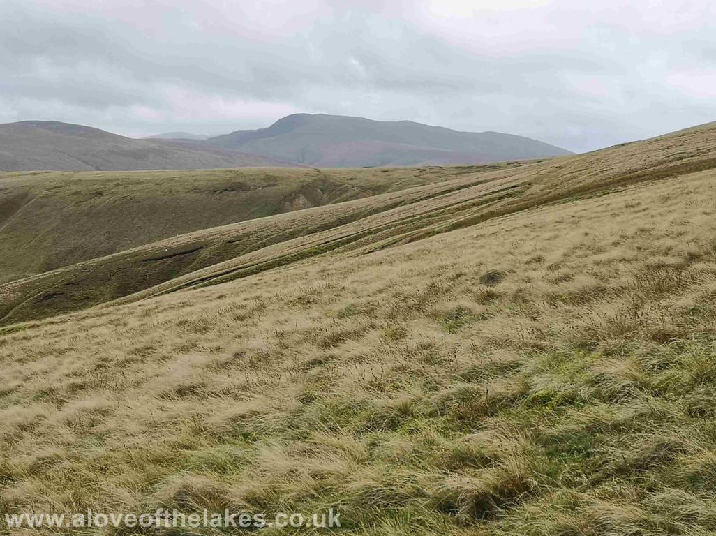
Looking back at the top of the old mining area towards Carrock Fell
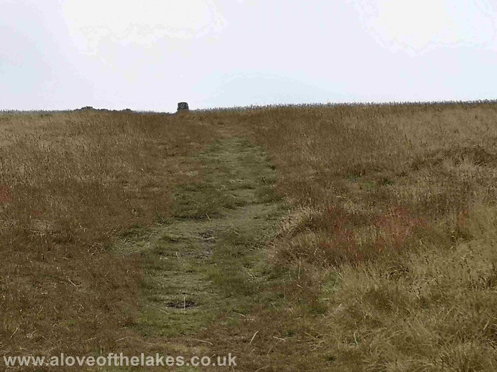
The final part of the track up to the summit – the shelter cairn can
just be seen top right
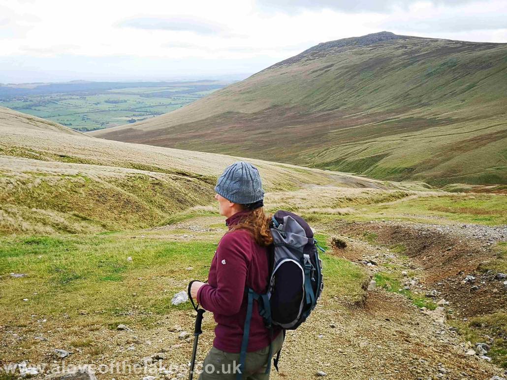
Looking west towards Blencathra over the top
of Driggerth Mine from the summit track
The summit Trig point
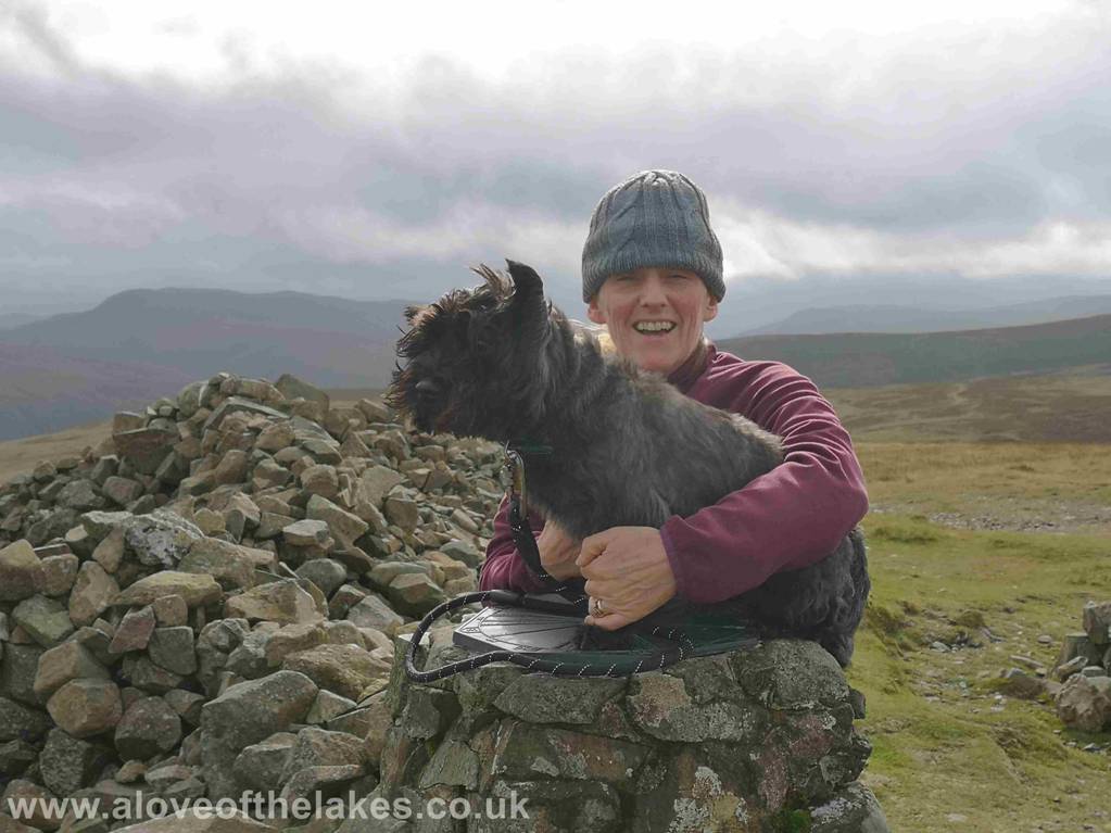
Sue and Jones on the summit of High Pike
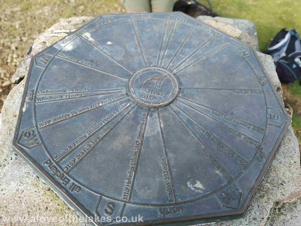
The Trig point commemoration plate
Click here for a 360 degree view from the summit of High Pike … https://youtu.be/UqJ9eFfKO-E
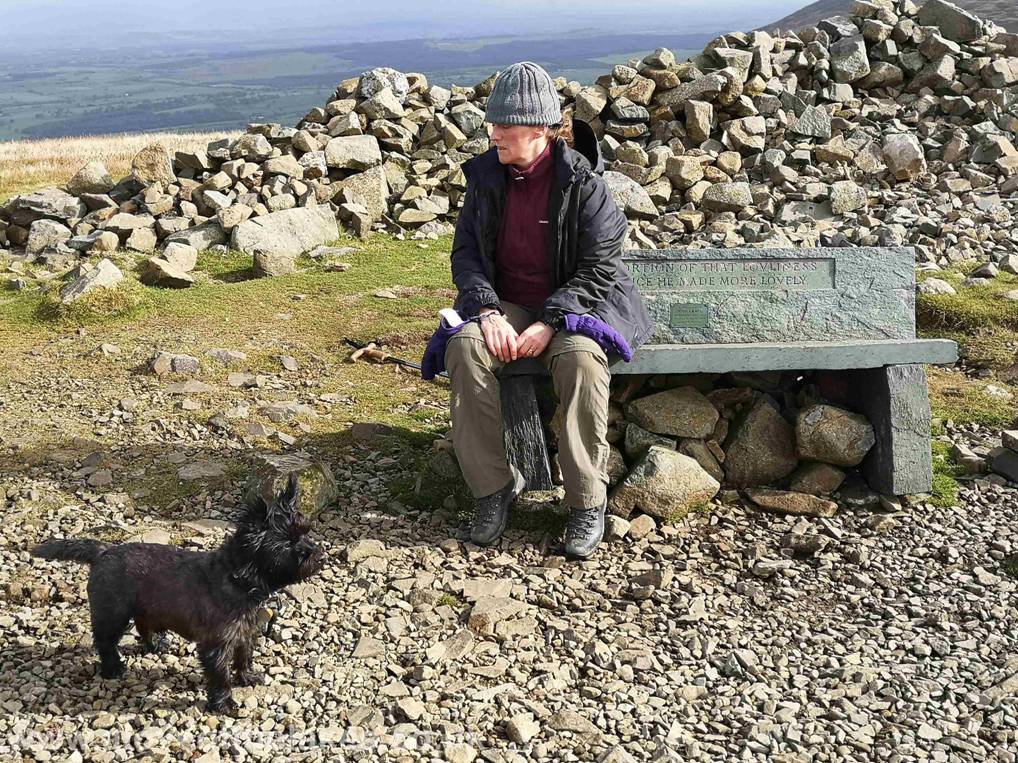
The Memorial bench on the summit “He is a portion of that lovliness that once he made more lovely” a tribute to a 16
year old Mick Lewis who
died 8th May 1944. I`m
not sure if the spelling of loveliness was deliberate or an oversight
???. Either way due to previous misdemeanours on the
way up to the summit Sue and Jones are not on speaking
terms at the moment
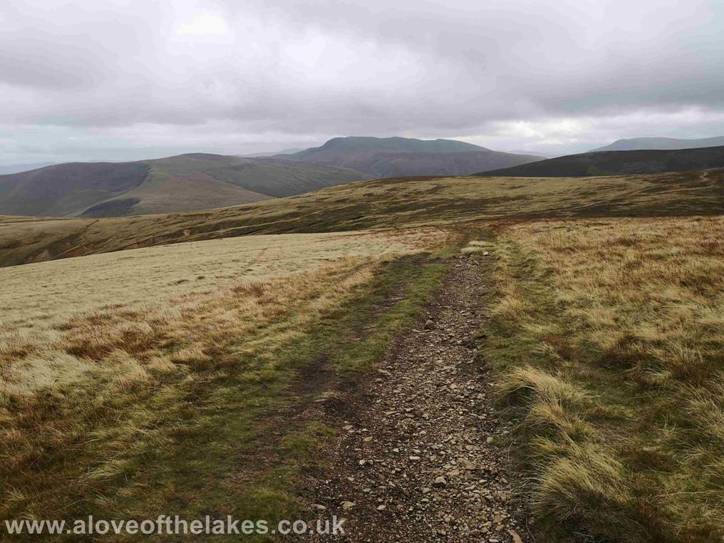
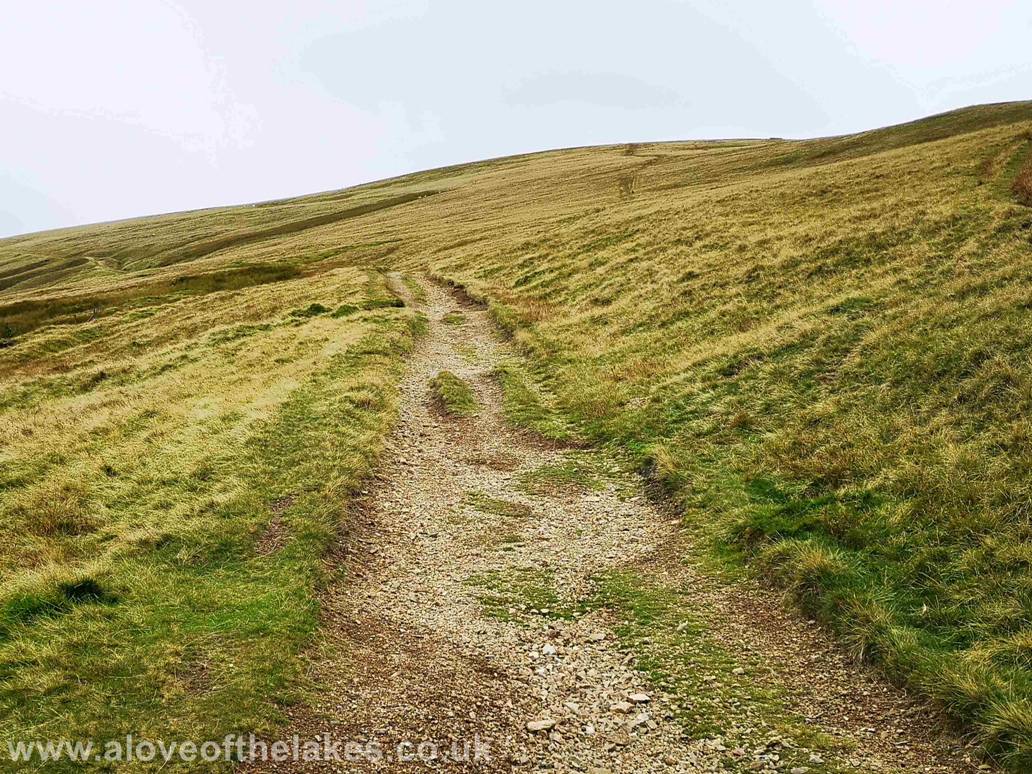
We take the path south that crosses the top of Drygill
Head as we journey round to Carrock Fell. No
navigation problems at all as it swings round
to the left and heads eastwards
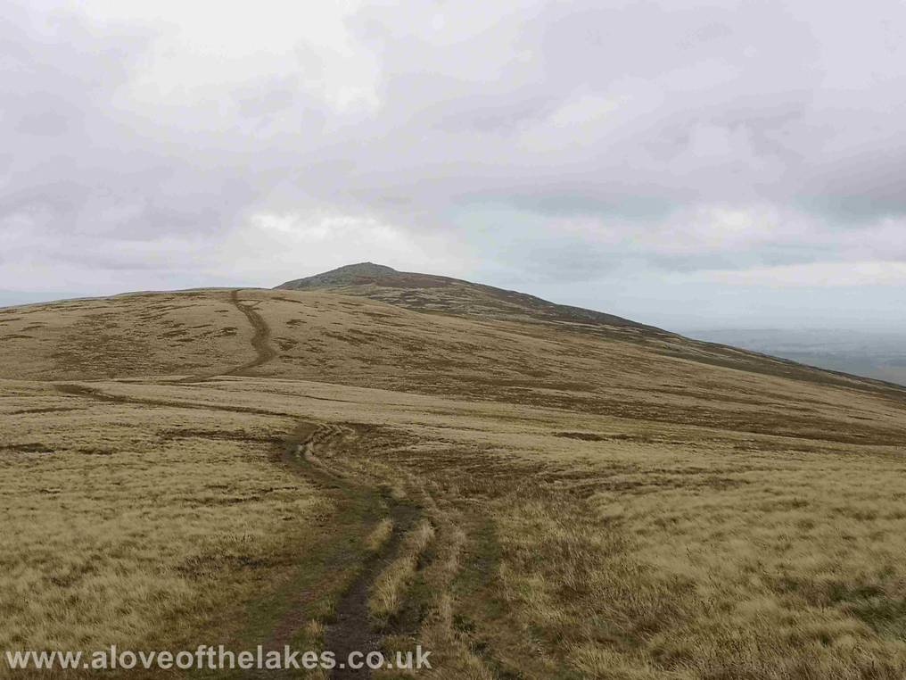
Following the track to the summit of Carrock fell
– a bit boggy in parts but other than that no problems
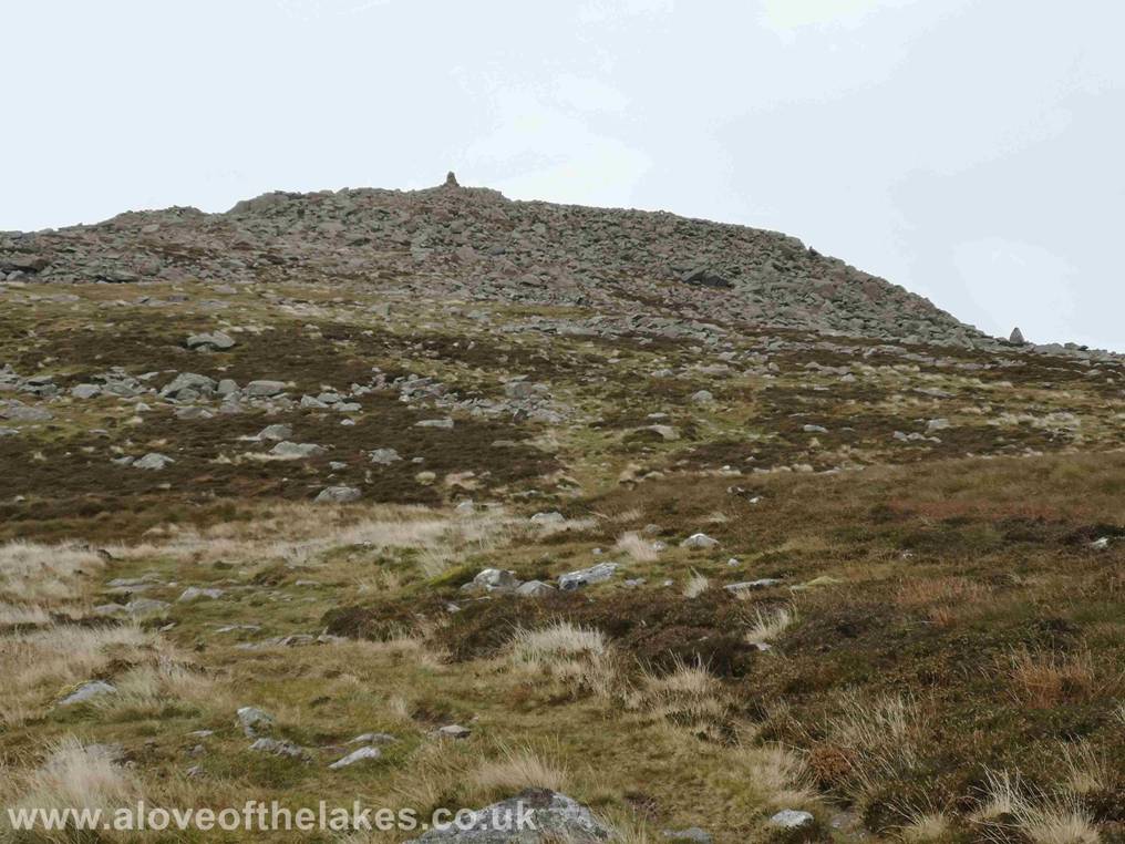
Wainwright said of the ridge route from High Pike “The finish is the
best part of the route” – by that I presume he meant that the small amount
of scrambling required to reach the summit, nothing
too onerous though
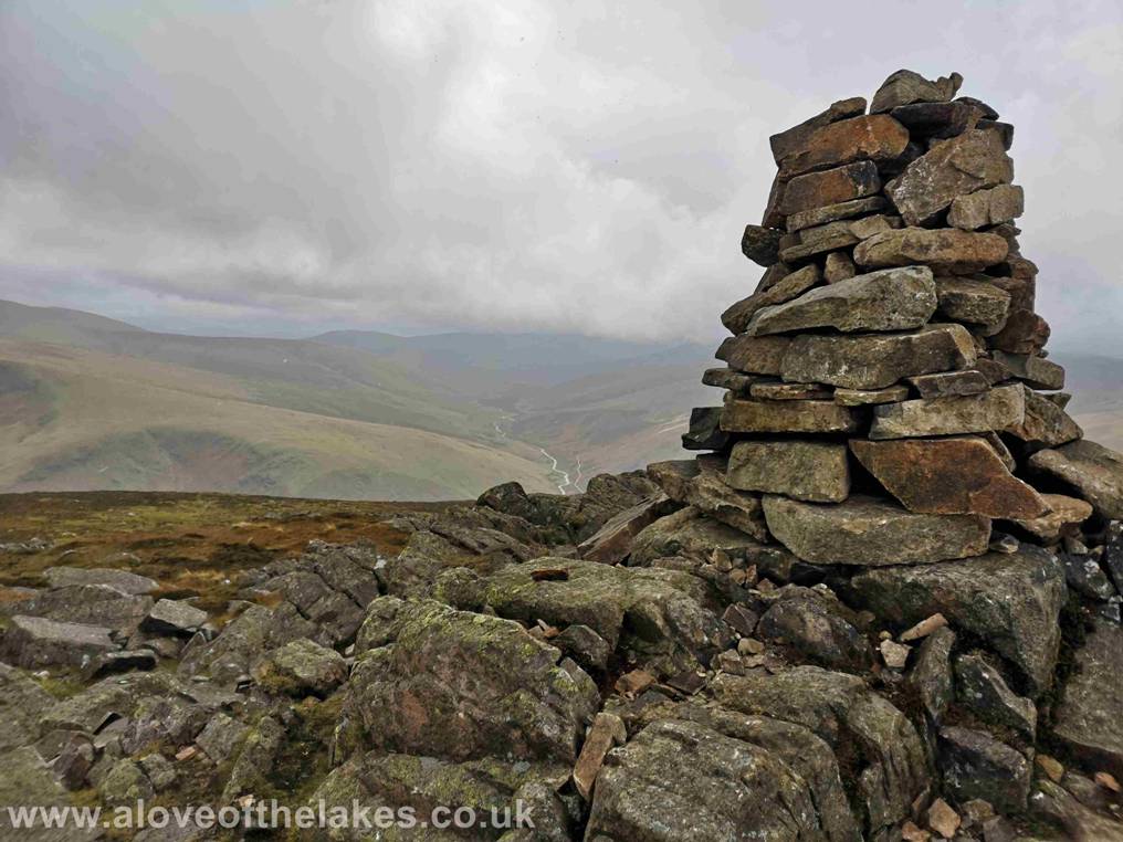
The summit cairn on Carrock Fell
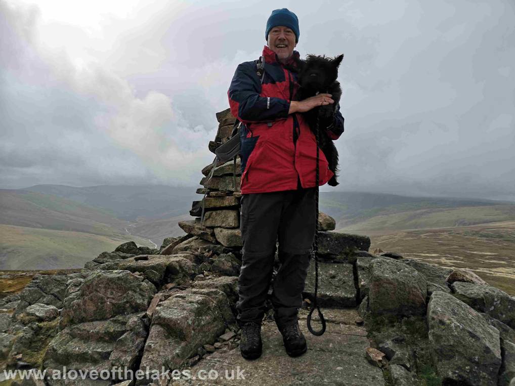
Me and Jones the Bastard on the summit of Carrock
Fell
Click here for a 360 degree view from the summit of Carrock
Fell … https://youtu.be/WMiMFtWnxUs
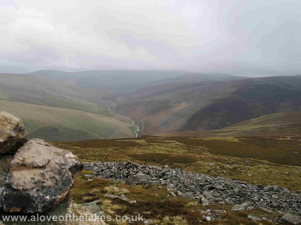
Looking towards Skiddaw across the Caldew valley
Copyright © aloveofthelakes.co.uk
2011 - 2018