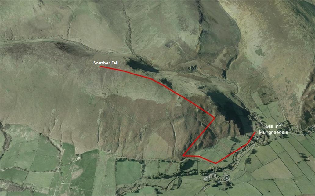
Walk : Souther Fell (1,680
feet) from The Mill Inn Mungrisedale
Date : 10th January 201
Weather : Horrible,
low cloud, poor visibility, mist @ 4°C
Distance : 3 miles round trip
Time
Taken : 1 hour 15 mins to
summit
Which
part of Lakeland is this walk situated
Terrain
Overview
Overview
The original intention today was to climb Carrock
Fell and take
the ridge to High Pike. When we arrived at the start you couldn`t
really
see too
far and there was a big bank of mist and horrible weather closing in from the
north, so we headed back south and climbed Souther
Fell
It wasn`t too long before the weather system caught up with us
on its journey south and this left us on top of the summit with nothing to see
The climb itself
was very straightforward and easy to navigate when on the ridge line, the views of Blencathra
would have been stunning
but today
was not to be.
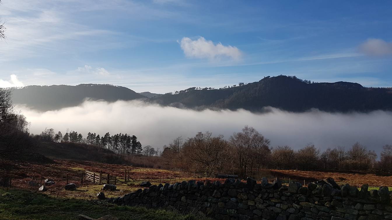
I had originally thought about doing some of the fells in the Central
region, but plumped for the Northern area. Oh how I wished we had have gone
with the original instinct as we drove
past Thirlmere and a lovely
little temperature inversion
After abandoning the intended route of Carrock
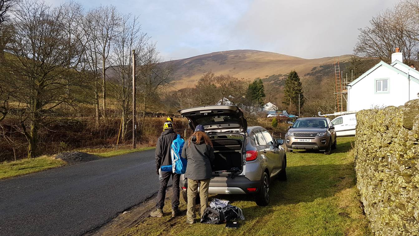
Fell and High Pike we doubled back to Mungrisdale and
parked on the verge just past the Mill Inn
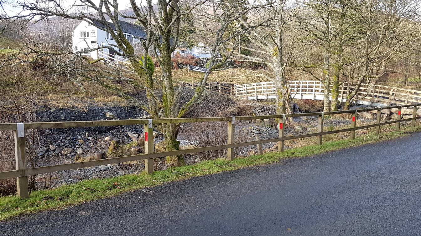
Walking back towards the Pub cross over the new footbridge that crosses
the River Glenderamackin
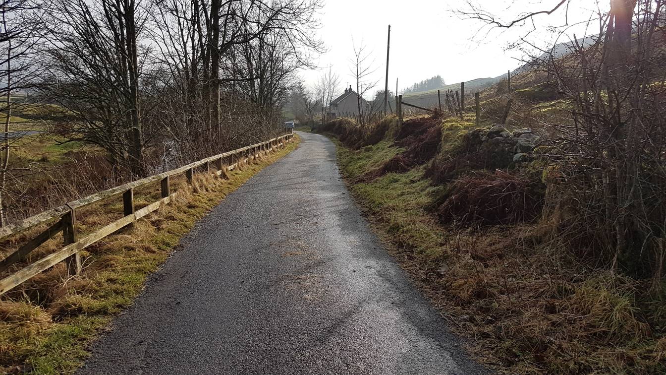
Once over the bridge, turn left and follow the
tarmac road up to a gate
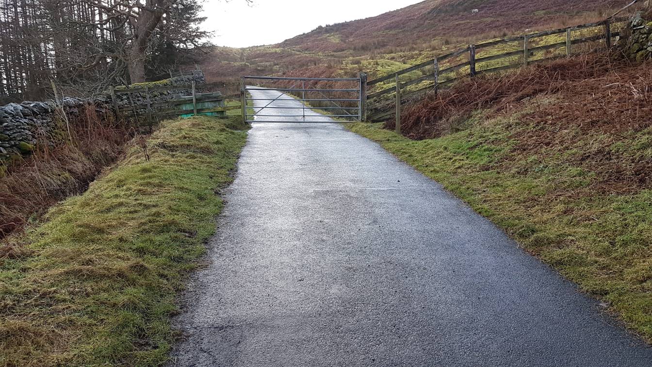
Through the steel gate and turn sharp right to pick up a boggy track
that runs parallel with the fence
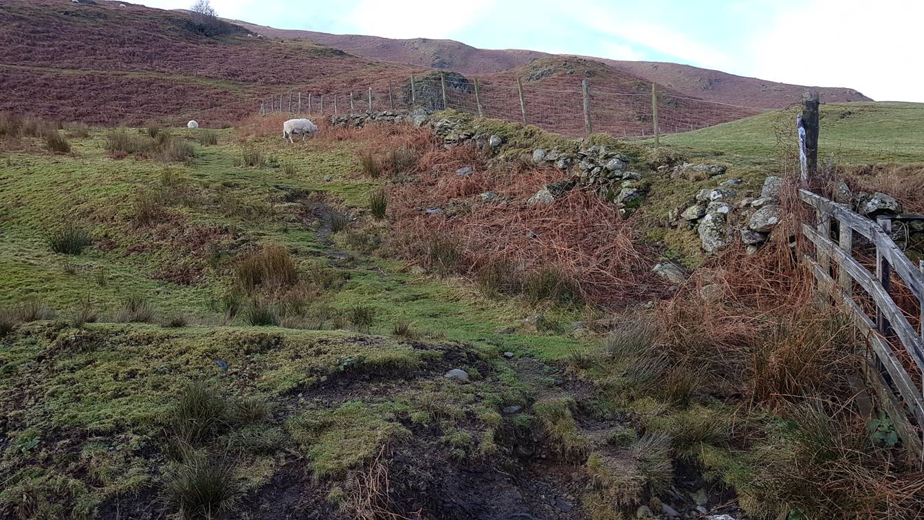
Follow the track round as it veers to the right
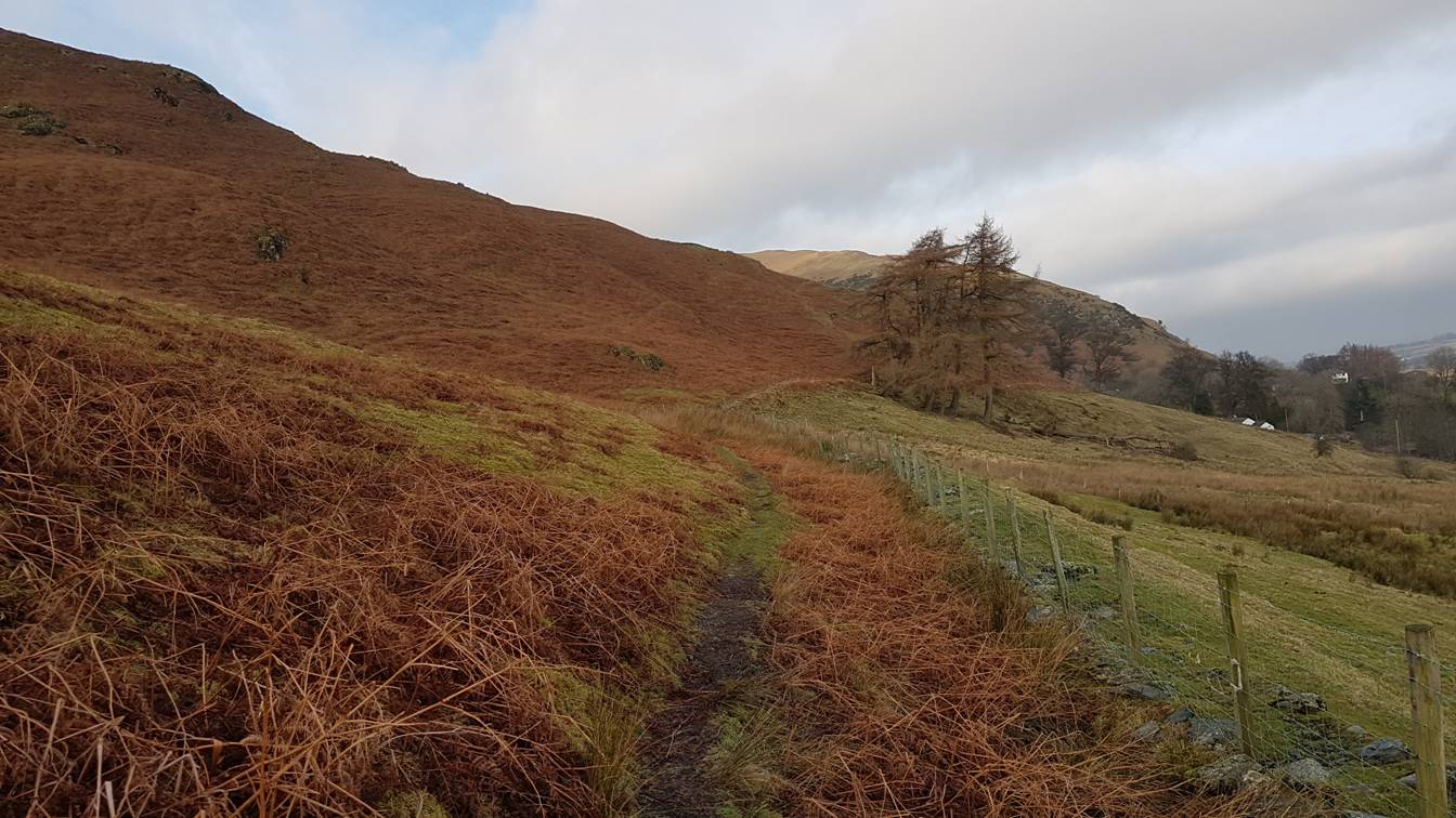
Once the track swings round you can see the start of the ridgeline.
There are a number of places along the path where you can get on to it
The one we chose was just after the trees in the previous picture. Once
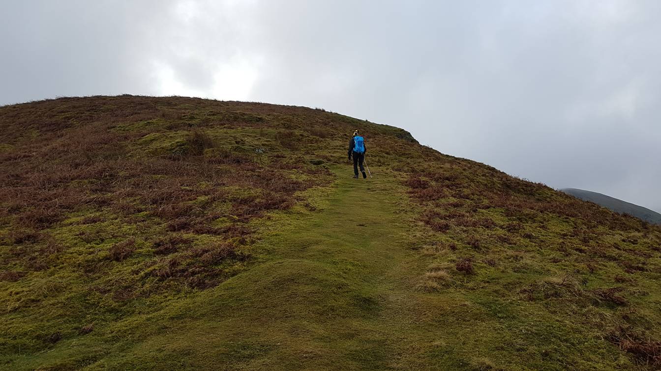
on the ridge the path is clearly well defined
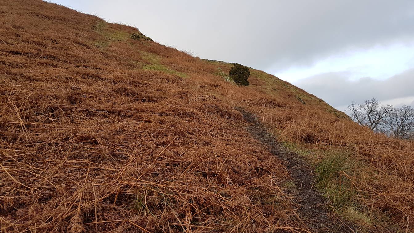
Looking back South towards Clough Head from the path
The path navigates in and around a number of rocky outcrops
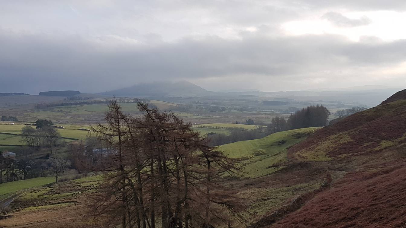
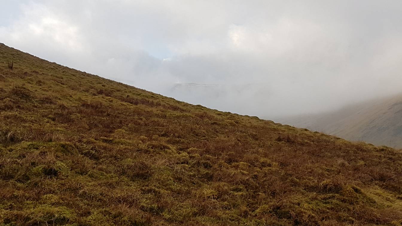
At this point you should be able to start seeing the drama of Blencathra and its ridges, however
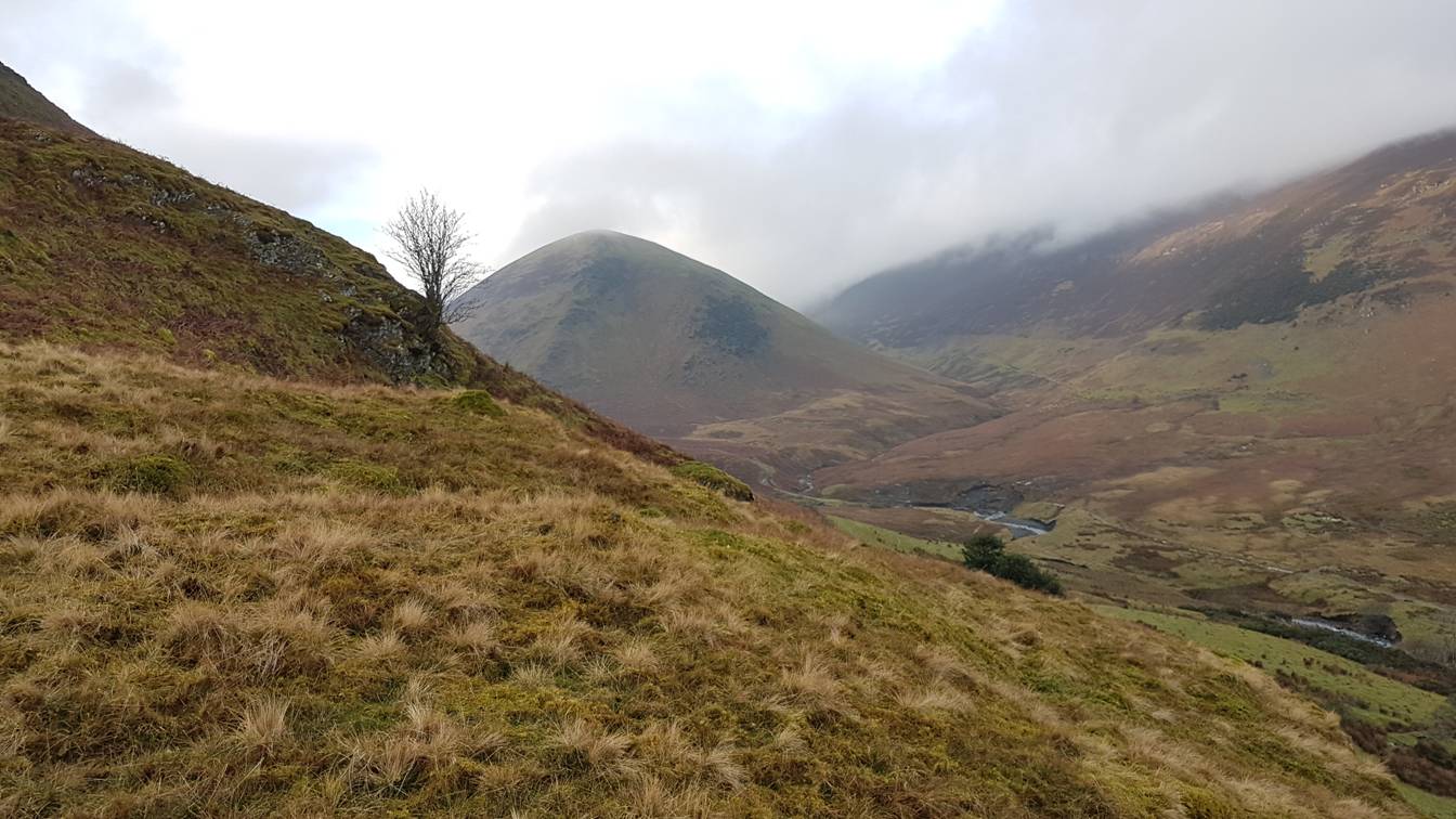
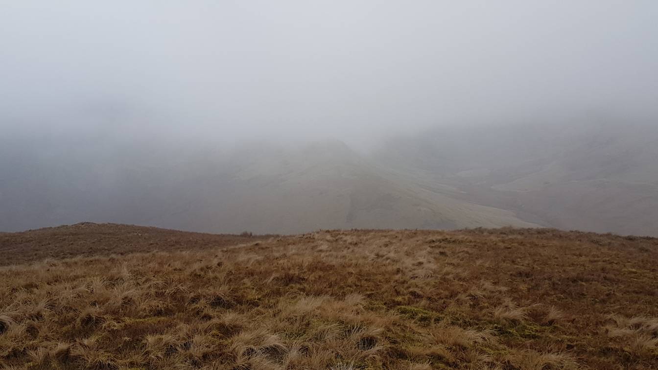
the weather was starting to close in. Here only the Tongue of Bowscale Fell is clearly visible
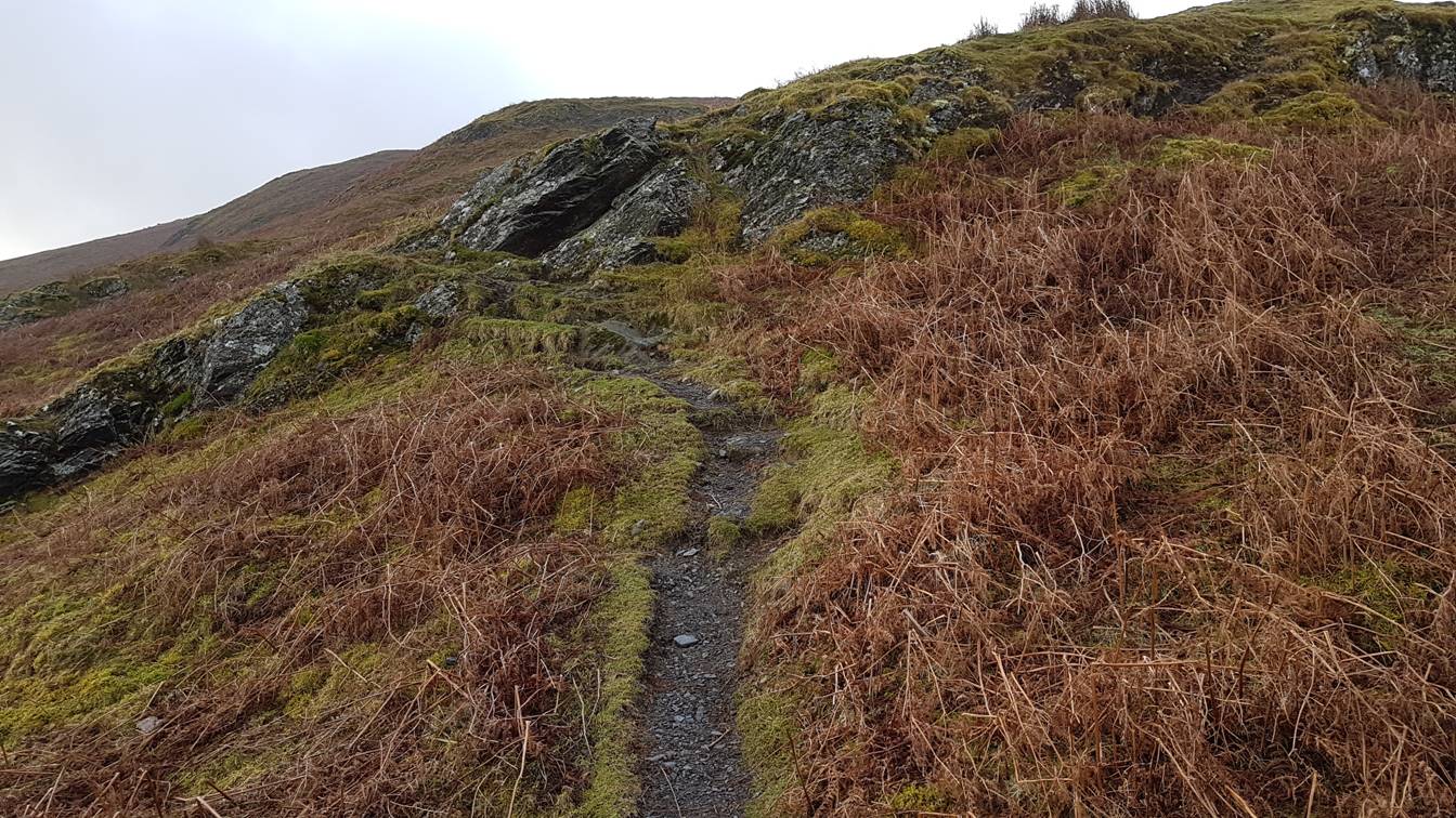
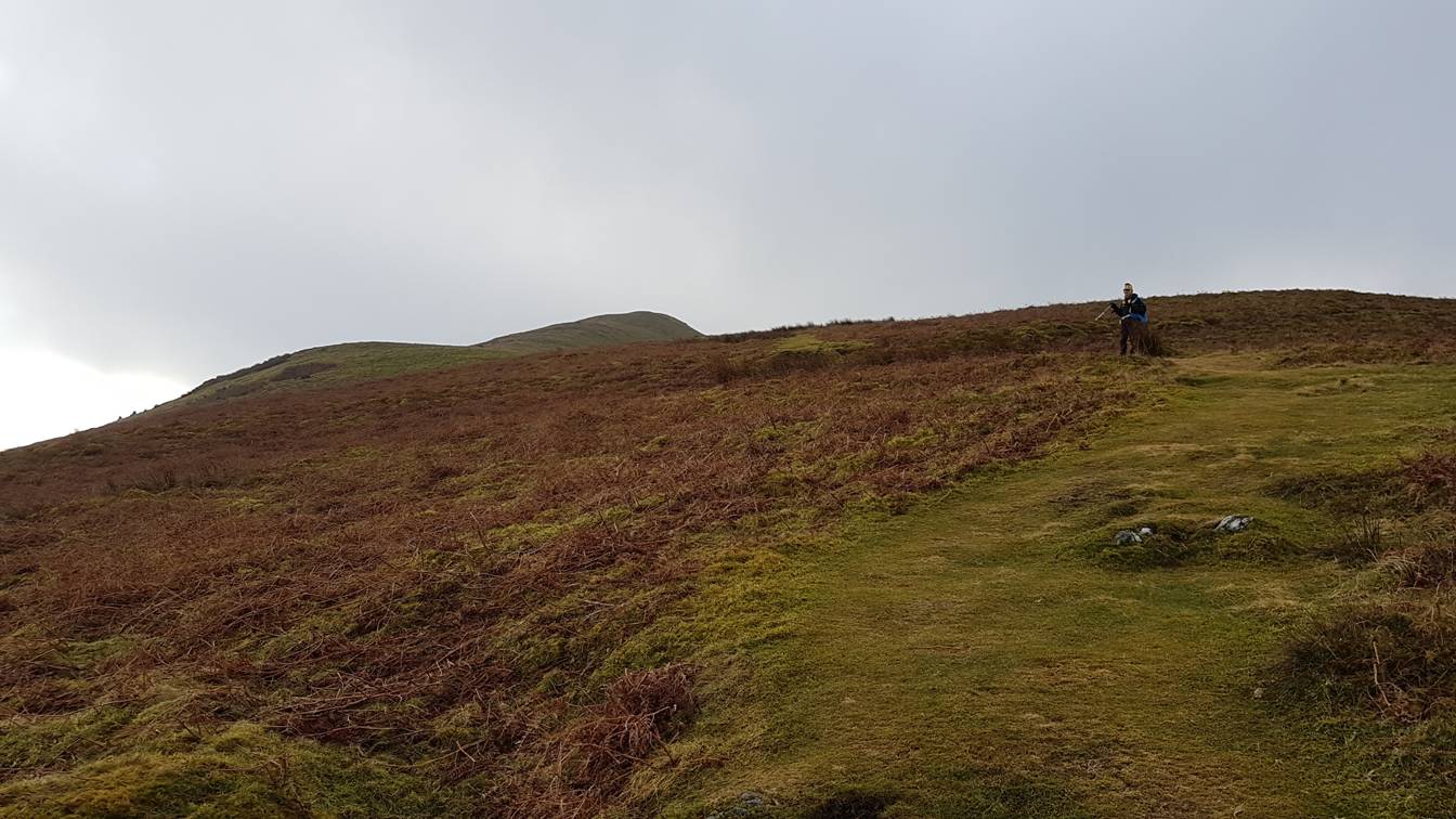
The grass track climbs steeply as it crosses over a number of “false
summits”
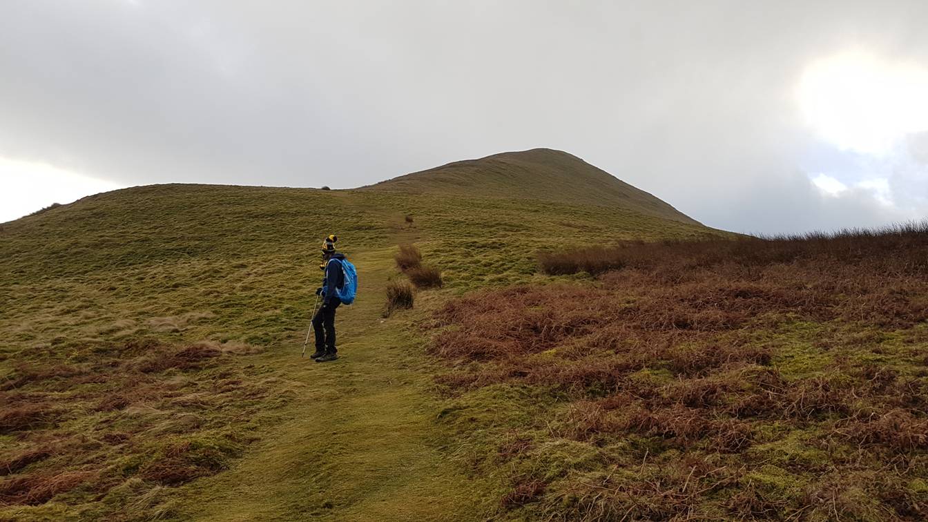
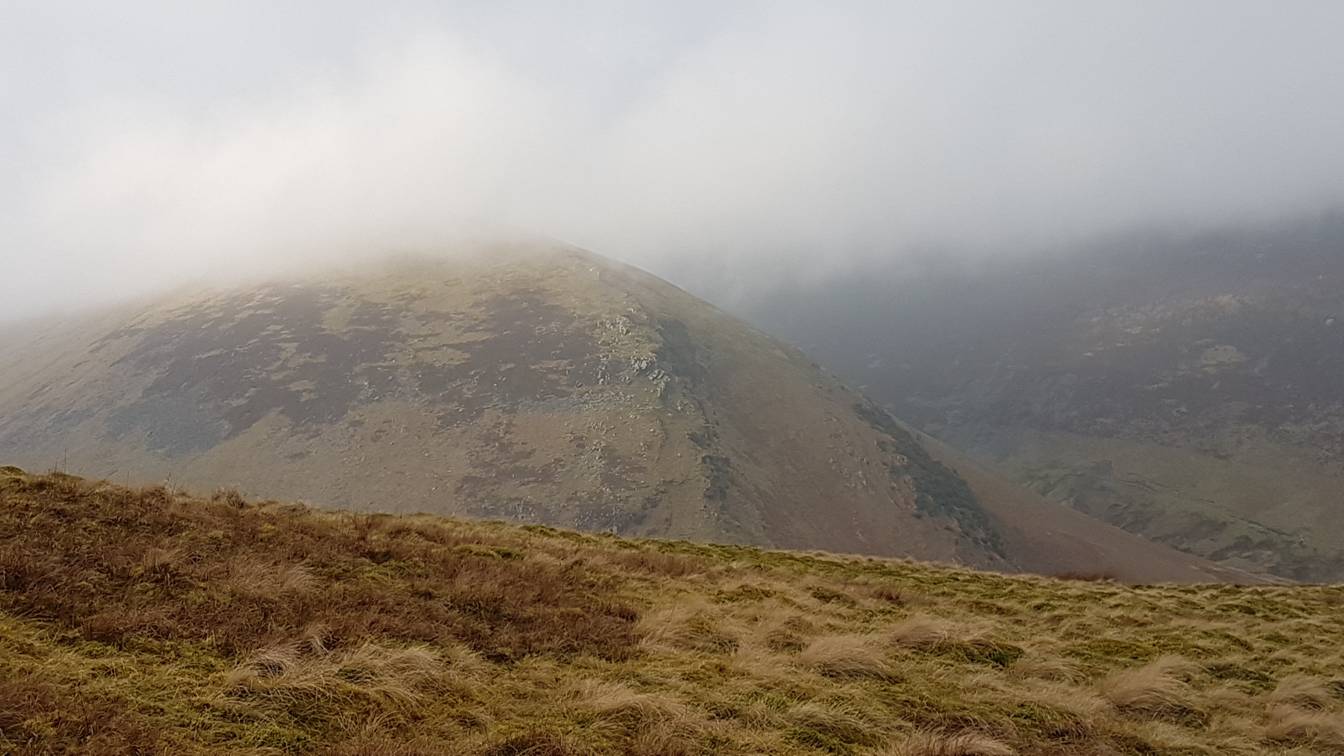
At last the summit comes in to view but at this point the mist is
starting to close in
Closer still and as you can see there are no navigational difficulties
Bugger !!! – here
it comes ….
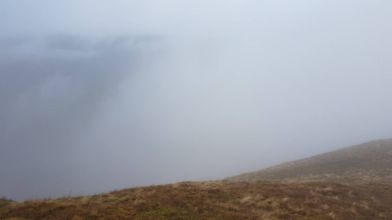
The area of
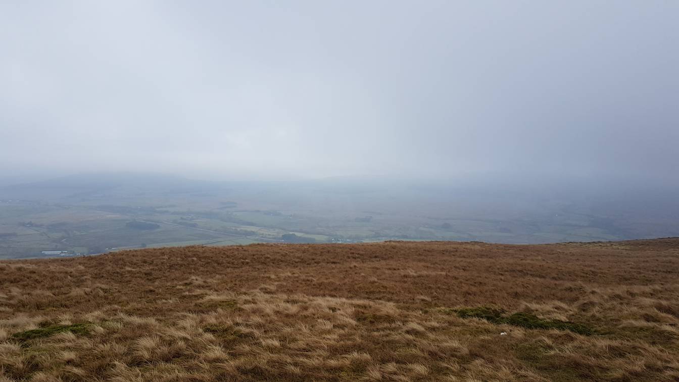
Where has everywhere gone ???
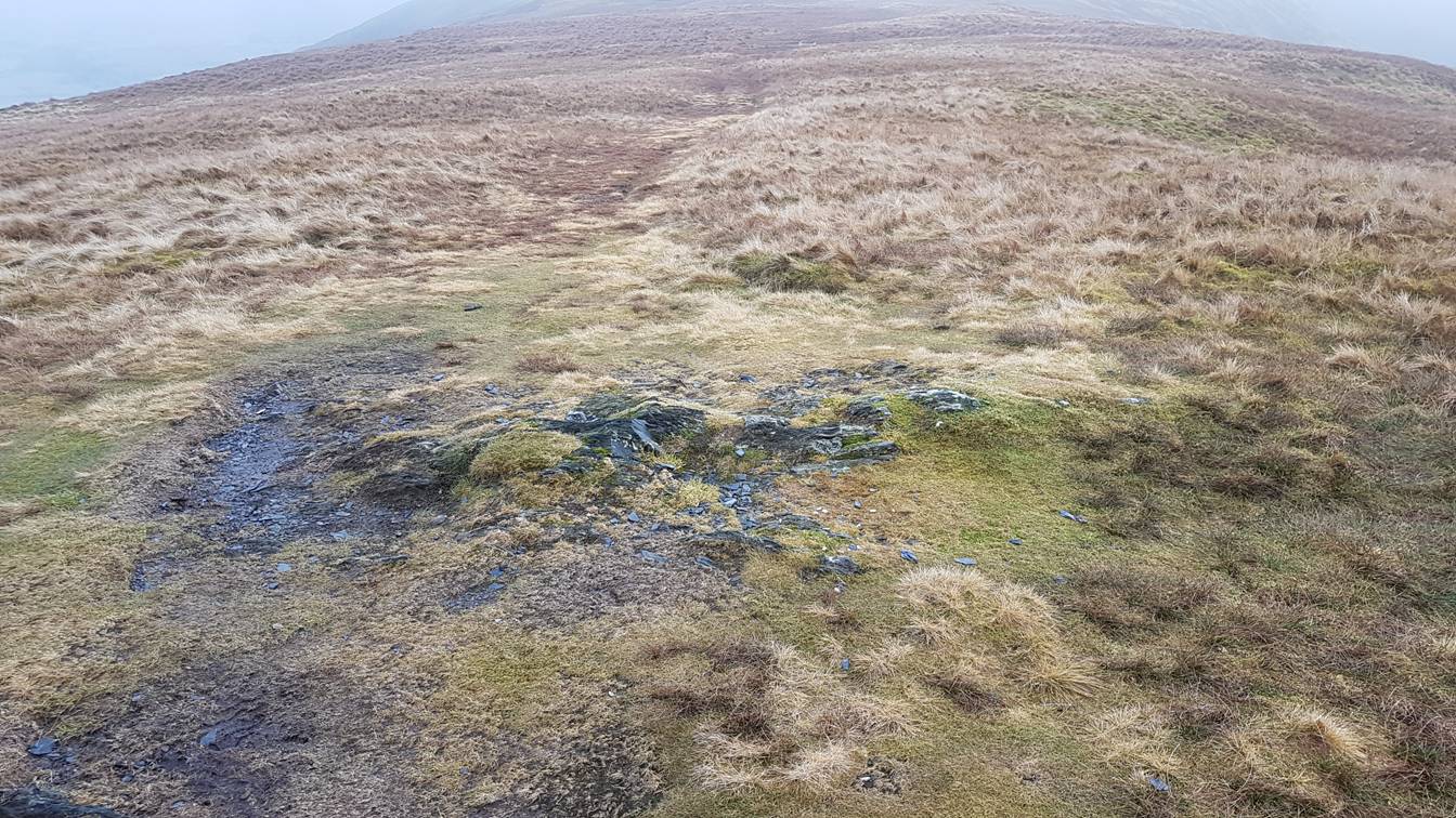
The final pull to the summit flattens out
Yuk !!!
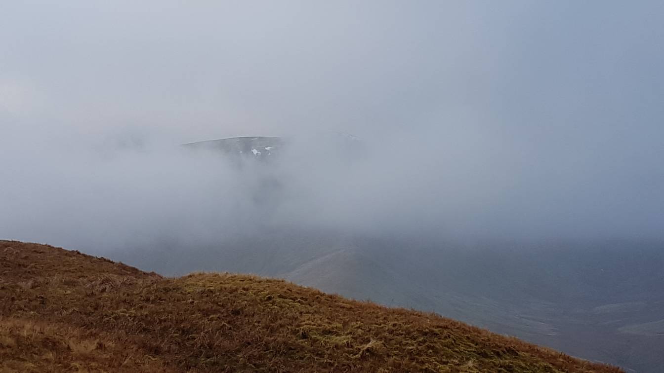
A bit of Blencathra … but only just !!!
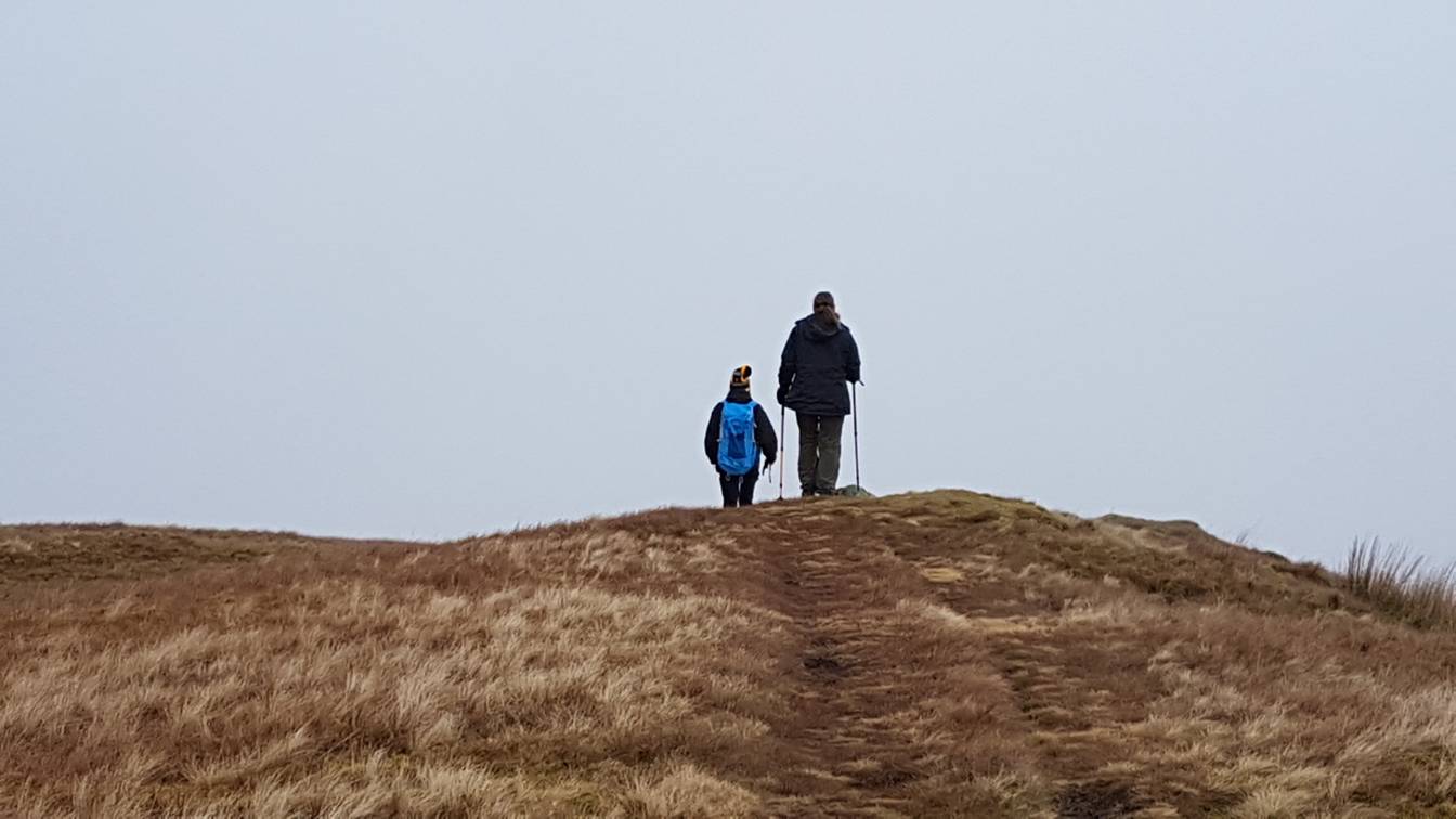
Sue and Ste on the summit .. but
you really wasn’t able to tell
Its hardly worth it but for the sake of consistency here is a 360 degree
view from the summit !!!! https://youtu.be/R7rpxZ7GLSA
And then there was nowt … time to get down and
to the Pub
Copyright © aloveofthelakes.co.uk
2011 - 2018