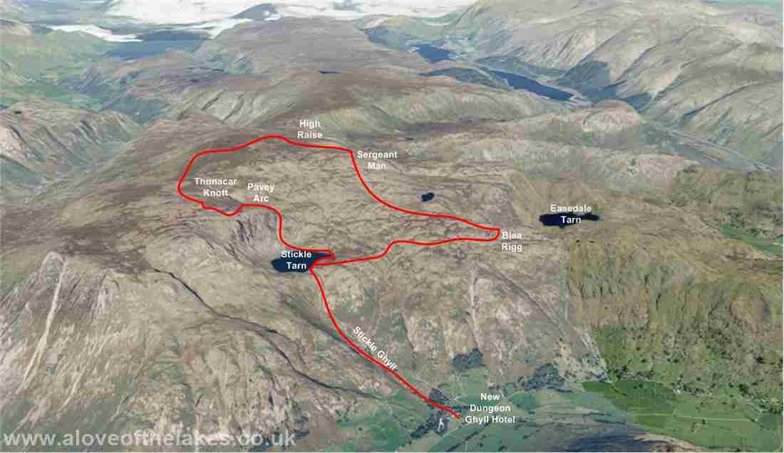
Walk : Blea Rigg (1,776 feet), Sergeant Man (2,414 feet), High Raise
(2,500 feet),
Thunacar
Knott (2,351 feet), Pavey Arc (2,288 feet) from New
Dungeon Ghyll
Date : 7th July 2018
Weather : Absolutely
scorching, cloudless skies @ 30°C
Distance : 7 miles round trip
Time
Taken : 1hour 40 mins to
first summit (Blea Rigg)
Which
part of Lakeland is this walk situated
Terrain
Overview
Overview
The scorching hot weather of recent weeks continues,
temperatures all over the country in the low 30 degrees, with wall to wall
sunshine. Another
opportunity not to be
missed presented itself for a quick one
day spare of the moment visit to
fells in and around Langdale and the chance to take my personal fell count to
150 out of 214 Wainwrights. Tough walking in parts
due to the heat
and a little
confusion to the at times pathless route to Blea Rigg summit (in truth it was by process of visual
elimination as to the actual top), then
a tough slog up to
Sergeant Man (again in parts pathless) – but after that straightforward
navigation for the rest of the way
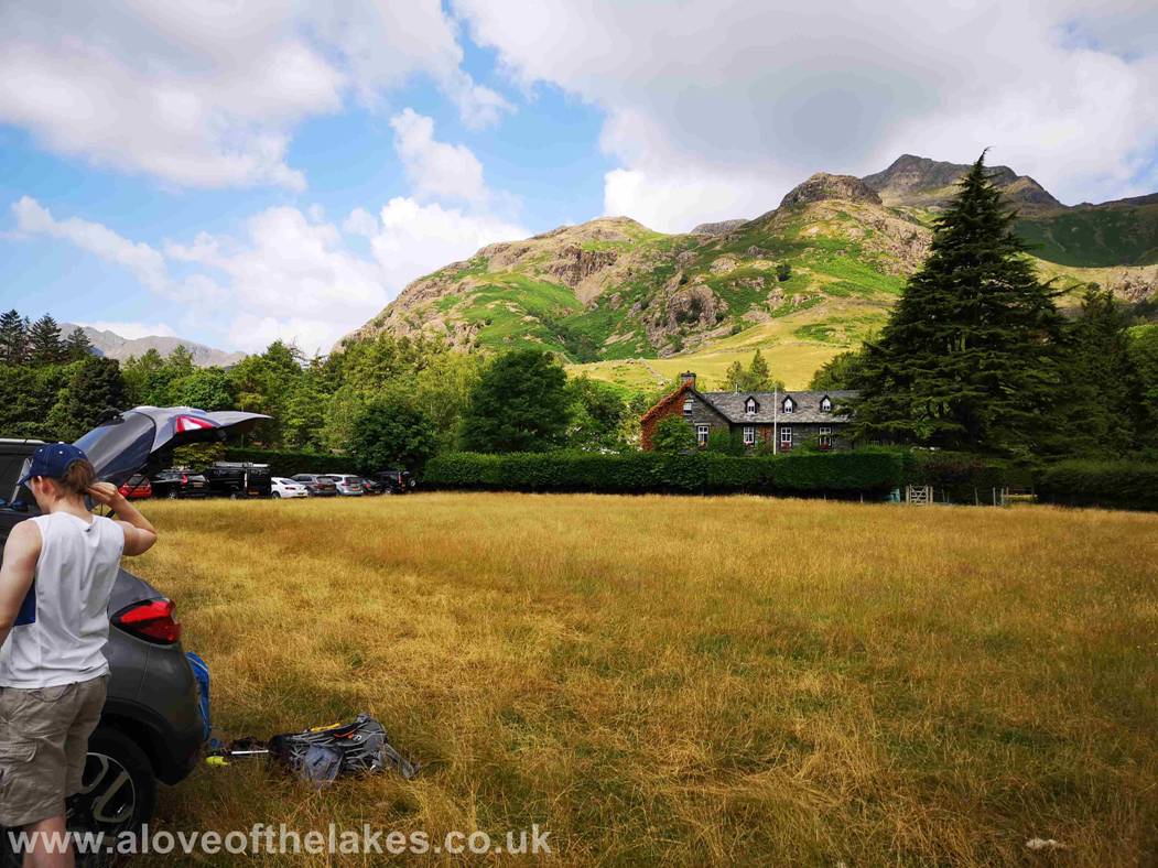
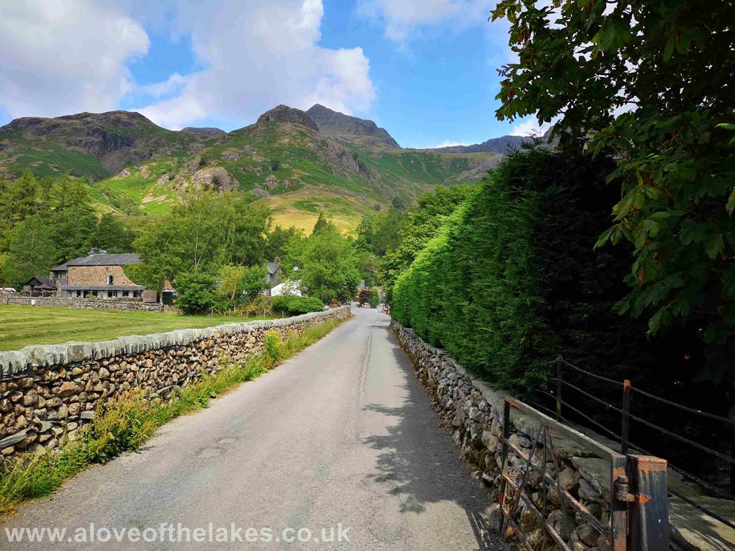
From Ambleside take the B5343 towards Great Langdale and head for the New Dungeon Ghyll
Hotel. There is a National Trust car park on one
side of the road charging (at the time of writing) £8
for nine hours OR there is the field opposite that belongs to NGD Hotel whereby
you pay £5
to park all day (payment and parking ticket from
the Walkers Bar) in the Hotel
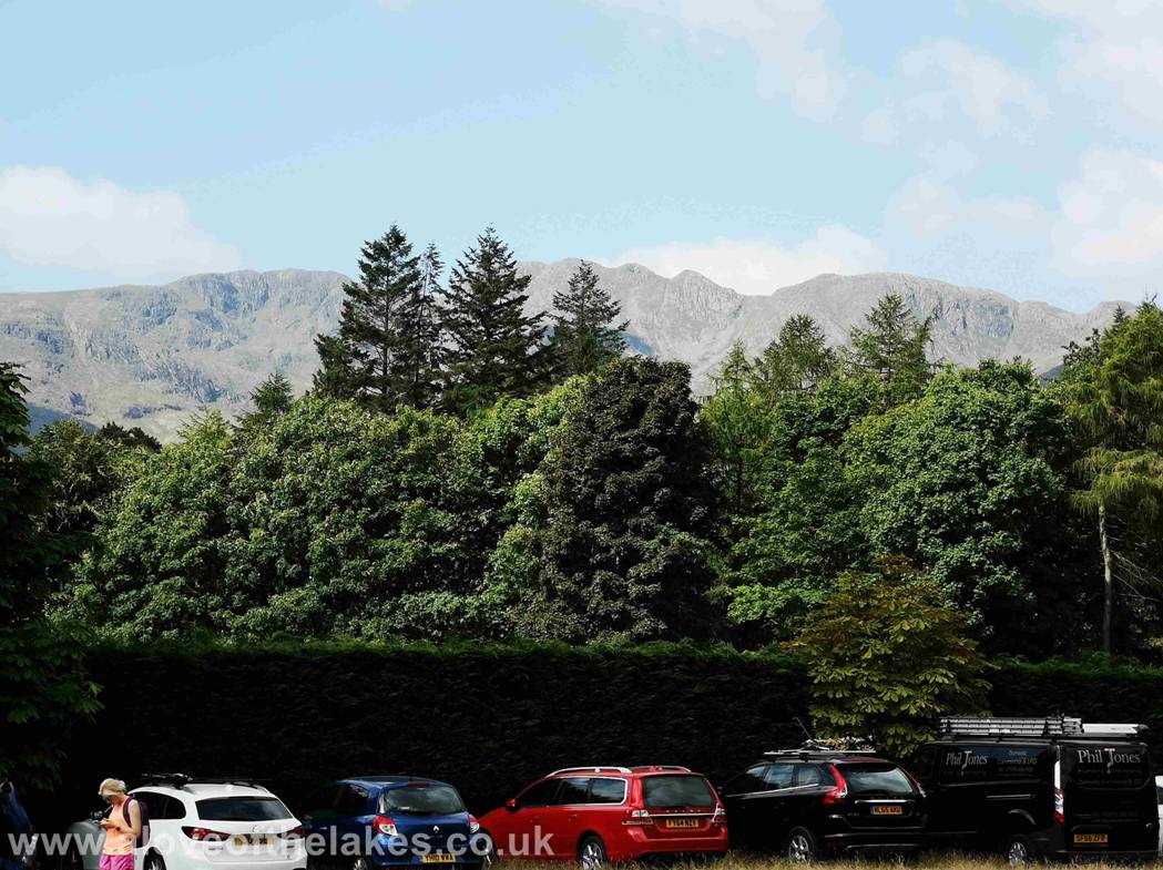
A popular choice for many today – here from the field looking over to
Crinkle Crags
From the field entry gate turn right and head towards the Walkers Bar a
couple of hundred yards down the road
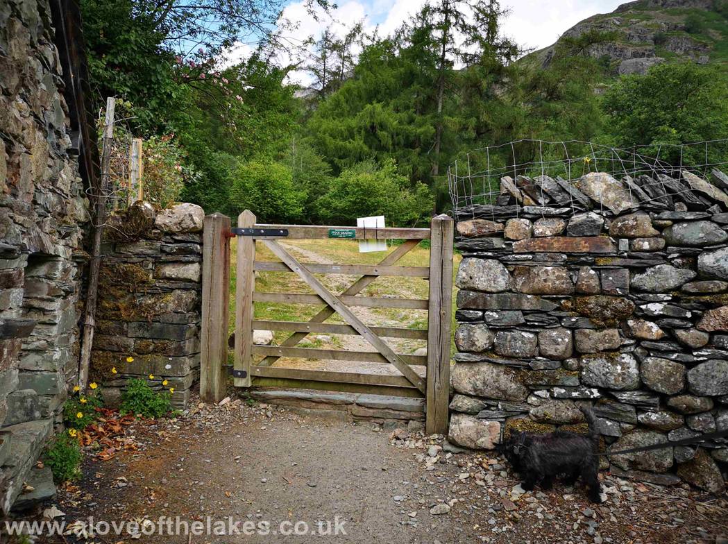
Past the bar area and a wooden gate gives access to a small field
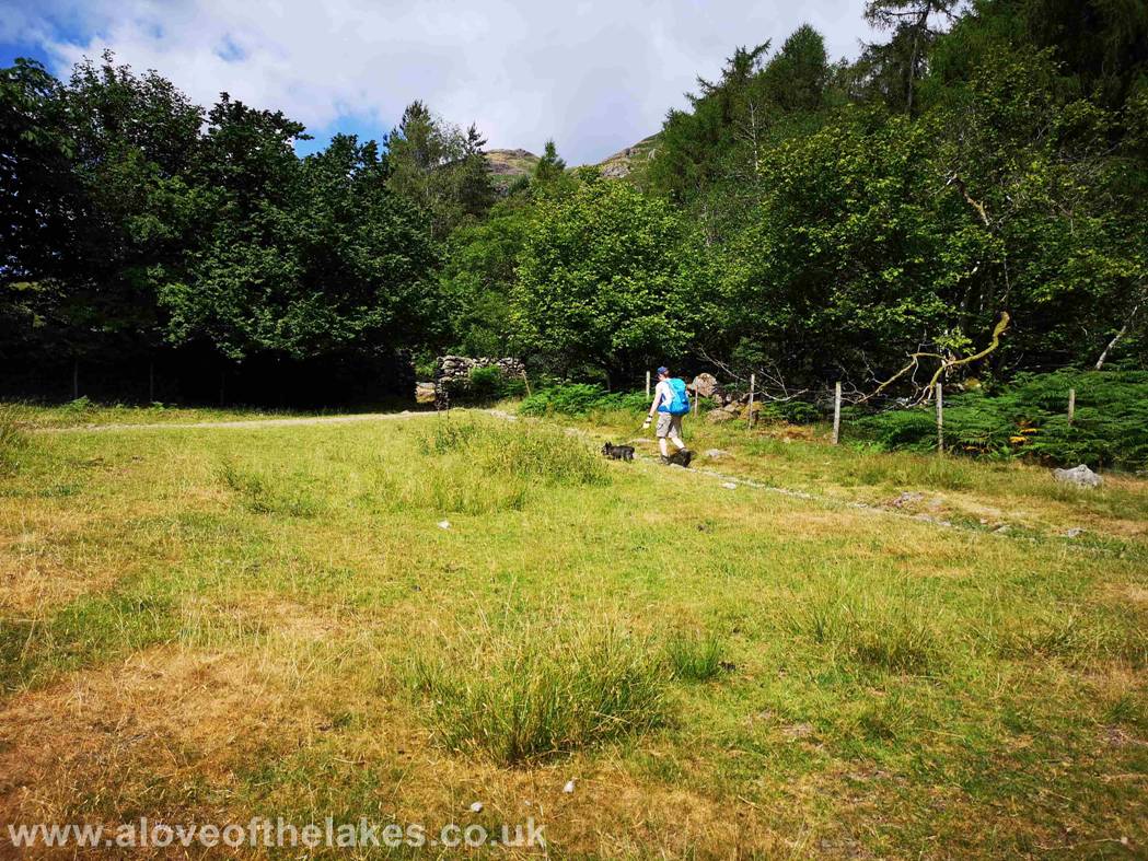
Through the gate and head left to the top corner to pass through a gap
in the wall that brings you on to the start of the Stickle Ghyll
path
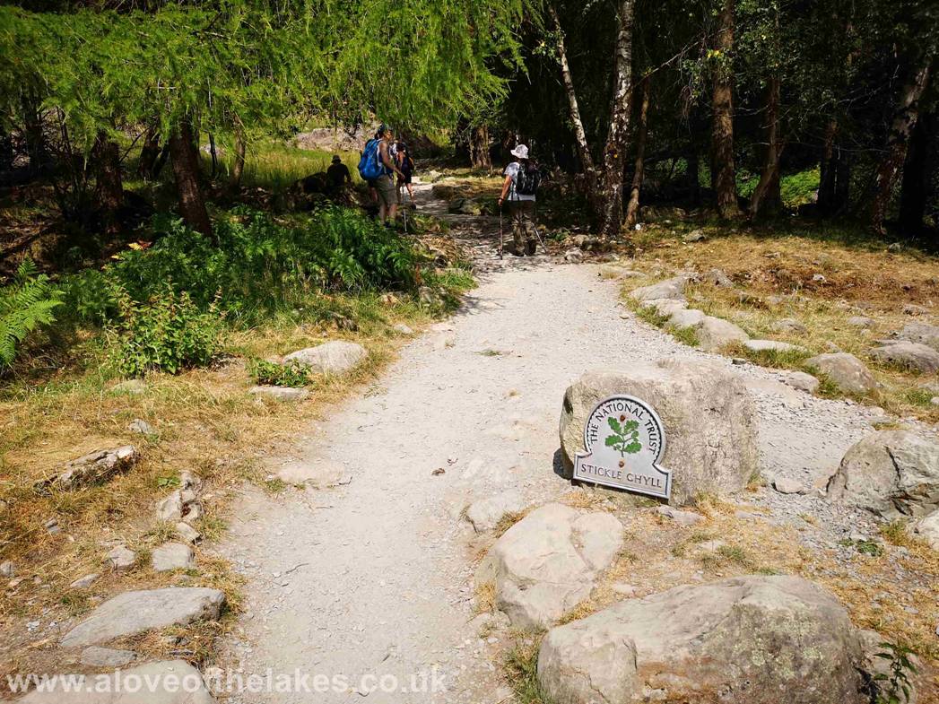
The start of the Stickle Ghyll path
Almost immediately the path starts to climb steeply alongside Stickle Ghyll past Pike Howe on the left
An indication of the drought period the country has seen over the last
few weeks, the Ghyll is empty. The upshot of that was
that the Hotel could
not cook hot food as their kitchens used hydo-electricity generated from the usual torrent of the
flowing water

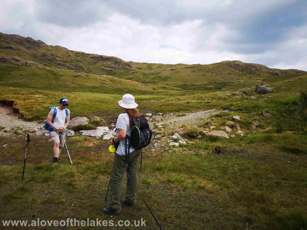
Looking back down the dry Ghyll as Sue pauses
for a water stop
Yes Jones I’m getting your water now !!!
Crag rats on Swine Knott (no thanks !!)
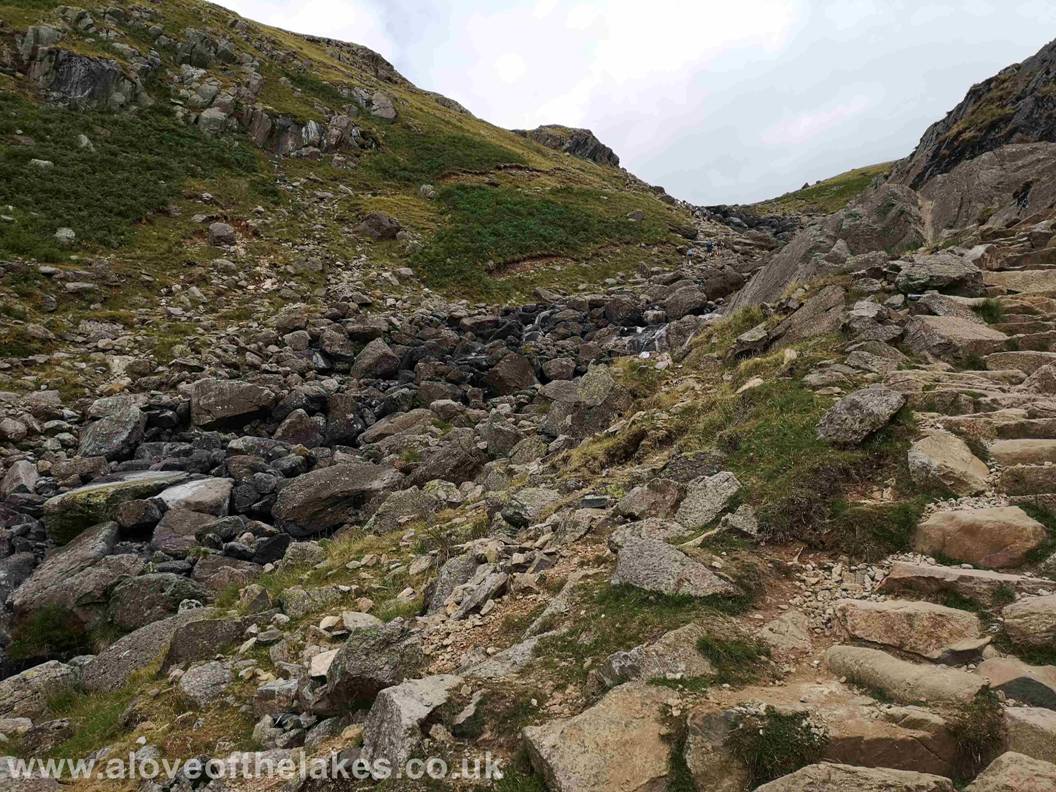
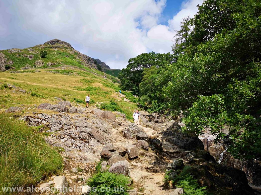
The path though steep is good and easy to follow
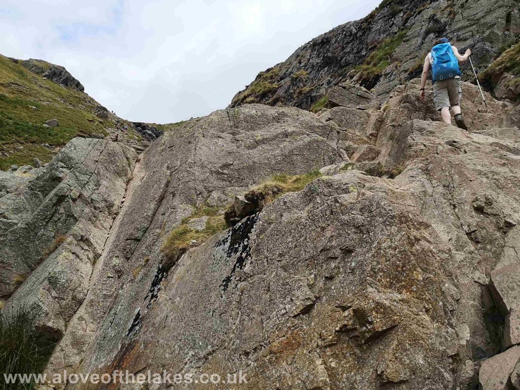
At one point however a huge rock buttress blocks the way a little and a
little rock handling is required to get over it. This point also signifies the
point at which you cross the Ghyll
to the left hand side travelling upwards
Crossing Stickle Ghyll. Under normal conditions
this can prove a bit hazardous when the water is gushing down, however no such
difficulty today
Looking back down the Ghyll towards Side Pike
and Wetherlam in the distance
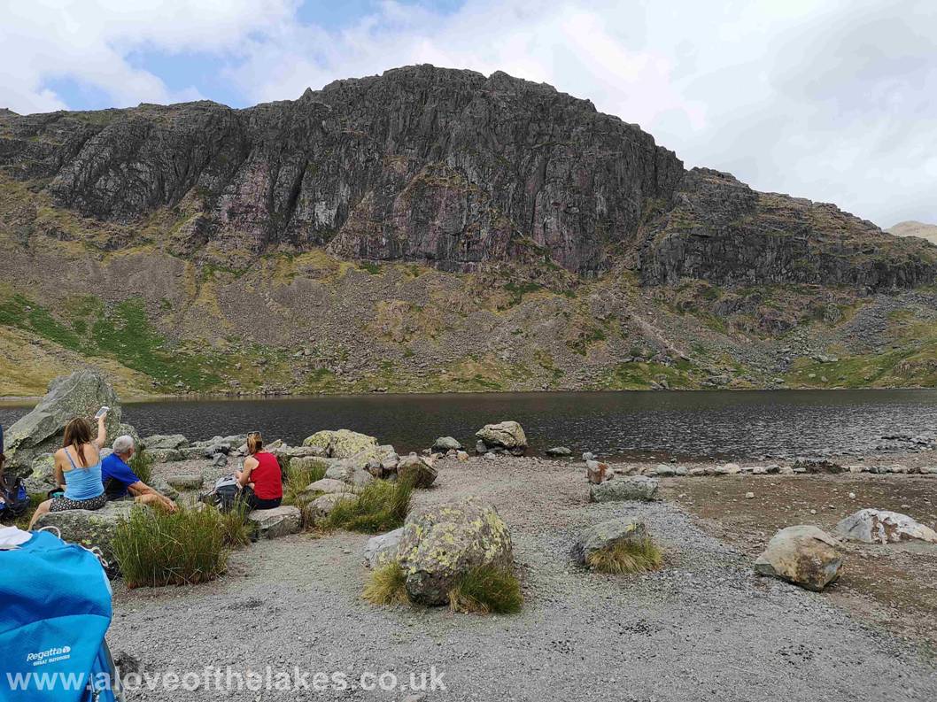
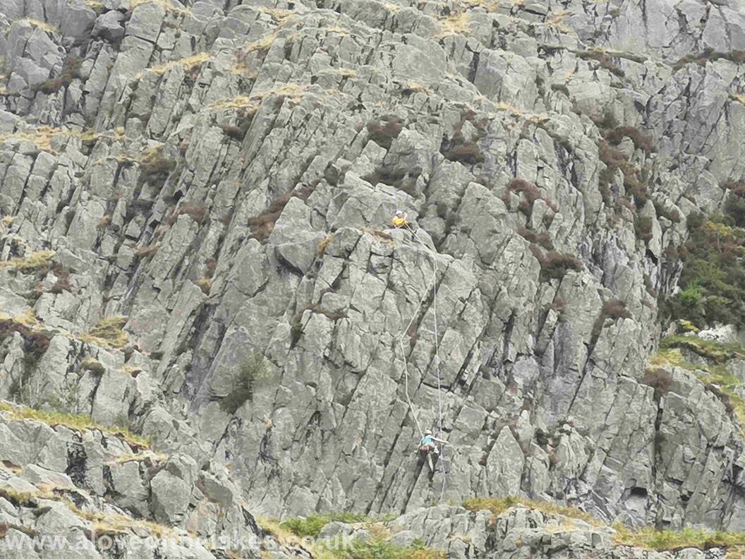
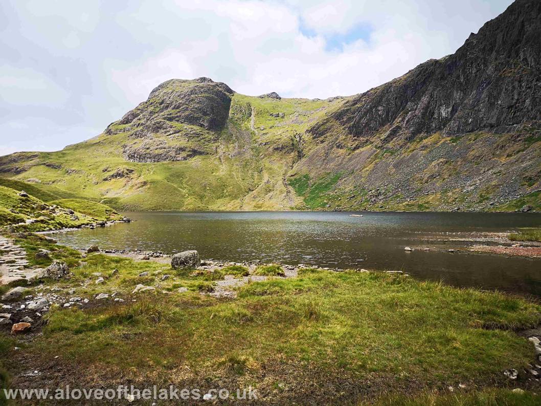
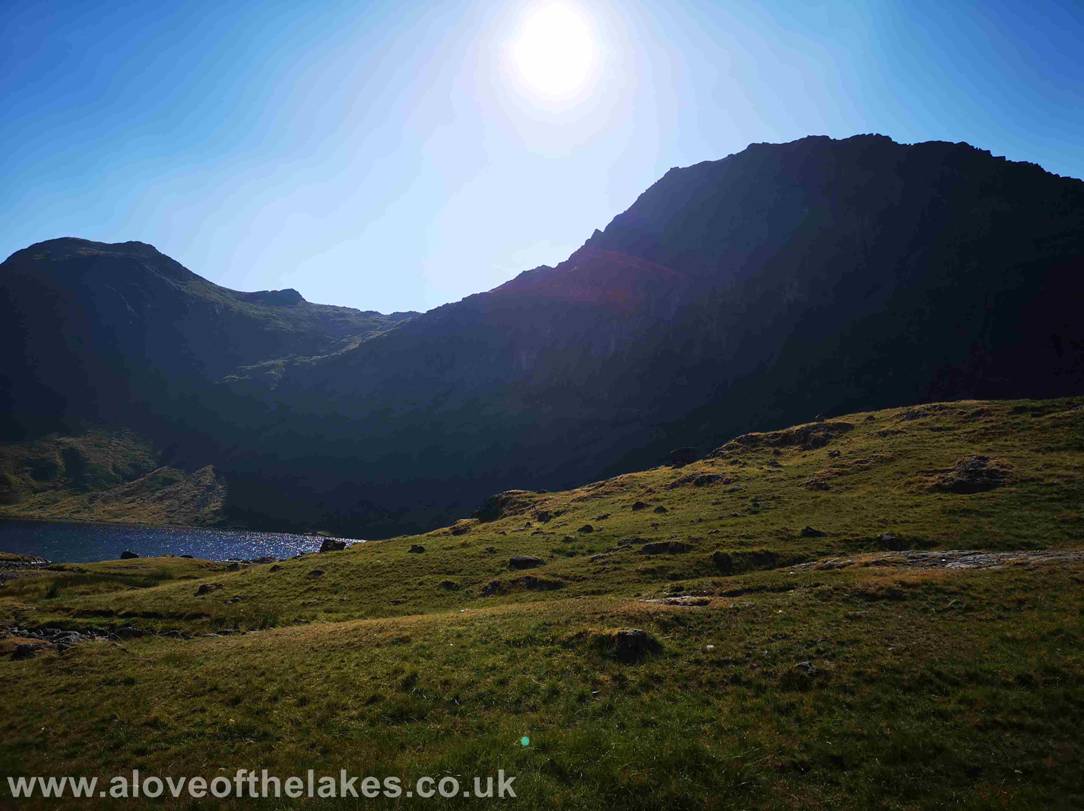
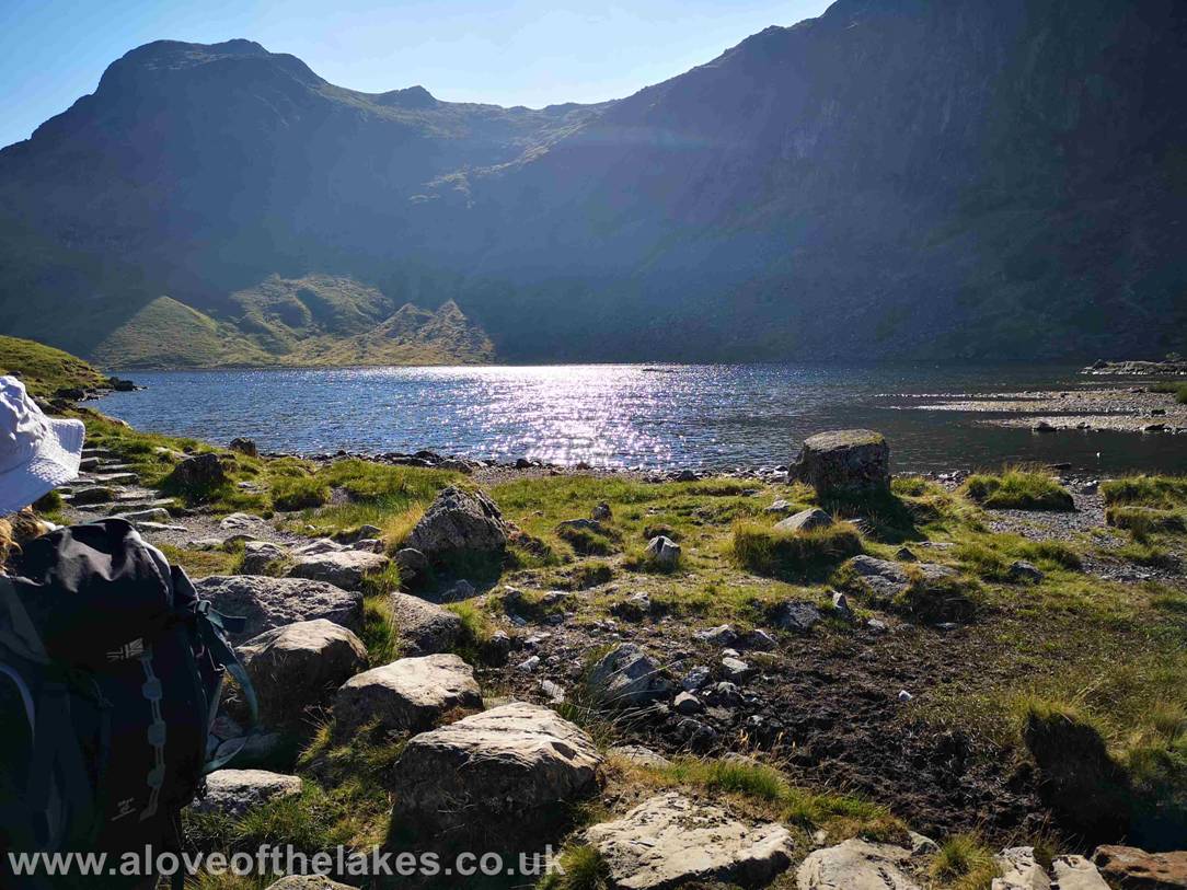
After an arduous toil in the heat – the welcome site of Stickle Tarn in
front of Pavey Arc. Jack`s
Rake can be seen quite clearly cutting a swathe
across the south face. There were a number of climbers
ascending via this route
Looking across Stickle Tarn towards
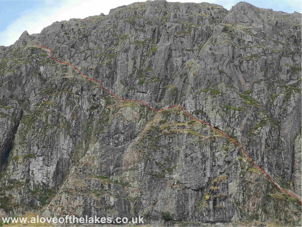
Close up on Pavey Arc with the route of Jacks
Rake indicated. It is officially classified as a rock climb so Fell Walkers
must have confidence
in their ability to attempt it
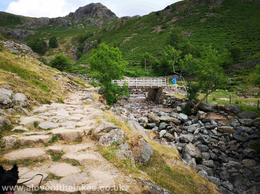
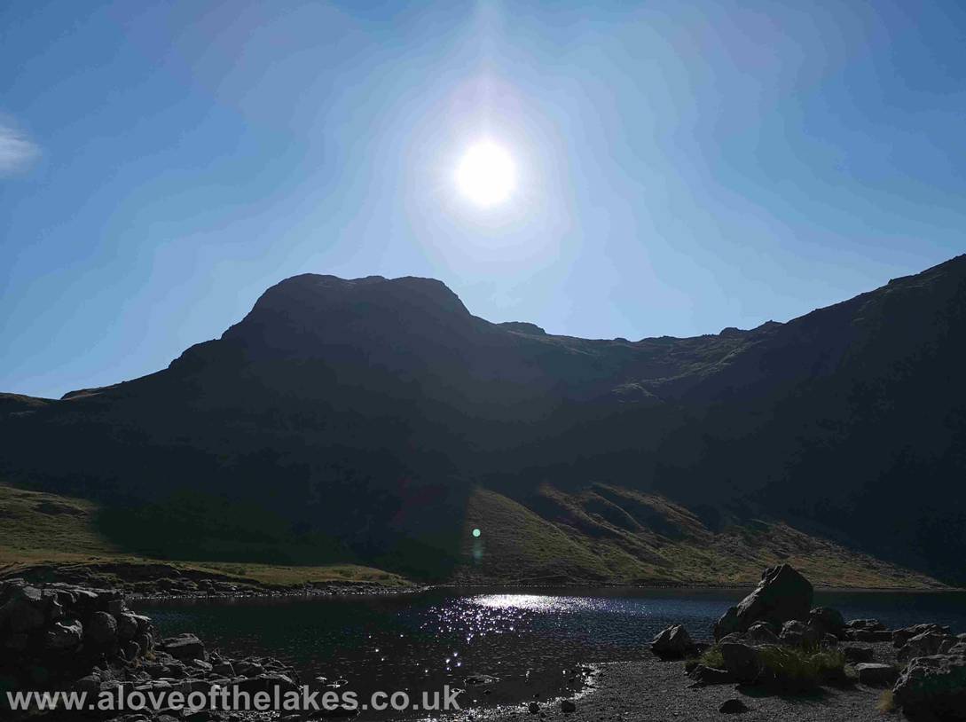
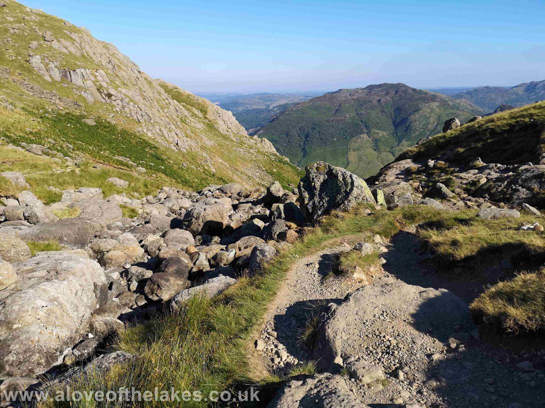
From the wall at the top of the Ghyll and in
front of the
Further down the path at the point at which you follow a track that
leads off to the right more or less parallel with the end of the tarn
The path to Blea Rigg
forks off to the right
Following the path to Blea Rigg
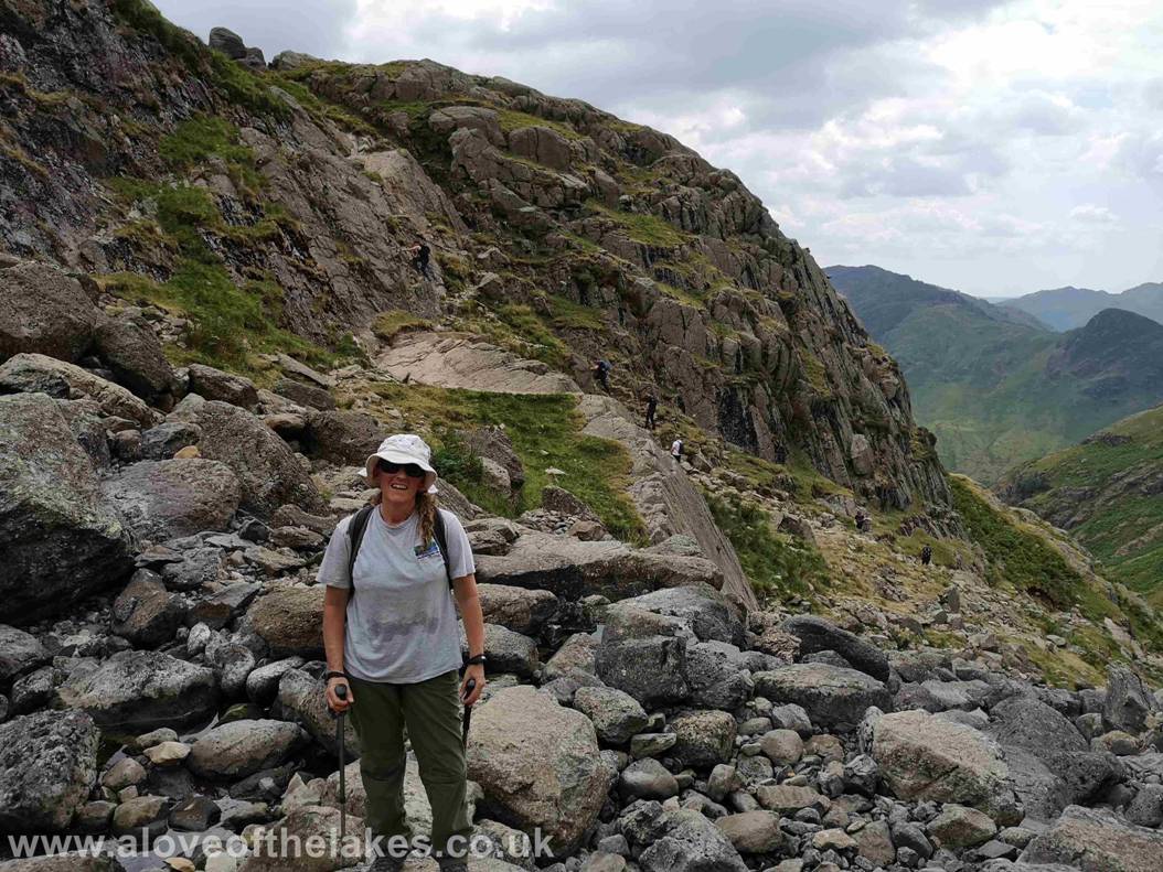
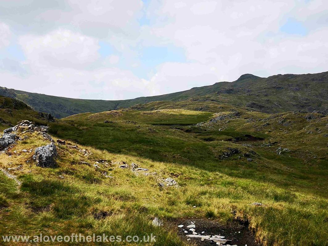
Looking back to Harrison Stickle and Pavey Arc from the path. From this point the foot
path to Blea Rigg is a tad
sketchy in parts but discernable
non the less. Head for the highest of the Rock Tors is my advice
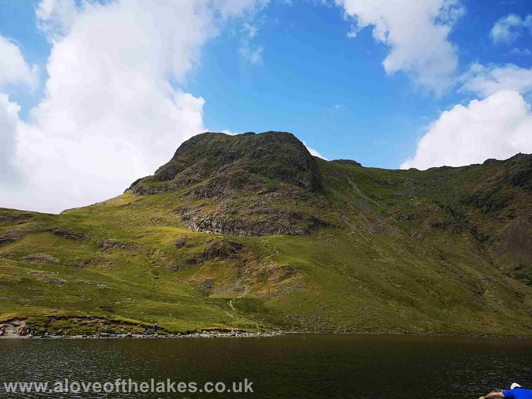
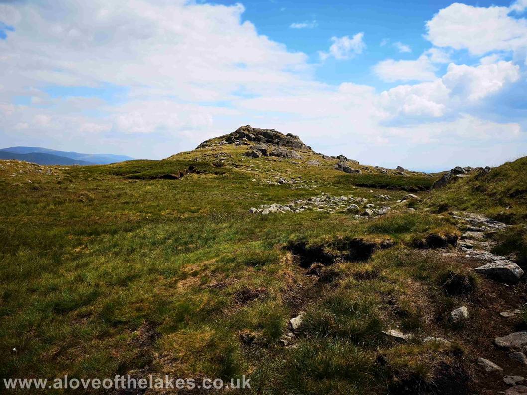
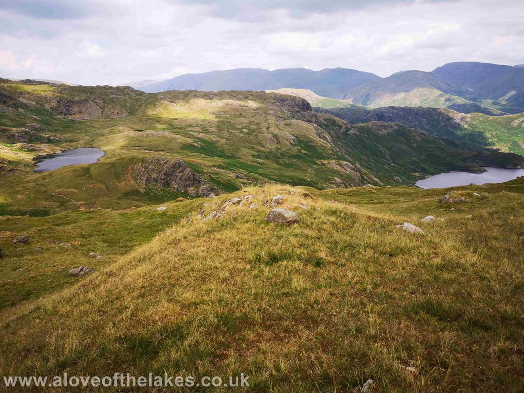
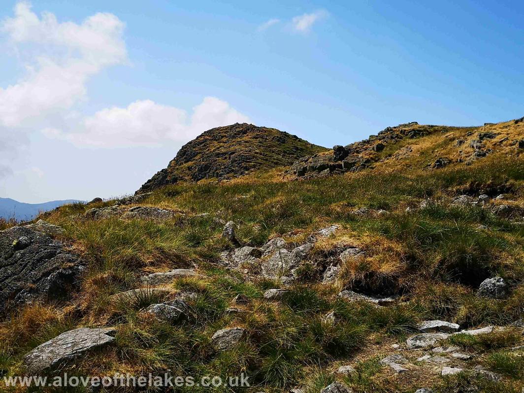
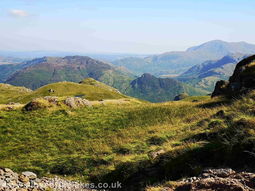
The summit of Blea Rigg,
with Easdale Tarn below
Click here for a 360 degree view from the summit of Blea
Rigg … https://youtu.be/JJwiN1m7Dkw
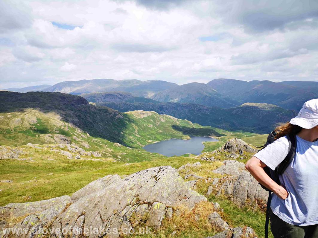
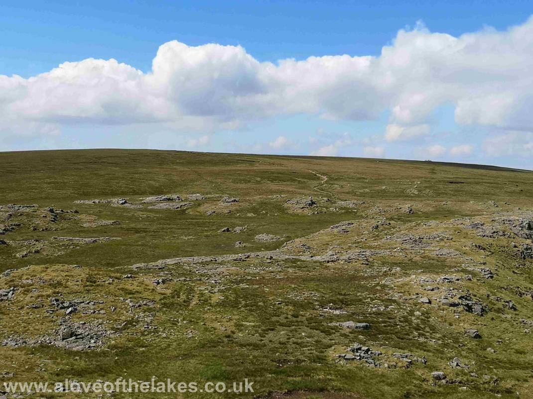
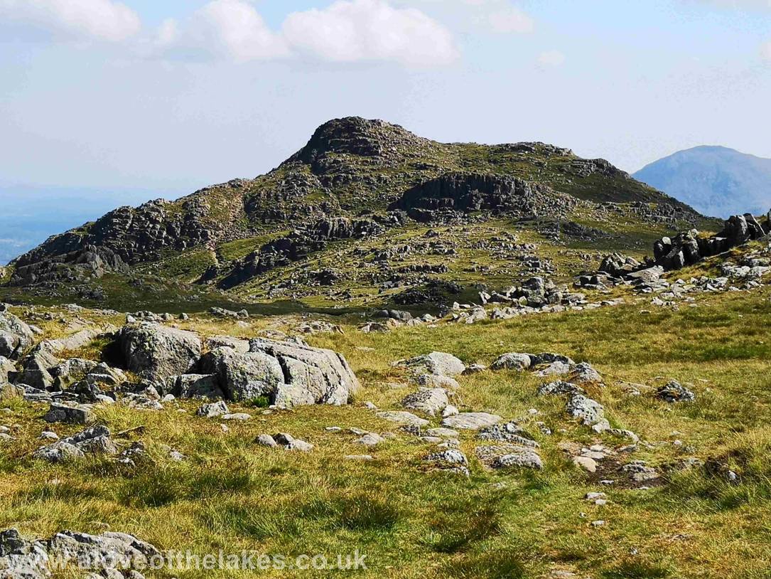
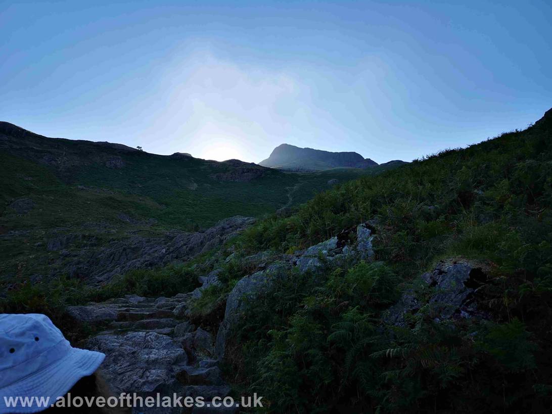
The barely discernable path towards Sergeant Man (the big bump towards
the top right of the picture) – after a confusing start it does improve a
little
Easdale Tarn (right) and Codale Tarn (left) from the path to Sergeant Man

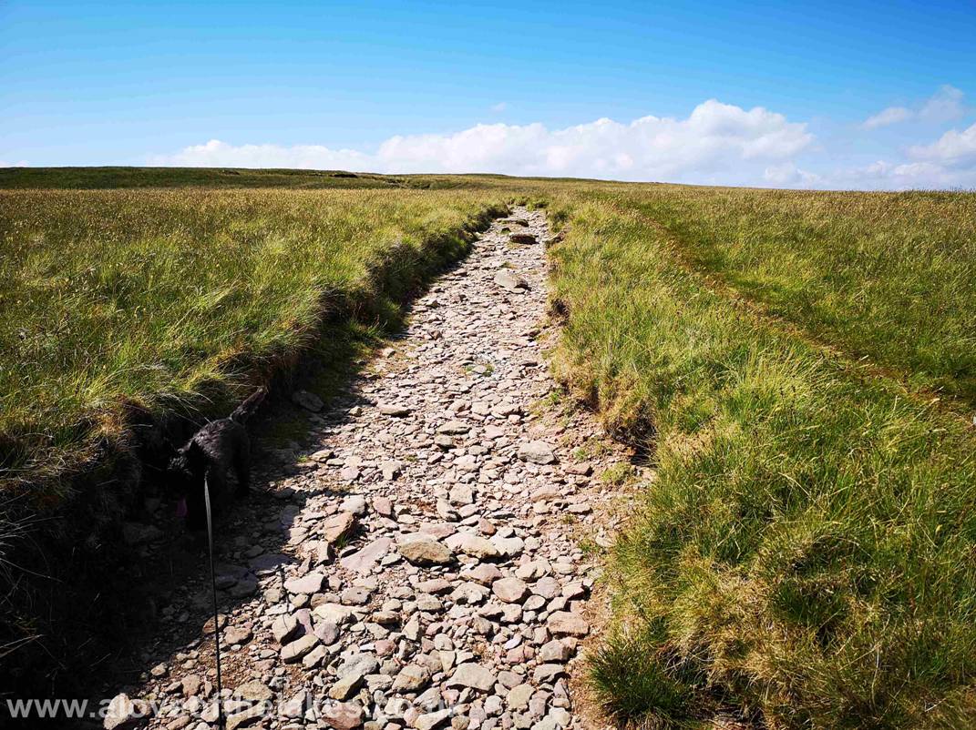
The path (now cairned) journeys through “Pile of Stones” on its way to
Sergeant Man right in the top centre of the shot
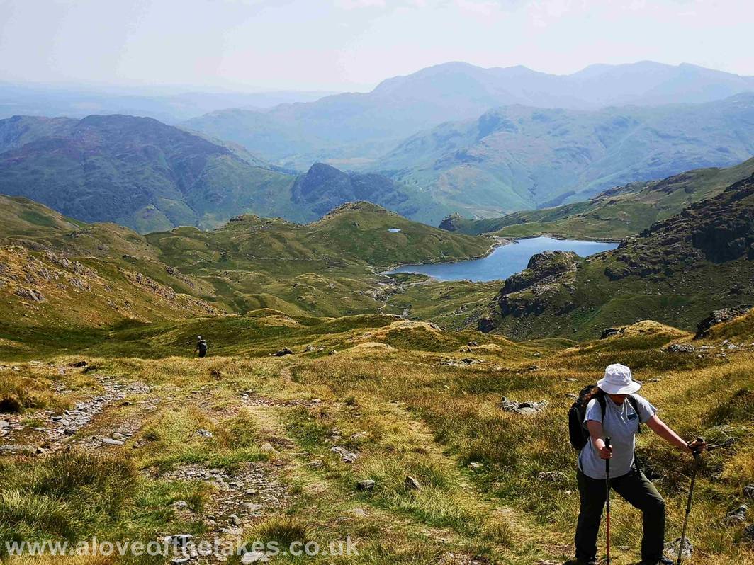
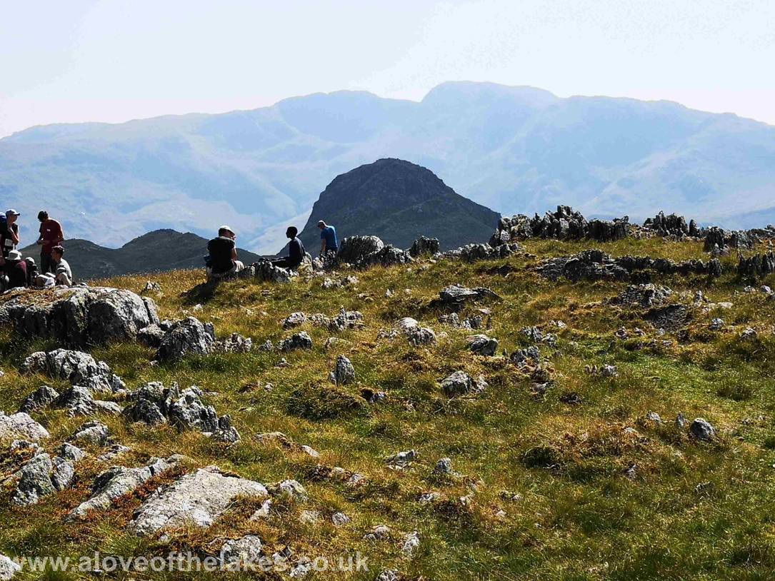
Hard miles in this heat, looking back towards Stickle Tarn
Approaching the summit – it’s a lot easier than it looks actually …
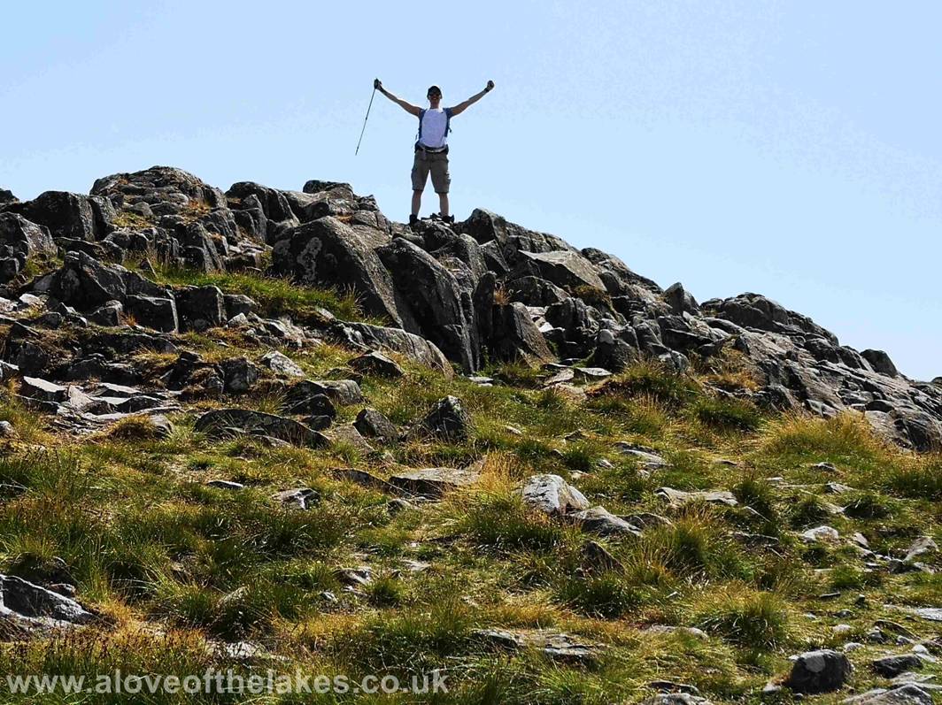
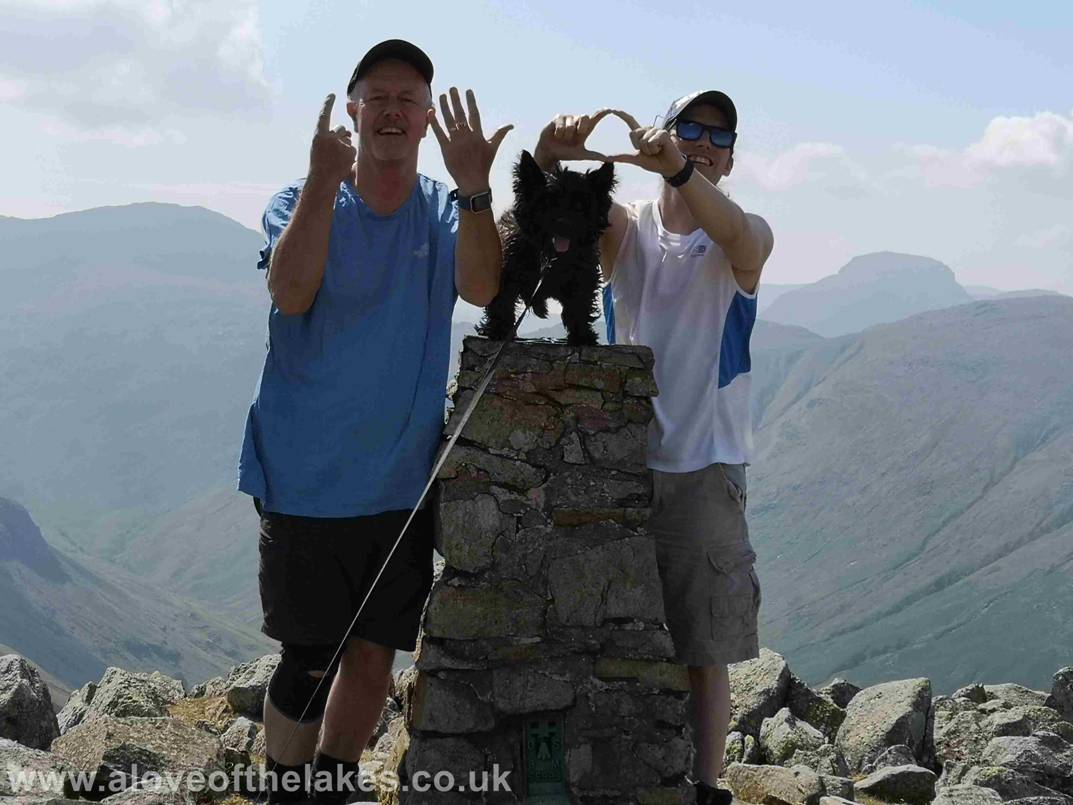
Ste on the summit of Sergeant Man
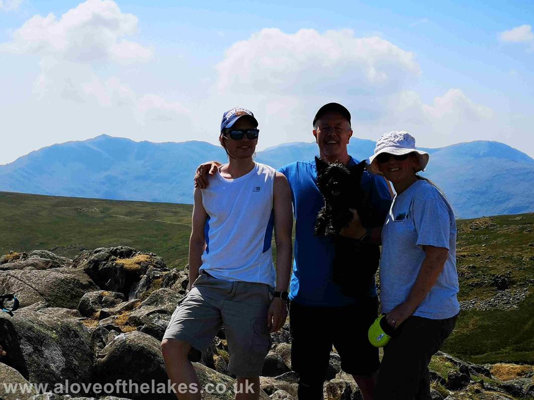
Team shot on the summit of Sergeant Man - click here for a 360 degree
view … https://youtu.be/WpyVsdv1uBw
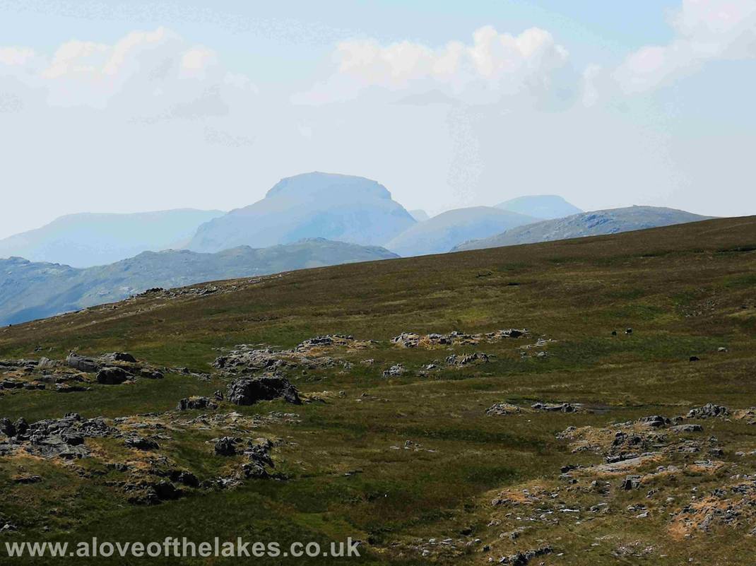
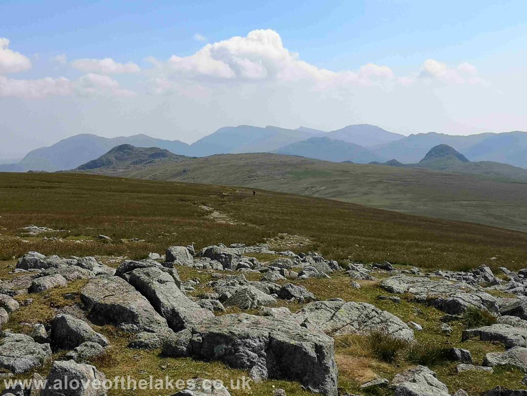
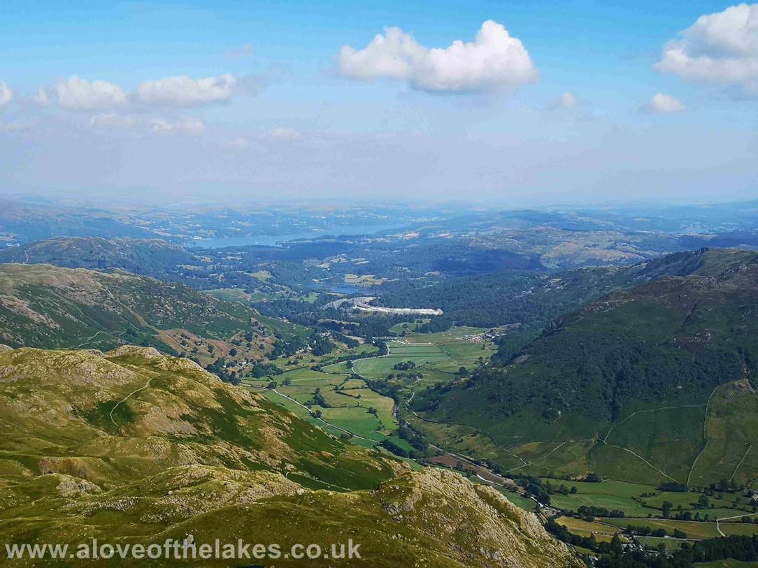
Looking through the heat haze over to Great Gable
The clear path North to High Raise just over half a mile away
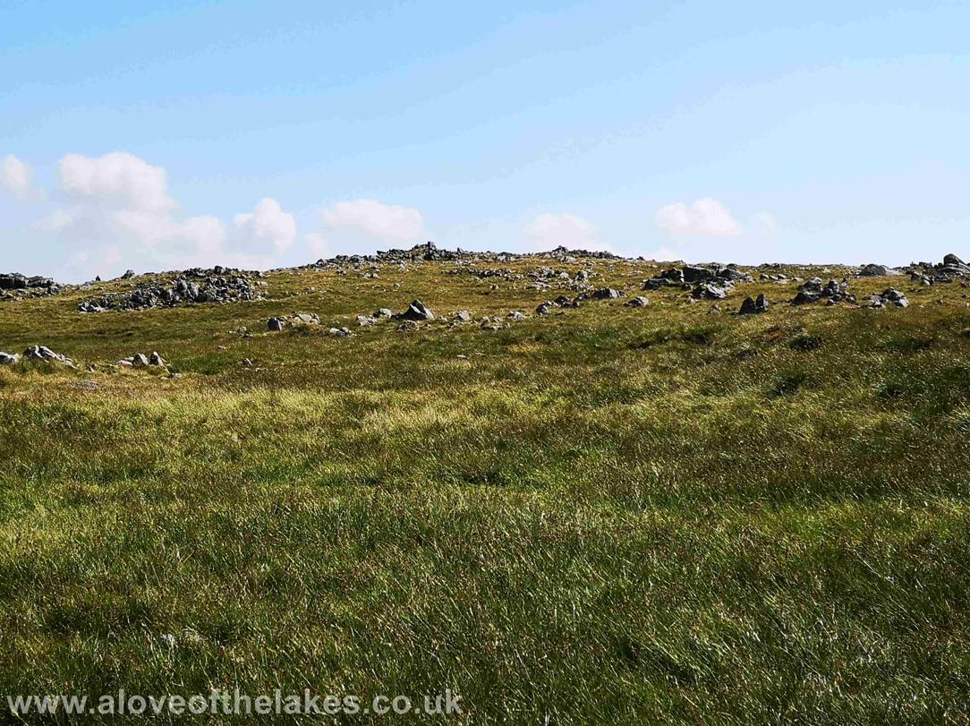
The path is extremely easy to follow …
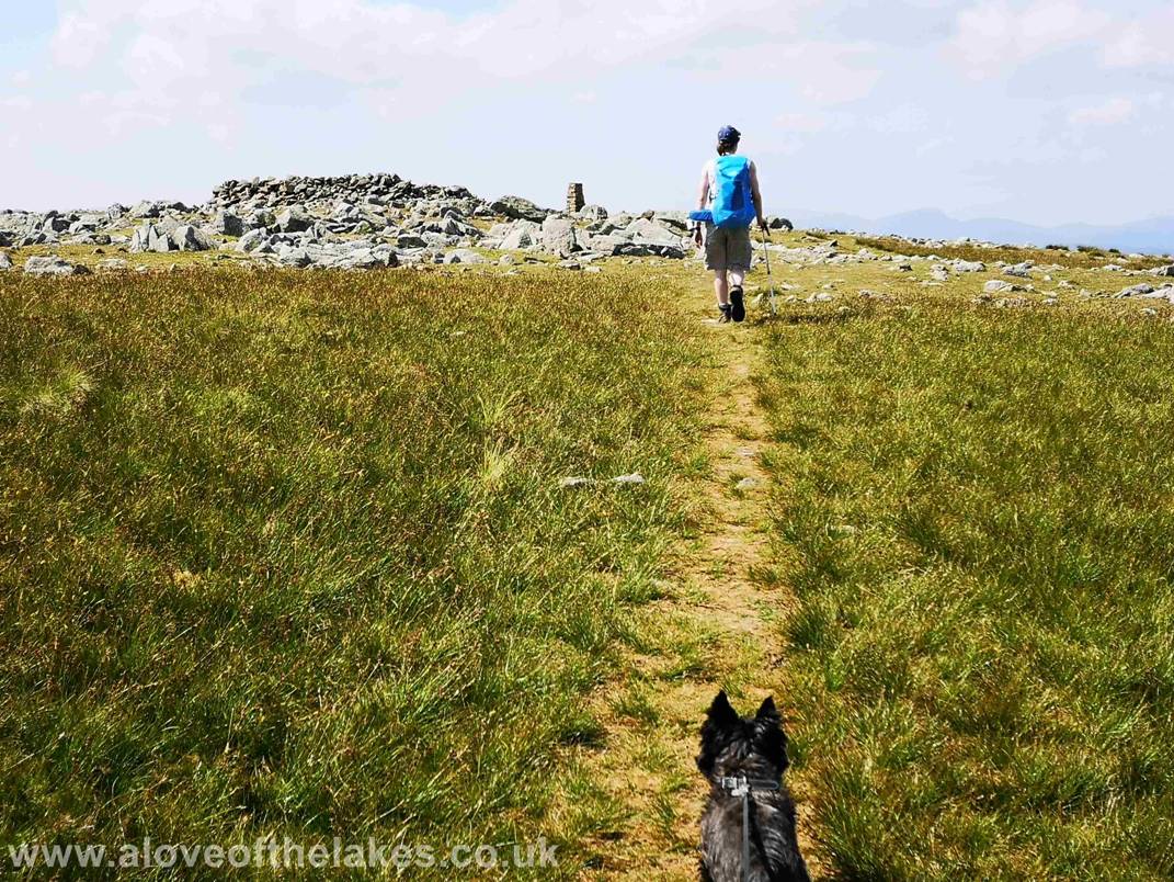
Approaching the summit of High Raise
Looking North towards Skiddaw from High Raise
– click here for a 360 degree view from the summit https://youtu.be/J-MnSHKjk7s
A personal milestone for me … 150 Wainwright summits bagged … another 64
to go !!!!
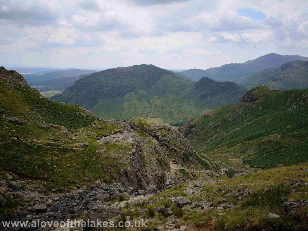
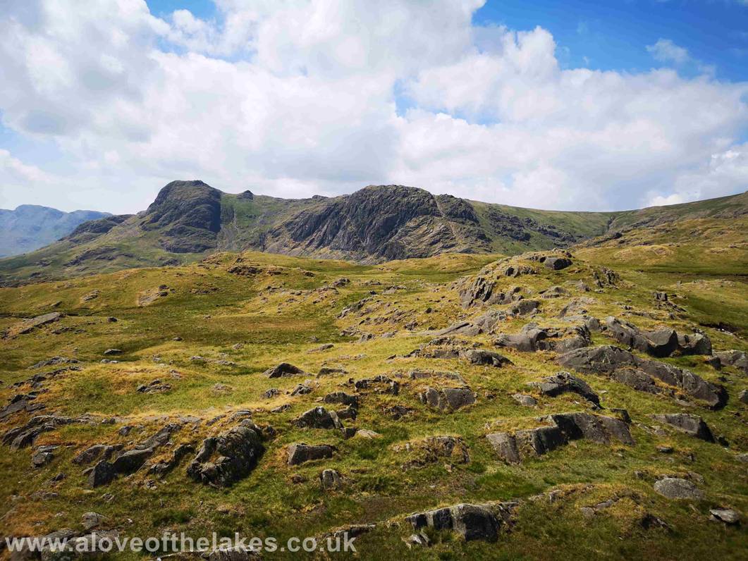
From the summit of High Raise we turn left and head back due west
towards the Langdale Pikes seen here … Harrison
Stickle (left) Pike o Stickle (right)
We journey along the path for around a mile as it climbs very gradually
towards the summit of Thunacar Knott
Pike o Stickle from the summit of Thunacar
Knott – click here for a 360 degree view from the summit … https://youtu.be/aP-DkVLOOds
Harrison Stickle from the summit of Thunacar
Knott
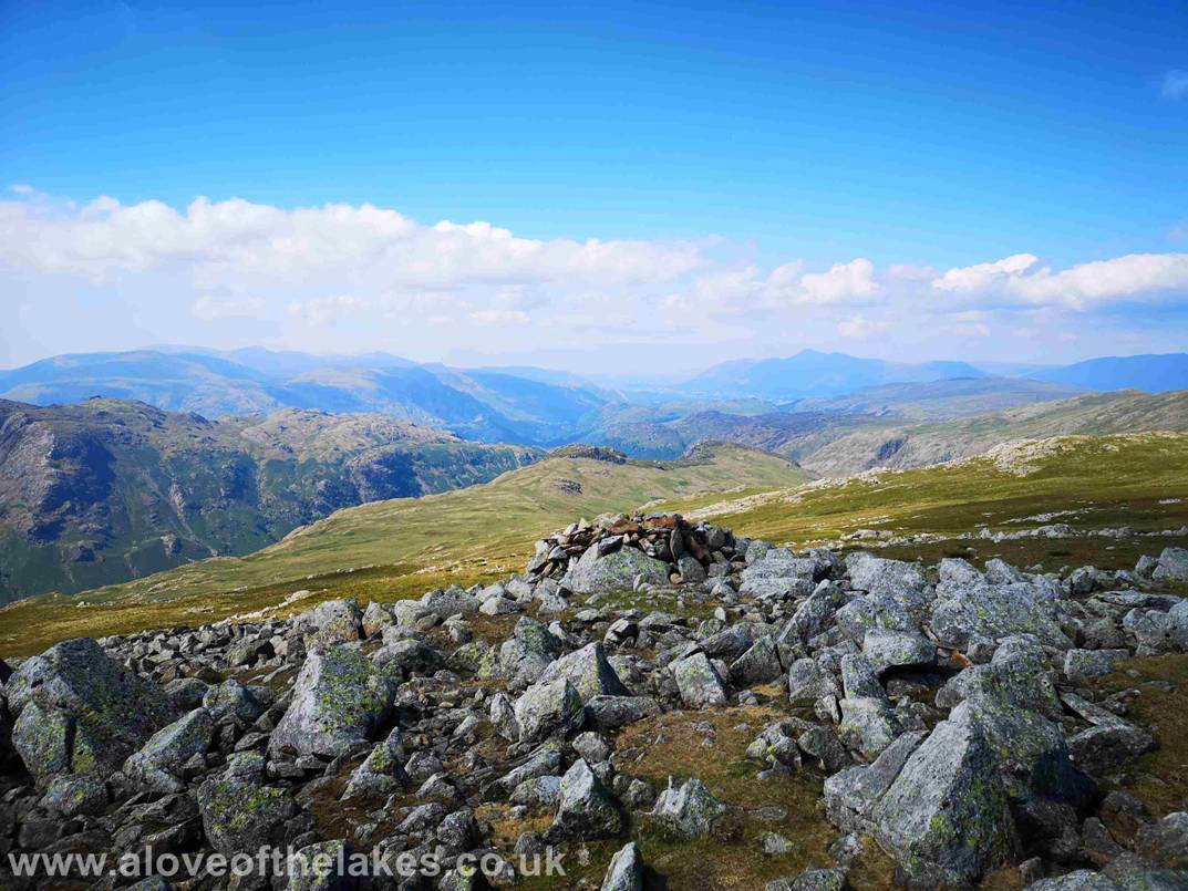
From the summit of Thunacar Knott we turn left
travelling south east to travel less that half a mile to visit the summit of Pavey Arc – here looking out
down the Langdale valley –
click here for a 360 degree view from the summit of Pave Arc … https://youtu.be/u9ZA83l5ZHs
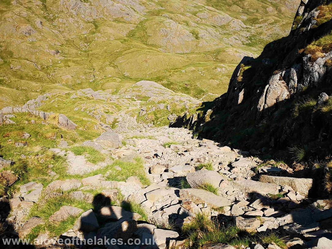
We descend back to Stickle Tarn via the North Rake of Pavey Arc. Its very steep and bouldery so care is required. Some rock handling required
in parts
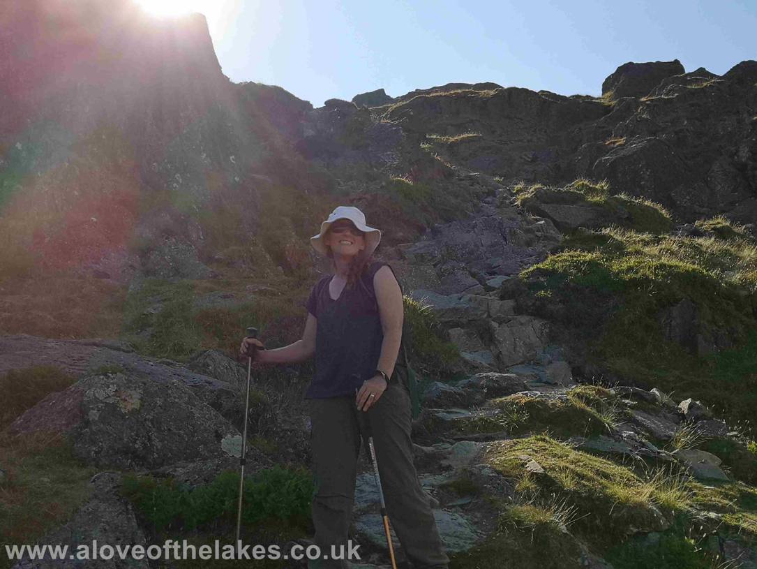
Sue happy to have got down the North Rake in one piece
!!!
Once off the Rake its mostly grass and stony
path back down to Stickle Tarn
The re-entrant path back to Stickle Tarn – still a blazing hot sun beating
down
Back on the path to the head of Stickle Ghyll
A last look back before we start the descent of Stickle Ghyll
Down we go
Almost back at Dungeon Ghyll
now and a final look back to Harrison Stickle. Yet another fantastic day out
on the Lakeland Fells
Copyright © aloveofthelakes.co.uk
2011 - 2018