Walk : Birkhouse Moor
(2,350 ft) & Catstye Cam (2,917 ft) from Patterdale
Date : 25th May
2019
Weather : Overcast,
low cloud and constant rain @ 16°C light to strong breeze on tops
Distance : 10 miles round trip
Time
Taken : 1 hour 90 mins to
first summit (Birkhouse Moor)
Which
part of Lakeland is this walk situated
Terrain
Overview
Overview
The late May 2019 Bank Holiday weather forecast was
not great. The predicted best day was the Saturday with steady rain expected
toward the latter part of the
day, which
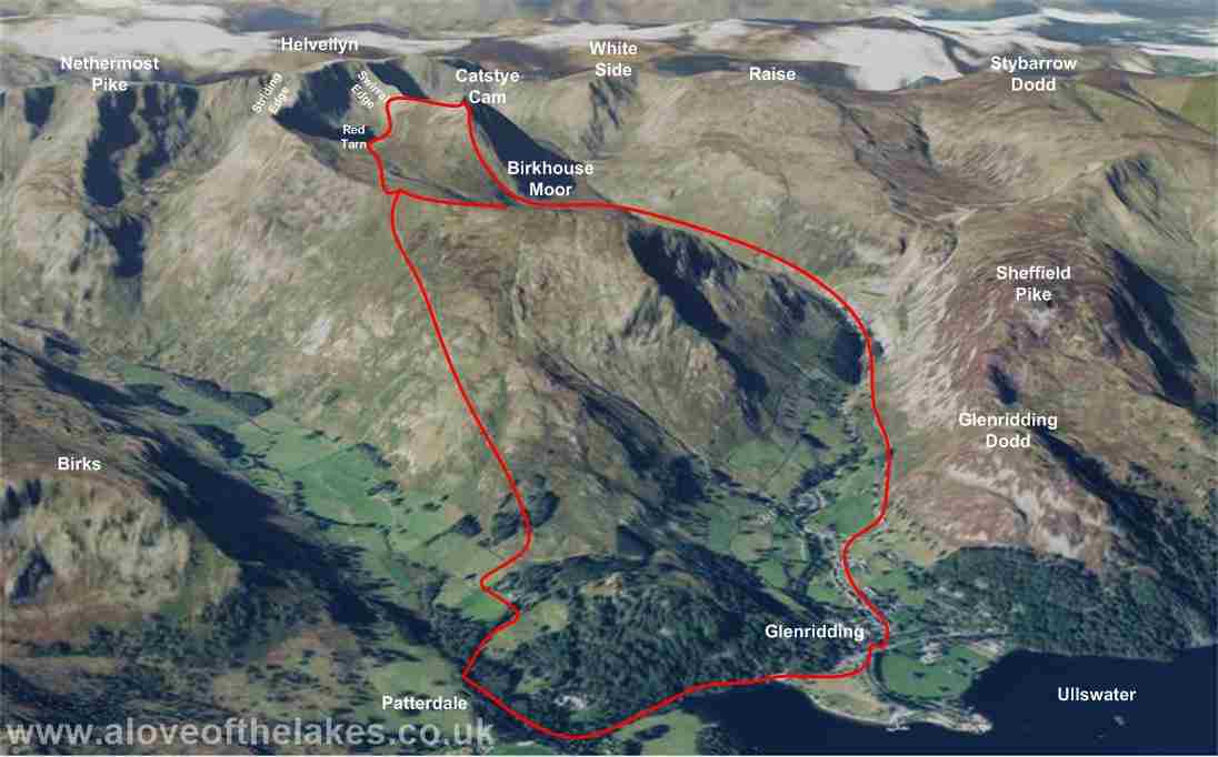
unfortunately for the throngs of people on these popular group of Fells came a
little too early around noon. The path we chose to gain the initial height
up to The Hole in
the Wall and Red Tarn was via the East shoulder of Birkhouse
Moor from the car park at Patterdale Hall just off
the A592, which in my opinion
offers the least steep
and most unerringly direct path to get to where all the drama unfolds
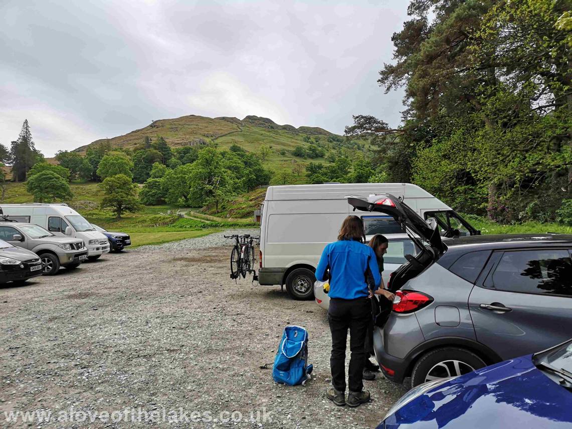
From the A591 heading towards Ambleside from
Windermere take the A592 road (Kirkstone pass)
towards Patterdale. In the village take a left turn
down at
Patterdale Hall and within
200 yards turn left into a field that offers plenty of car parking space for
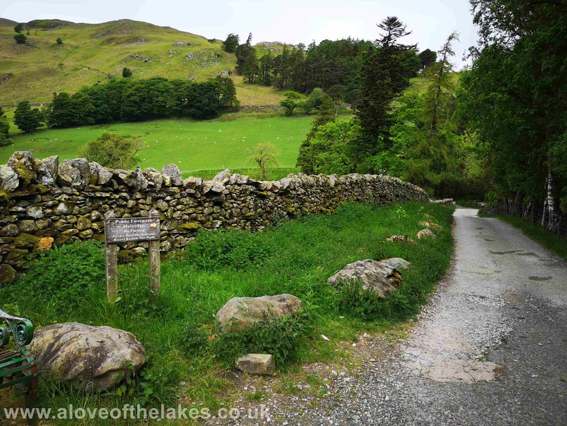
the charge of £3 in an honesty box
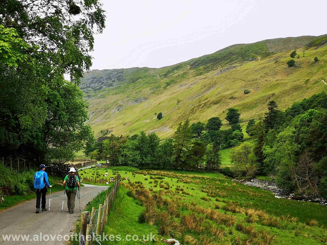
Turn left out of the car park and follow the track
that leads to the bridge that crosses Grisedale Beck.
The path you can see cutting a diagonal swathe across the
flank of Birkhouse Moor is the route that we will follow to get up
to The Hole in the Wall
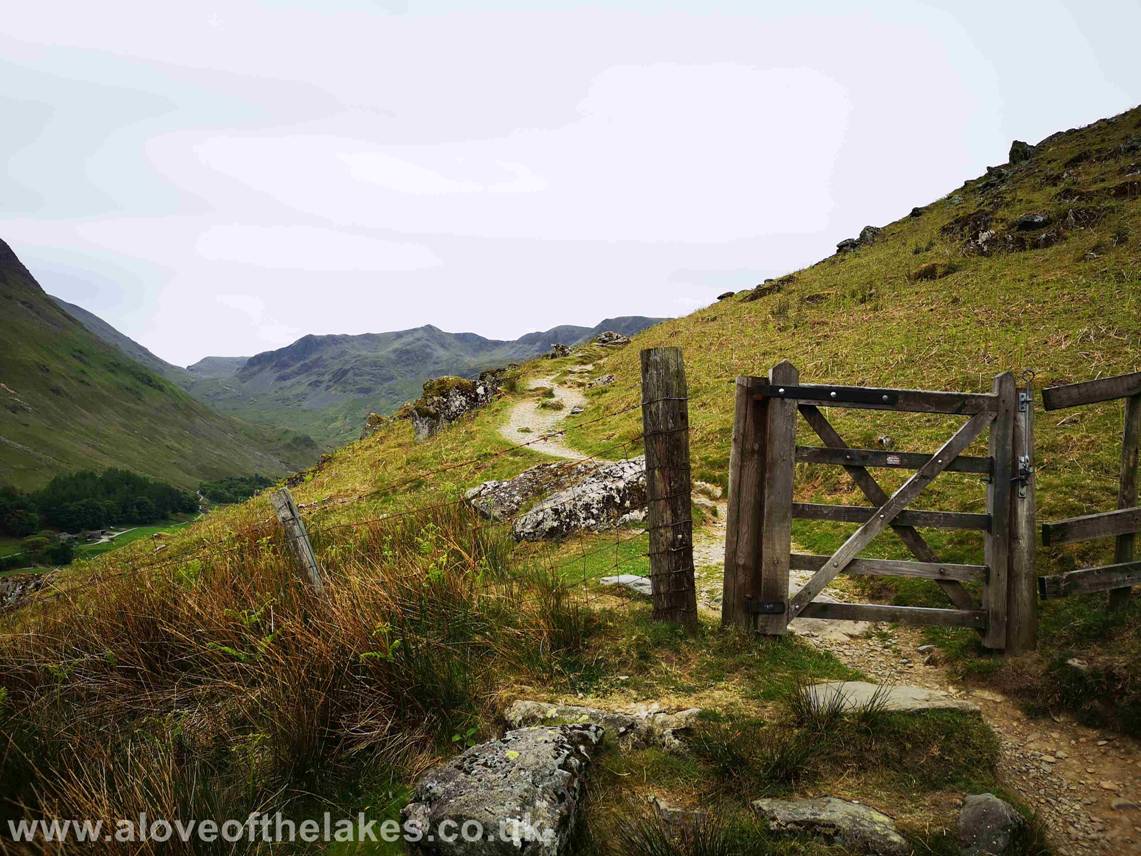
Follow the path until the gate to private farm land
bars the way and turn right following the sign post
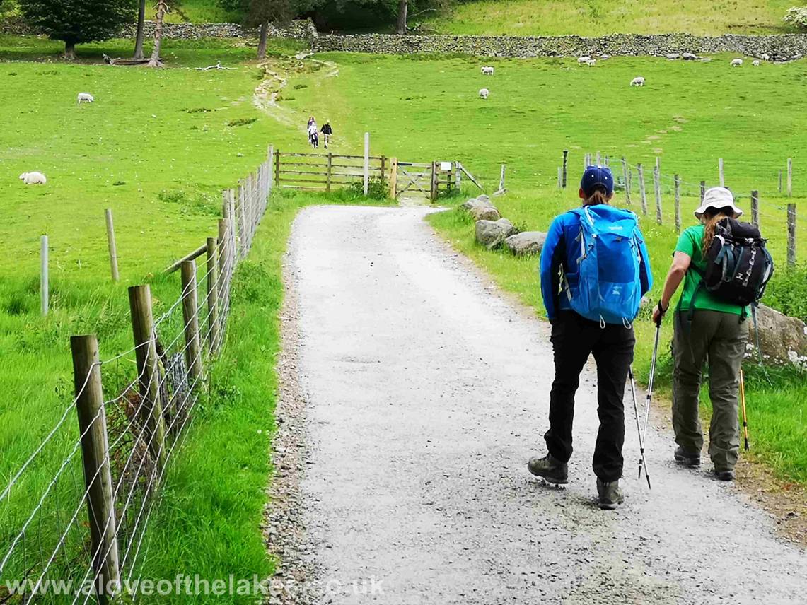
Having crossed the bridge over Grizedale
Beck follow the path to a hand gate that leads across open public farm land
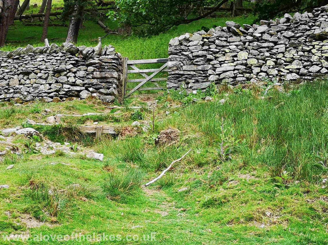
Across the field and another hand gate gives access to
the open fell side and the track up to the Hole in the Wall
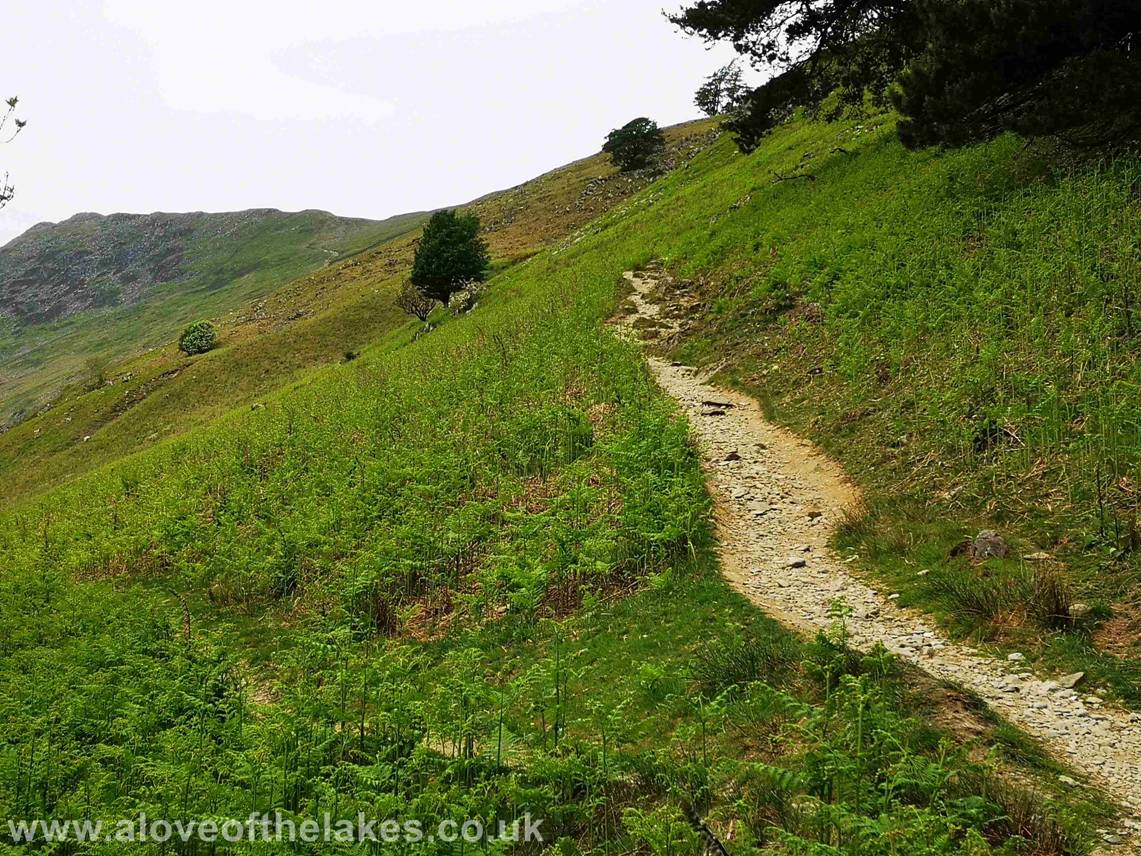
Through the gate and turn immediately left and begin
the steady climb up the track. No navigational issues here
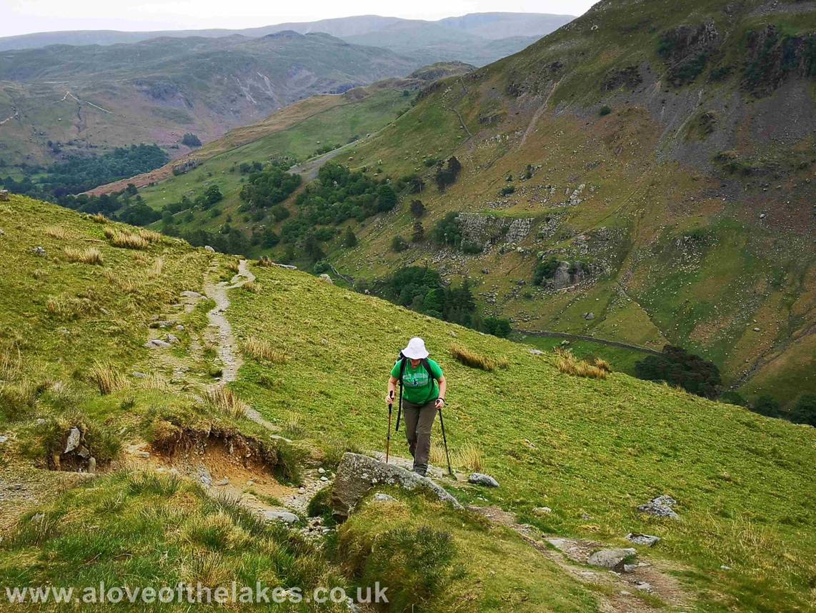
Roughly half way up and a series of hand gates lead on
to some slightly more rockier ground
Looking back from the track and the steep sided buttress
of Birks dropping back down towards Patterdale
Looking up the
The well crafted tracks leading up to the
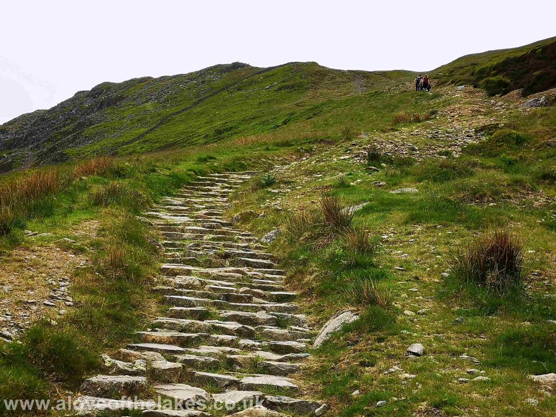
Nearing the Hole in the Wall and the steepest part of
the track which has been stepped so as to assist the climb and prevent erosion
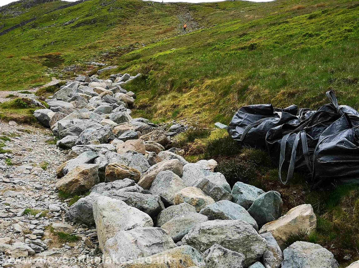
The piles of heavy rock that get brought in by
helicopter to assist the Fix the Fells
Team
Looking back to the steep shoulder of Birks
overlooking Ullswater
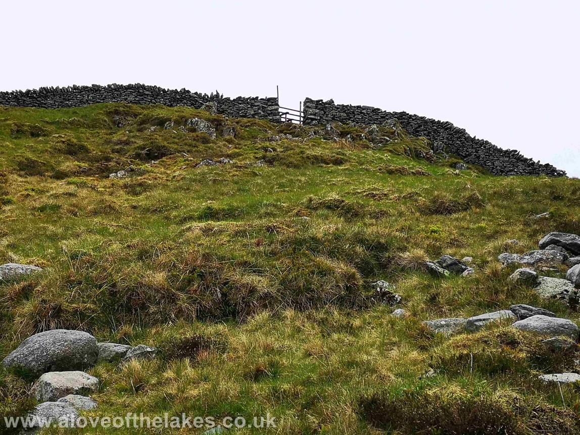
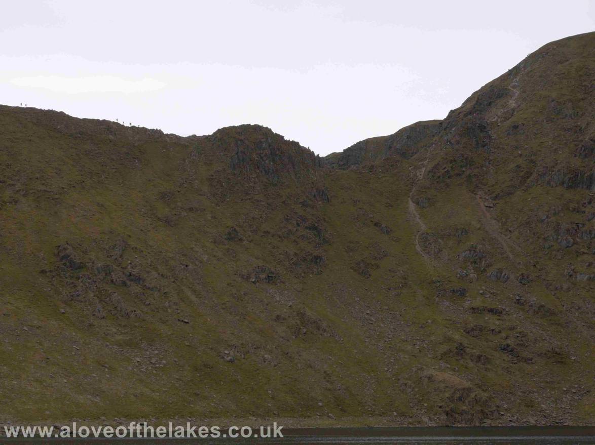
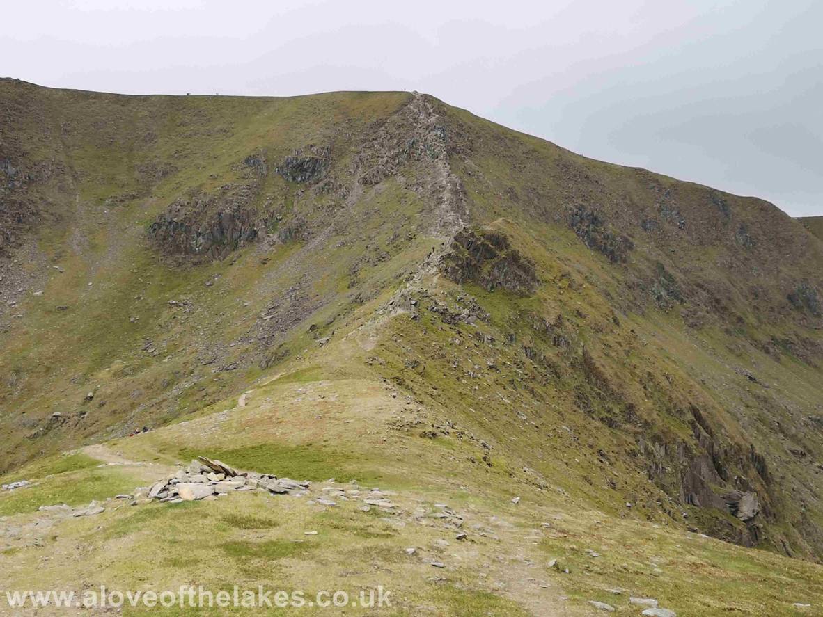
At last the welcome sight of The Hole in the Wall
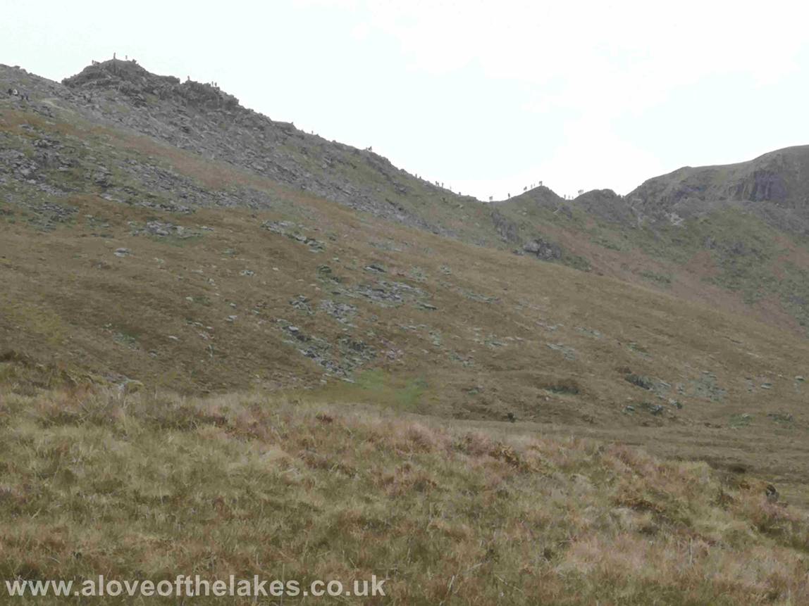
An early view of Striding Edge covered in human ants !!
Through the Hole in the Wall and initially we take a
right turn to follow the level track for about half a mile that leads up to the
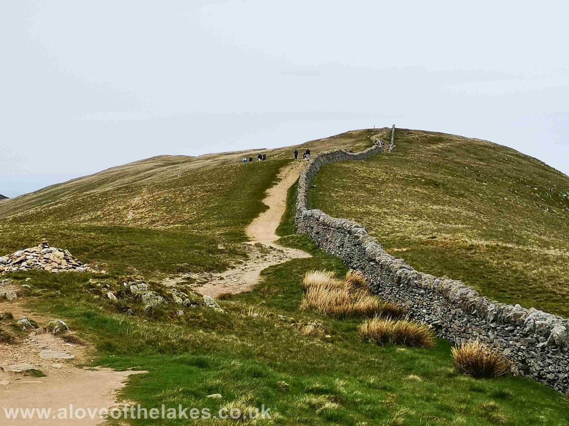
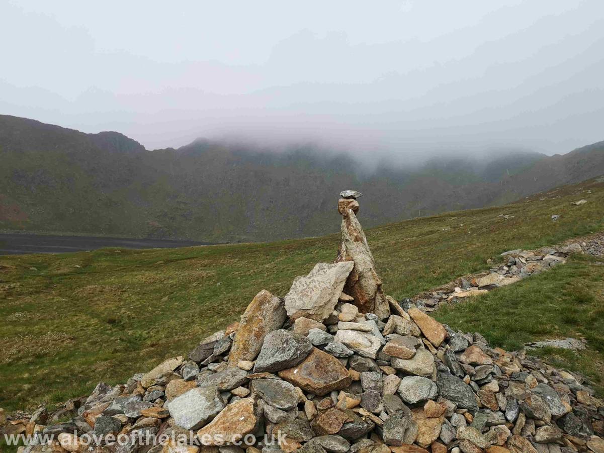
summit of Birkhouse Moor
Approaching the summit cairn of Birkhouse
Moor

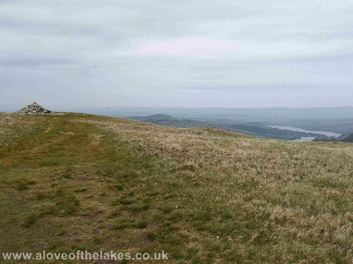
Ullswater snaking its way
North towards
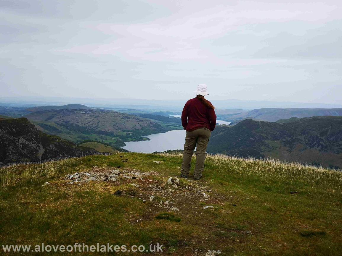
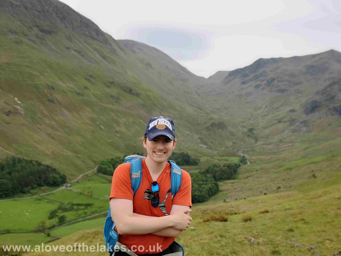
Sue taking in the views from the summit
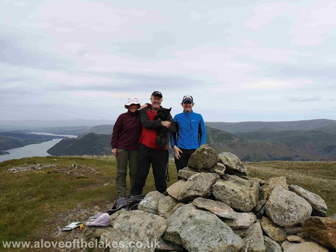
Team shot on the summit of Birkhouse
Moor
Click here for a 360 degree view from the summit … https://youtu.be/WwbyoxFXyyM
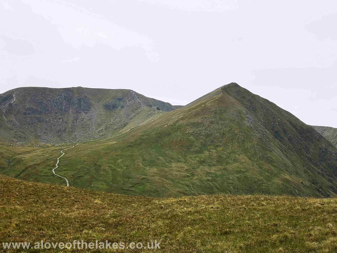
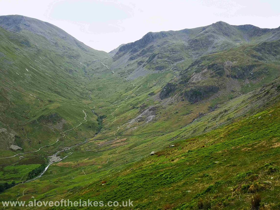
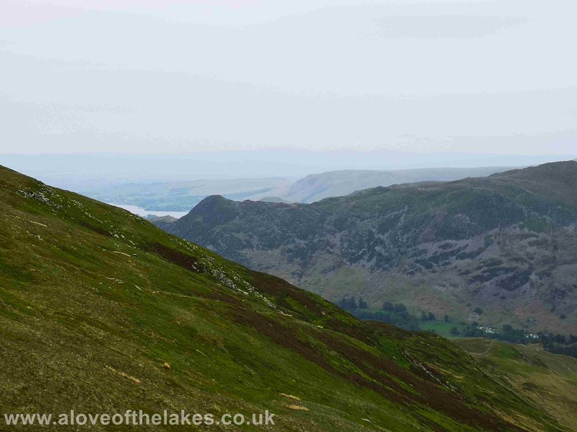
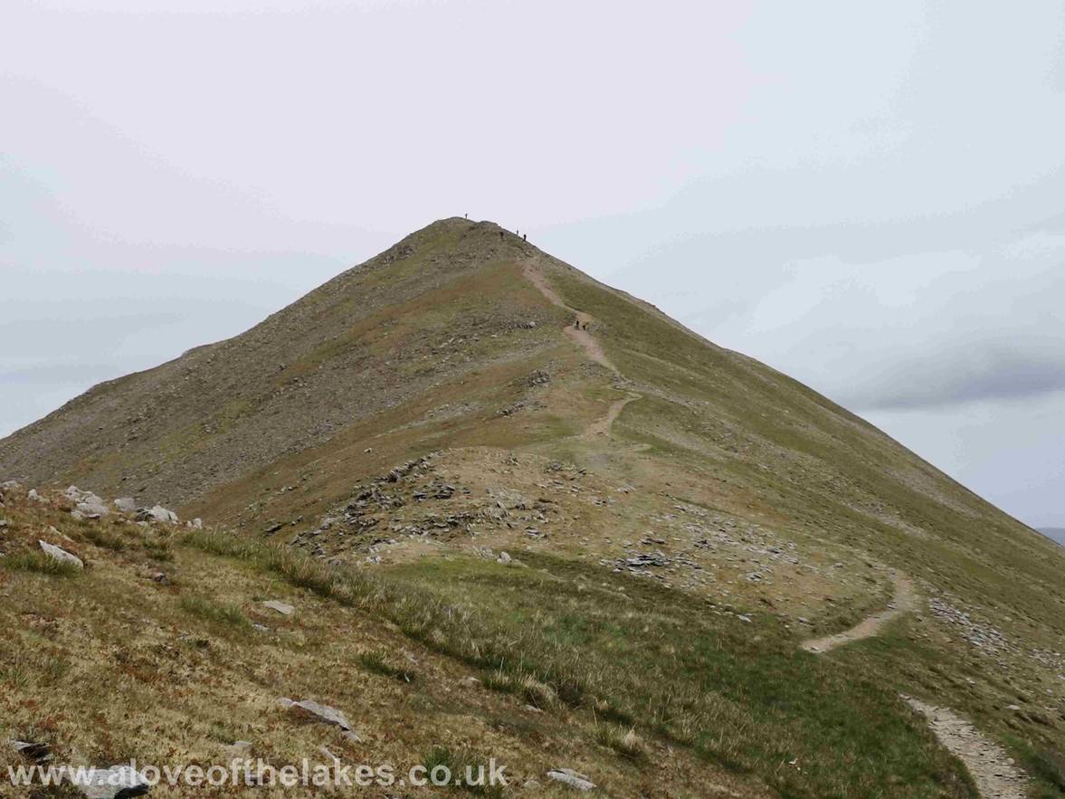
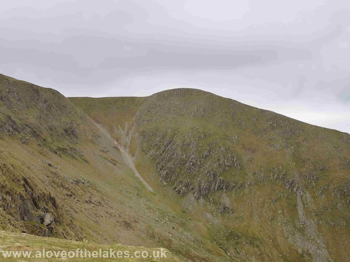
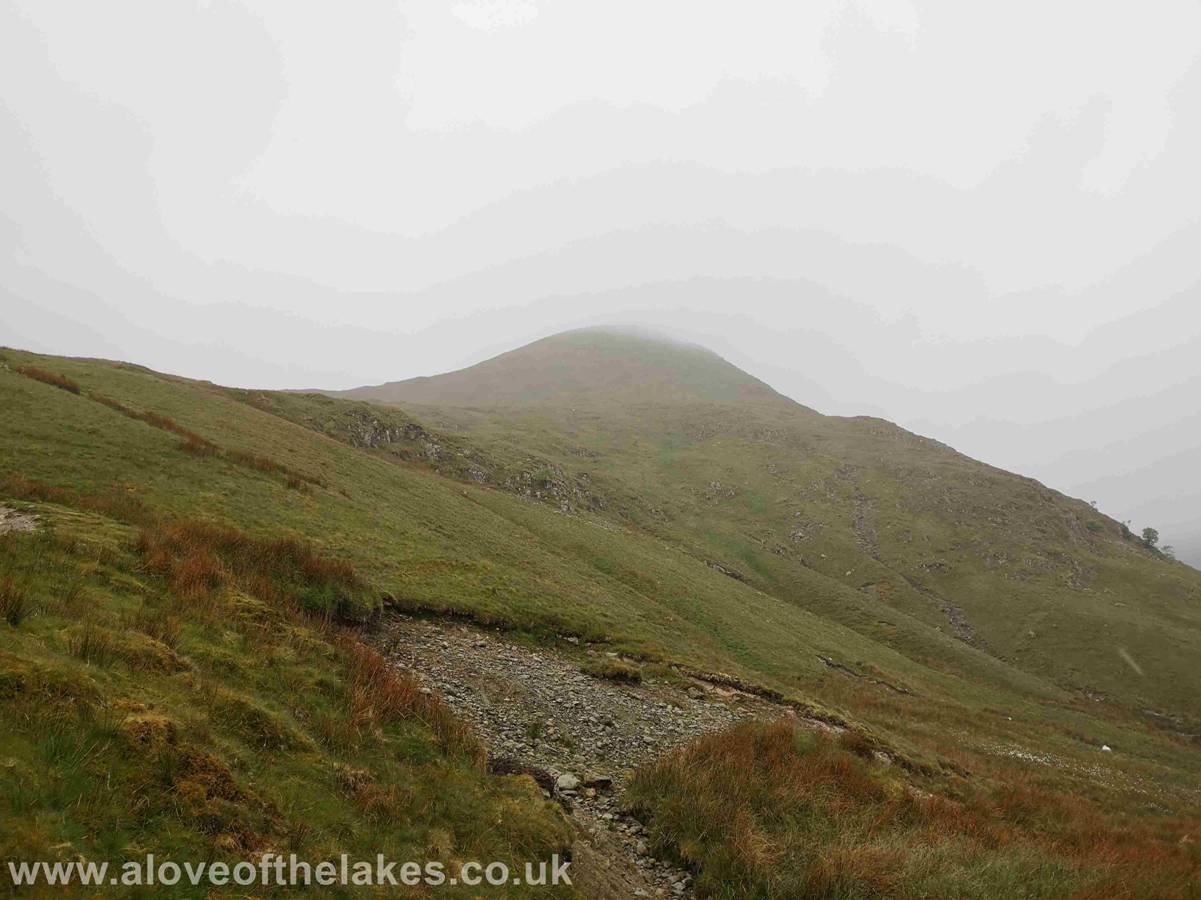
Looking back south towards our second destination … Catstye Cam (centre right)
We journey back retracing our steps back towards Red
Tarn and Helvellyn in up to now very clear and calm
conditions
Close up on the summit of Helvellyn
… its quite busy up there !!
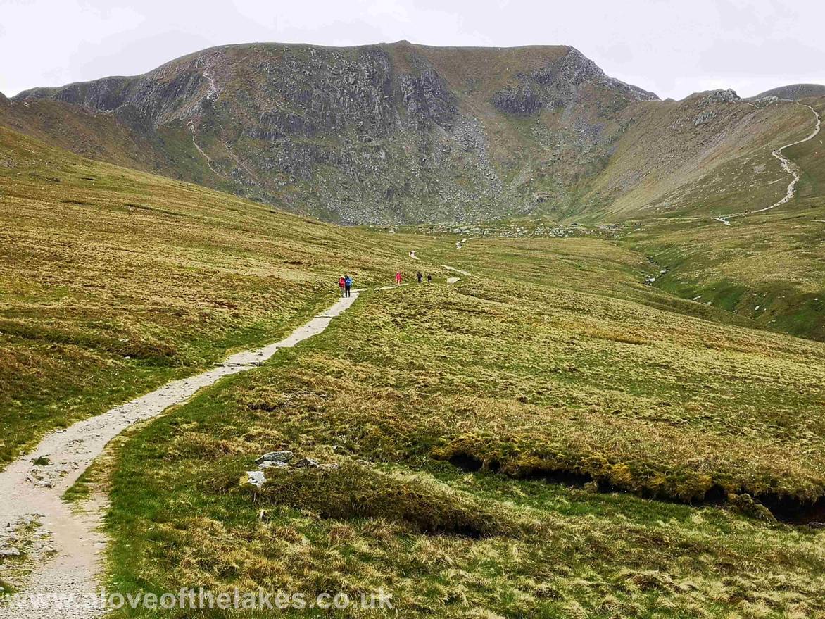
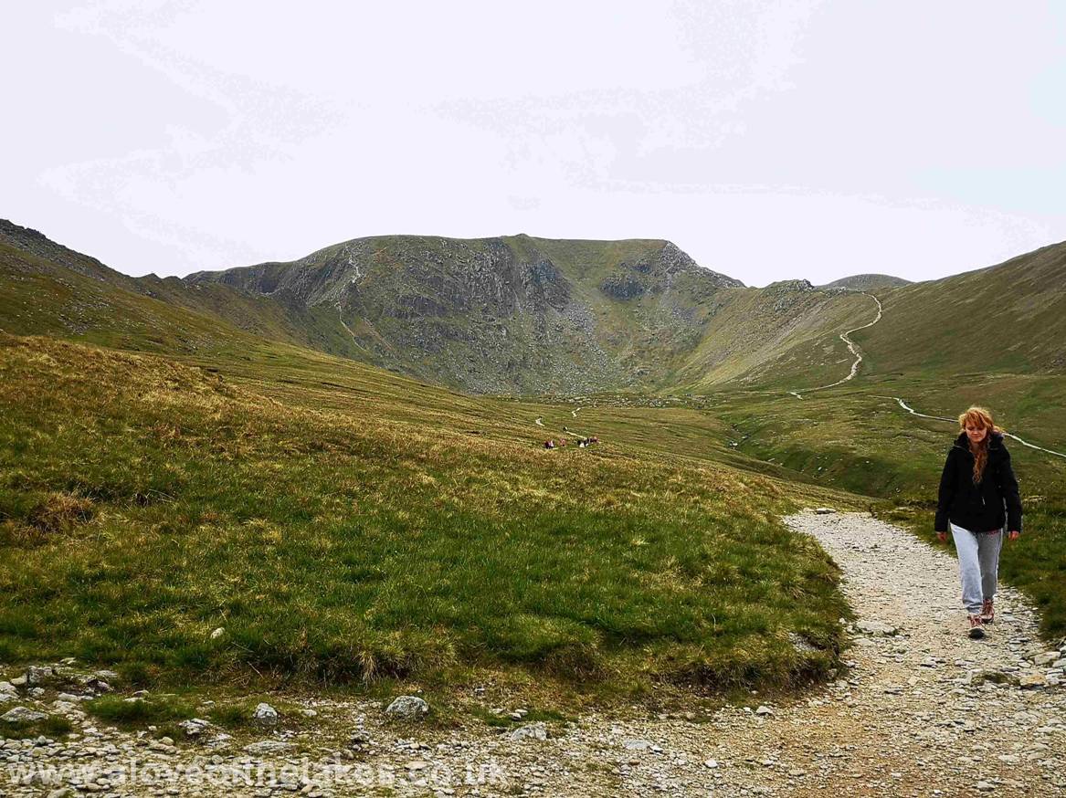
Approaching Red Tarn the path on the right is the one
we will take to approach Catstye Cam from the less
steep southern face approach. This is also the path that
leads up across Swirral Edge for Helvellyn bound
traffic
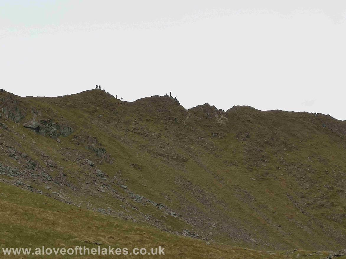
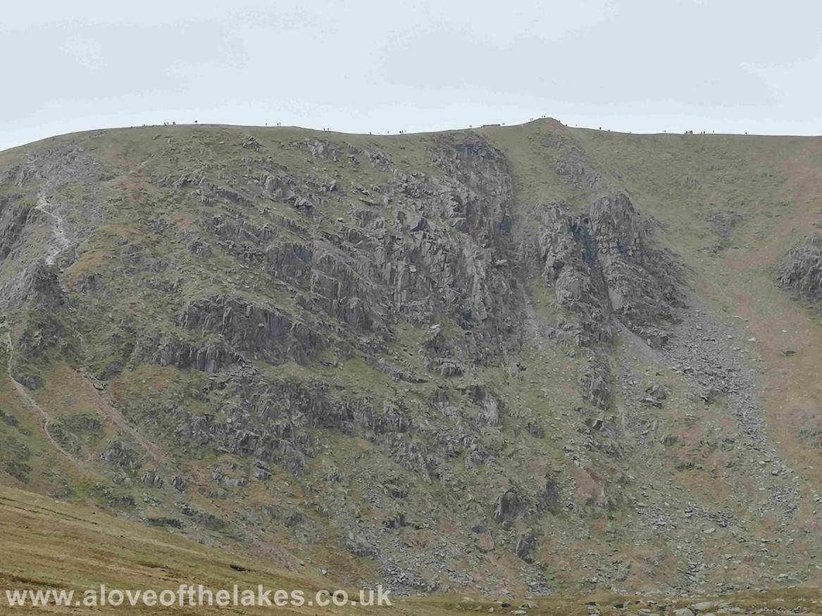
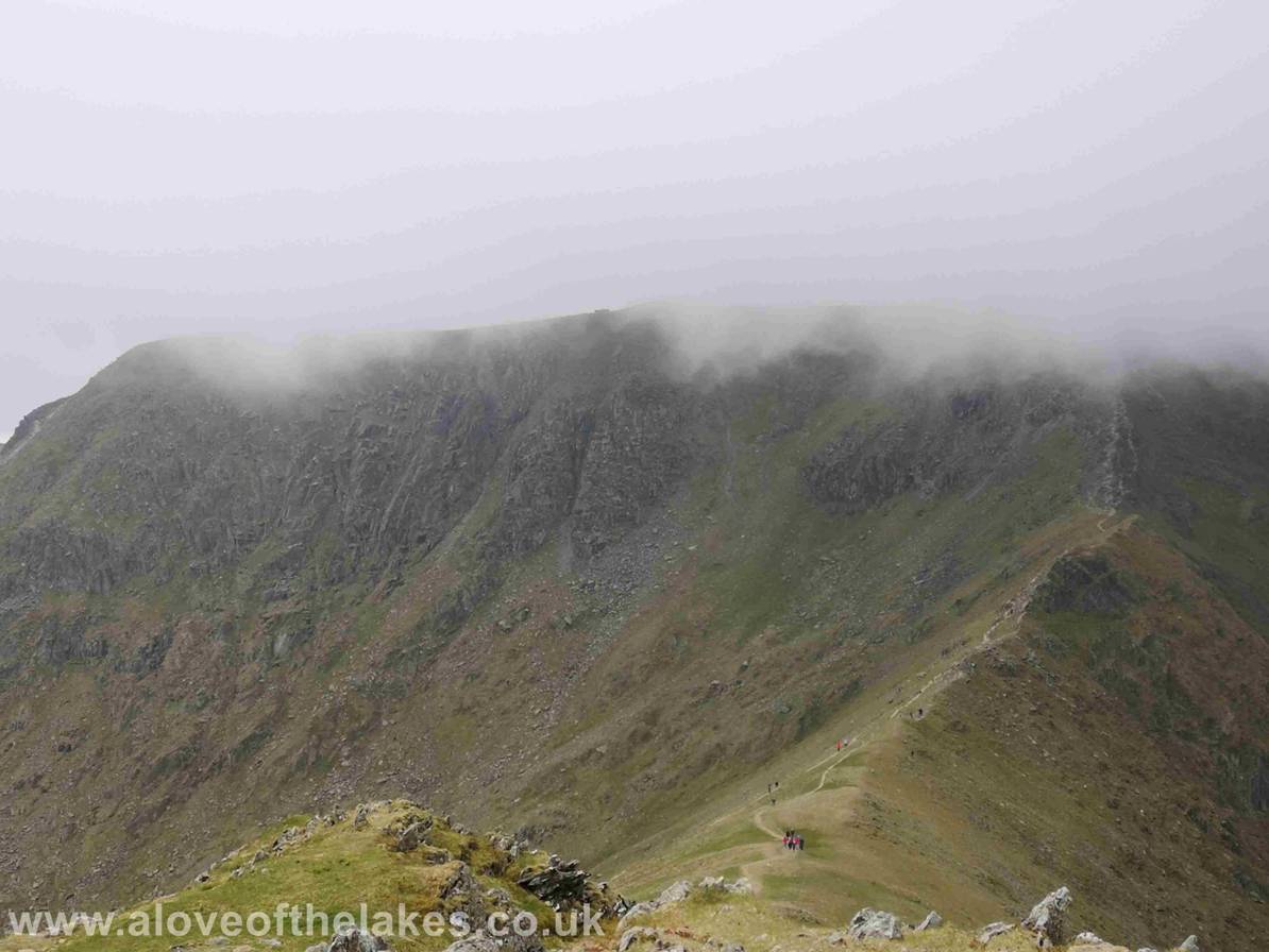
More swarms of ants crossing Striding Edge !!
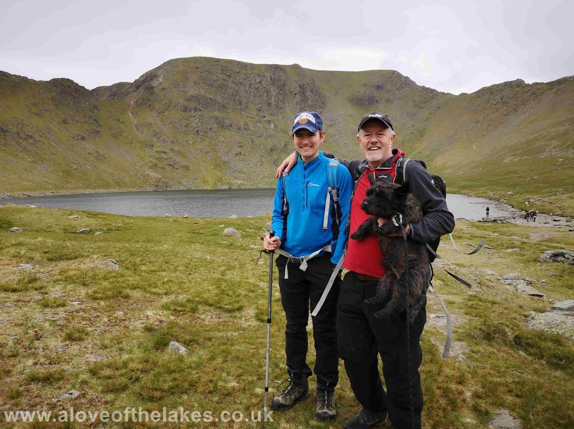
We stop for lunch at Red Tarn – a very popular spot
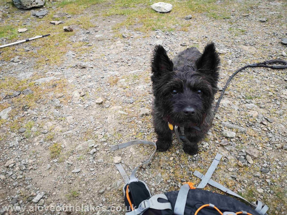
As ever Jones (the Bastard) is hopeful of cadging the
odd crust or two
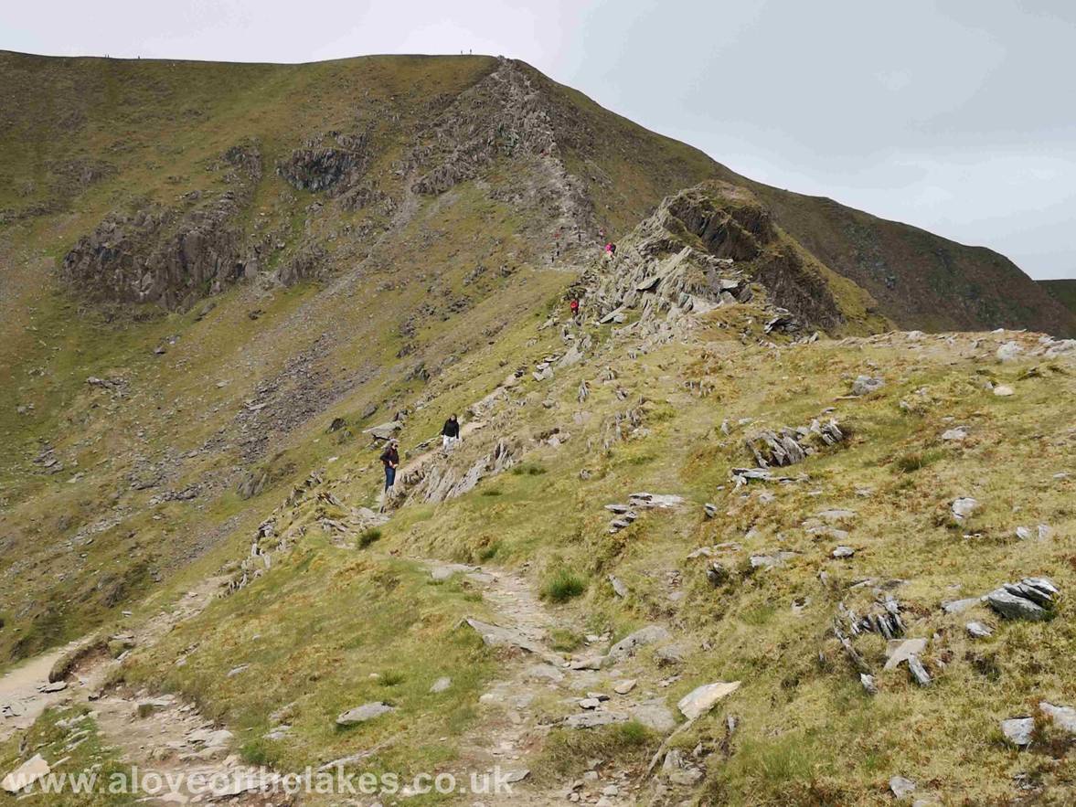
Just before we set off for Catstye
Cam a quick peek at the folk on top of Striding Edge negotiating the final
stage know as “The Chimney”
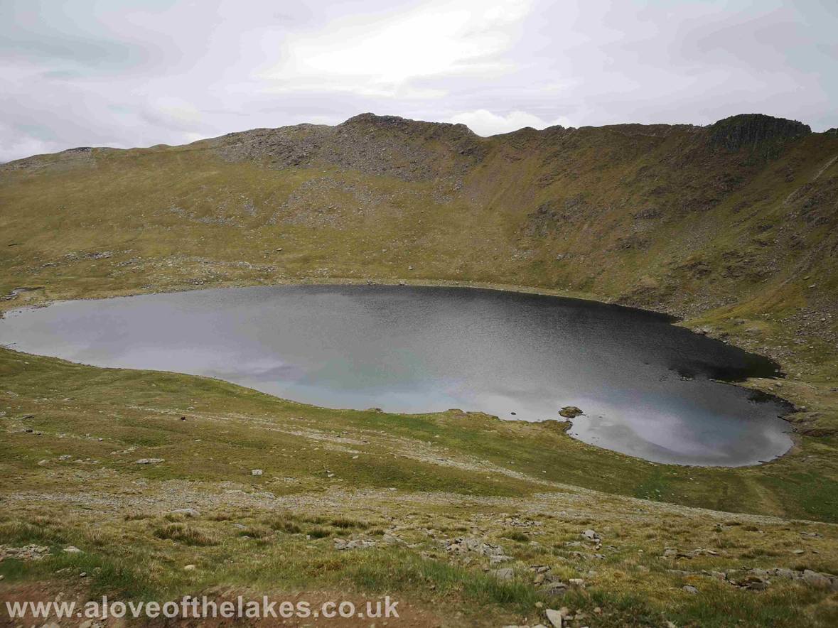
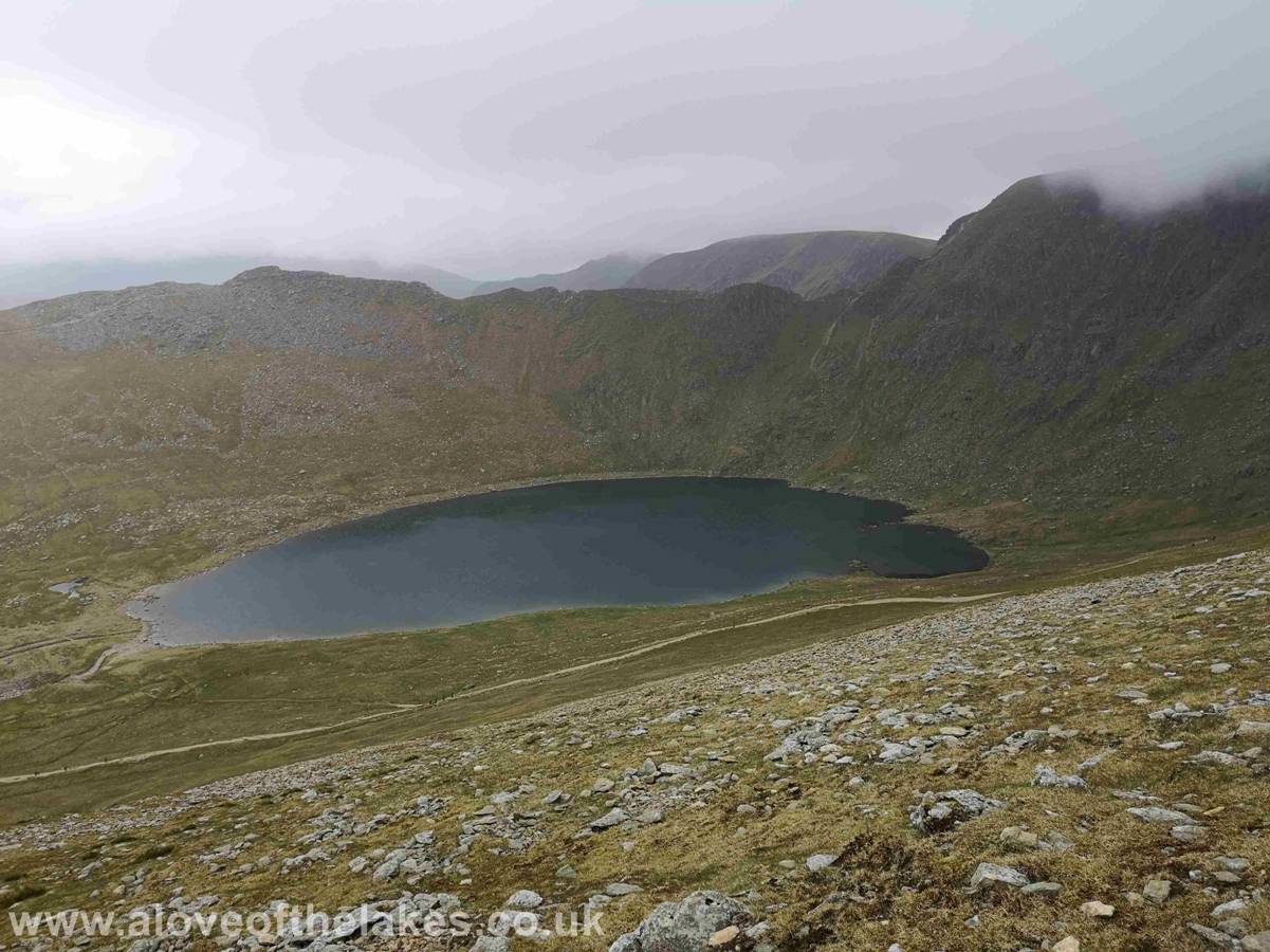
A shot of Red Tarn and the full extent of Striding
Edge from High Spying How (the bump on the left) and the Chimney (on the right)
A view of Swirral Edge as we
near the top of the path that will lead us right to the summit of Catstye Cam
The path leading to the summit of Catstye
Cam – at this point the weather starts to deteriorate quickly
Looking back to Swirral Edge
from the ascent of Catstye Cam
Helvellyn Little Man from
the ascent path
Within minutes the weather came in big time …
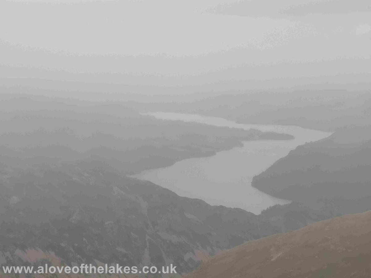
Looking towards Ullswater
(just about !!) from the summit of Catstye
Cam. Not a place to hang about for too long. The wind speed suddenly picked up
and the rain came
in heavily. The
summit top is narrow and very precipitous and cannot accommodate too many
people especially in these conditions, so we took our photos a beat a hasty
retreat back down to the
safety of Red Tarn
Click here for a 360 degree view from the summit of Catstye Cam … https://youtu.be/GtdErLA4CEE
Heading back down to Red Tarn
We took the popular path back down to Glenridding that swings left round the base of Catstye Cam and follows the line of Glenridding
Beck. This is a well crafted path
and very difficult
to get lost on as it leads directly to the Village Centre
Looking back to the drop we made from Catstye Cam, at this point the rain was torrential
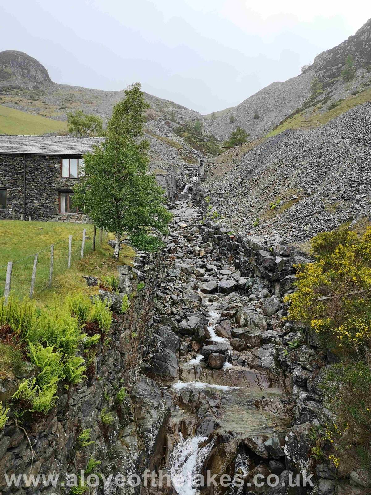
The Hydro Electric scheme that makes use of the
dramatic steep course of Glenridding Beck
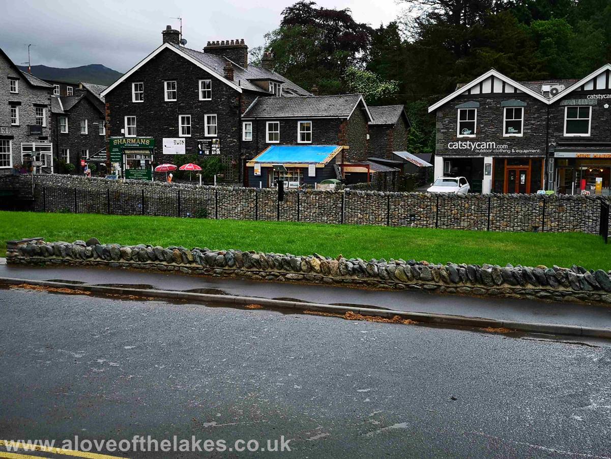
Safely back down to the Village Centre and back to Patterdale to dry off !!!
Copyright ©
aloveofthelakes.co.uk 2011 - 2019