Walk : Gavel Fell (1,720 ft) from Croasdale
Date : 29th June
2019
Weather : Extremely
hot @ 27°C with increasing cloud. Poor visibility
Distance : 5 miles round trip
Time
Taken : 1 hour 30 mins to summit
Which
part of Lakeland is this walk situated
Terrain
Overview
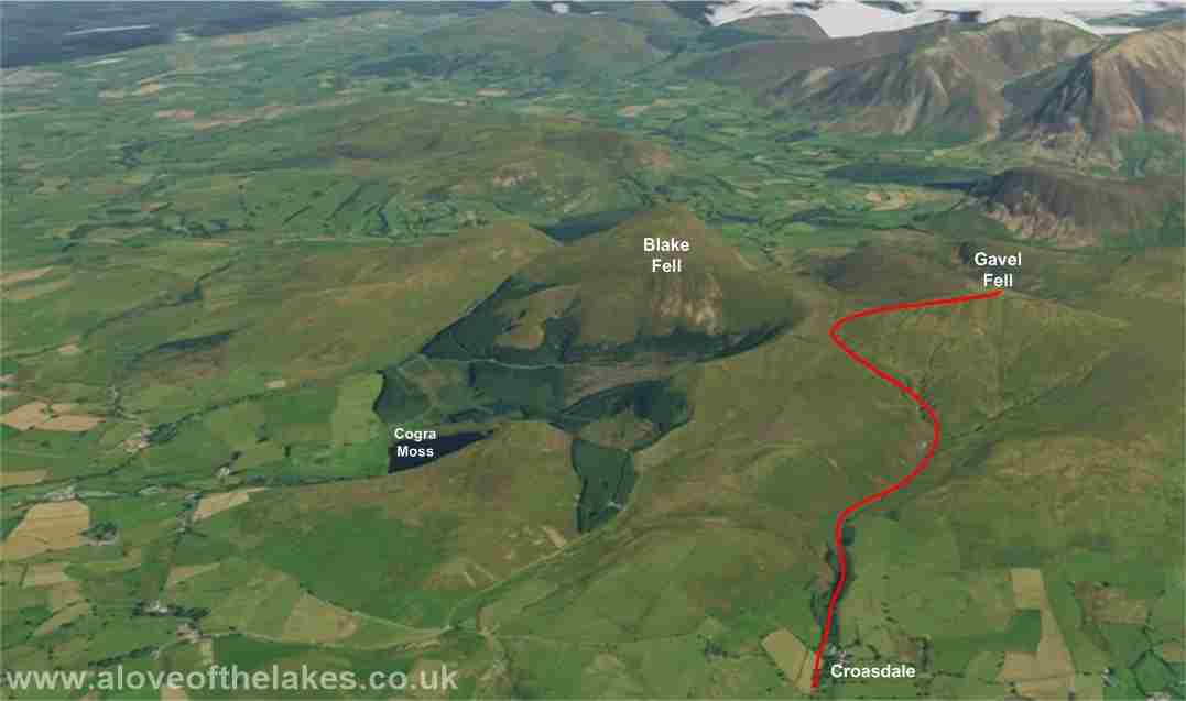
Overview
The final week of June saw soaring temperatures all
over the
The weather was forecast to break toward the latter
end of the day, however despite the intense heat and humidity conditions were
of increasing
cloud cover and
threatening rain, which made for poor visibility on the Fell tops. This walk
from Croasdale is a very gentle meander across grass
with a reasonably
good path throughout, but in my opinion care needs to be taken to understand
the geography and exactly which of the Fells
that surround is
Gavel Fell. I could imagine this walk being a tad difficult in mist
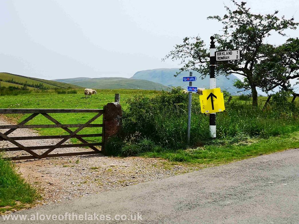
From the A66 Workington bound take the A5086 and
follow the signs for Lamplugh and then onto the minor
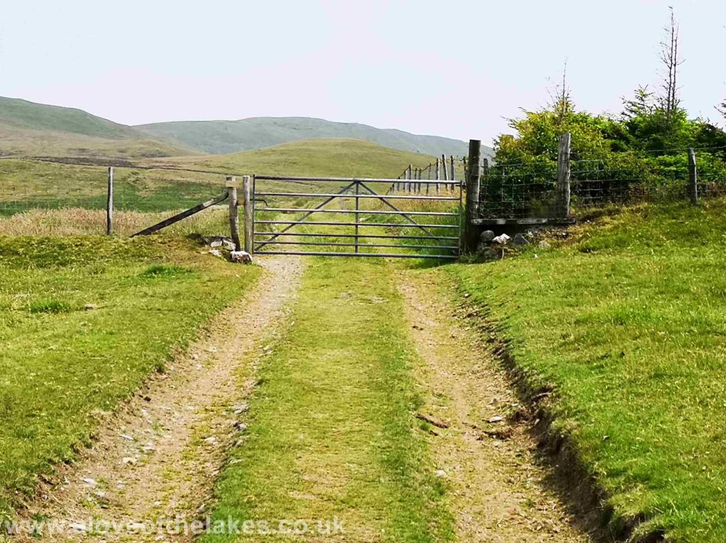
Hamlet of Croasdale. A 5 bar gate on
the left gives access
to a farmers field / sheep pen. This is the starting point for the walk which
cuts across the field leading to some old mining areas
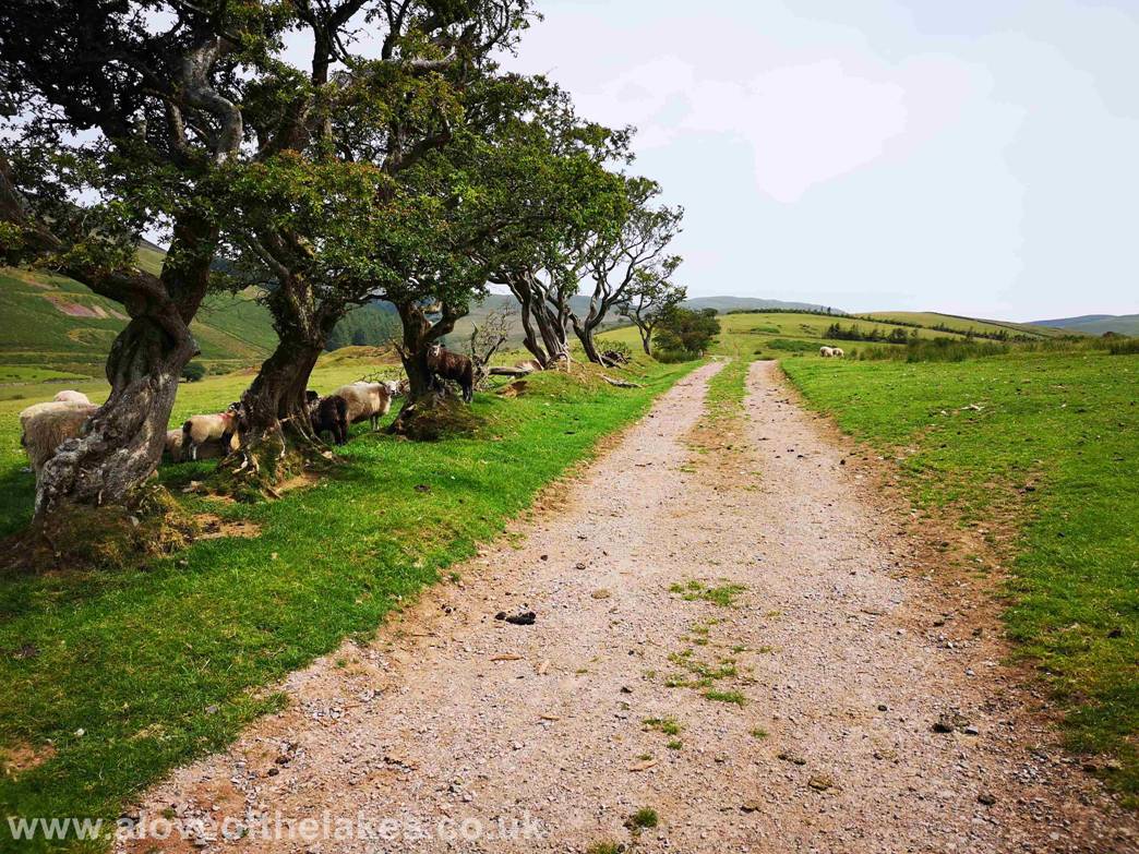
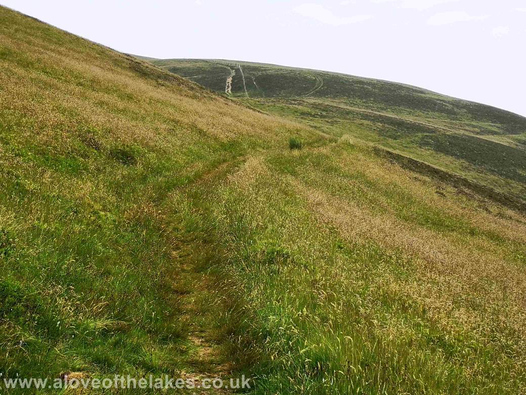
Setting off down the Old Mine track
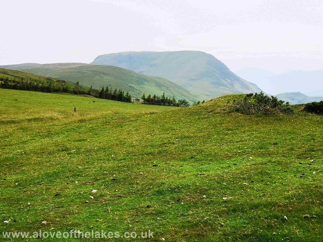
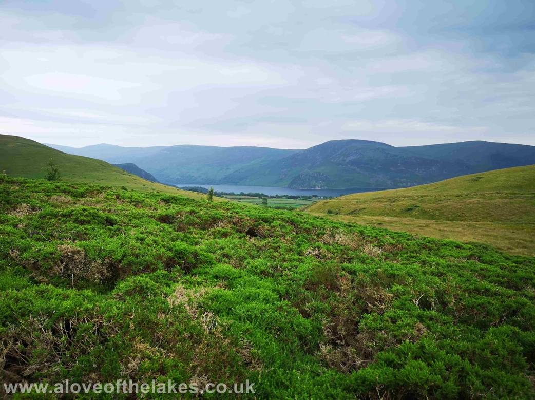
Looking across right from the track to Great Bourne
and Bowness Knott near Ennerdale
Water
After a short distance go through the gate and keep on
the same track
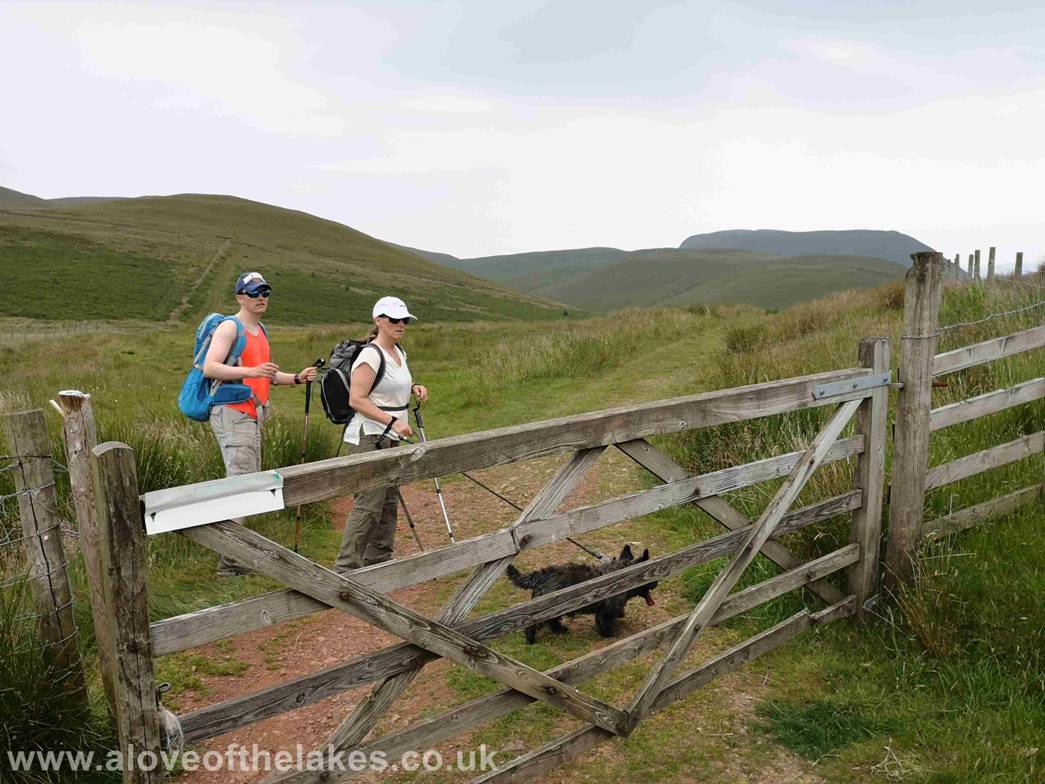
Yet further on and through a 5 bar gate turn
immediately left to depart from the old Mine track
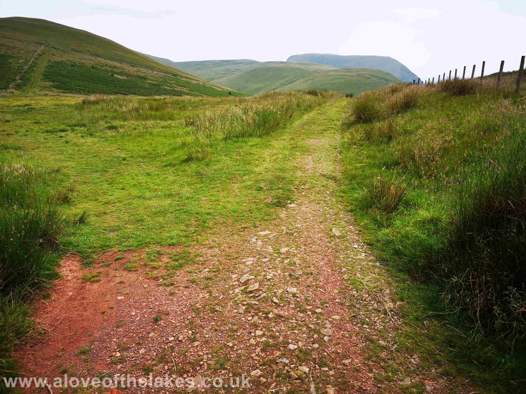
The route veers left now and leaves the Mine Track
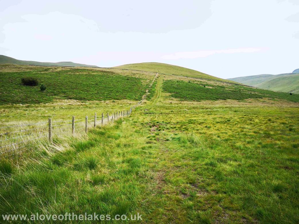
Setting off down the wide grass path that follows the
fence line and initially drops down into a boggy area before climbing to higher
and drier ground
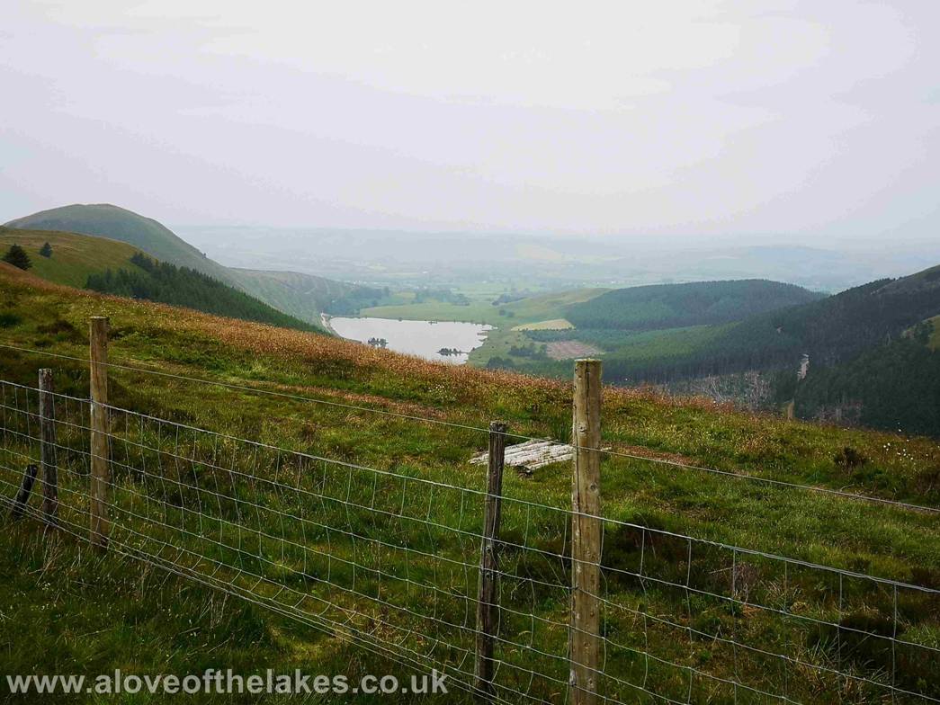
Looking back from the path and a glimpse of Ennerdale Water
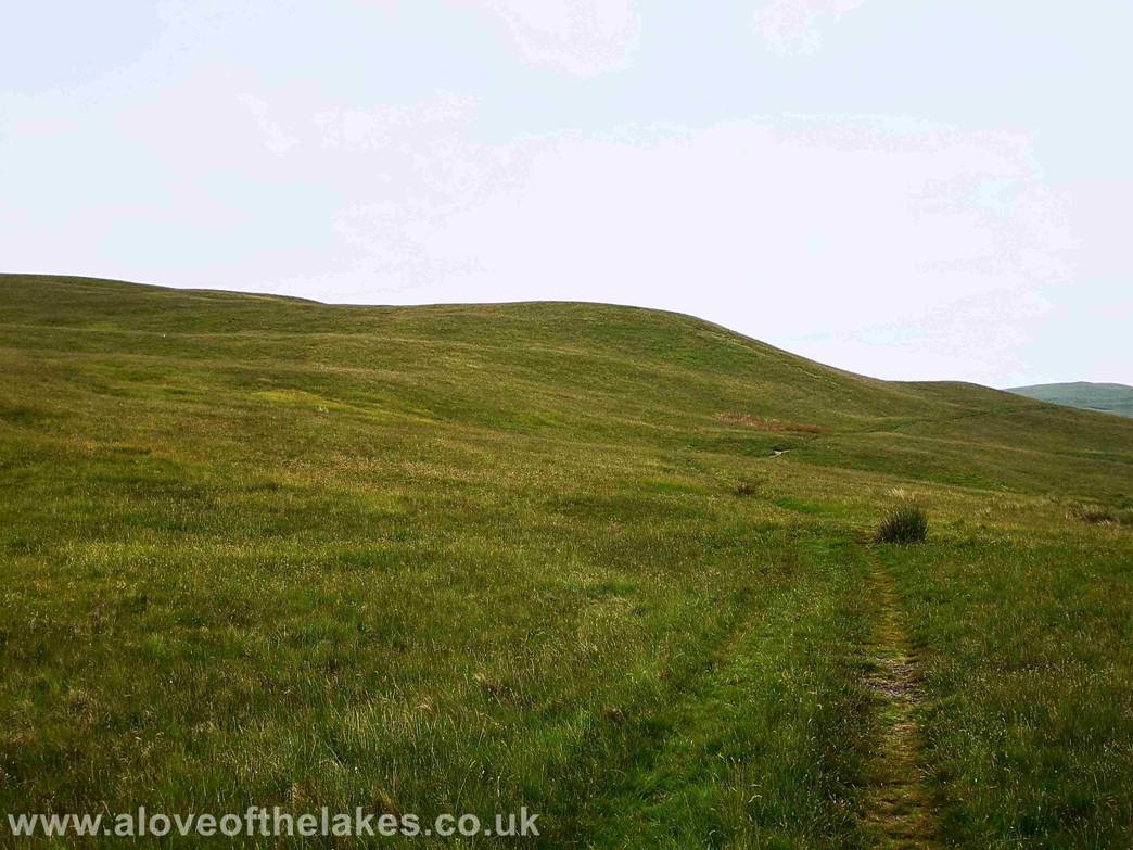
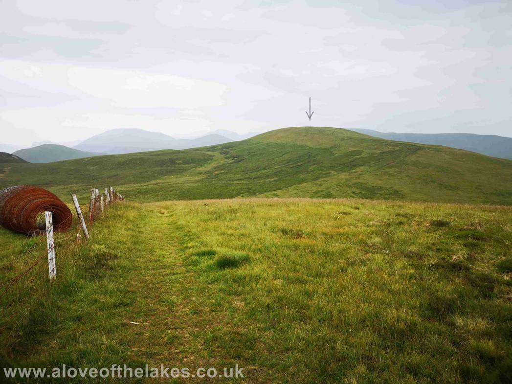
After about half a mile or so the path veers right away
from the fence line and journeys on towards the dip seen here lower right. The
path is easy
to follow due to
the Quad Bike tracks
Approaching the point where the path swings left to
head in the direction of Blake Fell and Gavel Fell
The path follows round on the lower slopes of High Pen
towards another fence line
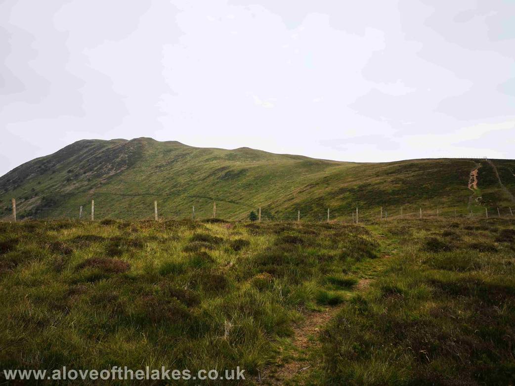
Blake Fell from the fence line on the left
Cogra Moss from the
fence line
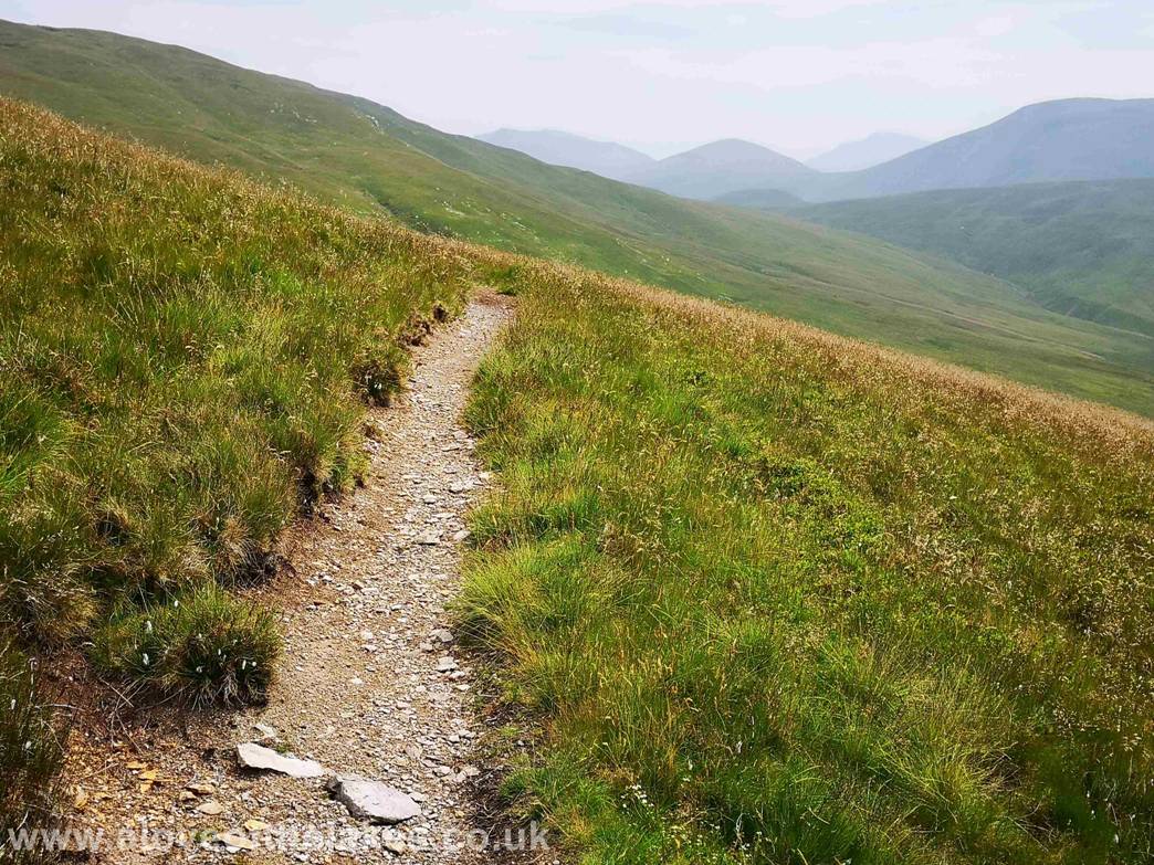
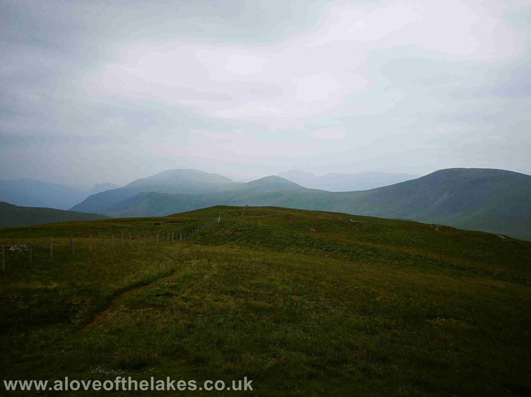
At the top of the climb the fence splits is
perpendicular to the path you have been travelling along. Do not climb over it
as this then leads on to Blake
Fell, just follow it round to the right. The path drops
down a little into a dip then swings right and cuts up the shoulder of Gavel
Fell which is indicated
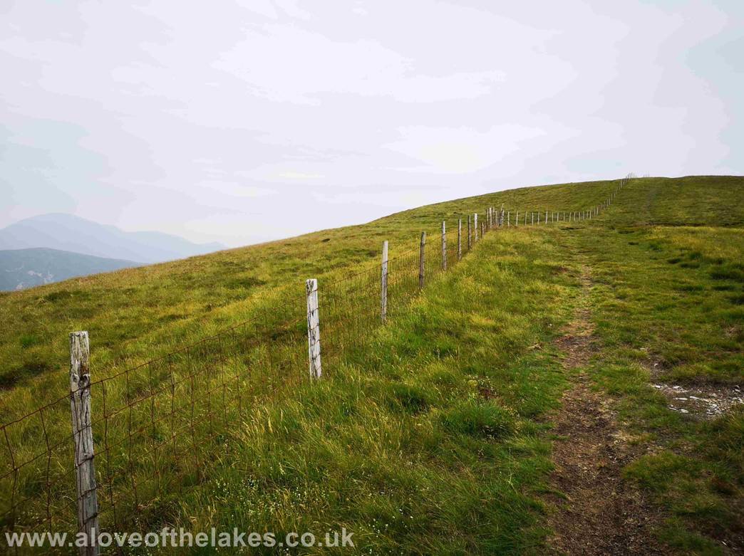
At the top of the shoulder the path swings round to
the left and follows a fence line directly to the summit
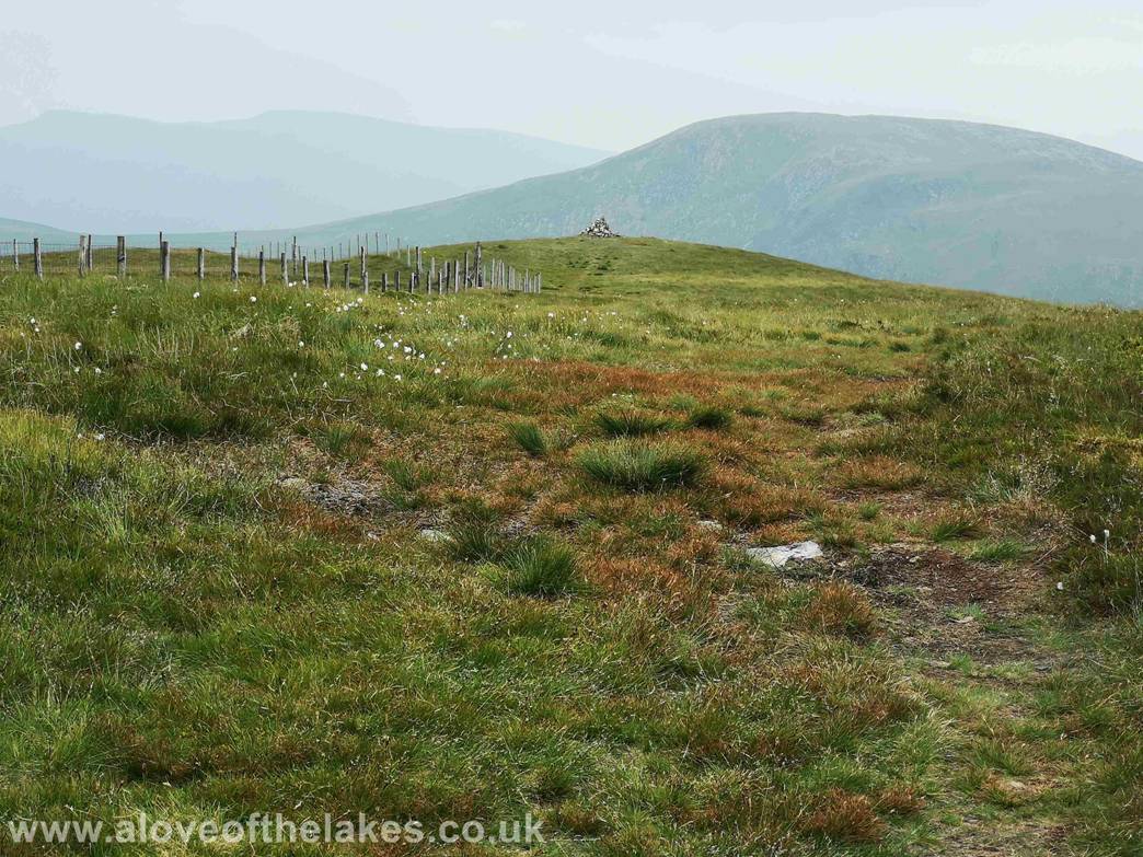
The summit cairn of Gavel Fell
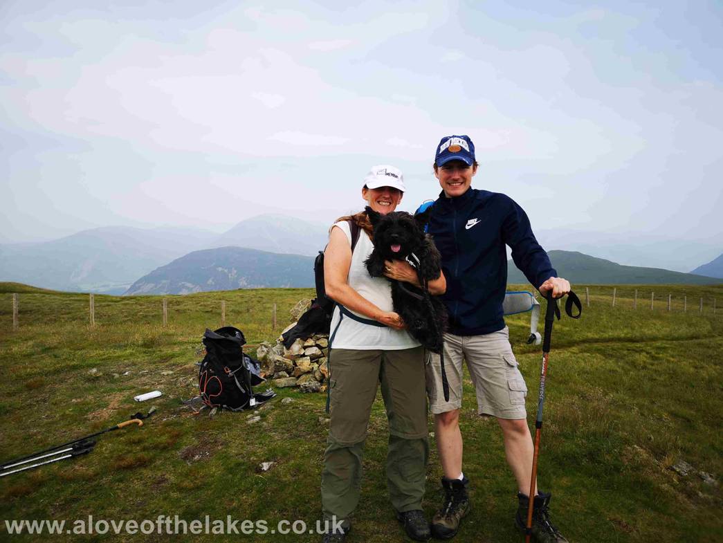
Sue, Ste and Jones the Bastard on the summit of Gavel
Fell
Click here for a 360 degree view from the summit of
Gavel Fell … https://youtu.be/uPss40cG9Rk
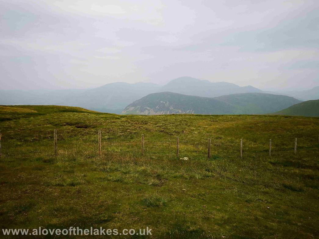
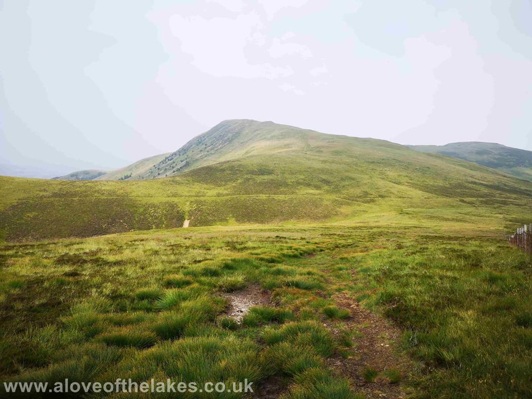
Very poor visibility today on all of
the fell tops, here looking towards Mellbreak
and in the faded distance Grasmoor, Wandope, Whiteless Pike
Looking towards Great Borne and Starling Dodd
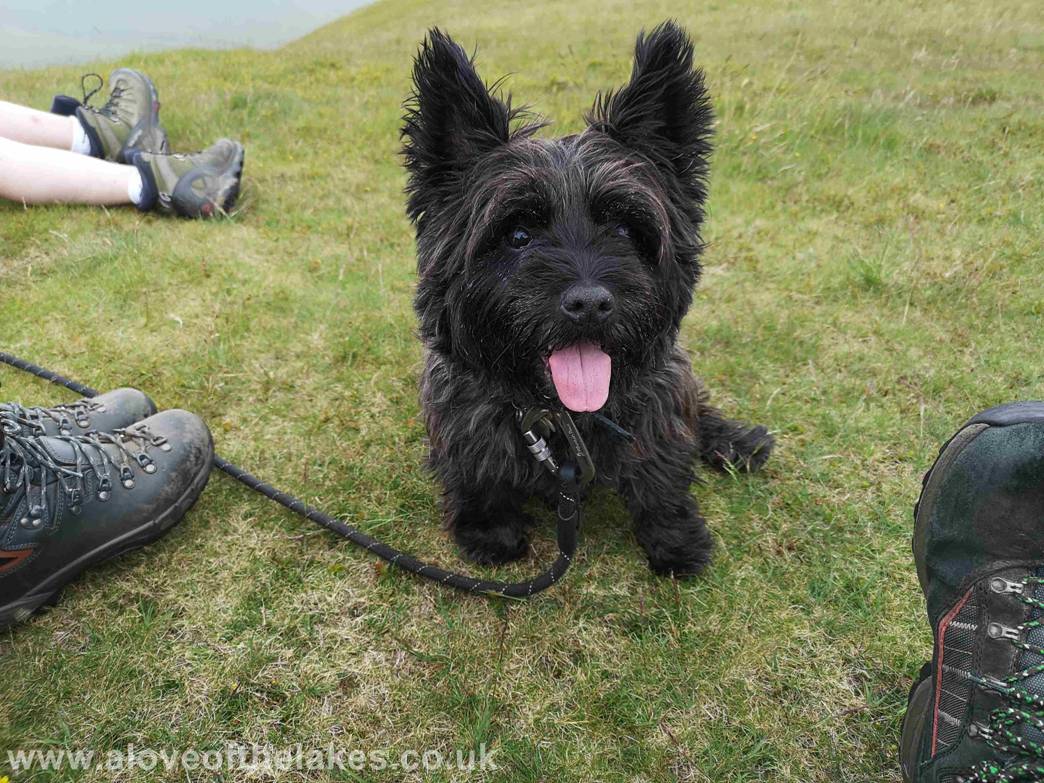
As ever Jones the Bastard in the hope of scrounging
other peoples dinner
Looking back to Blake Fell from the path we came up to
get to the summit
Copyright © aloveofthelakes.co.uk 2011 - 2019