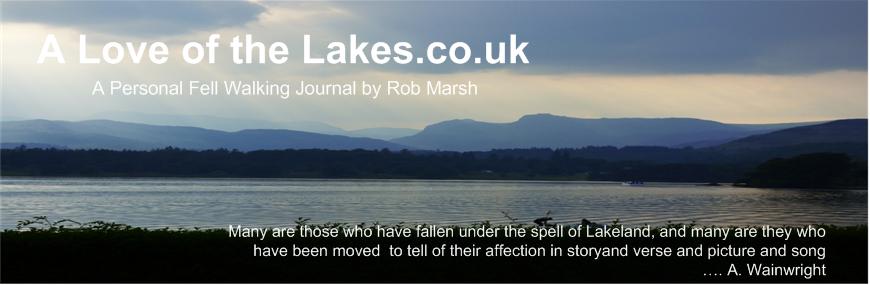
Walk : Gray Crag (2,286 ft) and Thorthwaite
Crag (2,569 ft) from Hartsop
Date : 3rd August 2019
Weather : Extremely
hot @ 25°C high humidity
Distance : 7 miles round trip
Time
Taken : 1 hour 50 mins to
first summit (Gray Crag)
Which
part of Lakeland is this walk situated
Terrain
Overview
Overview
A day trip up to
progress. The route we
took basically was the one recommended by Wainwright that climbs very steeply
on at times pathless grass up the north facing
nose of the fell to
gain the ridge line just beyond a prominent set of crags that can be bypassed
to the left. Once past these a more prominent track
can be followed all
the way up to the summit
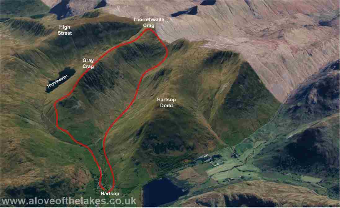
From Windermere, take the Kirkstone
Pass (A592) towards Ullswater and eventually make a
right turn at the signpost for Hartsop.
The car park in
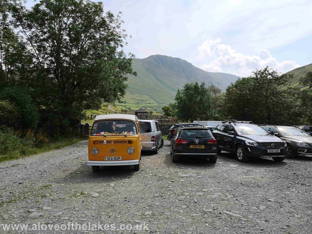
The honesty box with an instruction to not leave your
doggy mess bags on site J
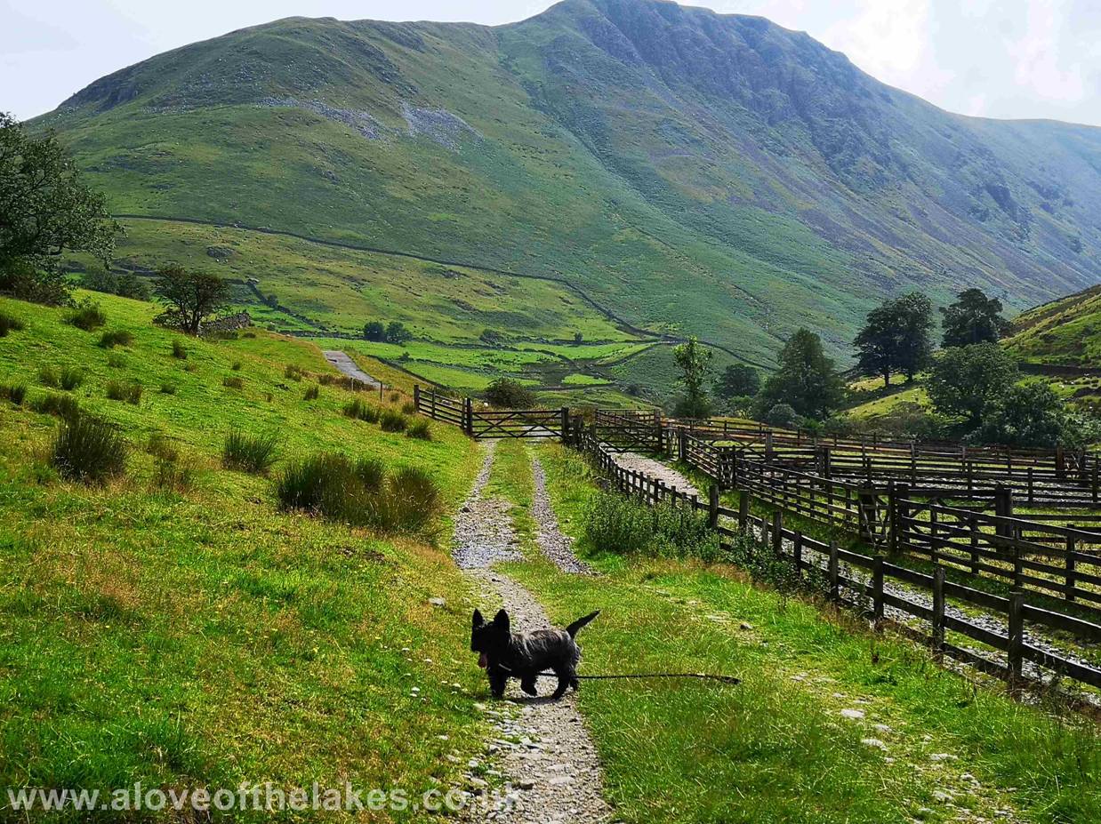
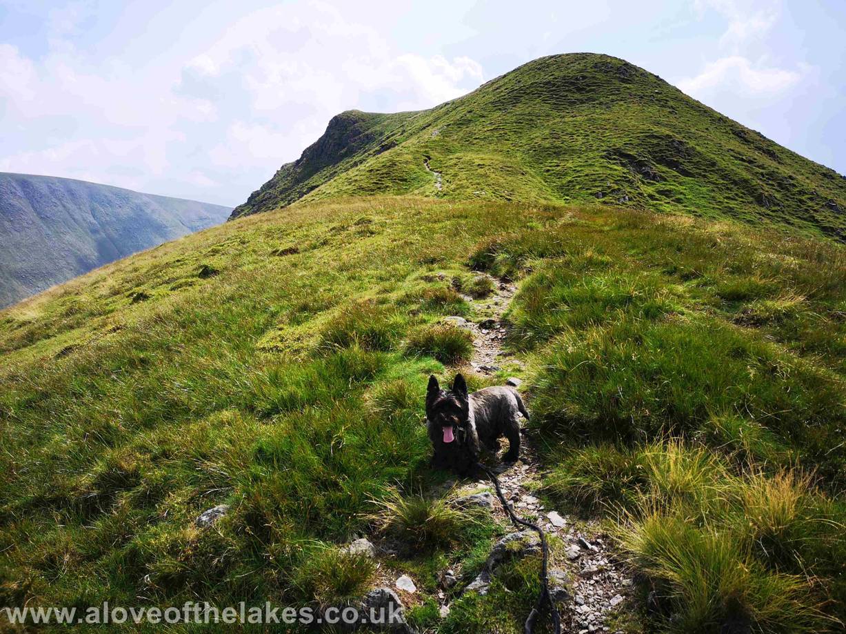
Gray Crag straight ahead, Jones the Bastard leads the
way
Through the first hand gate and looking
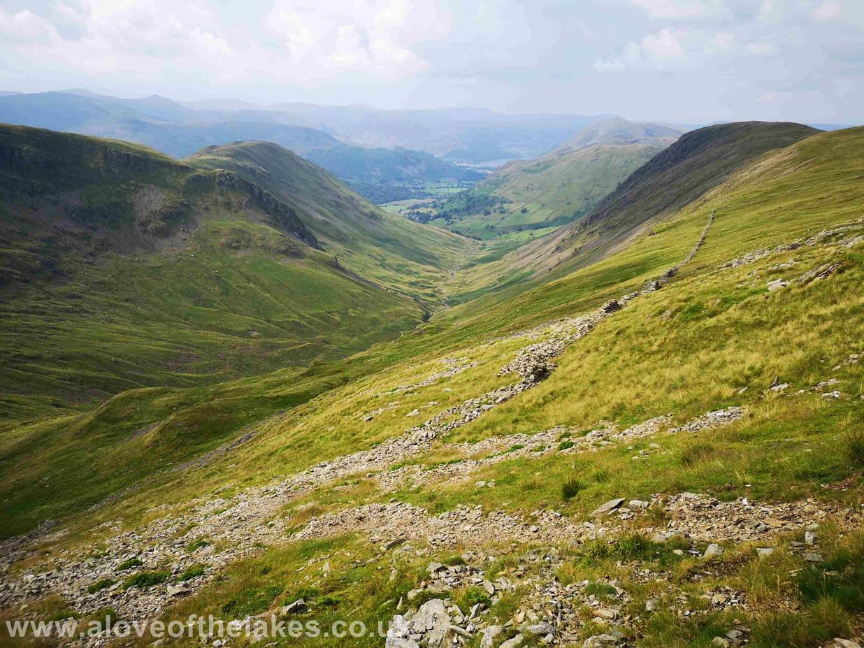
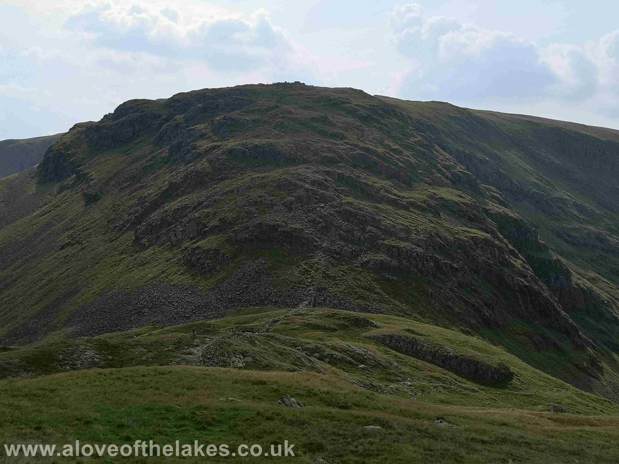
right across to Threshthwaite Mouth (see in closer
detail later) at the head of the Pasture Beck valley. This
was to be our return route
From the gate next to the cattle grid take the path
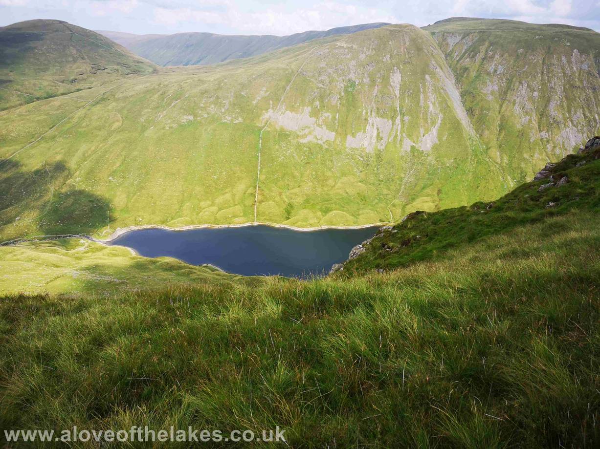
that drops to the right which leads to Hayeswater
Reservoir
The path climbs steadily as it crosses Pasture Beck to
follow a stone track that skirts the base of Gray Crag
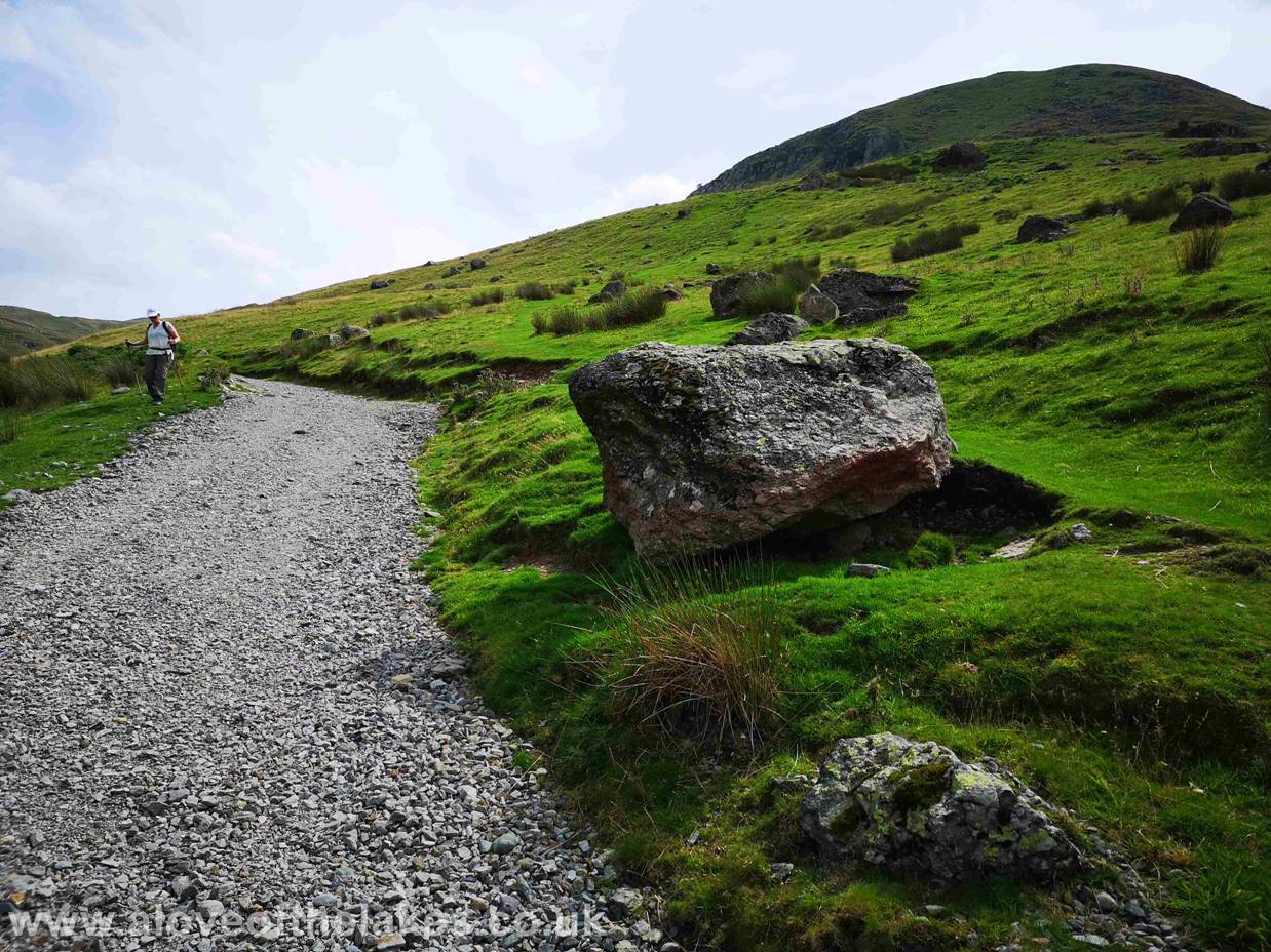
The point at which you decide to veer off the path to
the right is subject to debate – but for me having had to back track a little
the easiest (and least steep) option is to just
cut in right after
this prominent boulder and head diagonally to the left to pick up the faintest
of paths
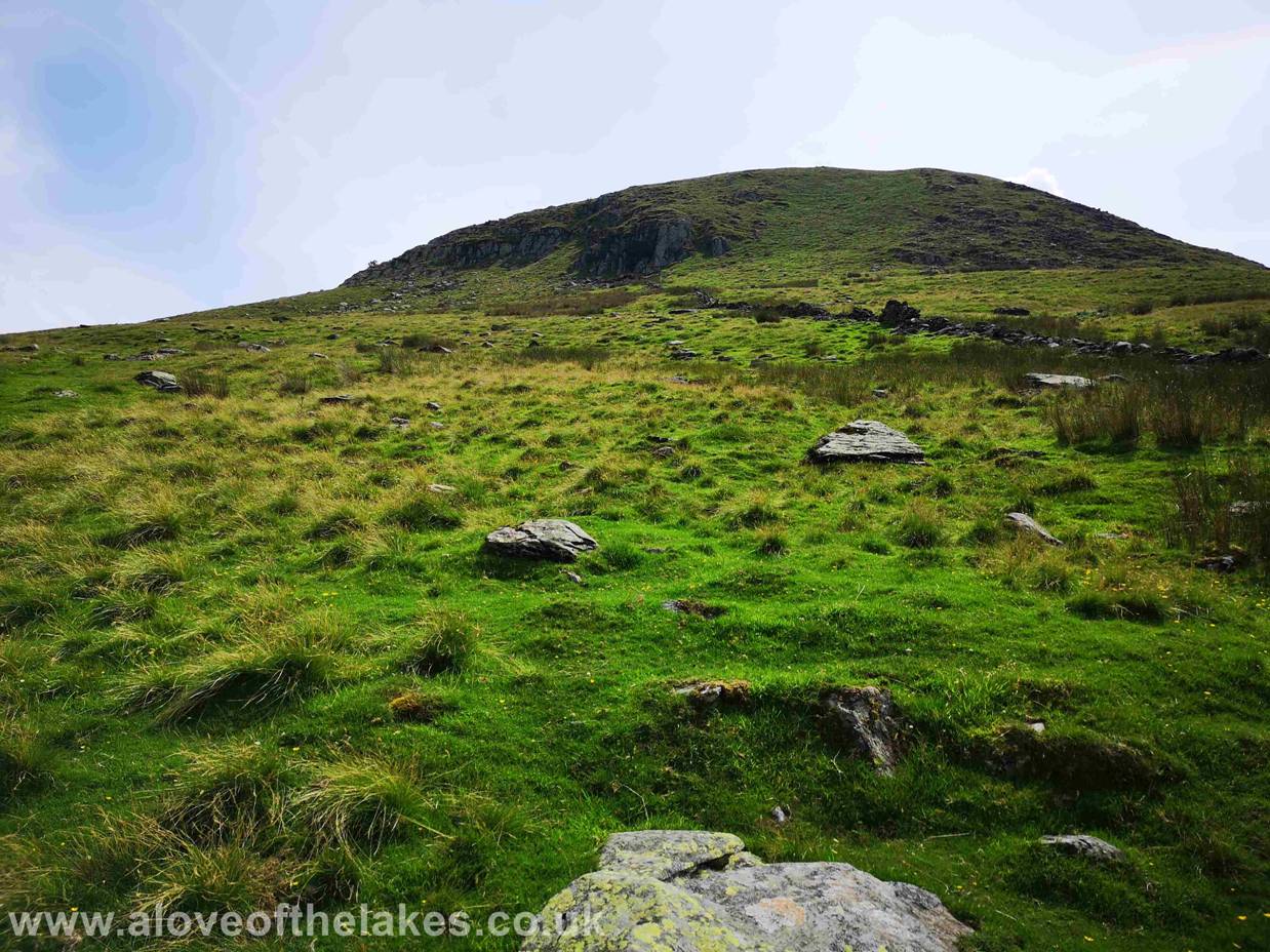
Wainwright suggested in his guide book to just climb
directly following the wide grass break in the rock line – but its far easier
(still steep though) to aim towards the tree that you
can see sticking up
from the left shoulder of the crags. Also via this route you eventually pick up
a more well defined stone path
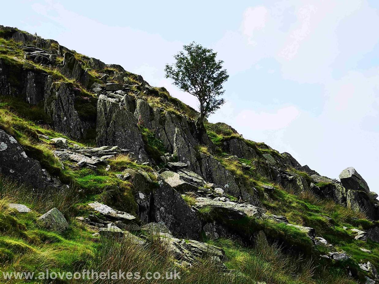
The lone tree from the stone path
The track zig zags a little as it rounds the rock outcrop, but once past
it you get your first close up view of Gray Crag
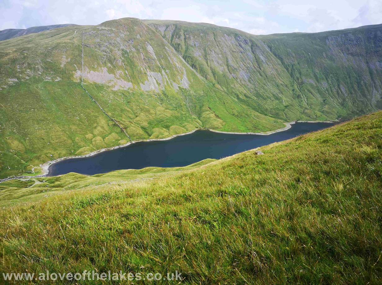
Looking left down on Hayeswater
Reservoir from the track
The track to the summit winds round right to climb the
eastern face of the ridge line. Jones starting to feel the heat a little
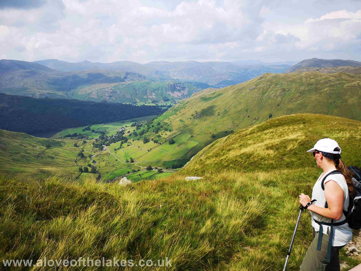
On the upper reaches of the summit track and we pause
to look back to the
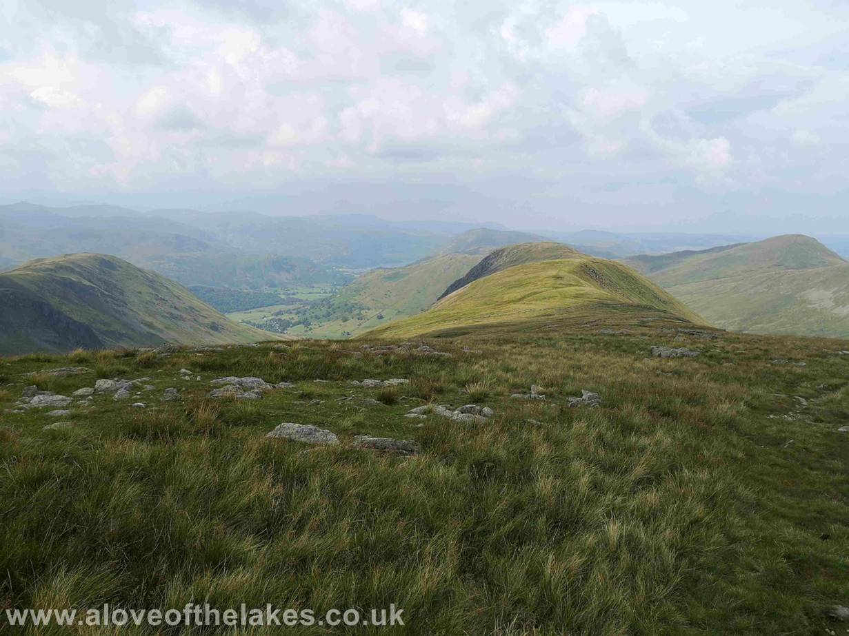
At this height now the views start to open up across
the Reservoir towards The Knott, Rest Dodd and the High Street range of fells
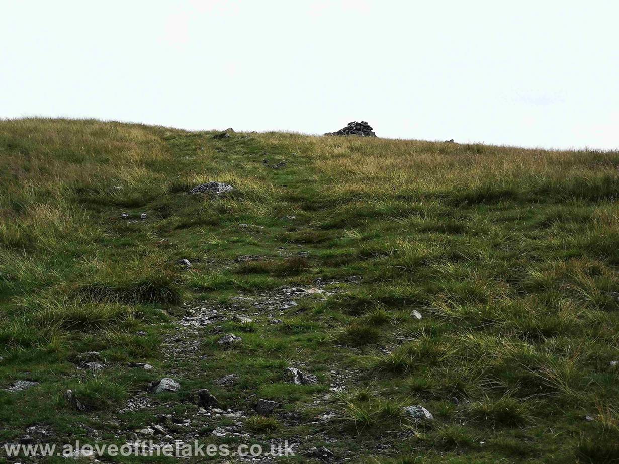
After the best part of 1 hour and 45 minutes of toil –
the most welcome sight of the summit cairn on Gray Crag
Made it – now lunch and fluid. The
top itself is most pleasant with great views and a place certainly worth
staying a while to take in the stunning scenery
Click here for a 360 degree view from the summit of
Gray Crag … https://youtu.be/9AEelECnU38
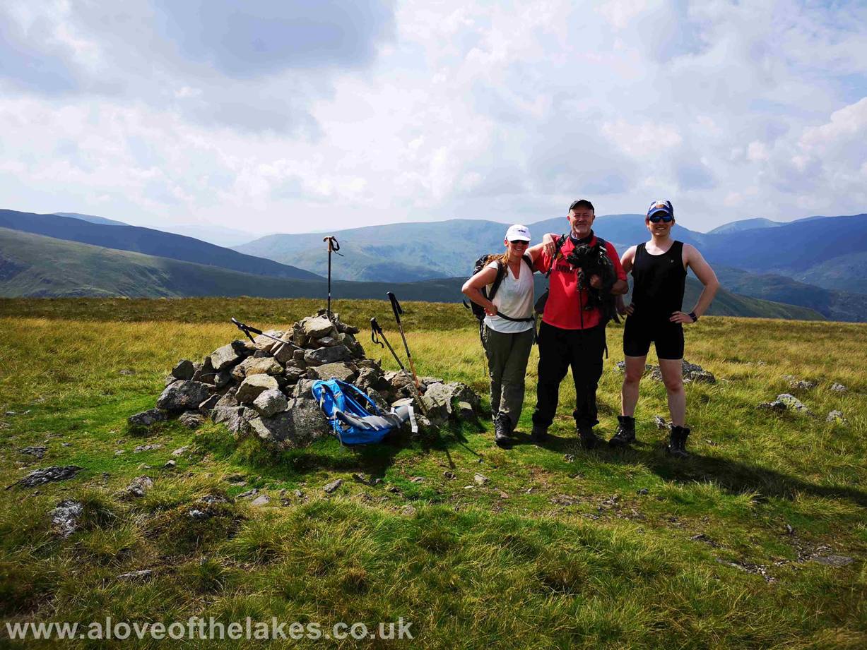
Team shot on the summit of Gray Crag
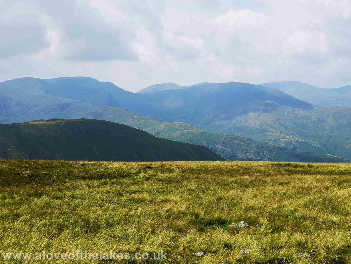
Looking west towards Helvellyn
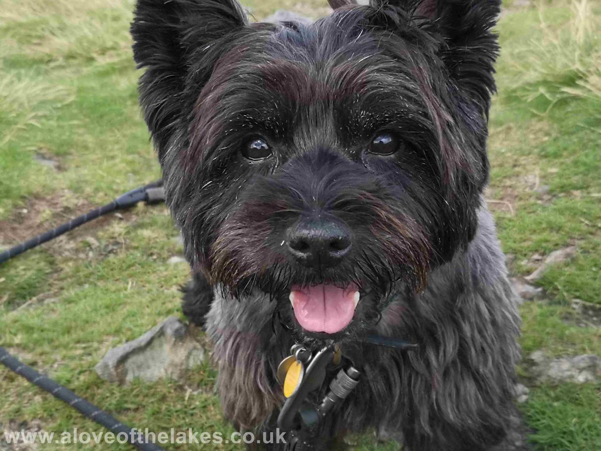
Why does he always come to scrounge my dinner ???
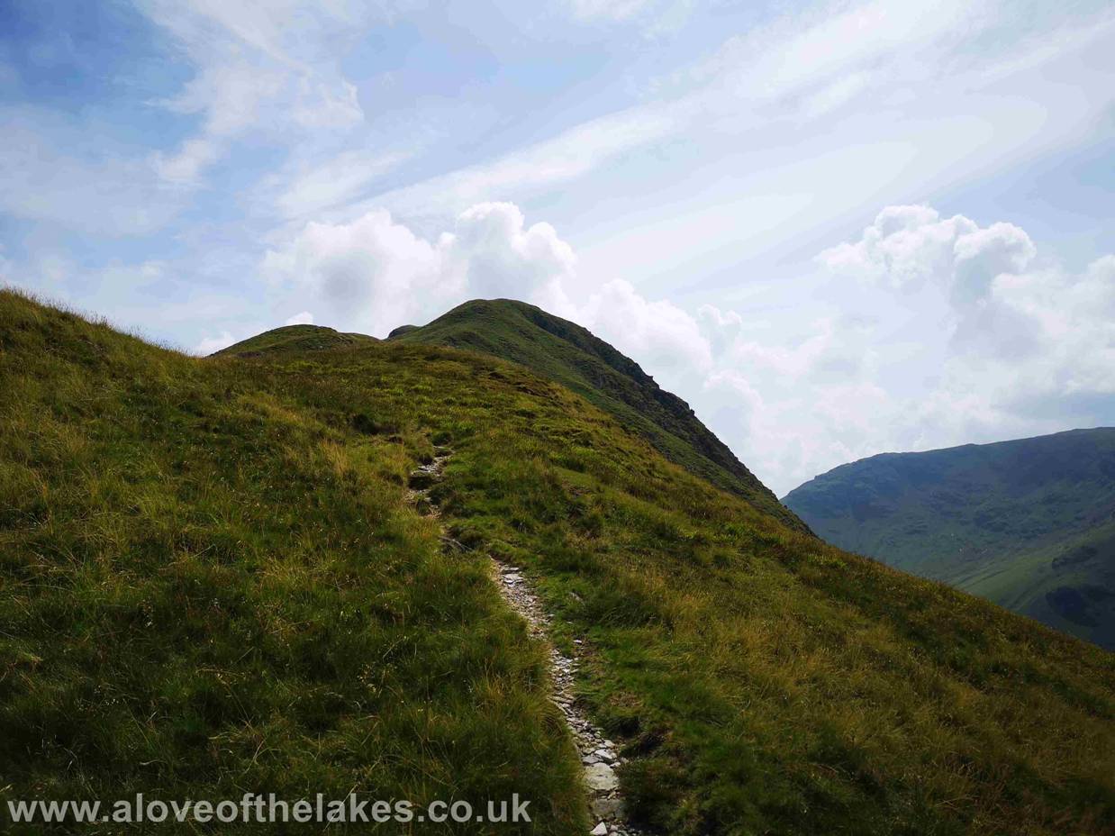
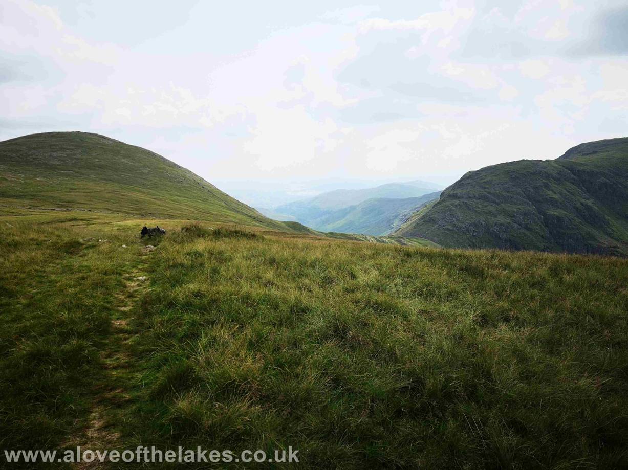
After a good half an hour or more we set off south to
follow the ridge line to Thornthwaite Crag. The path
leading to High Street from there sweeping off left
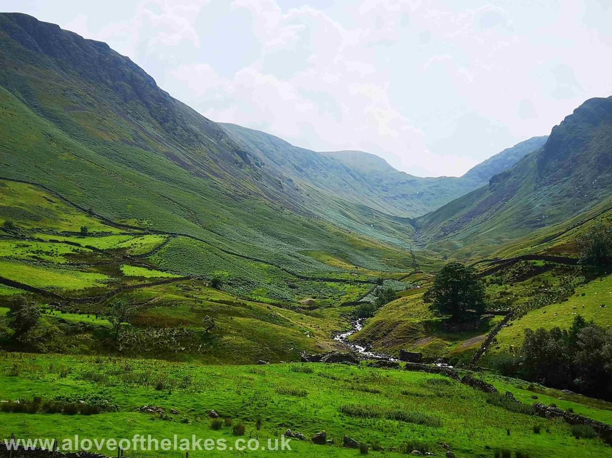
In the very faint distance you can just see Windermere
picture framed by Threshthwaite Mouth at the head of
the valley we walked past earlier. The second objective of the day
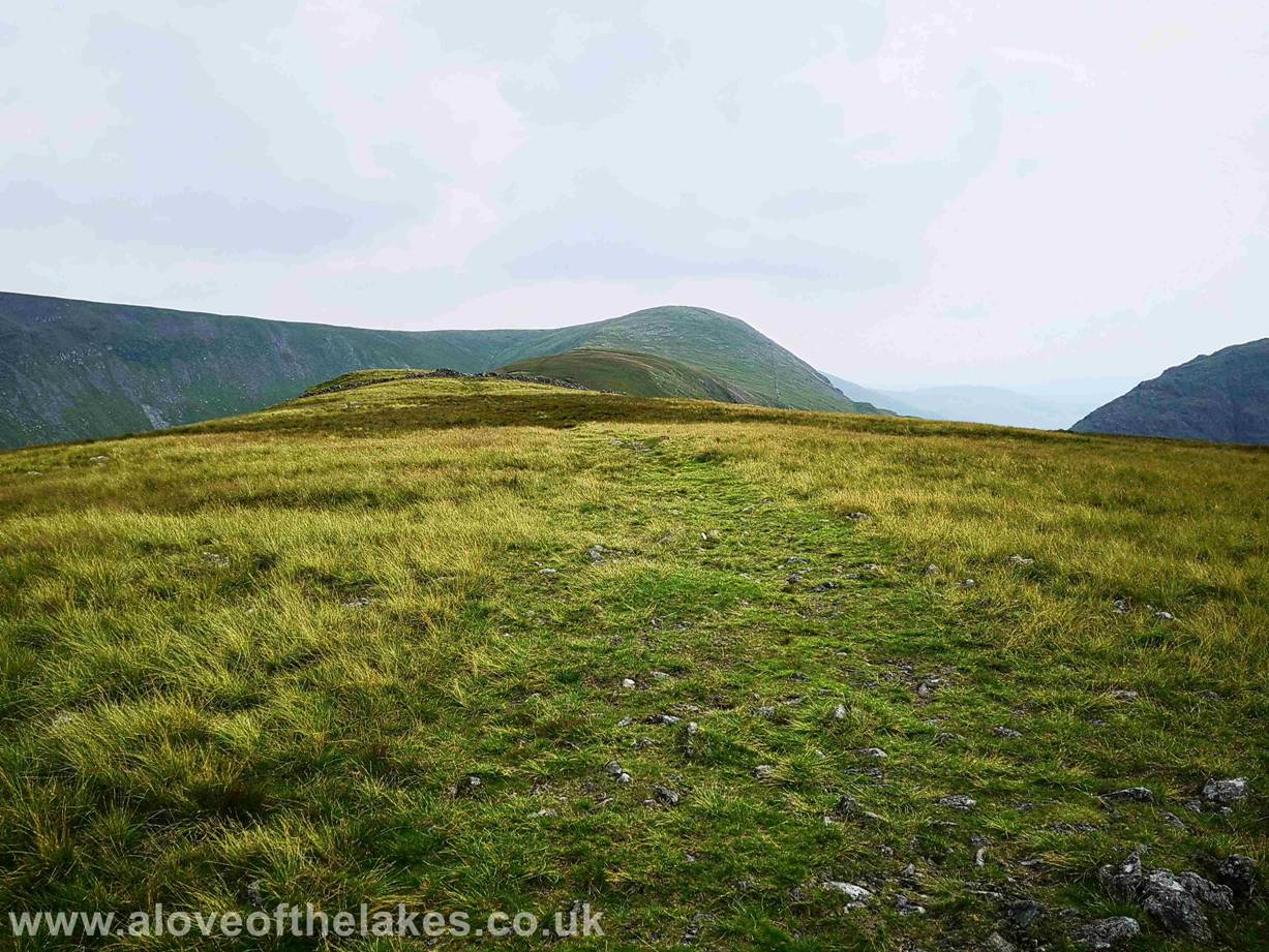
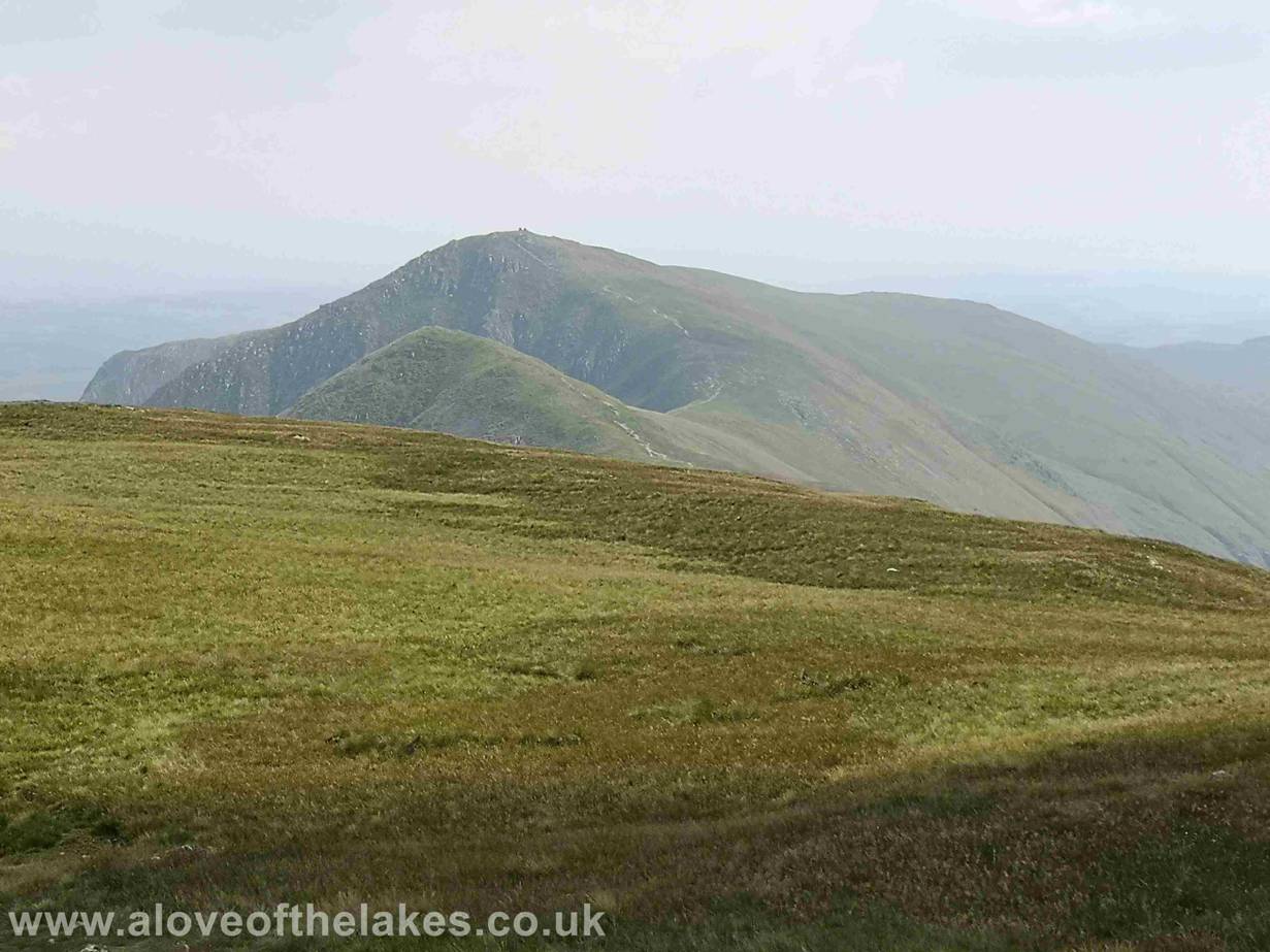
Thornthwaite Crag rising prominently on the left. Its impossible to get lost following this track
Looking back to Gray Crag just under a mile and a half
away
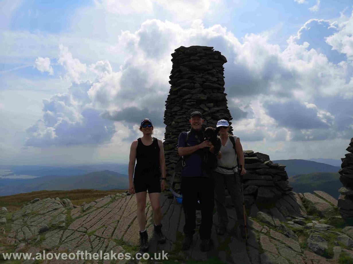
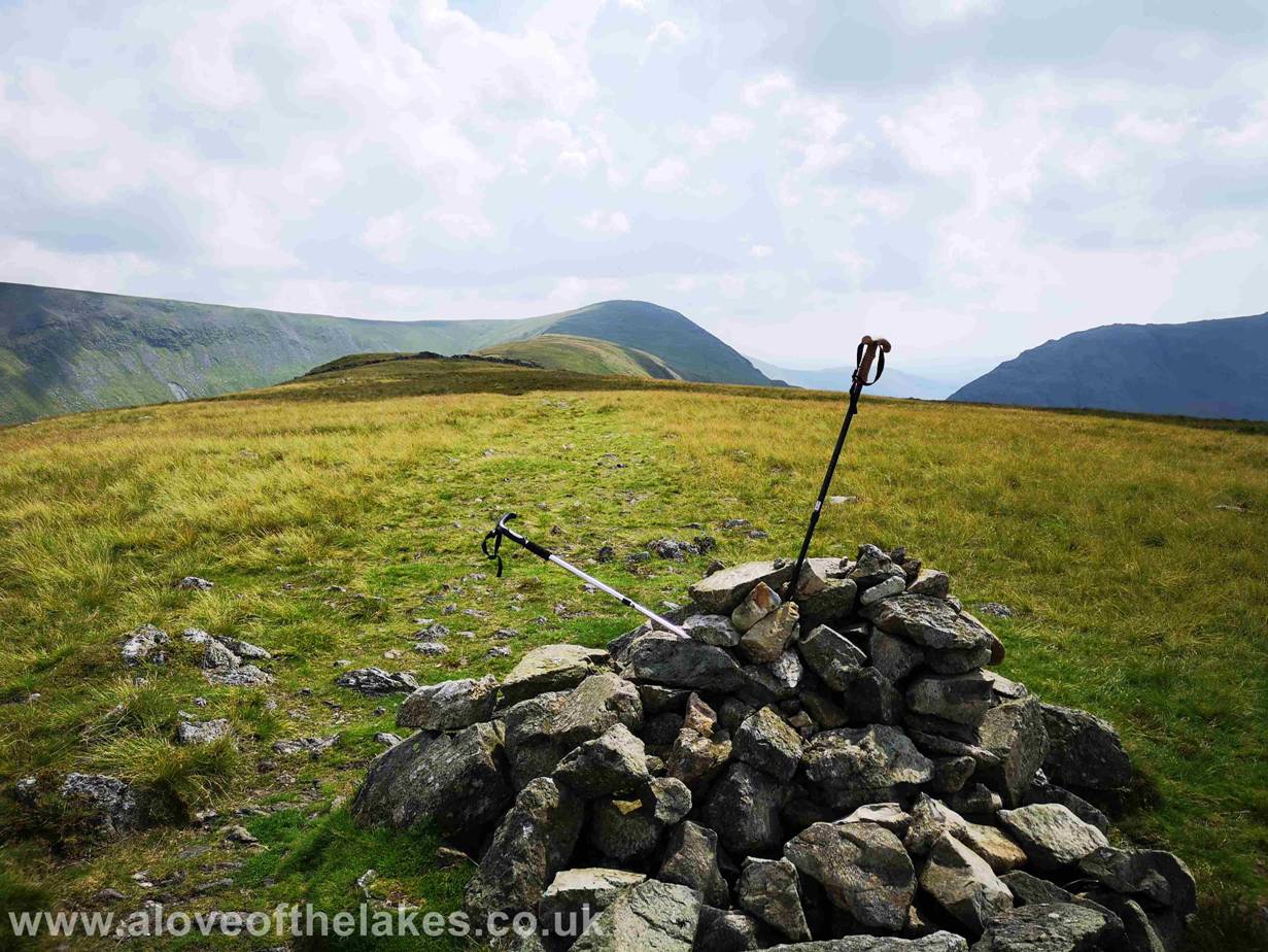
The summit cairn on Thornthwaite
Crag and in my opinion one of the finest in the region
Looking south towards to the ridge path seen
connecting the peaks of
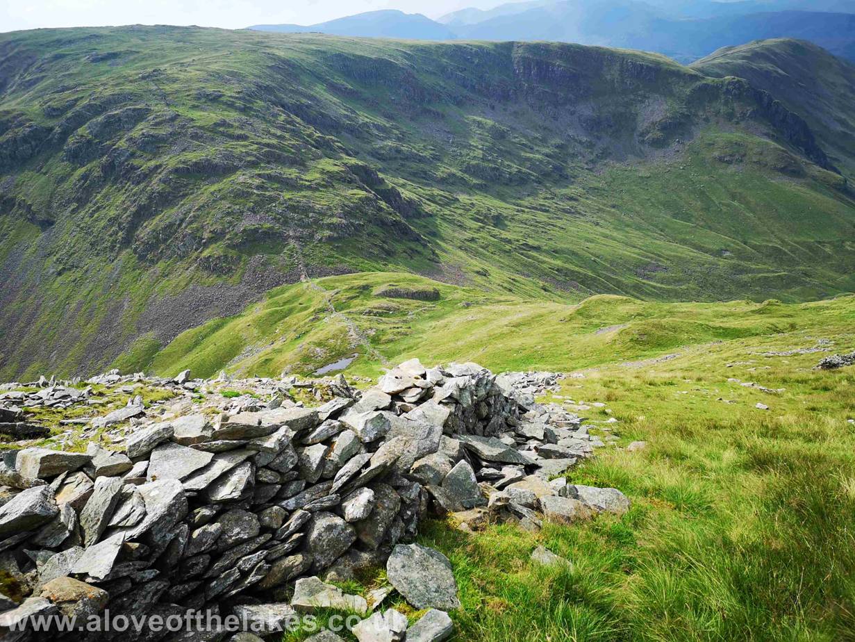
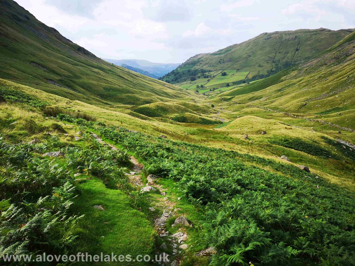
The return journey to Hartsop
takes the very steep descent to the bottom of
The descent path is not only steep but across loose scree so a little care is required
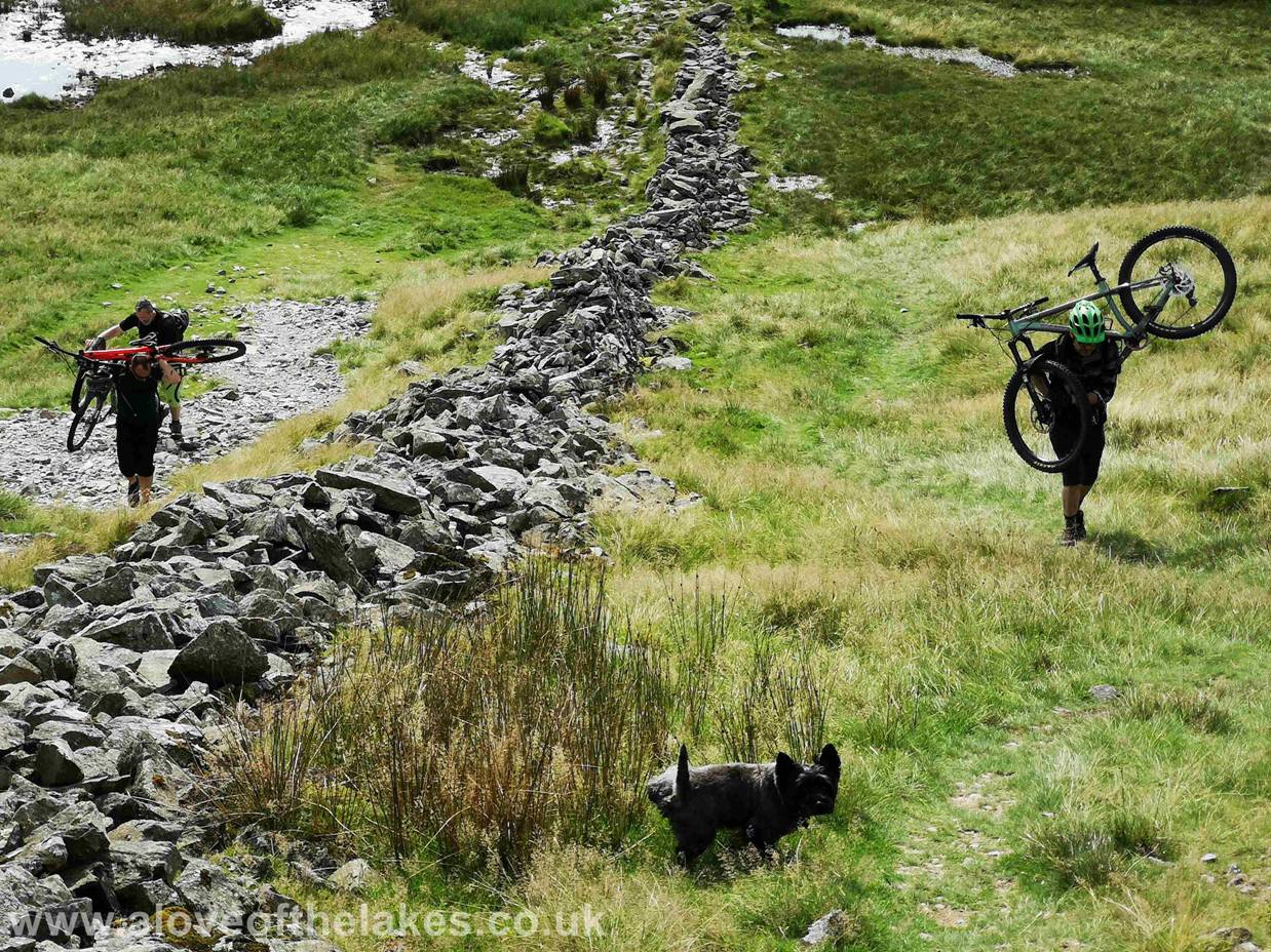
Mad dogs and English men go out in the midday sun.
Even madder ones decide is a good idea to carry 40lbs worth of Mountain Bike on
your shoulders in the name of fun ???
JtB is non too
impressed
Off the majority of the loose scree now and closer to the valley floor. Very
pleasant walking
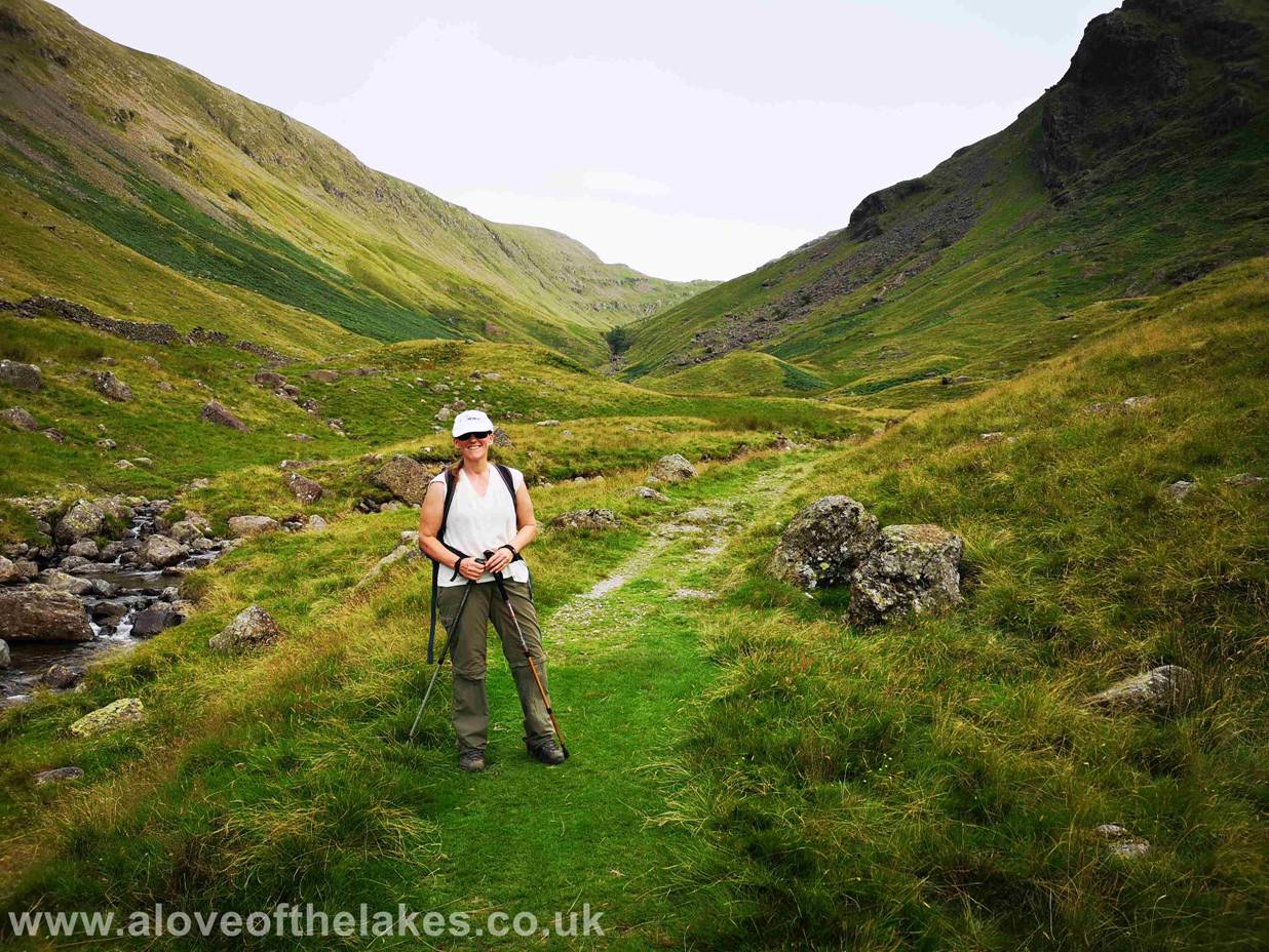
Sue feeling very happy to have got down in
one piece. Now its time for re-hydration therapy in The Lily Bar in Ambleside
!!!
Copyright © aloveofthelakes.co.uk 2011 - 2019