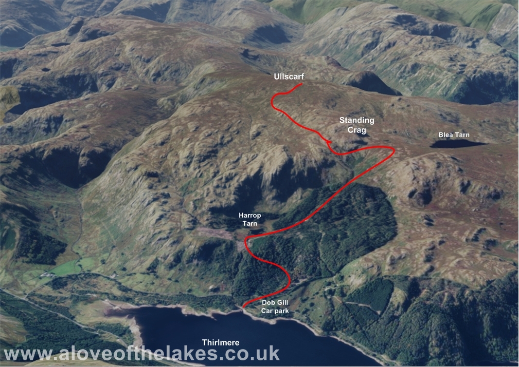
Walk : Ullscarf (2,370 ft), from Dob Gill Car Park, Thirlmere
Date : 12th June
2021
Weather : Low cloud, driving rain and high wind 15 °C
Distance : 5.5
miles round trip
Time Taken : 2 hour 20 mins to summit
Which
part of Lakeland is this walk situated
Terrain Overview
Overview
The most central
of all Wainwright Fells in
as we decided to climb this fell. What we
actually got was unfortunately the exact opposite. A dense layer of low cloud
at around 1500 feet
spoiled what was an eagerly anticipated walk and
made navigation extremely difficult with not having any landmarks to key on to.
For about
30 very ugly
minutes we got lost and confused whilst trying to relocate Standing Crag on our
way back down.
From Ambleside, take the A591 past
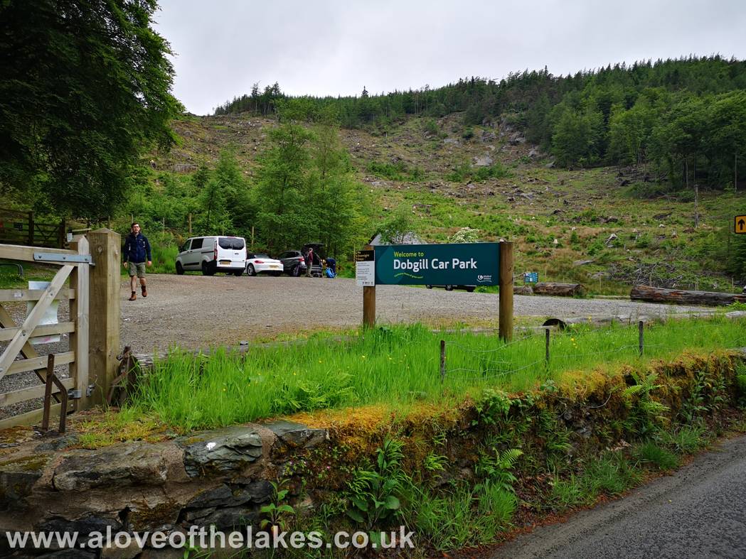
Dob Gill
Car park which is the starting point for this walk
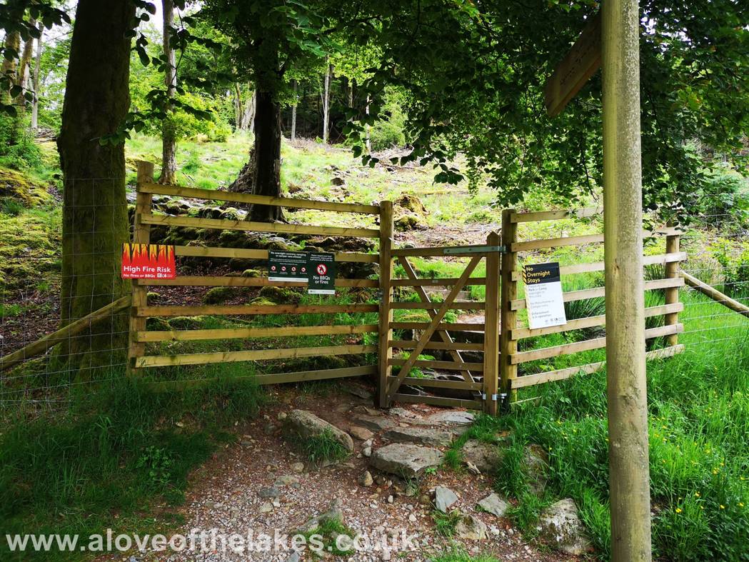
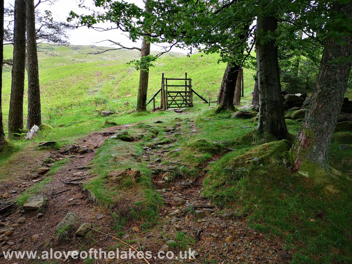
From the car
park take the gated exit that leads steeply upwards towards the forest
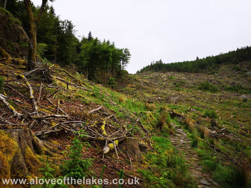
For a large
portion the track is stone pitched through the forest area and in damp
conditions like today the rocks can be slippy
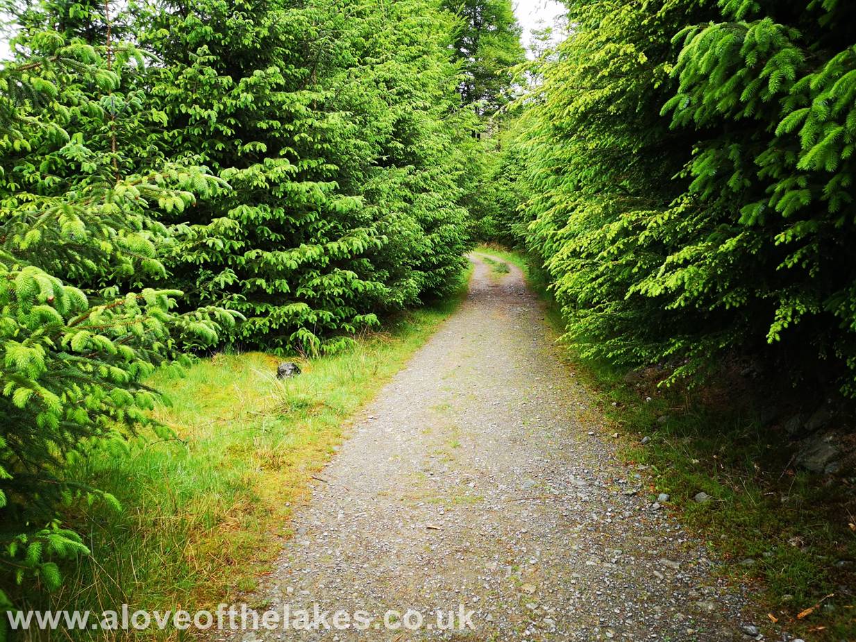
The track levels
off a little on the approach to Harrop Tarn
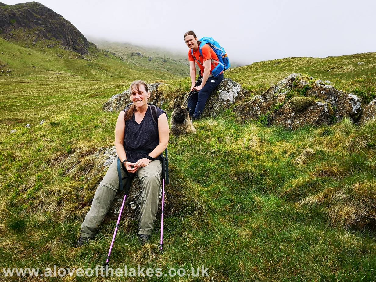
Harrop
Tarn. After we had got down from our climb later on in the day we had the great
pleasure of meeting Lisa from Stavely with her dog Molly.
Lisa had just finished work
and had parked up at Dob
Gill at a time when it was lashing down. When I asked if she was going up to
the summit, she informed me that she was going for a swim in the
something that she does frequently. We chatted for
some while and it was really nice to exchange stories at the end of our walk.
Certainly a beautiful place for a swim
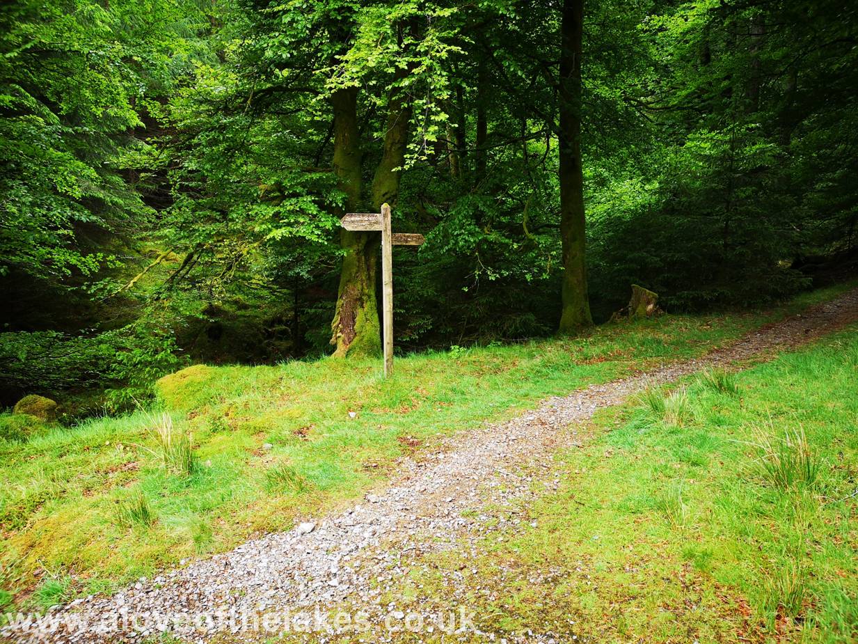
On with the walk
though and soon after passing the
We travel on a
well defined path through more forest until a hand gate gives access to the
open fell side
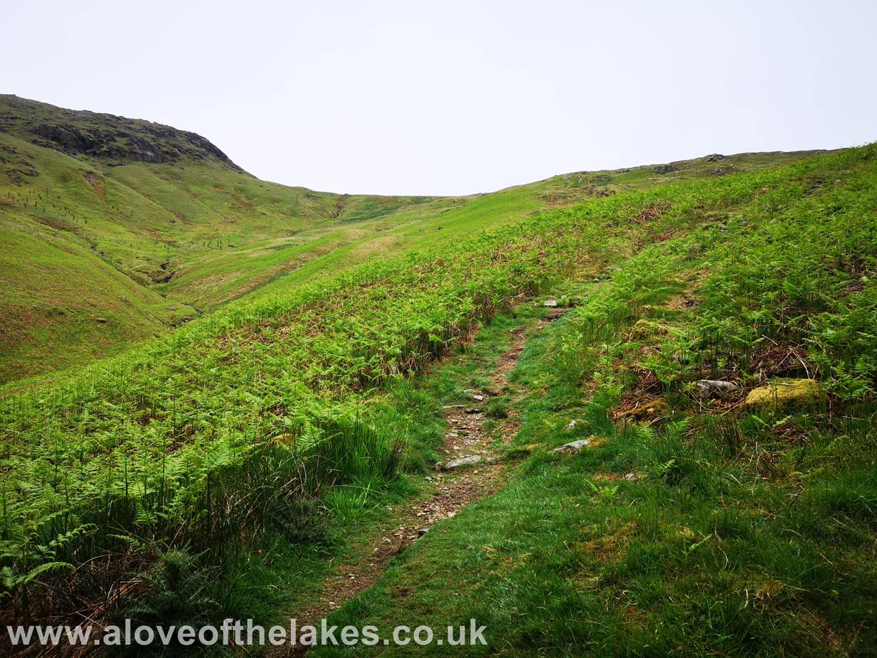
Through the gate
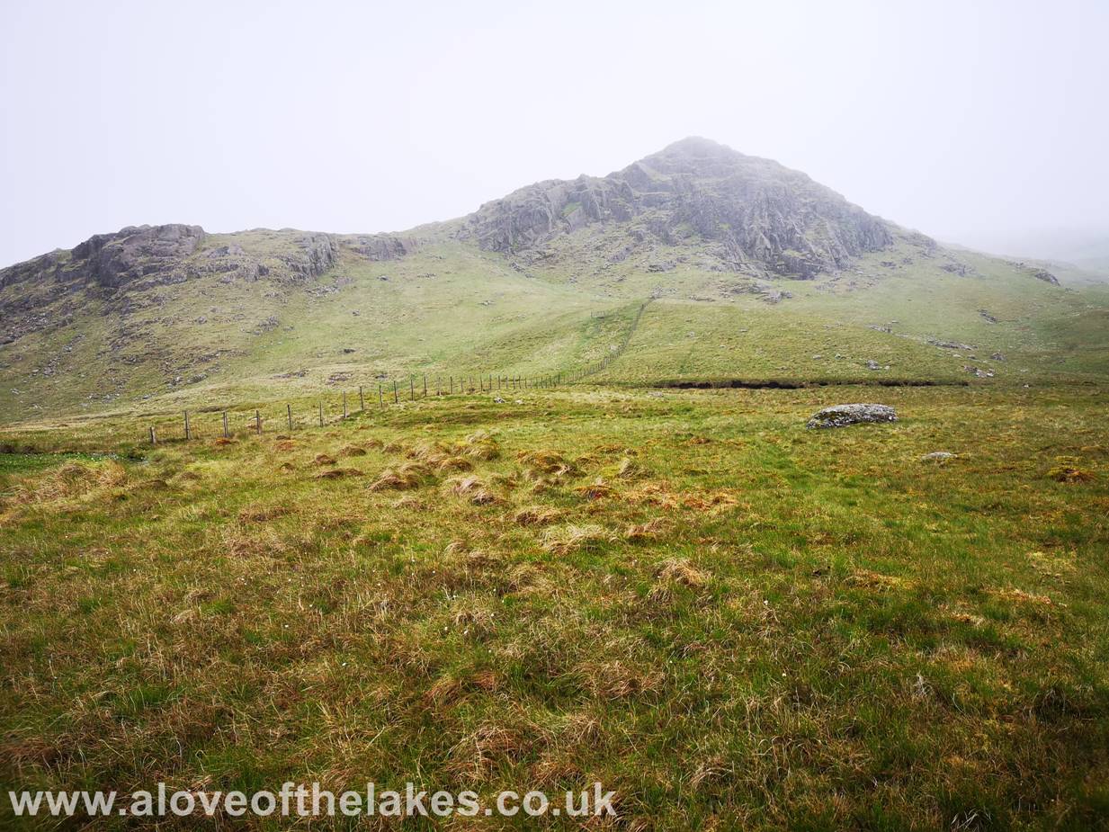
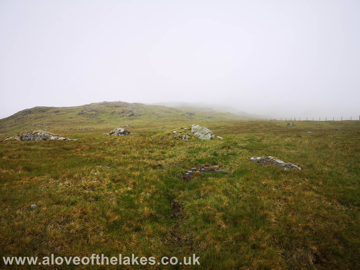
a clear path climbs up to the ridgeline heading towards Standing Crag
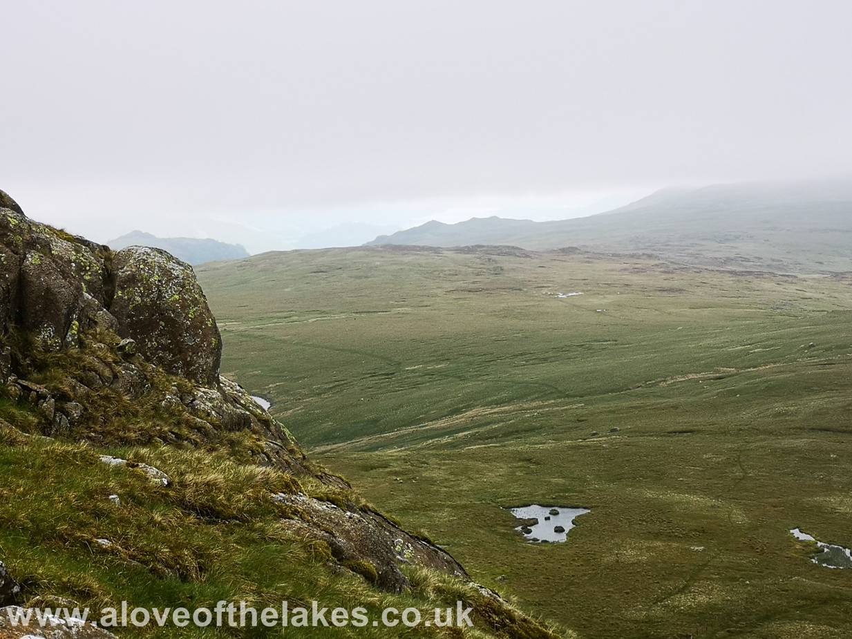
Standing Crag
from the track
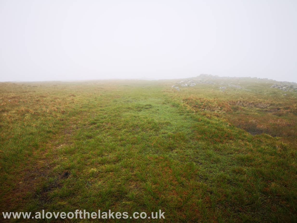
The layer of
mist that was to mar the rest of the walk
A brief pause
before we reach the ridge line

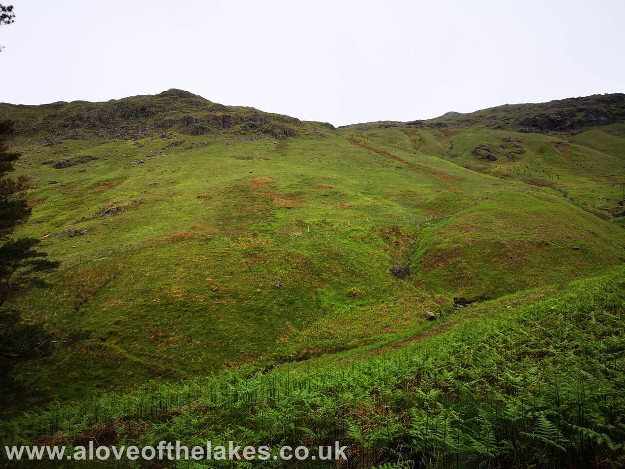
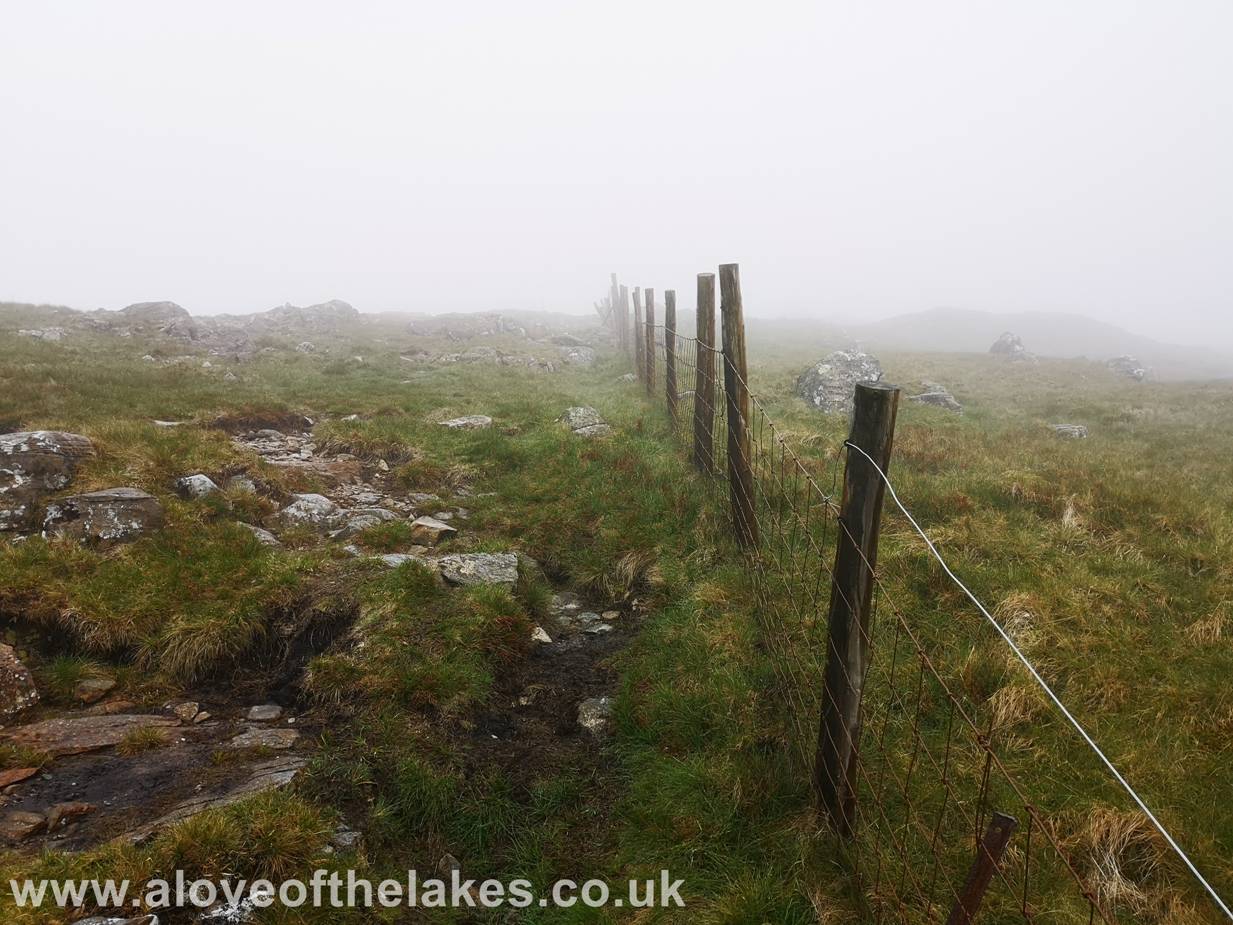
On gaining the ridge
line keep on the track has it heads towards a fence line and a gate
Through the gate
and turn left and follow the fence line over rough grass towards Standing Crag.
The obvious grass rake to the left of the Crag is the route to chose
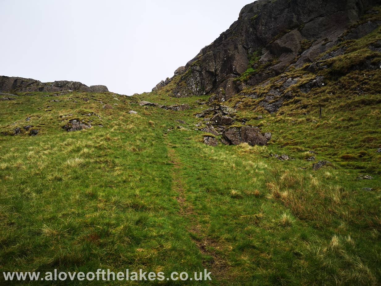
The path climbs
steeply
At the top of
the rake and at this point we run in to driving rain and no visibility what so
ever
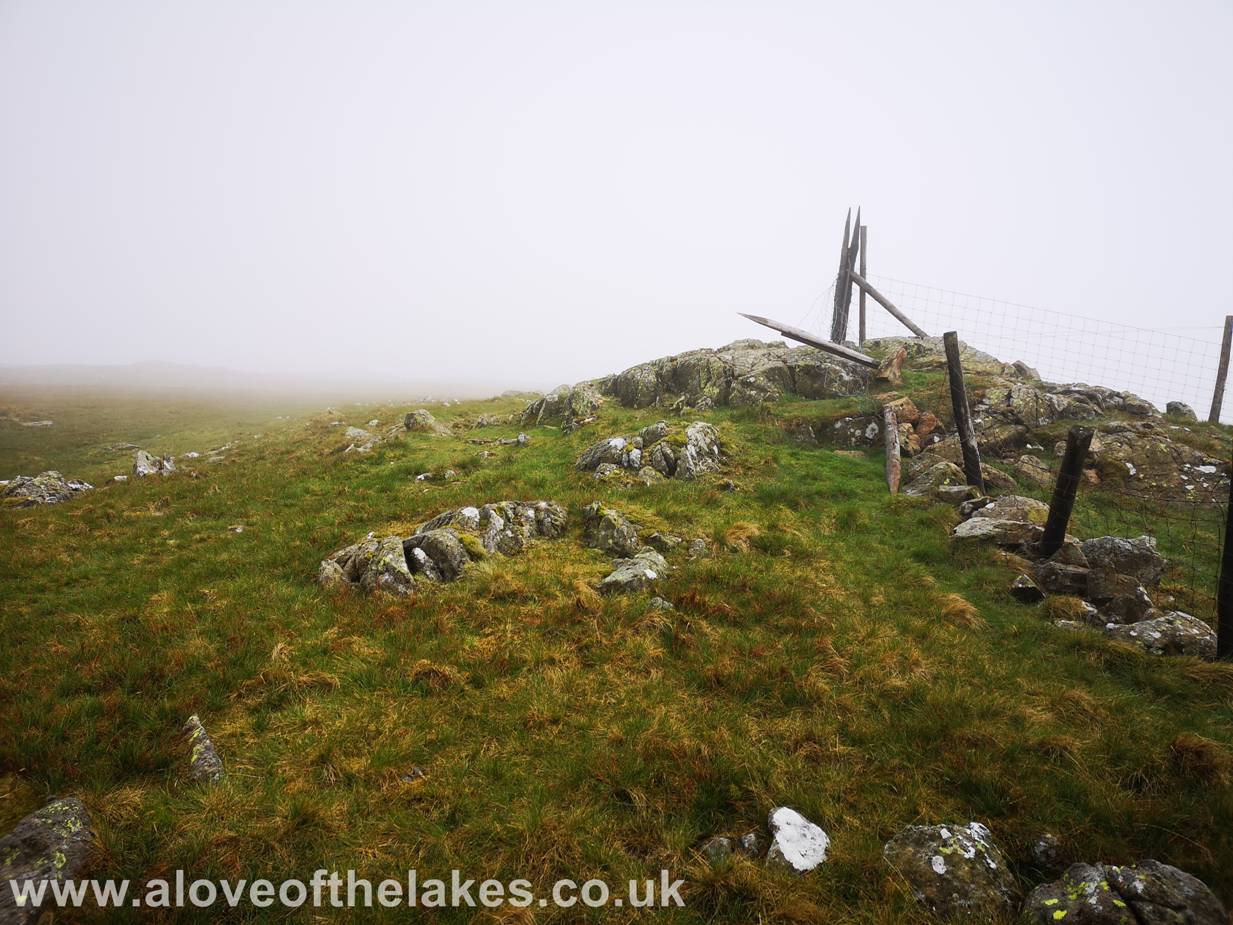
The fence line
is the key especially in such poor visibility to assist with navigation follow
it to its very end.
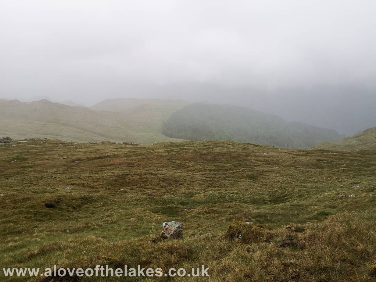
For the largest
part there is a beaten path to follow
Note well the
end of the fence, at this point you are probably
around ten minutes to the summit over fairly even ground. The only markers from
here on is a number of
iron posts belonging to and old fence line
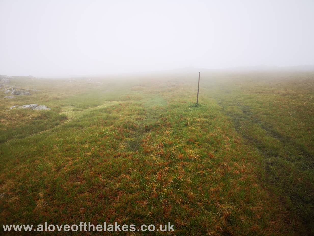
Under normal
conditions it would be fairly easy to follow these post,
but conditions today proved more tricky
Approaching the
summit

Eventually and
thankfully the summit cairn comes in to view
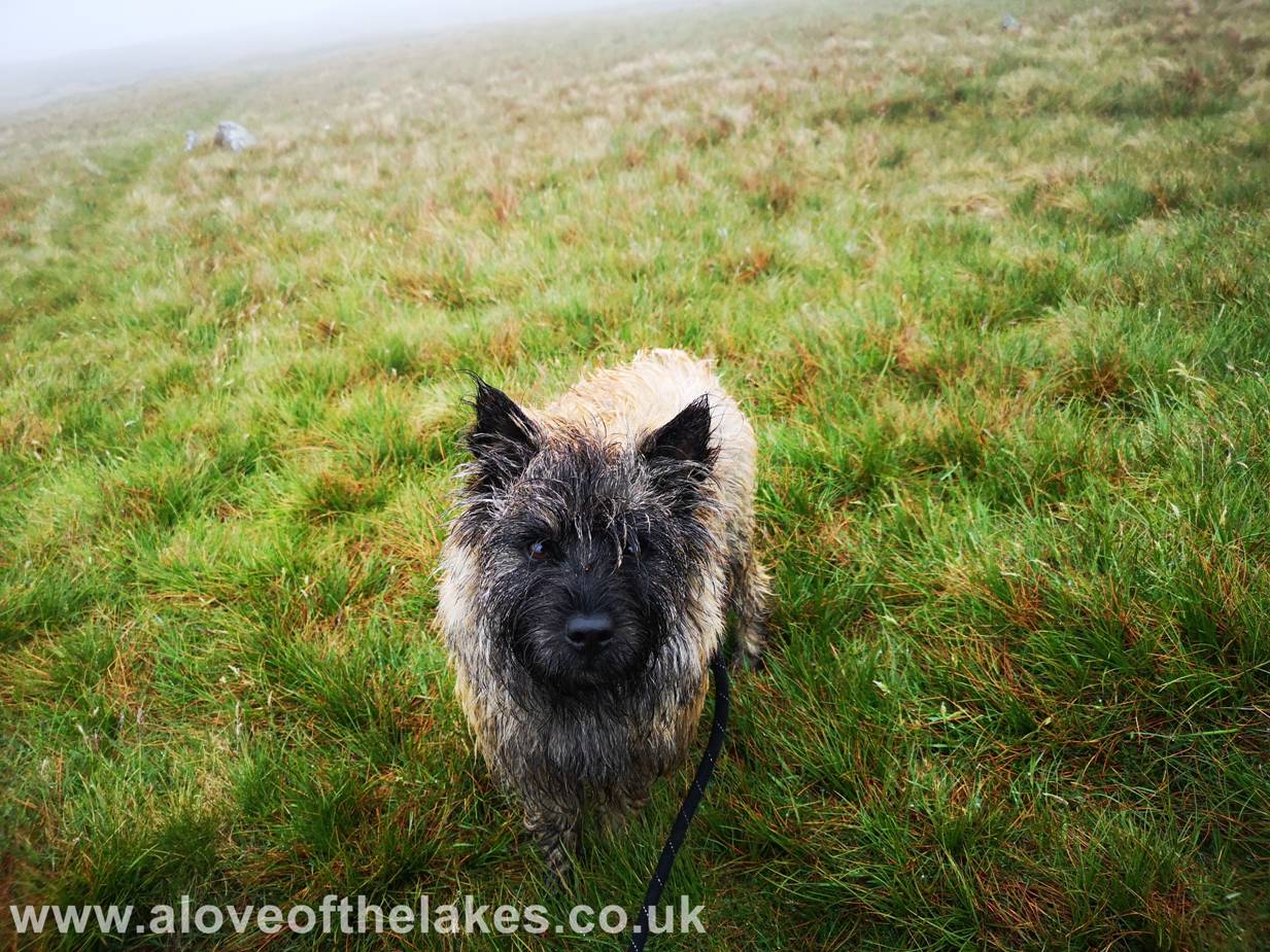
A bedraggled
(and probably pissed off) Spud on the summit of Ullscarf
… Click here for a waste of 10 seconds for a 360 degree view … https://youtu.be/DS2iu4fYlzA
In this picture
you should be able to see the Helvellyn range L
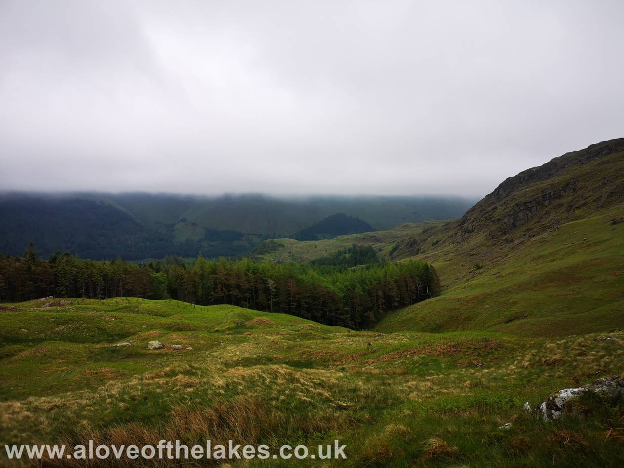
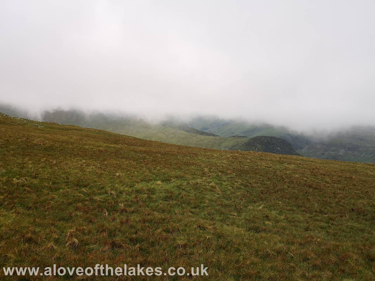
This picture
(taken from the return route) is near the top of Standing Crag where we could
just about see the forest that we initially climbed through
Returning via the
grass rake down the side of Standing Crag
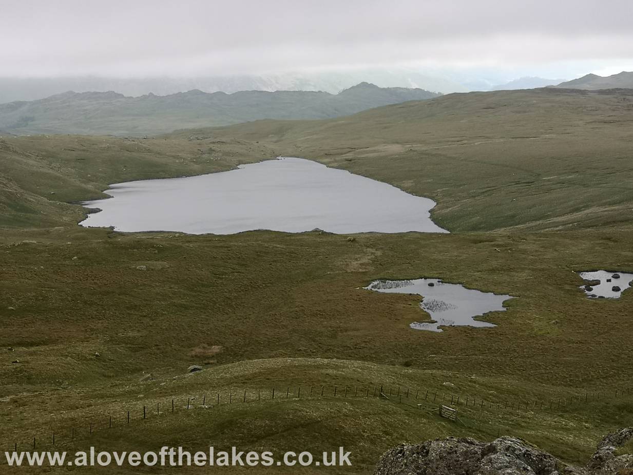
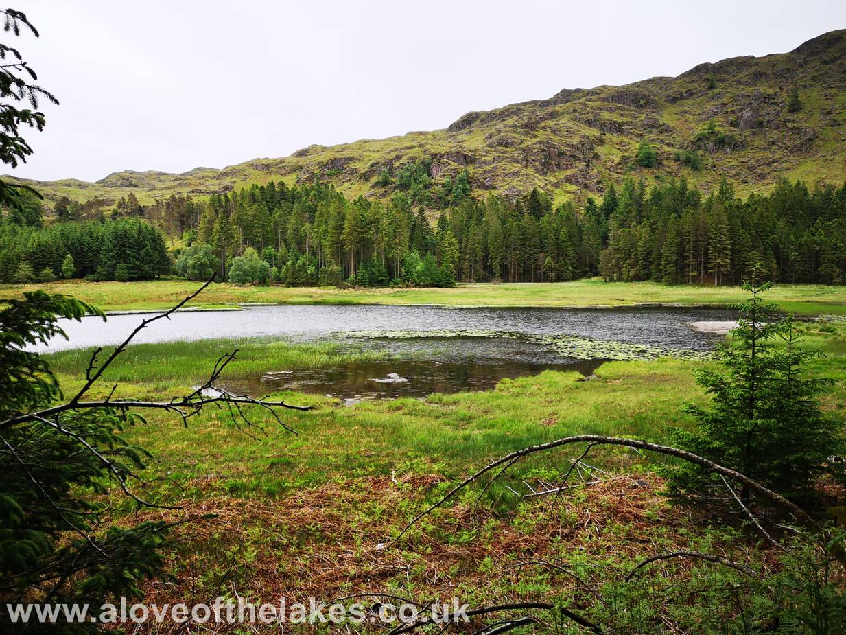
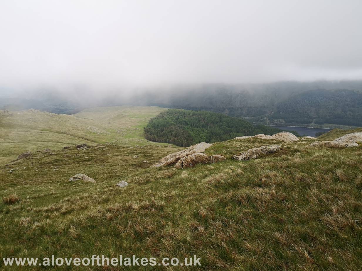
Blea
Tarn from Standing Crag
Copyright © aloveofthelakes.co.uk 2011 - 2020