Walk : Kirk Fell
(2,630ft) from Wasdale Head via Beck Head
Date : 15th July 2021
Weather : Cloudless blue sky, hot sun @ 24 °C
Distance : 6.5 miles round trip
Difficulty : 3 to 4 – A steep pull up scree with a moderate
scramble up Rib End
(1=easy 5=hard)
Which
area of Lakeland is this walk situated?
Terrain
Overview
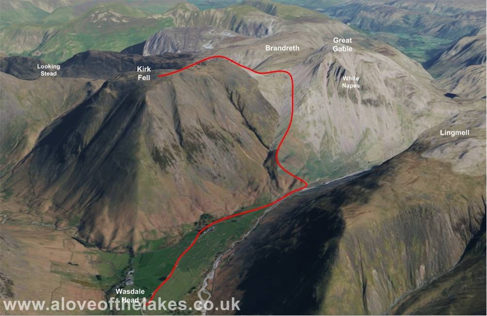
Walk
Overview
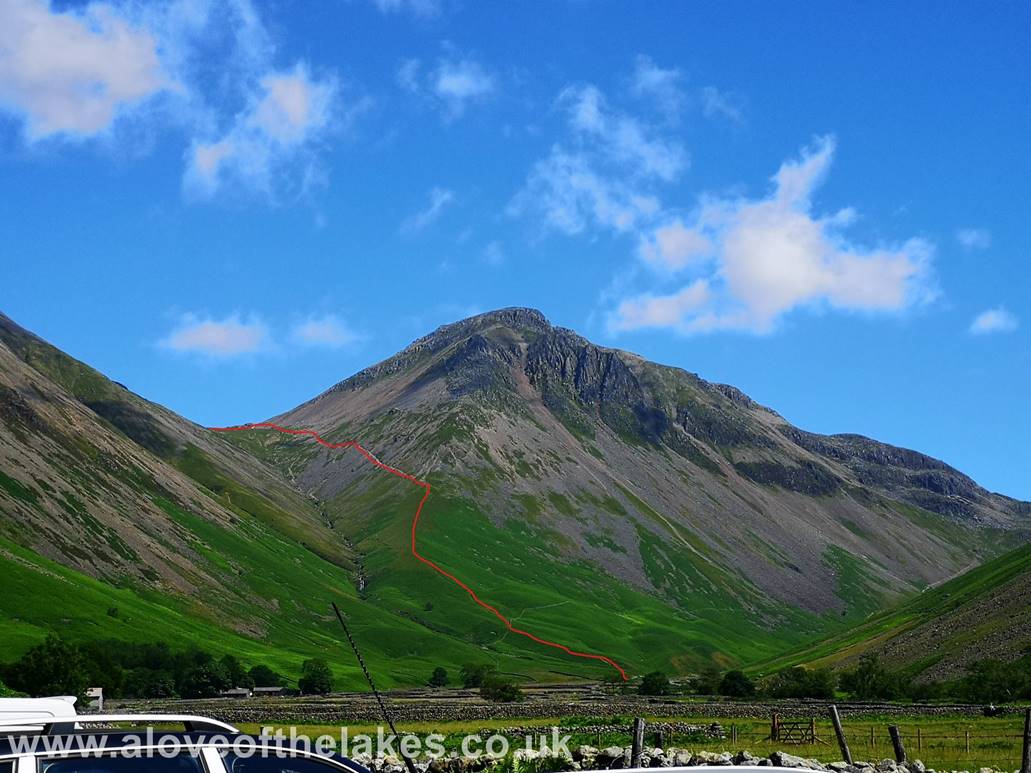
AW noted in the Kirk Fell section of
Book 7 that the climb directly up the nose is the straightest and most direct
climb in
Lakeland and also the
this potential way of ascent up
close and
like today, it was not surprising
that we didn’t see anyone attempting
to reach the summit … via the flank
of Gavel Neese (on Great Gable) to Beck Head and then
or via the
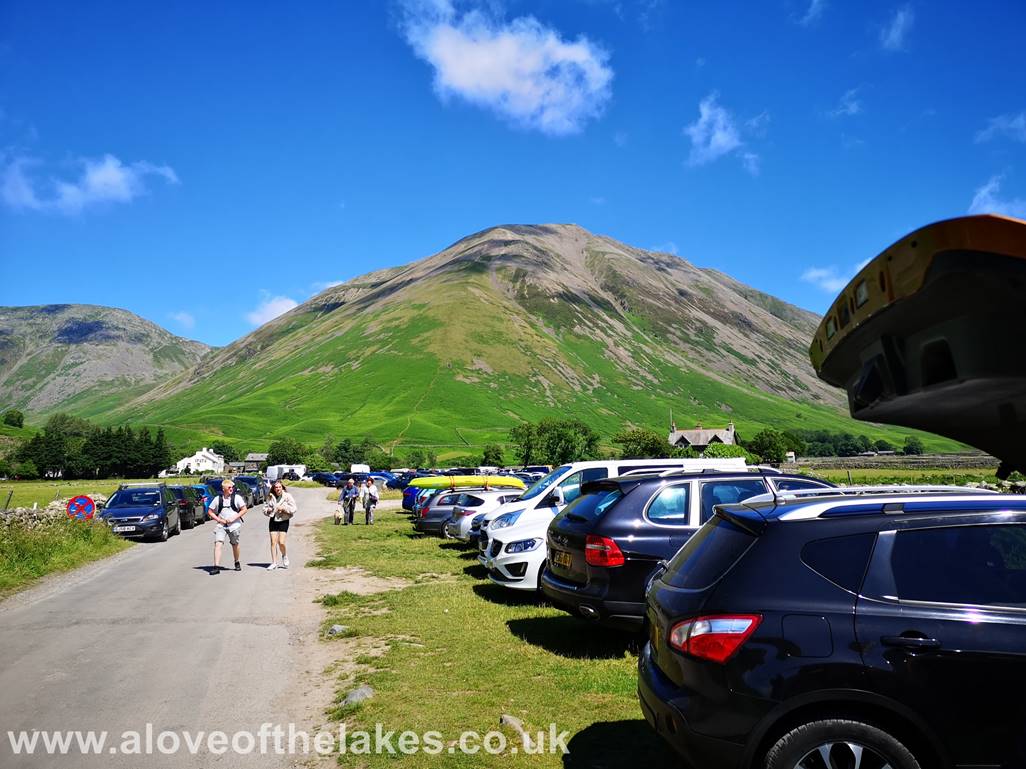
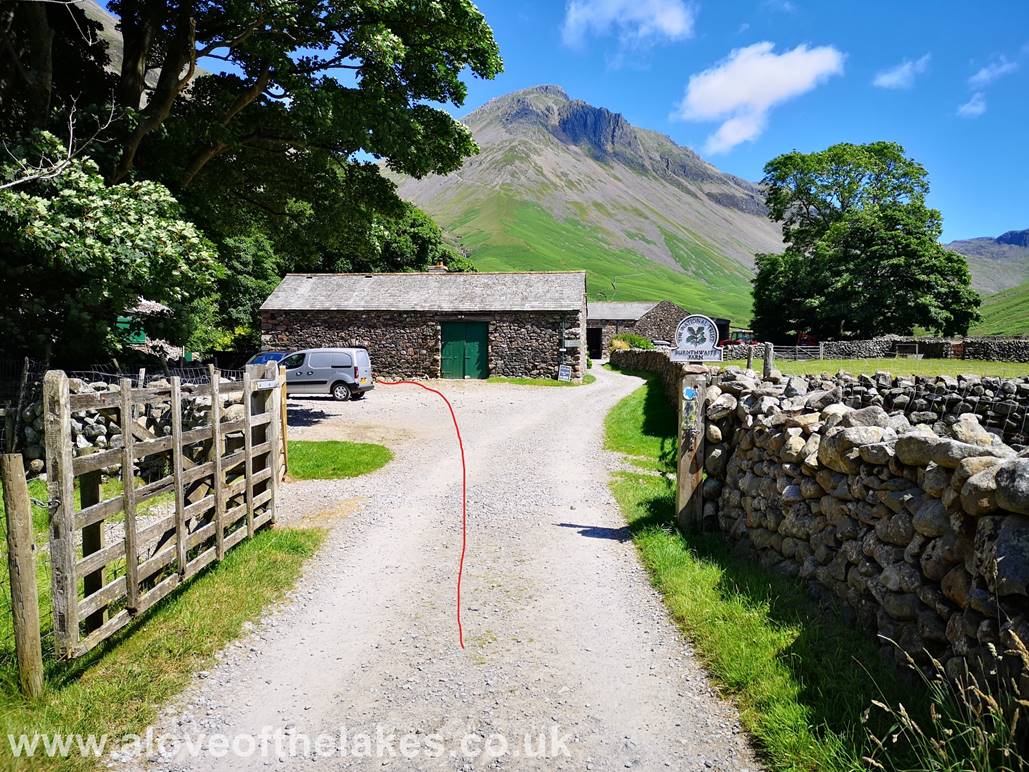
The free car parking just before
you reach the
in weather like this
approach road can be used. Kirk Fell
strenuous. Wait until you get
closer before deciding to
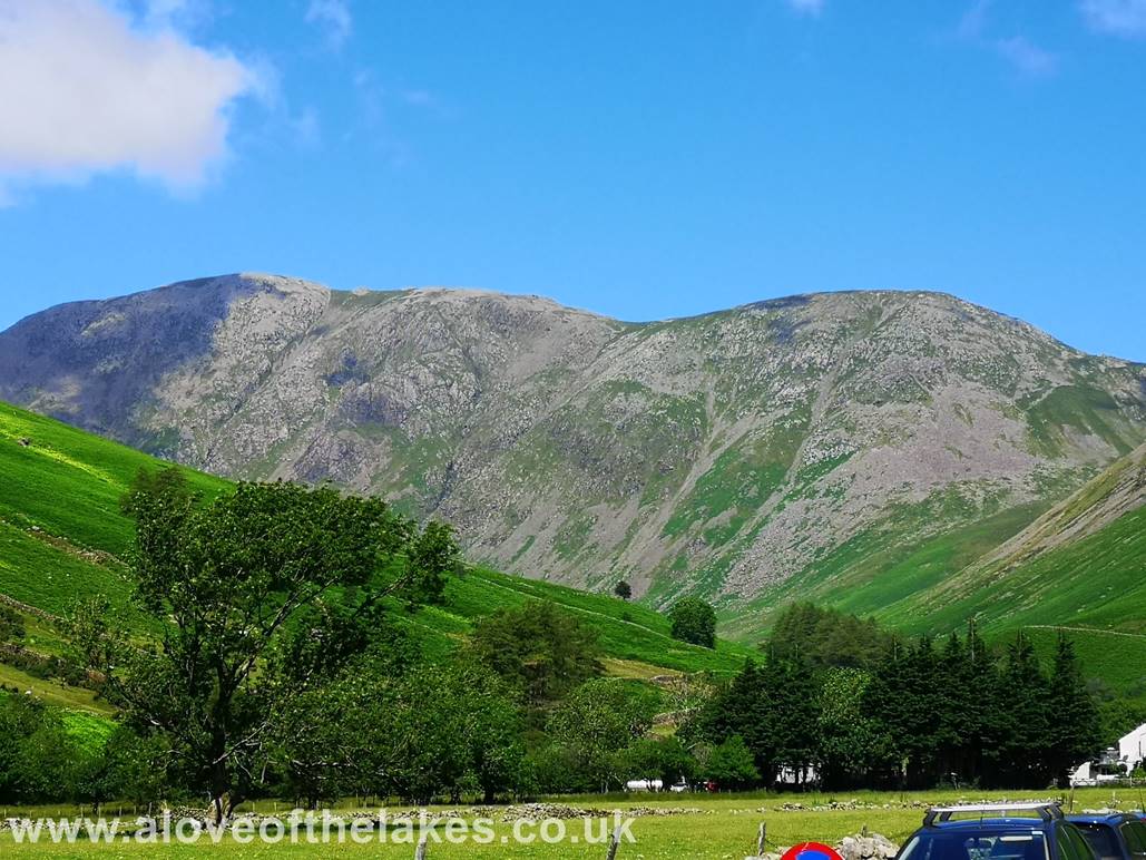
As we walk towards the
Beck Head is shown
Looking towards Pillar from the track
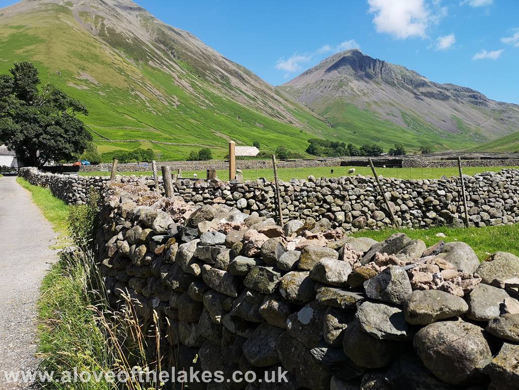
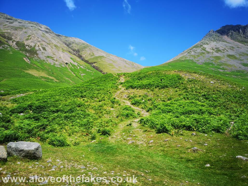
From the car park keep right past the
Following the track towards St Olafs Church
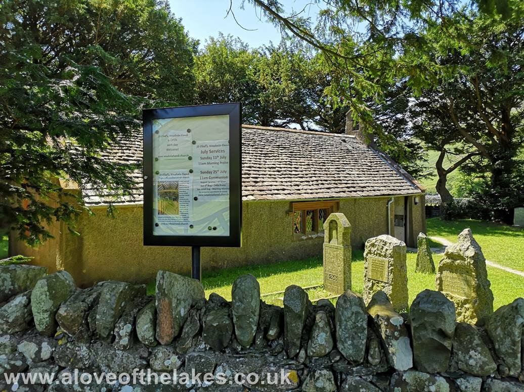
St Olafs Church
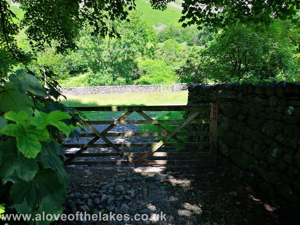
Past the Church and turn left through the hand
gate to get on to the track that leads to Burnthwaite
Farm
Heading towards Burnthwaite
Farm
Looking across to the steep face of Stirrup
Crag on Yewbarrow and Red Pike
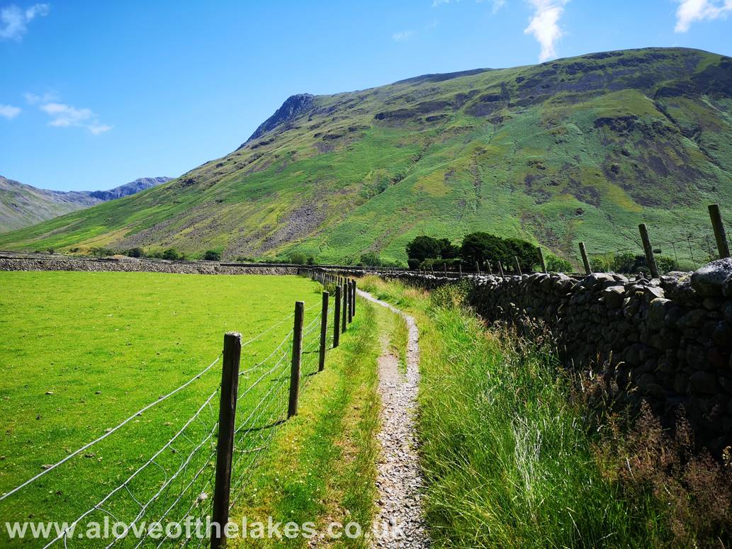
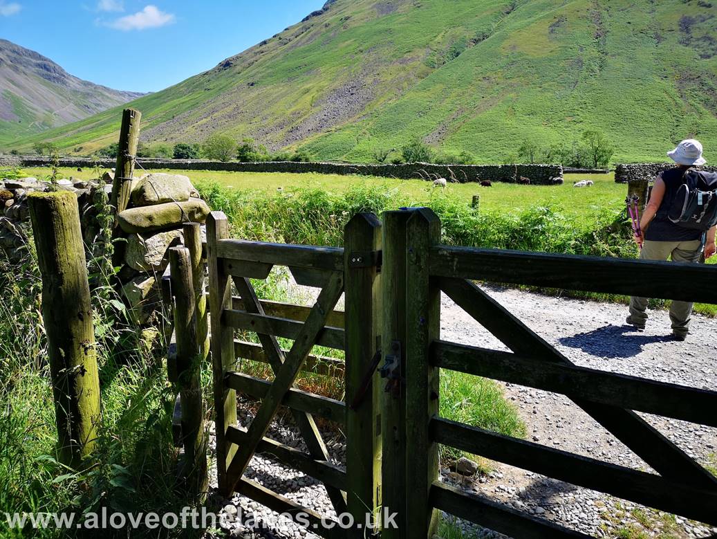
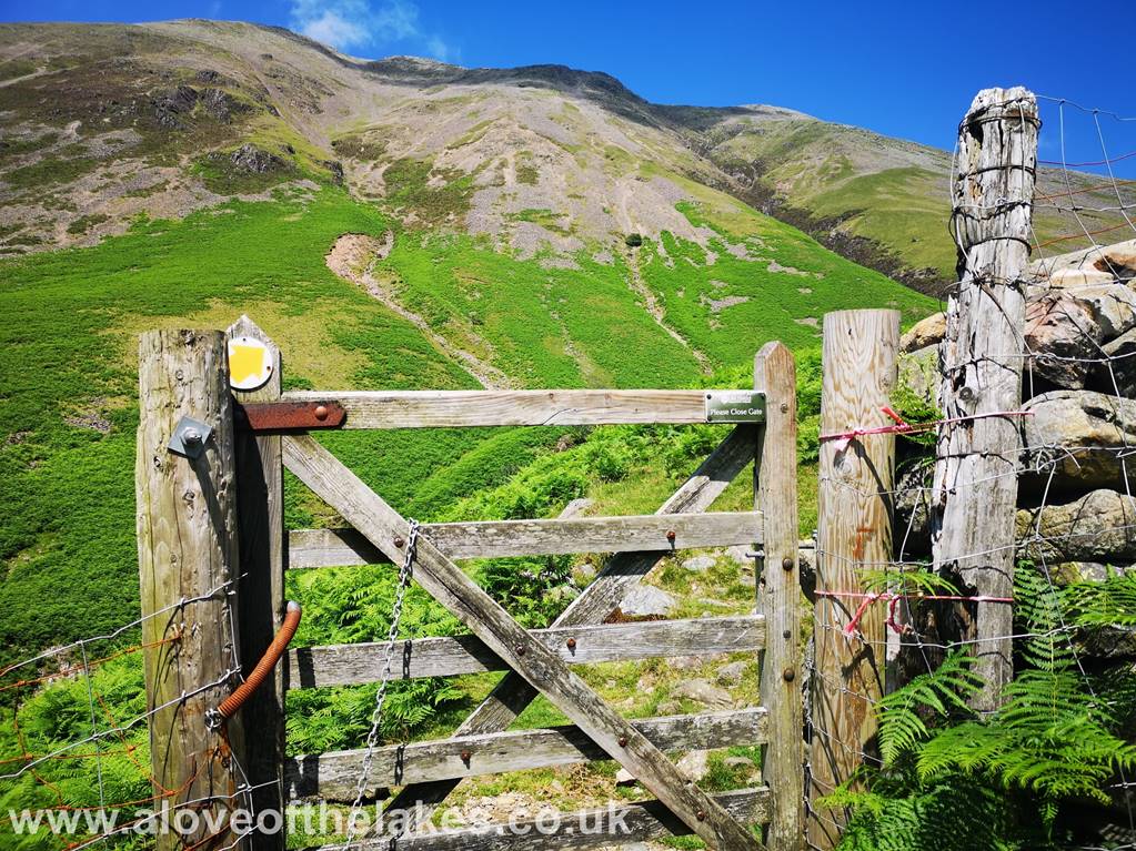
Passing through Burnthwaite
Farm and keep left as indicated to walk through a hand gate that gives access to
the open fell side
Through the gate and turn right
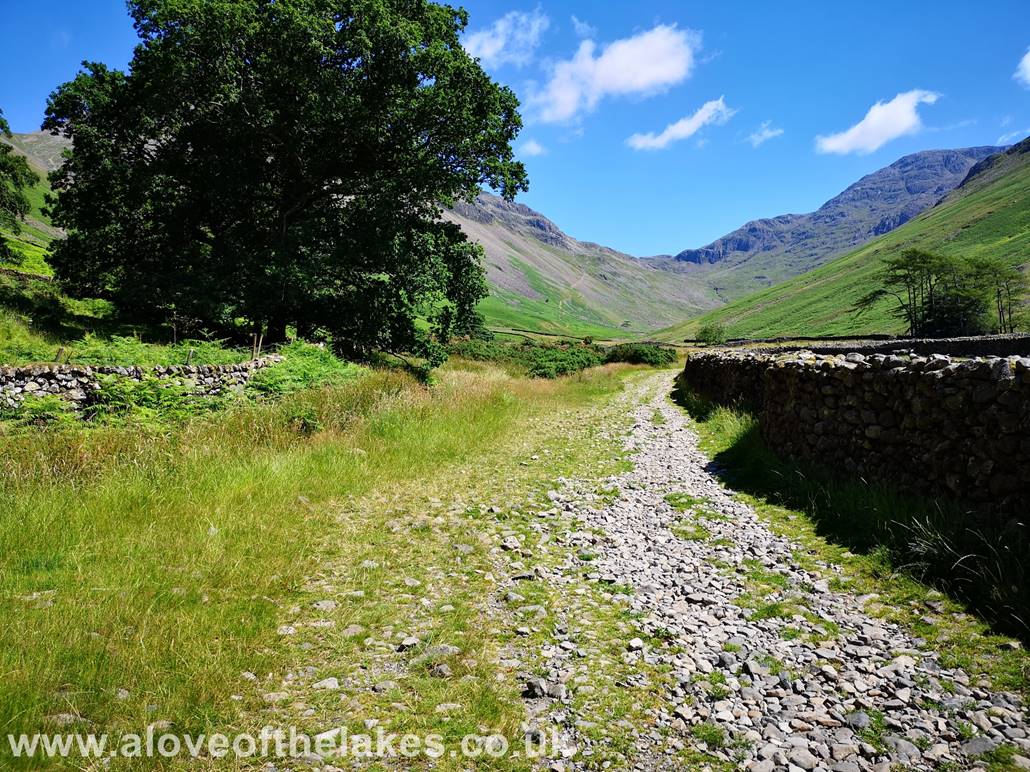
The path heads out towards a footbridge that
crosses Gable Beck
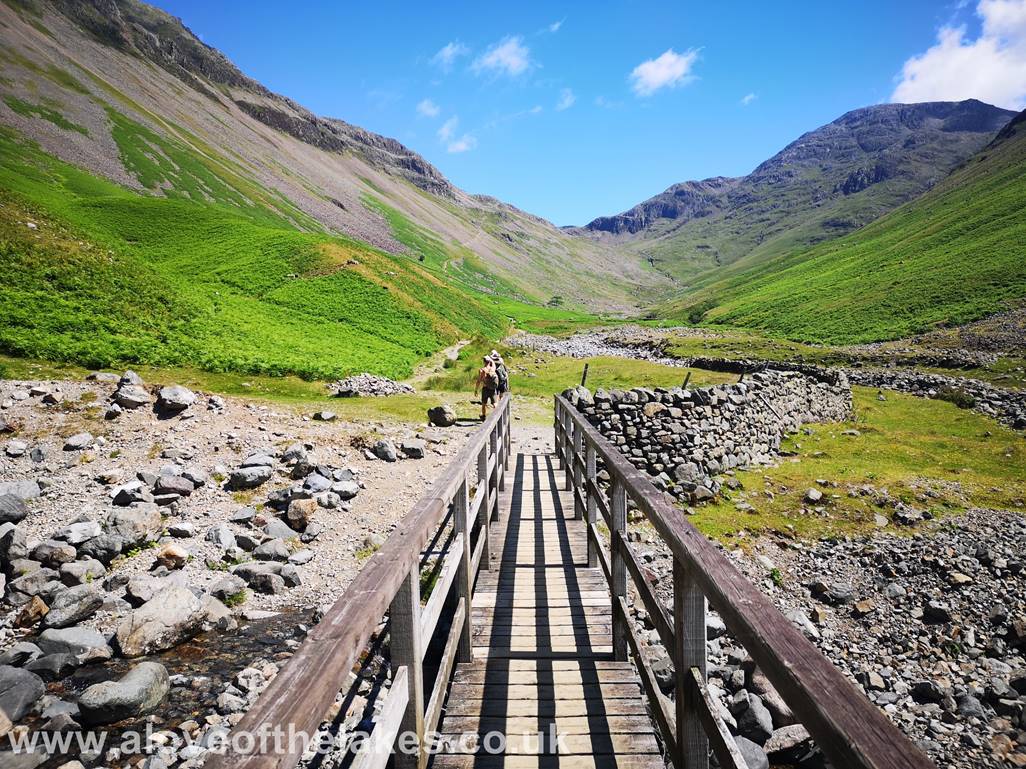
Crossing Gable Beck and keep left to get to the
obvious path that climbs Gavel Neese
The start of the steep climb up
Gavel Neese
Through a hand gate in the retaining wall and
turn right
The path up to Beck Head skirts the base of the
White Napes on Great Gable
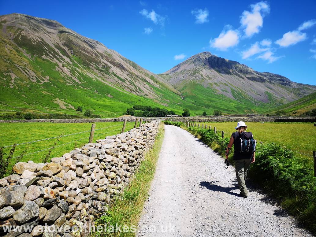
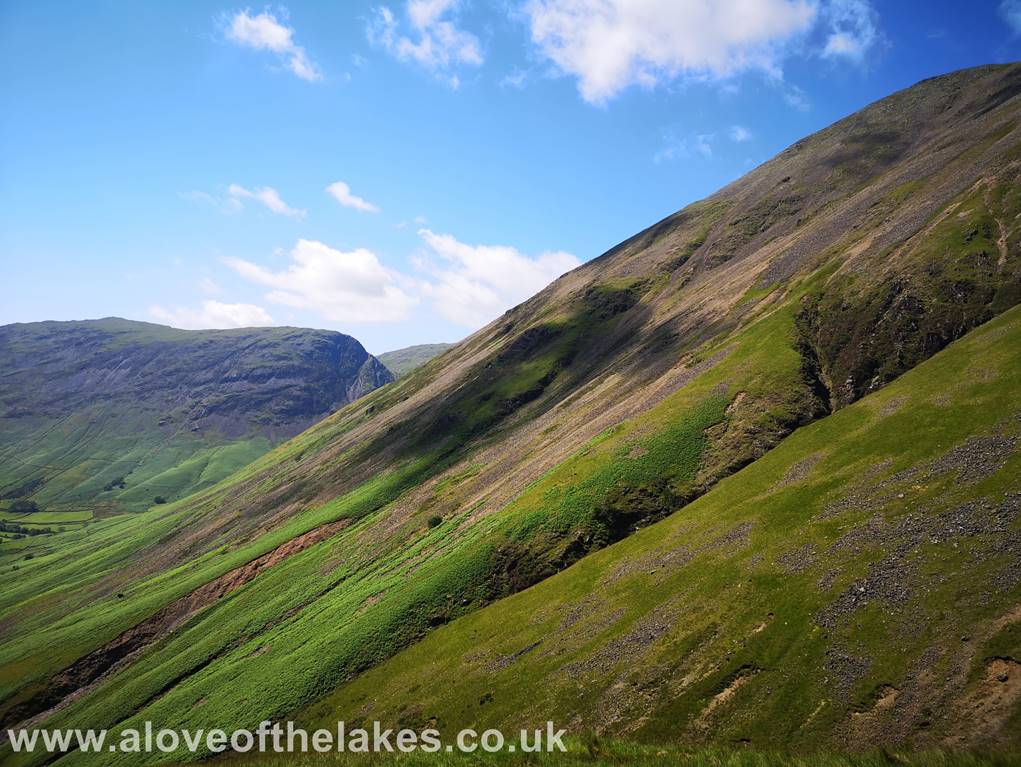
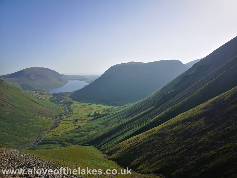
Looking back to Wast
Water from the path
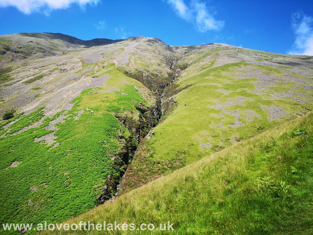
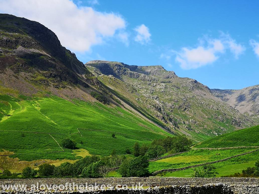
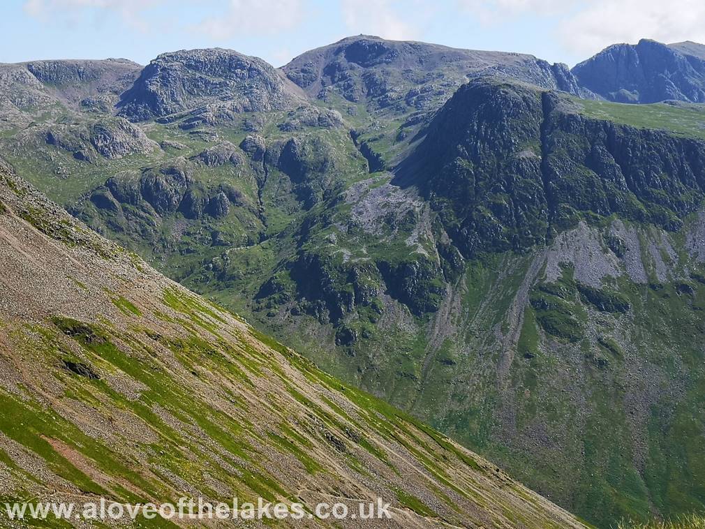
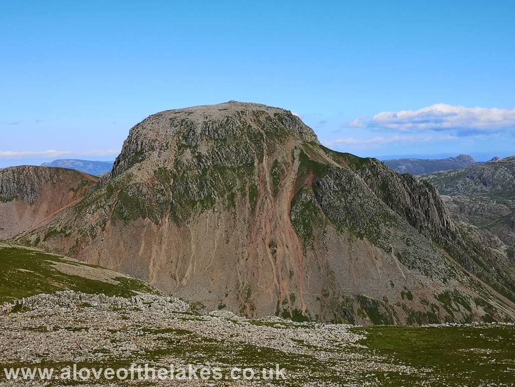
The steep Eastern flank of Kirk Fell scarred by
the trough of Ill Gill
I started off saying at the beginning of this
blog about the nose of Kirk Fell being steep.This
shot displays just how steep
The climb up Gavel Neese basically
comprises of 2 parts, the very steep grass path at the start followed by the
steep scree
path. Fortunately, the
Looking East across to Broad Crag and Lingmell
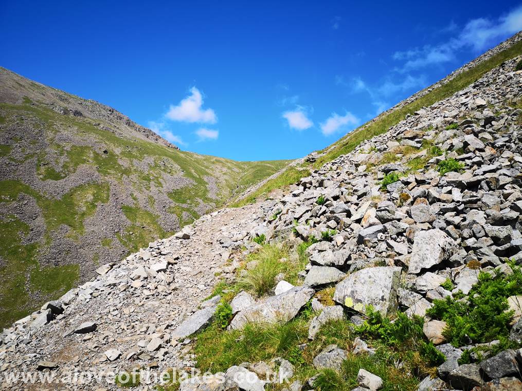
We now reach the scree section of
the climb. Its steep and by and large non too slippy,
there are the odd
areas where a little care is needed
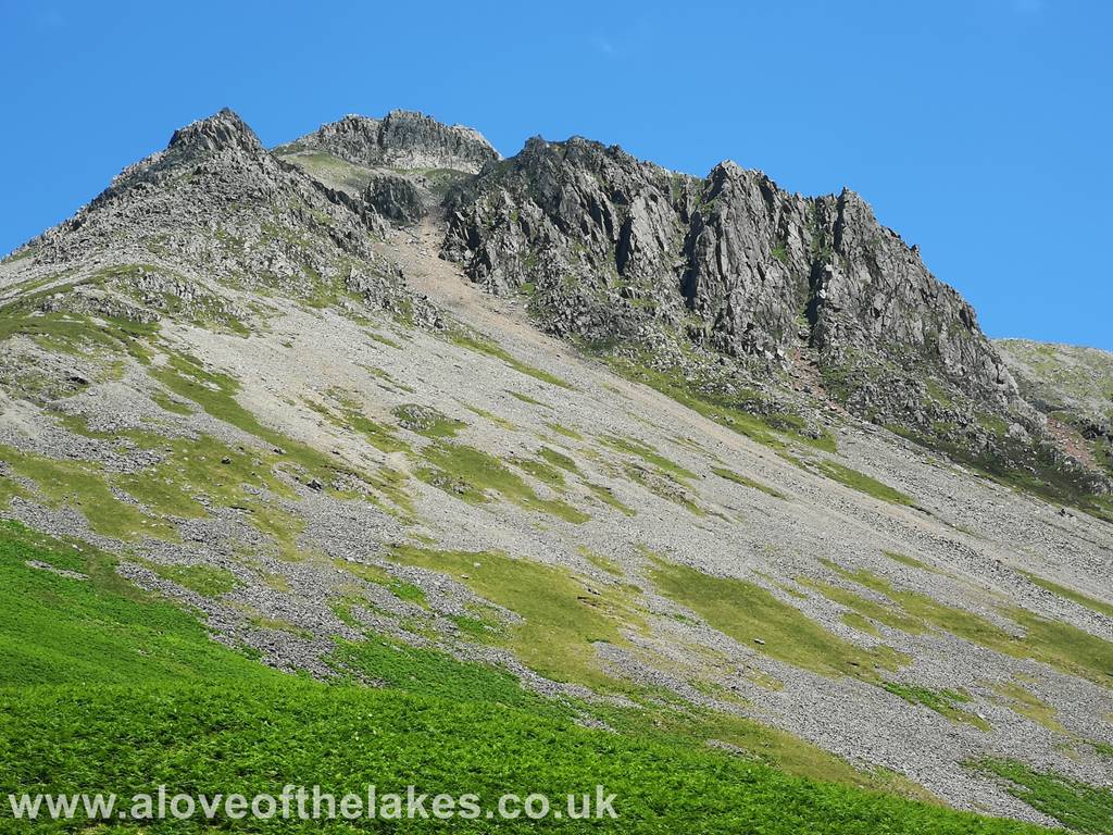
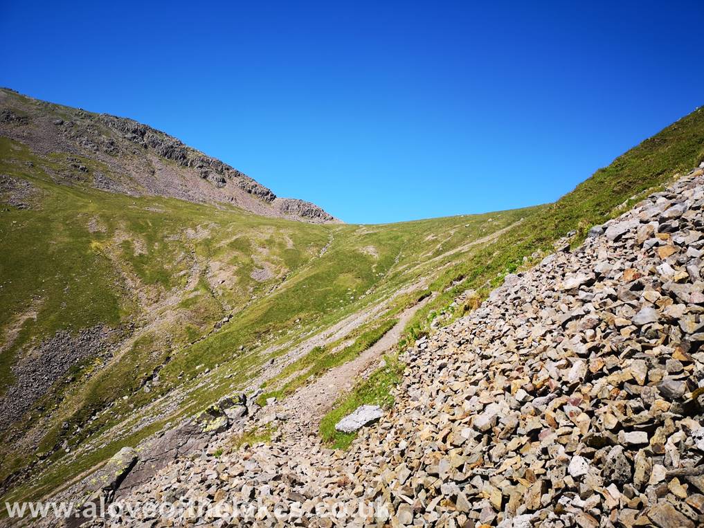
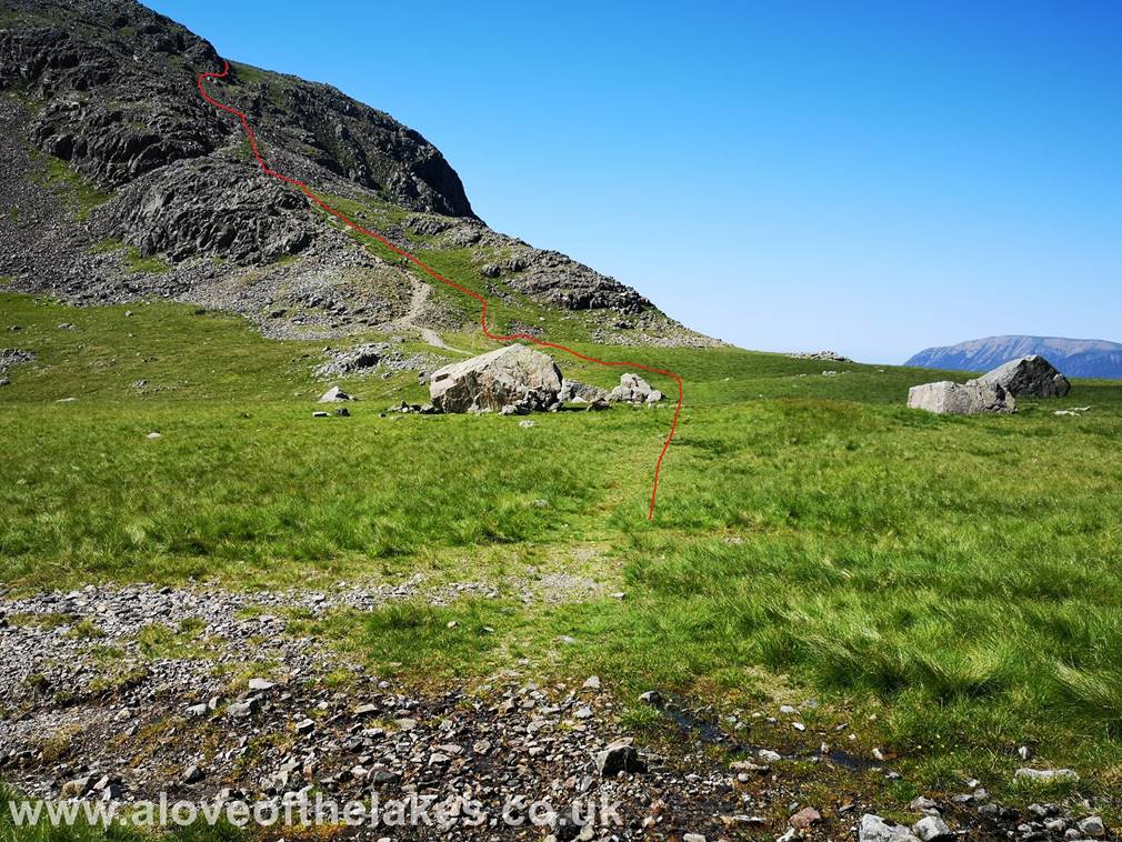
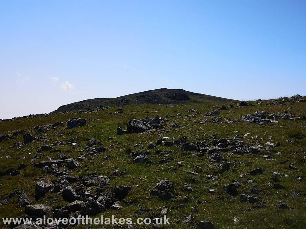
As Beck Head is
approached the scree path levels out a little. The route of ascent to Kirk Fell
via Rib End
is seen on the
left
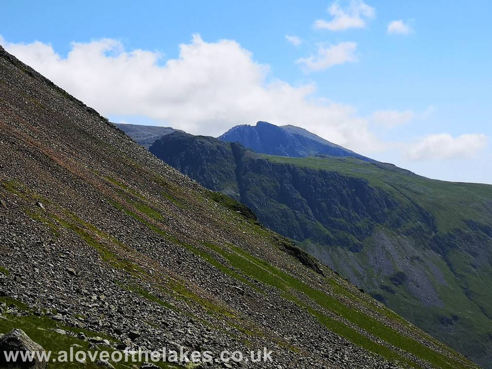
Looking over the
steep Southern flank of Great Gable across to Scafell and Lingmell
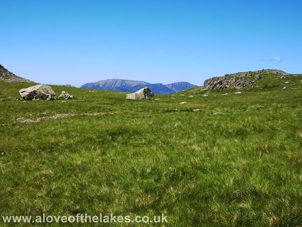
We reach the col
at Beck Head and the North Western Fells peep over the horizon
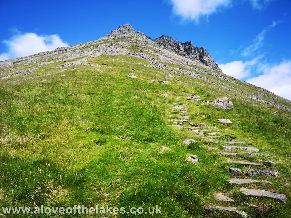
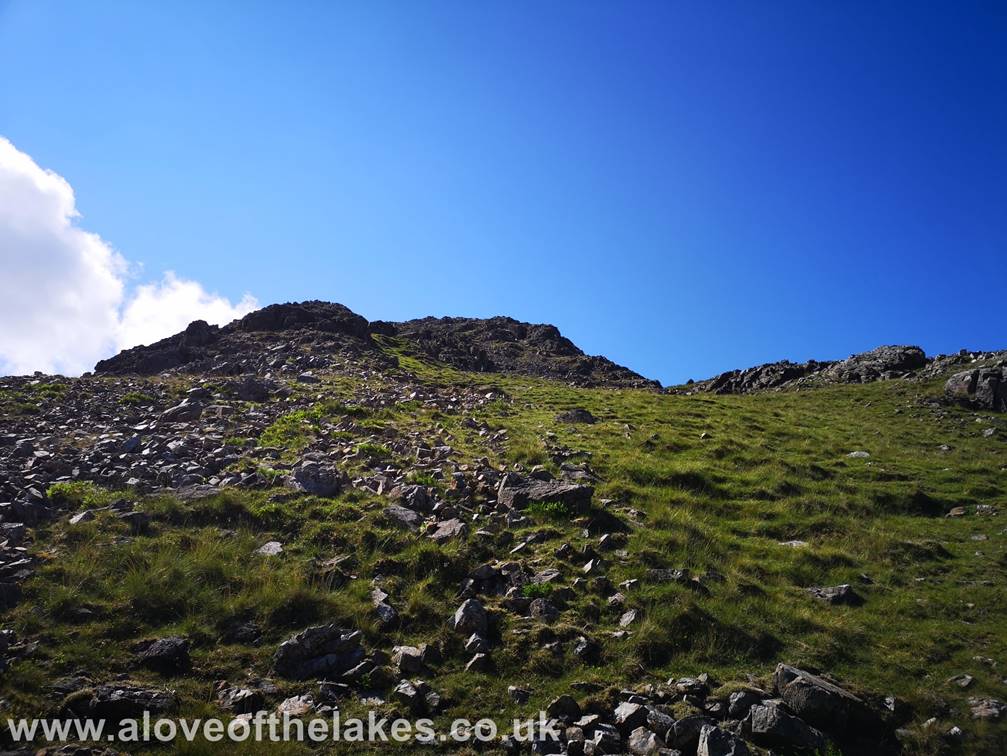
The path up through
the crags of Rib End is a lot easier than it looks. There are some parts where
a little amount of rock
handling is
required
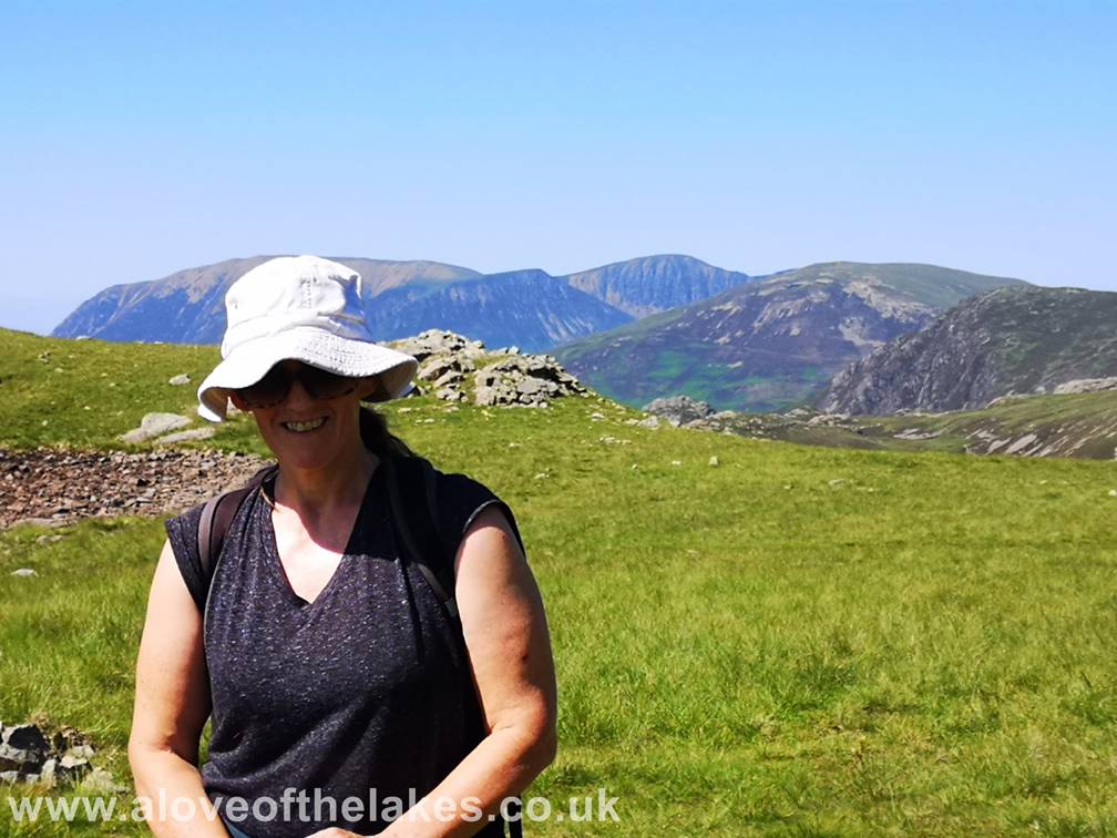
Sue pauses a short while before attempting the final
climb up to the summit
After passing through the initial band
of rock a grass path leads up to Kirk Fells North top, but this can be bypassed
by
keeping left on a decent
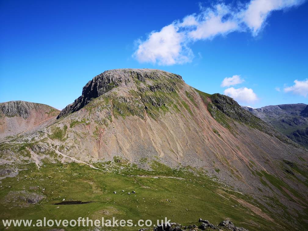
Looking back to Great Gable and Green Gable
from the grass track to the summit
Looking East to Broad Crag,
Fairly soon the South top summit comes into
view
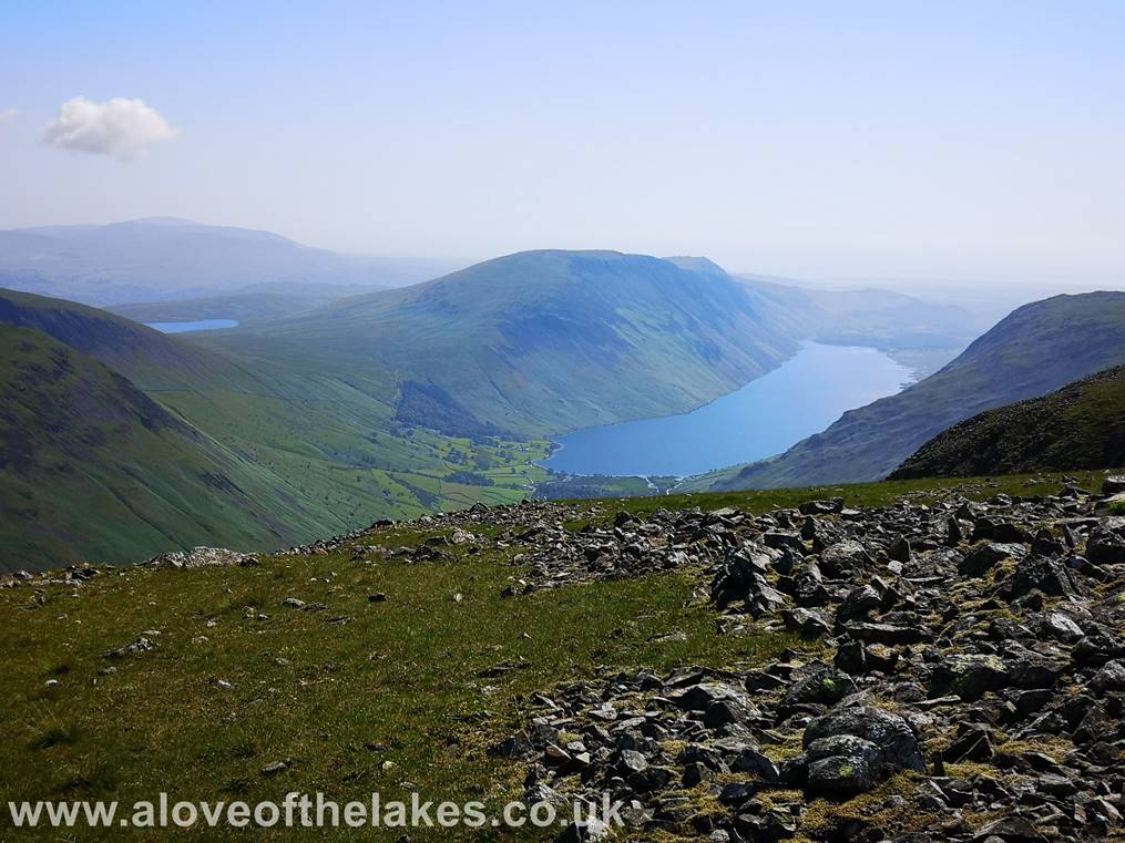
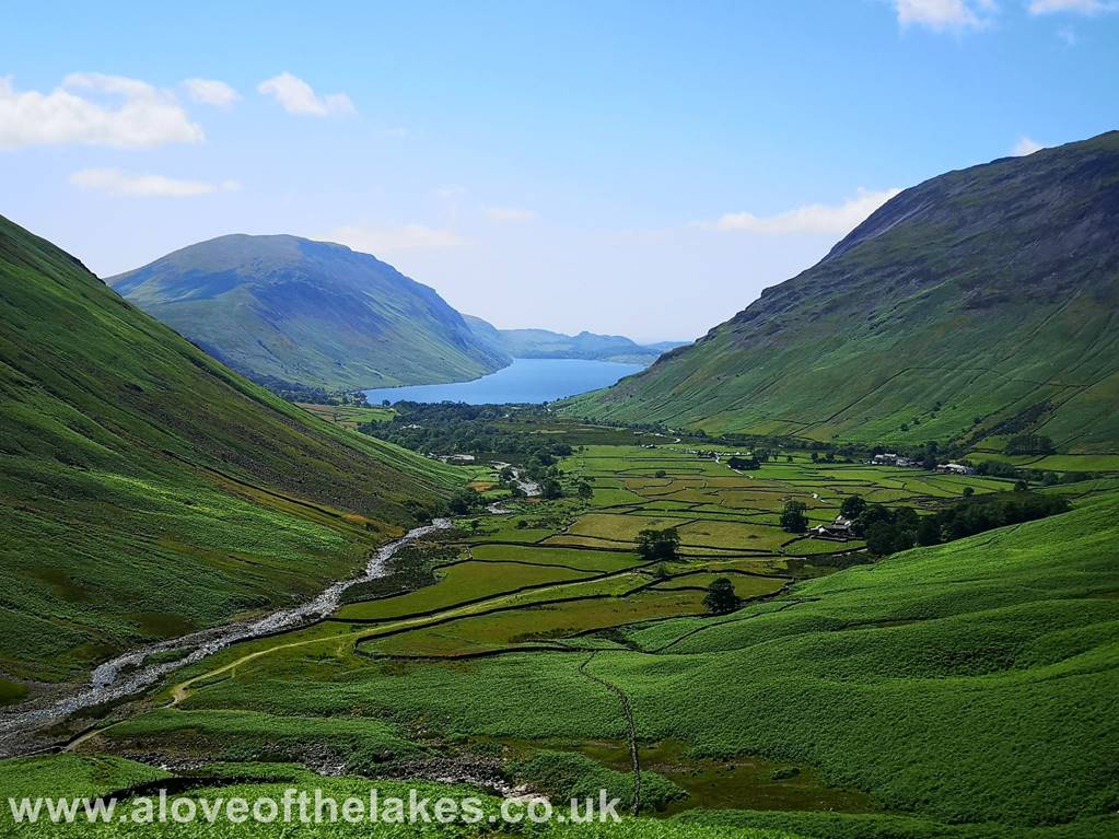
Looking South to Wast
Water and Burnmoor Tarn
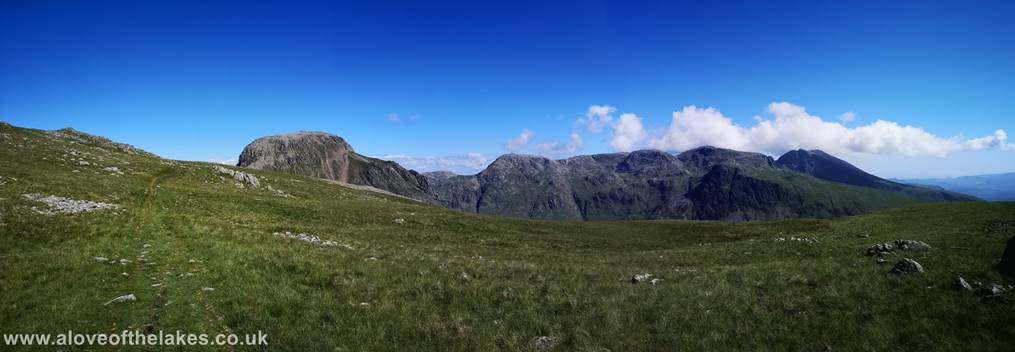
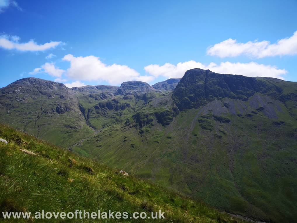
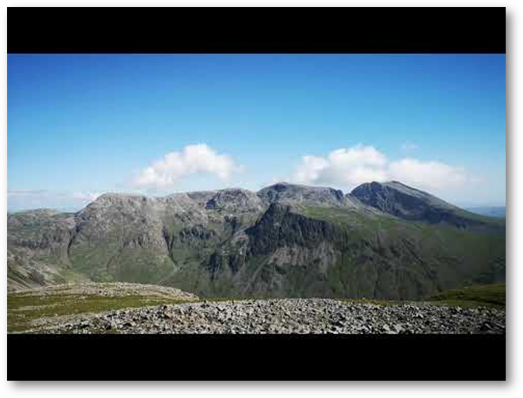
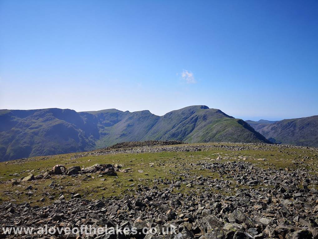
A panoramic view of ..
(l to r) Great Gable, Great End, Broad Crag,
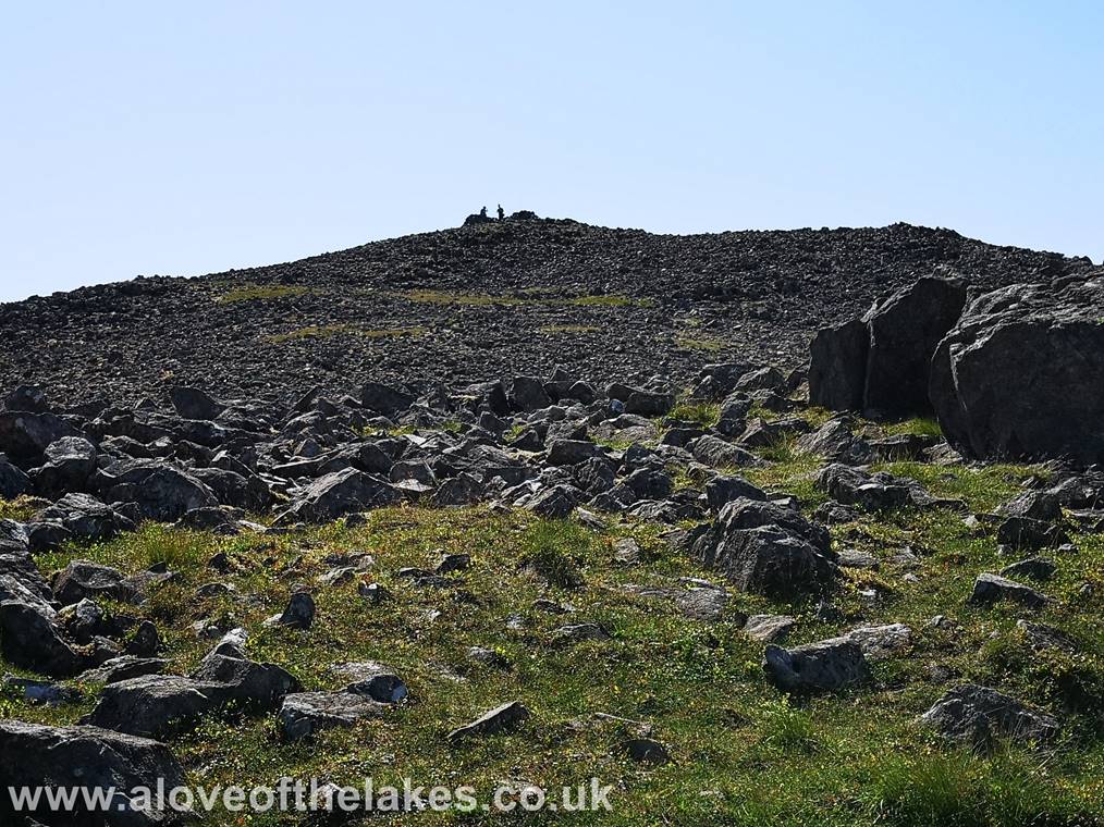
The final few yards to the summit lies across a boulder field. The shelter cairn seen in the
centre of shot
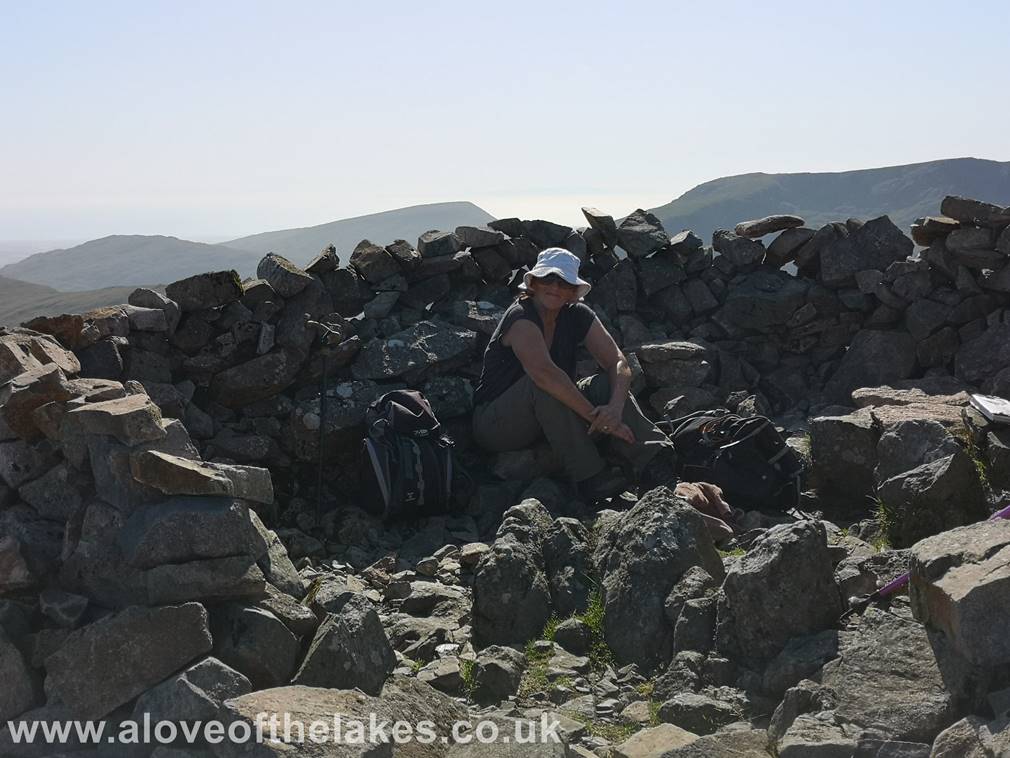
Made it !!! Sue tries
to find some shade in the shelter cairn
A 360-degree view from the summit
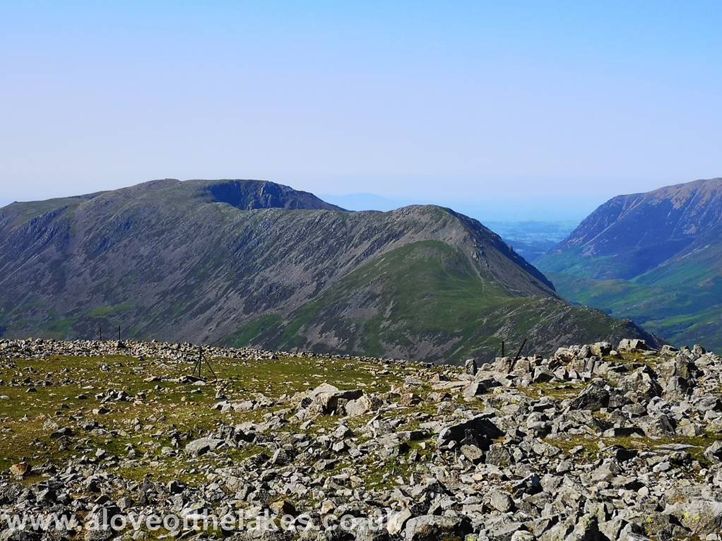
Looking across to the High Crag – High Stile –
Red Pike ridge
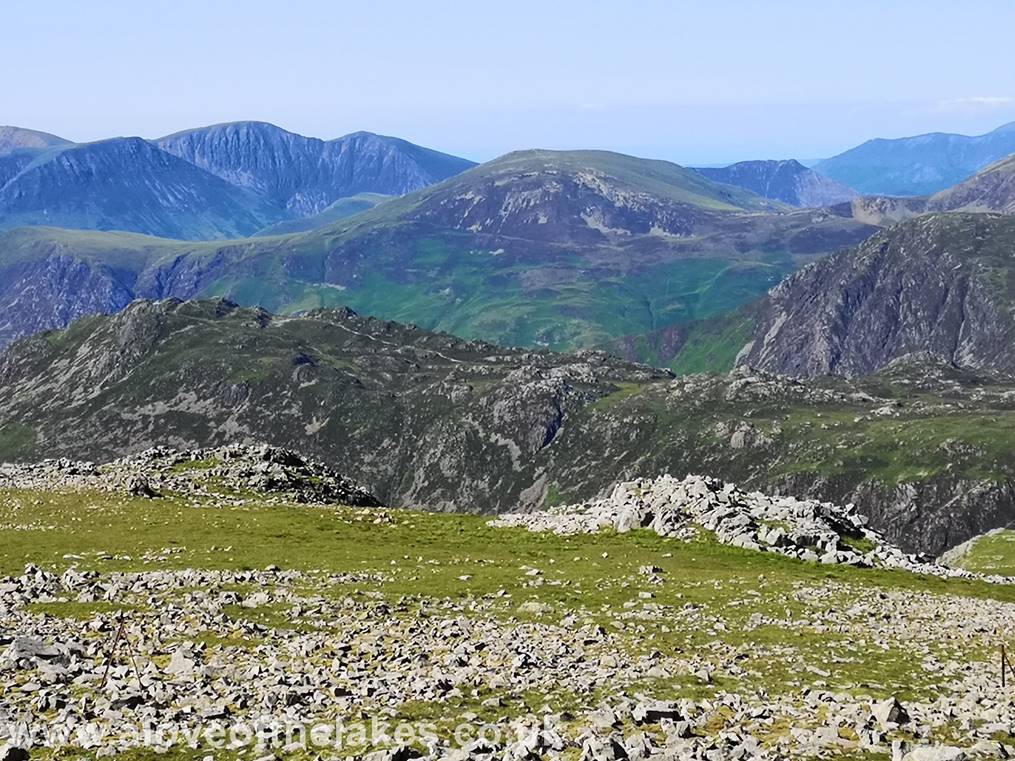
Looking across to the Mosedale Horseshoe
Scafell Pike and a slightly misty Scafell
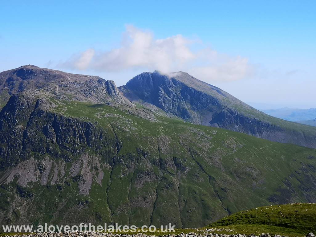
The magnificent Great Gable
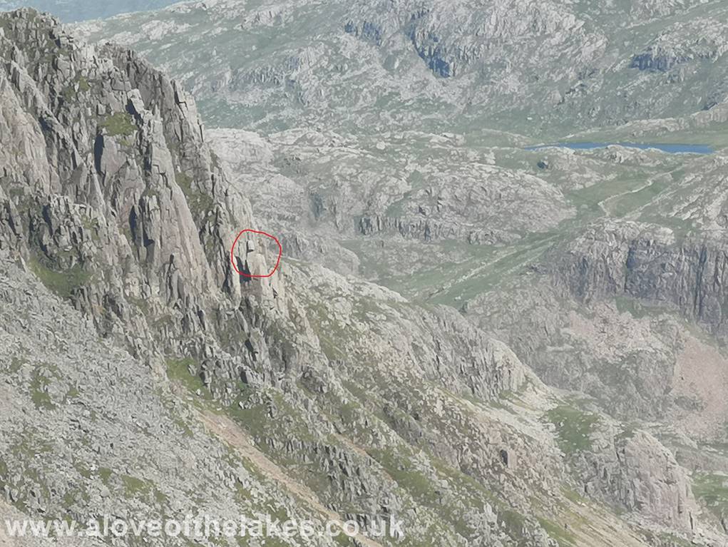
A close up shot of Napes Needle on Great Gable
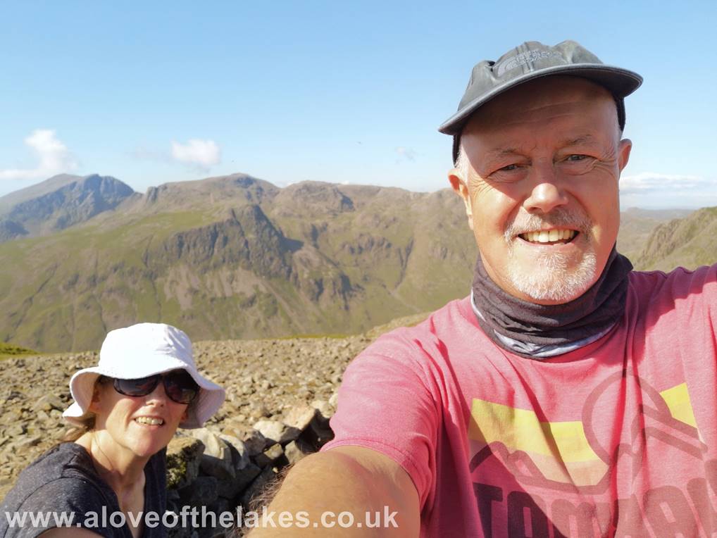
Team selfie on the summit
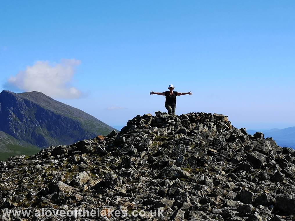
I venture over to the summit cairn about 20 yards away from the shelter, whilst Sue strikes her “Christ the Redeemer” pose
Looking down on to Haystacks from the summit
cairn
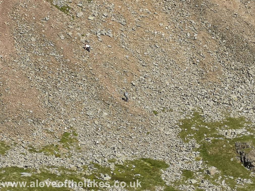
As we journeyed back down we saw this couple who had somehow got lost coming down
from Great Gable and ended up
sliding down the
Heading back to Wasdale Head
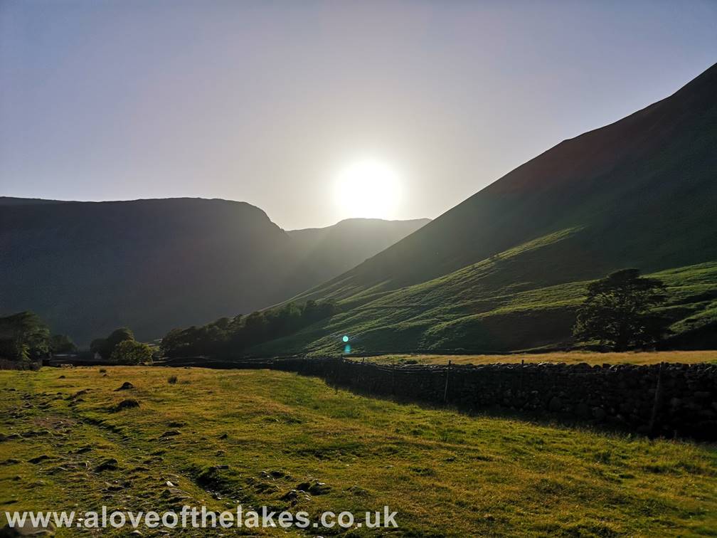
Almost back down now as the sun starts to drop
behind Red Pike and Yewbarrow
Copyright
© aloveofthelakes.co.uk 2011 –
2021