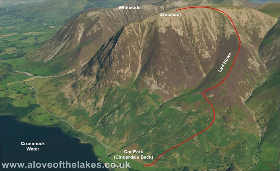
Walk : Grasmoor (2,791 ft) from Rannerdale via Lad Hows
Date : 16th September 2021
Weather : Dry fine, good visibility around 17°C
Distance : 3.5 miles round trip
Difficulty : Medium to hard – the upper reaches being on steep scree
Which
area of Lakeland is this walk situated?
Terrain
Overview
Walk
Overview
Grasmoor is the tallest of all the North Western fells
and this climb that initially follows the course of
Cinderdale Beck to get to the Lad Hows
ridgeline is steep. Towards the upper reaches there is some
nasty
scree that needs careful negotiation but once passed, a grassy promenade leads
all the way to
a
very well-constructed shelter cairn. The views of the Scafell range are awesome
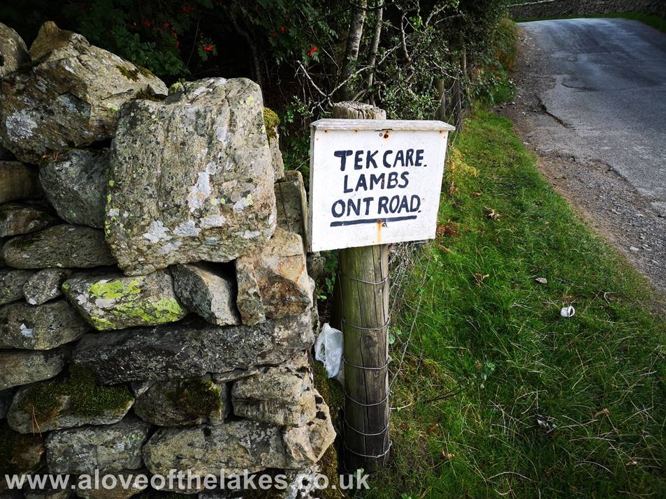
The
Farmers sign at the car park at Cinderdale Common.
This is the starting point for the walk
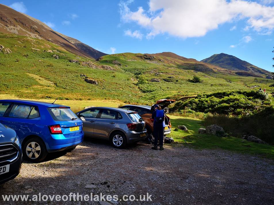
There
are two small car parks (free of charge) – this one is right by the side of the
Beck
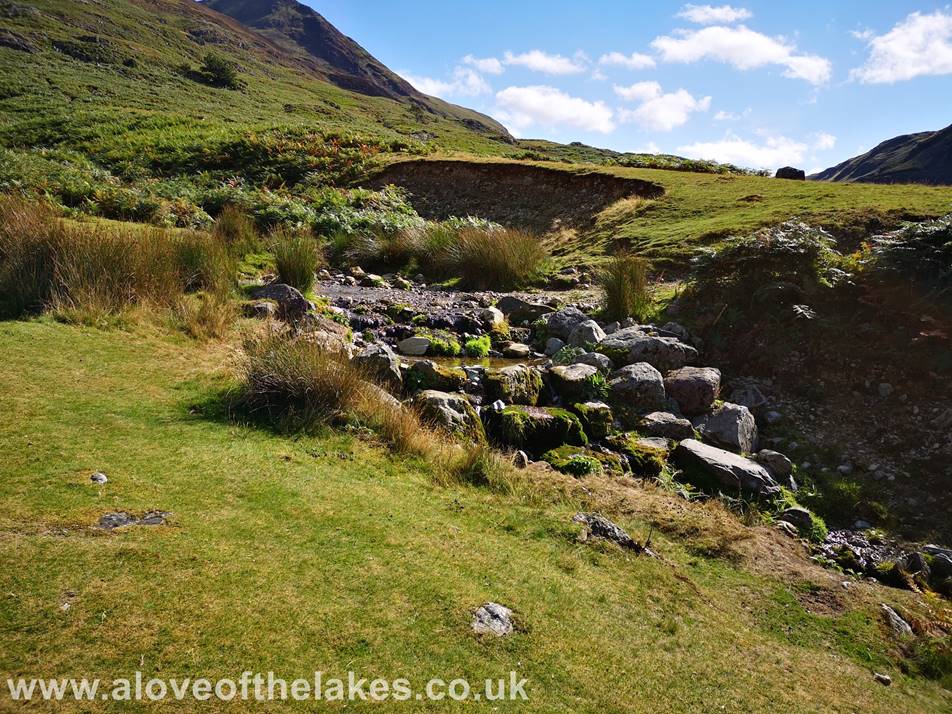
Immediately
from the car park cross the ford over Cinderdale Beck
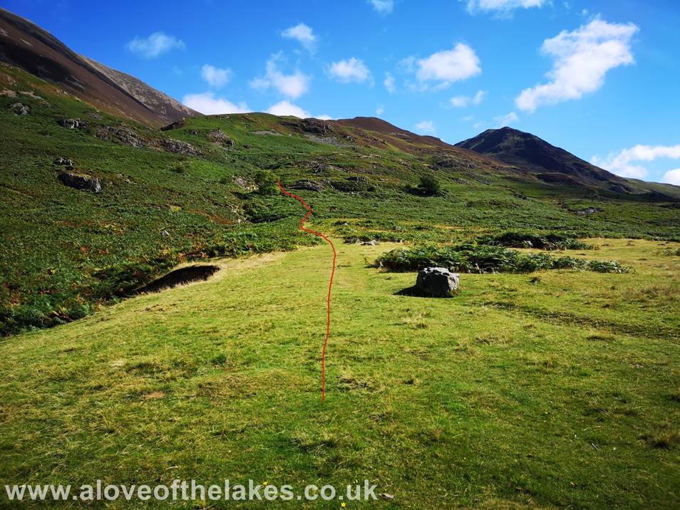
Over
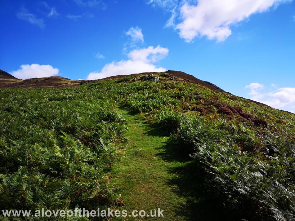
the Beck, take the path to the left that climbs initially through an area of
thick bracken
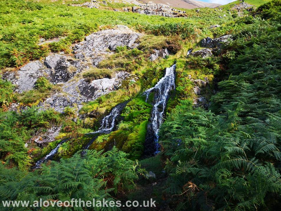
At
one point the path runs very close to the water cascade
The
first objective to aim for is the lone holly bush perched on a rock formation
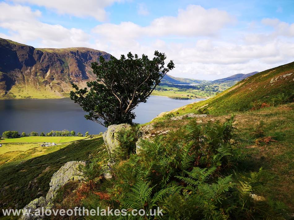
Passing
the holly bush
Looking
back towards Rannerdale Knotts and the High Stile
ridge line
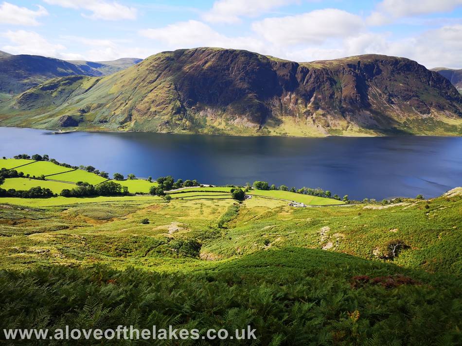
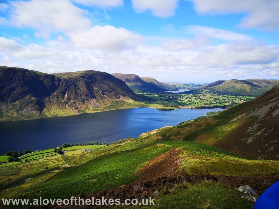
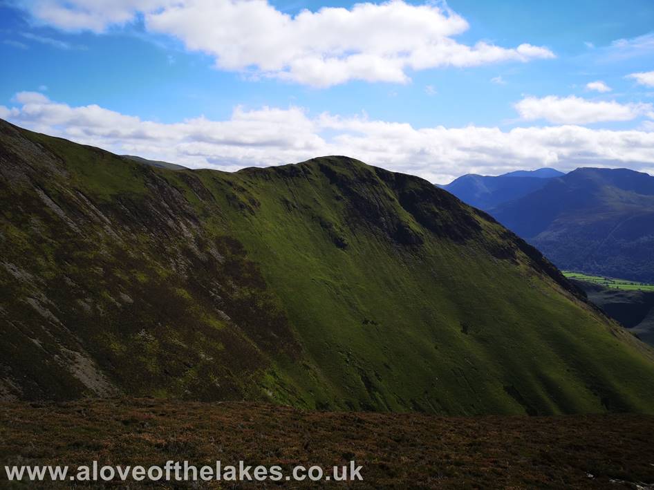
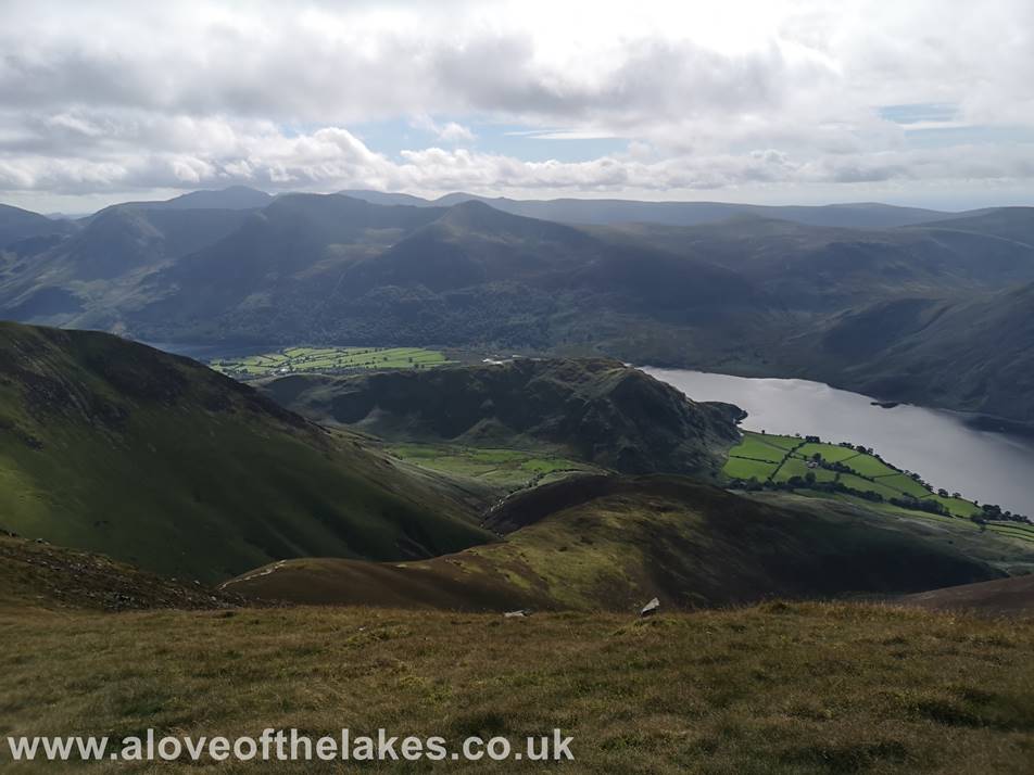
Looking
back to Mellbreak over Crummock
Water from the path
Approaching
the Lad Hows ridge line
Looking
towards Loweswater in the back ground from the path
Higher
up the path now and Great Gable can be seen above Buttermere
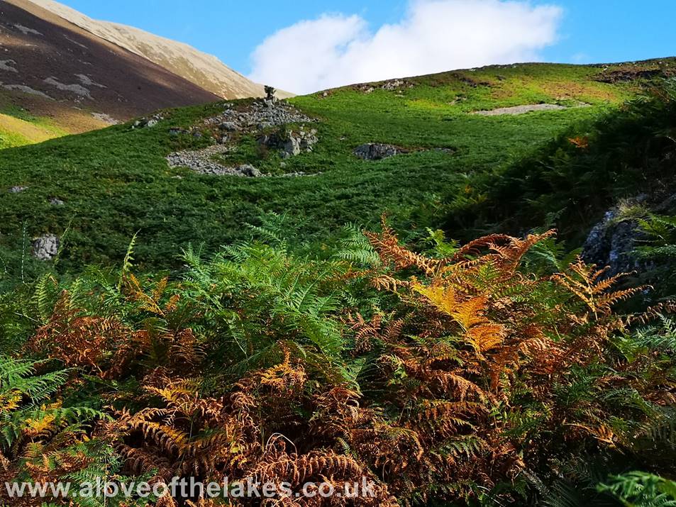
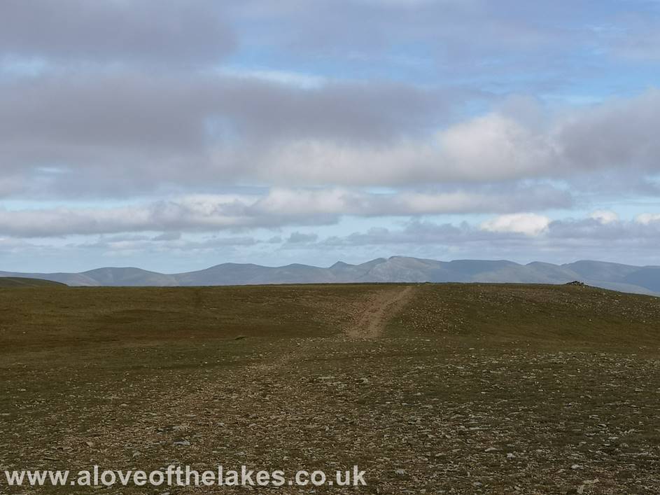
On
the Lad Hows ridge line now and the only bit of
fairly level walking throughout
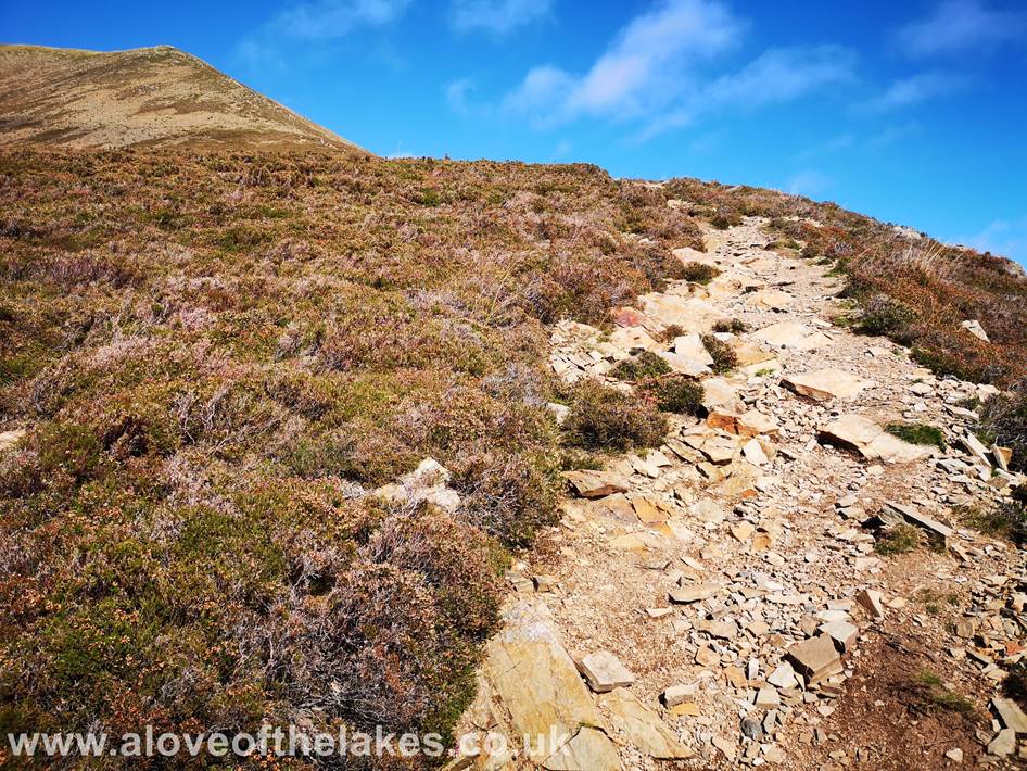
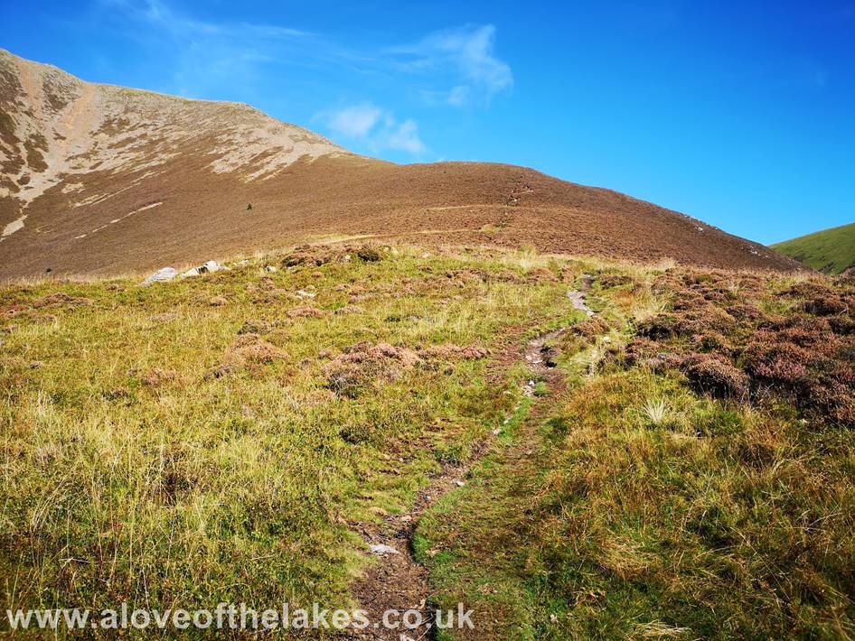
The
path steepens again as it approaches the scree section, no navigational issues
though
Looking
across to Whiteless Pike from the scree path
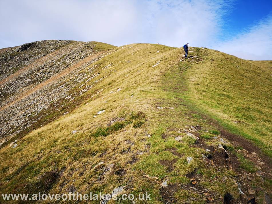
After
a considerable toil up the steep scree slope it is very welcome to reach the
summit approach
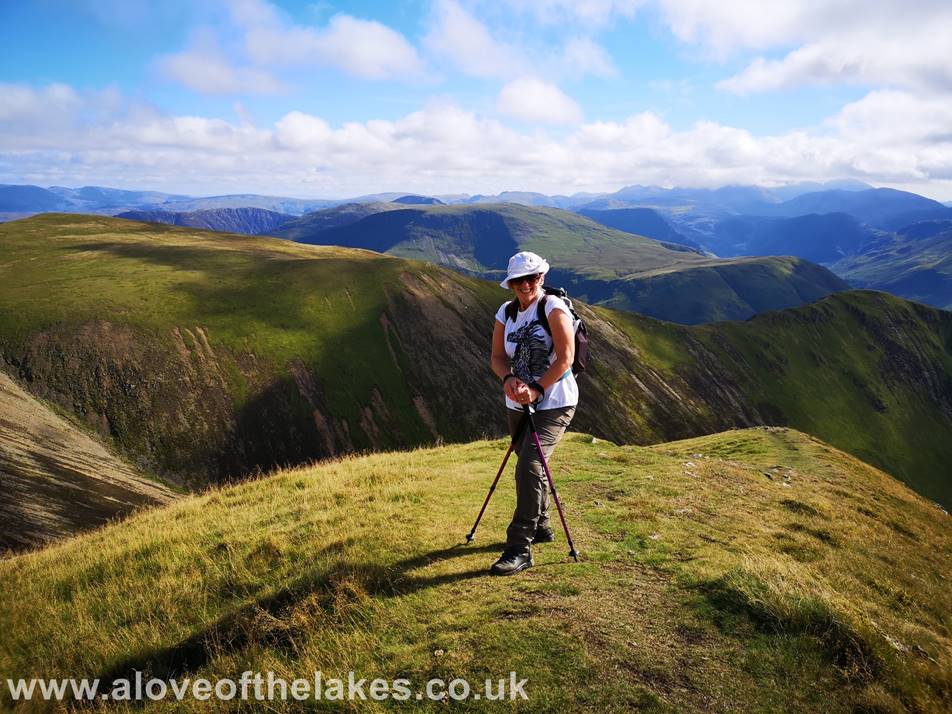
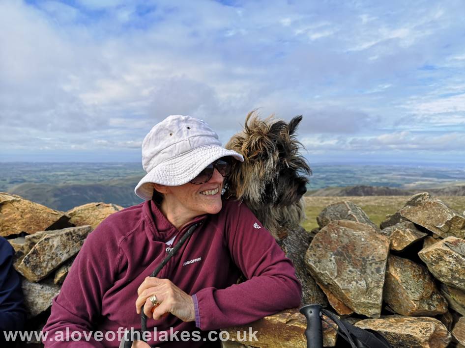
Sue
very happy to be standing on more level ground
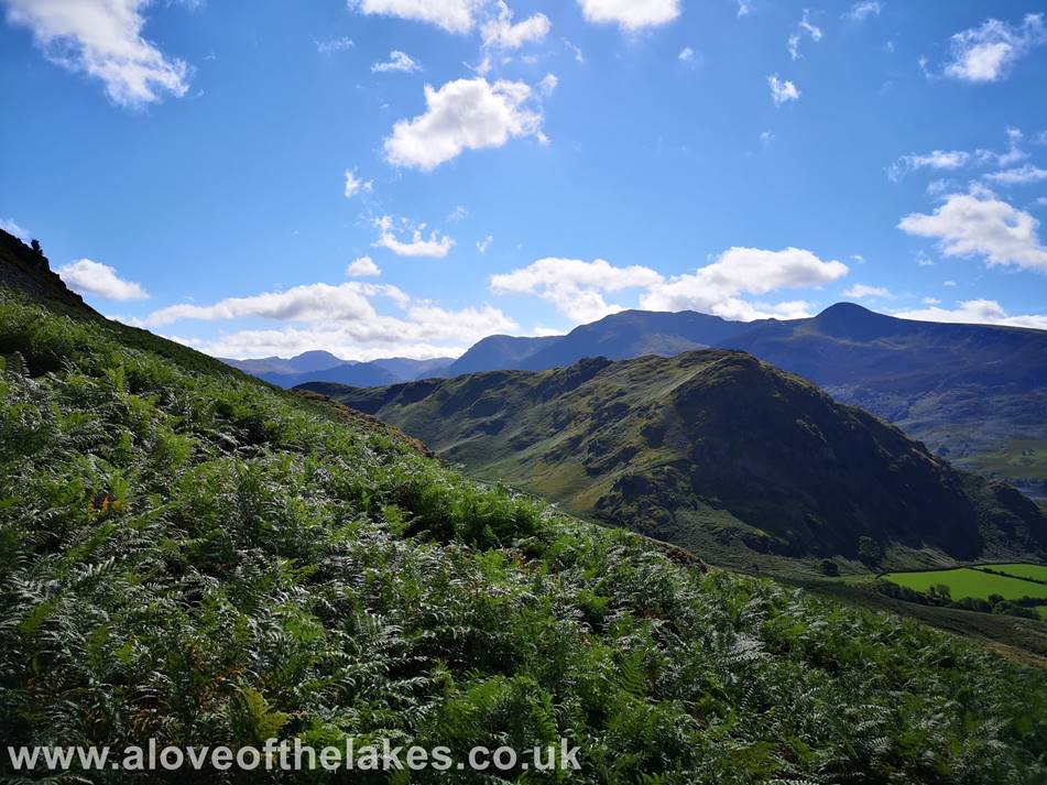
Looking
back down the Lad Hows ridge line
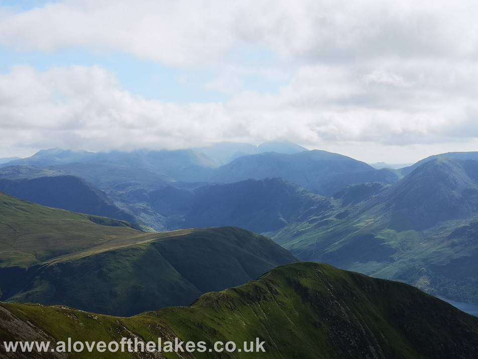
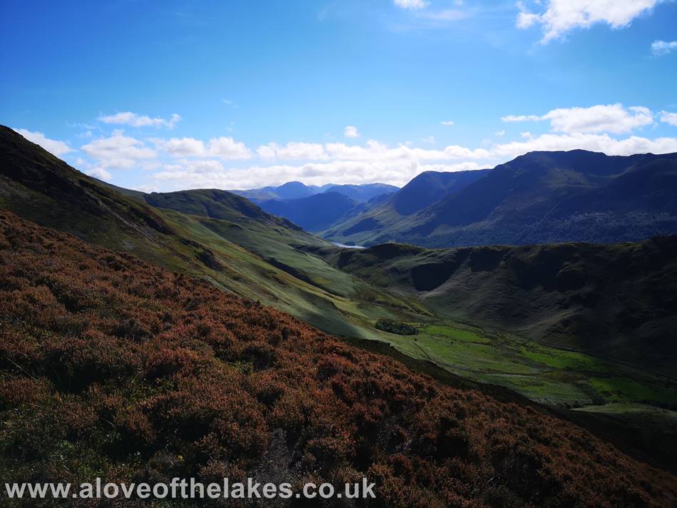
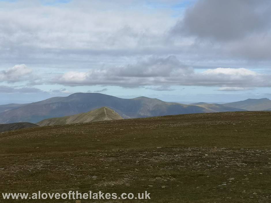
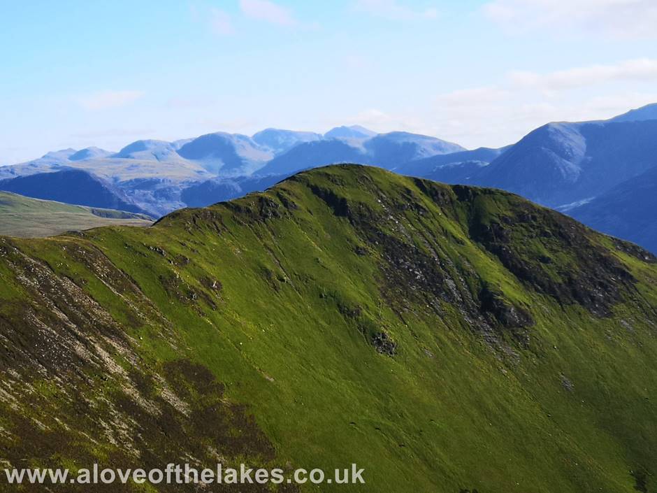
Looking
over the ridge line from between Wandope and Whiteless Pike to the Scafell group
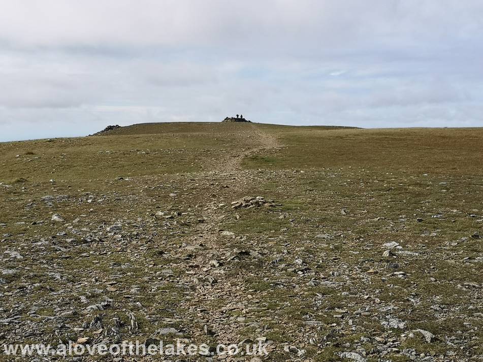
From
this point now its just a straight forward walk up to the summit shelter cairn
Finally,
we arrive at the summit of Grasmoor
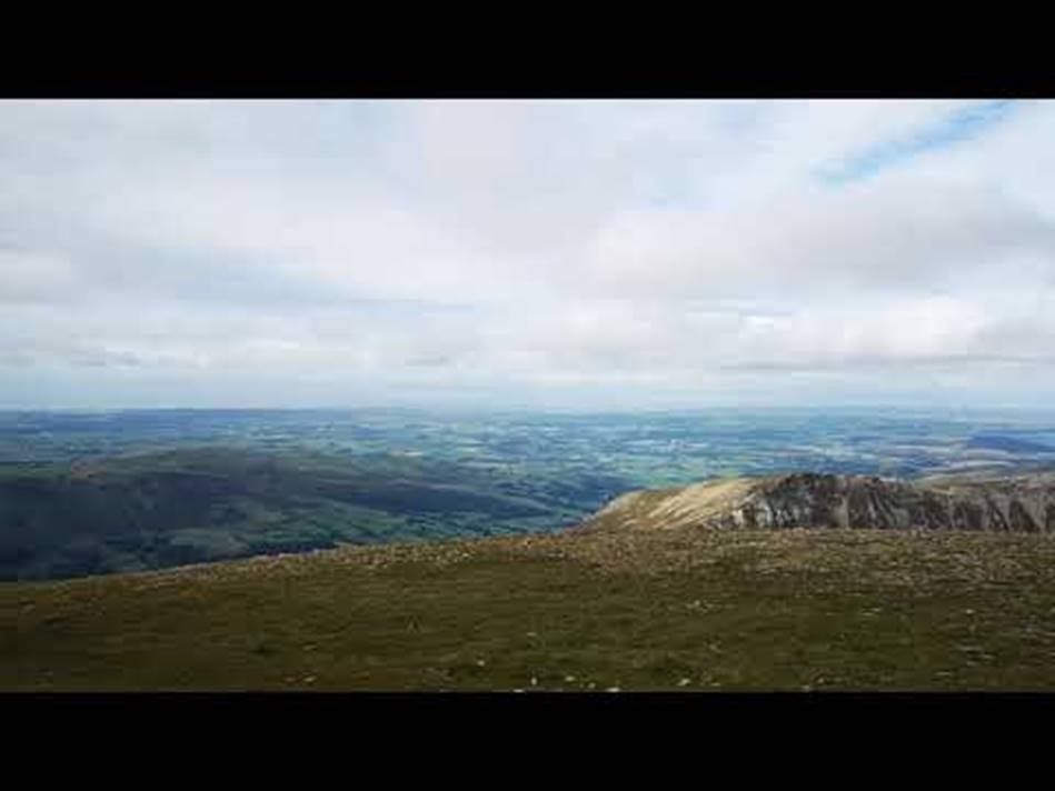
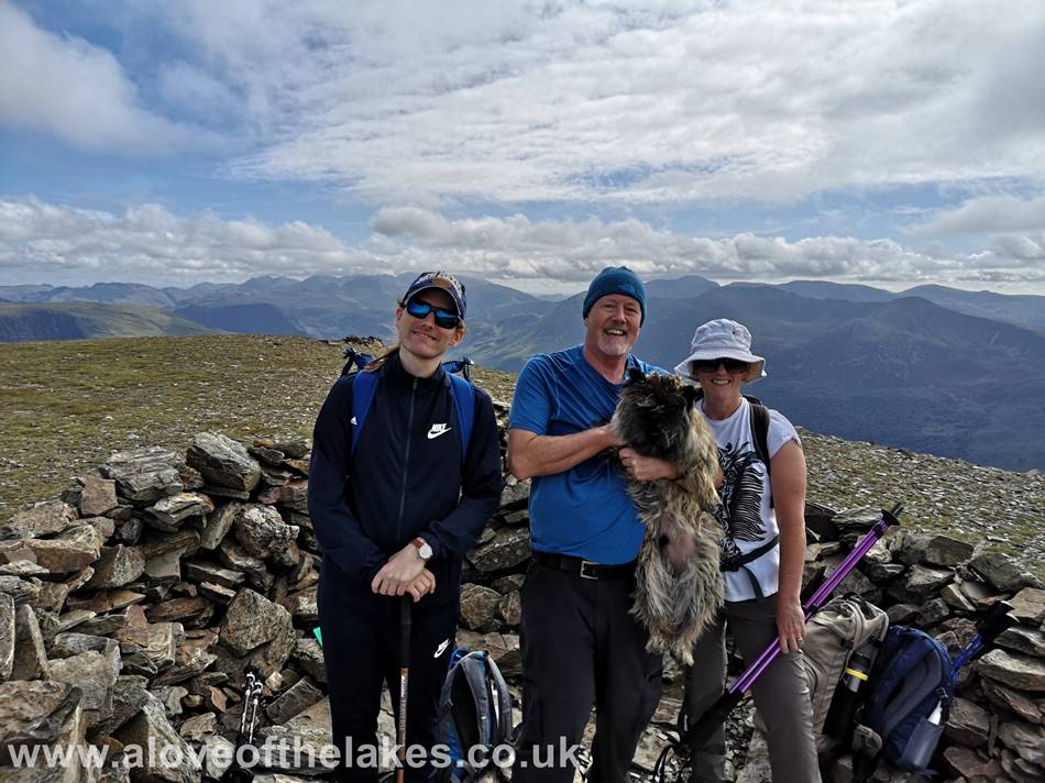
Have
a look at the 360-degree view from the summit
Plenty
to look at from the top
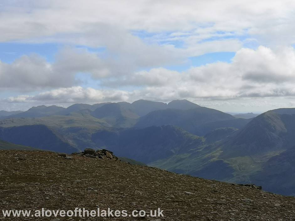
A
clearer view of Scafell Pike and Scafell now
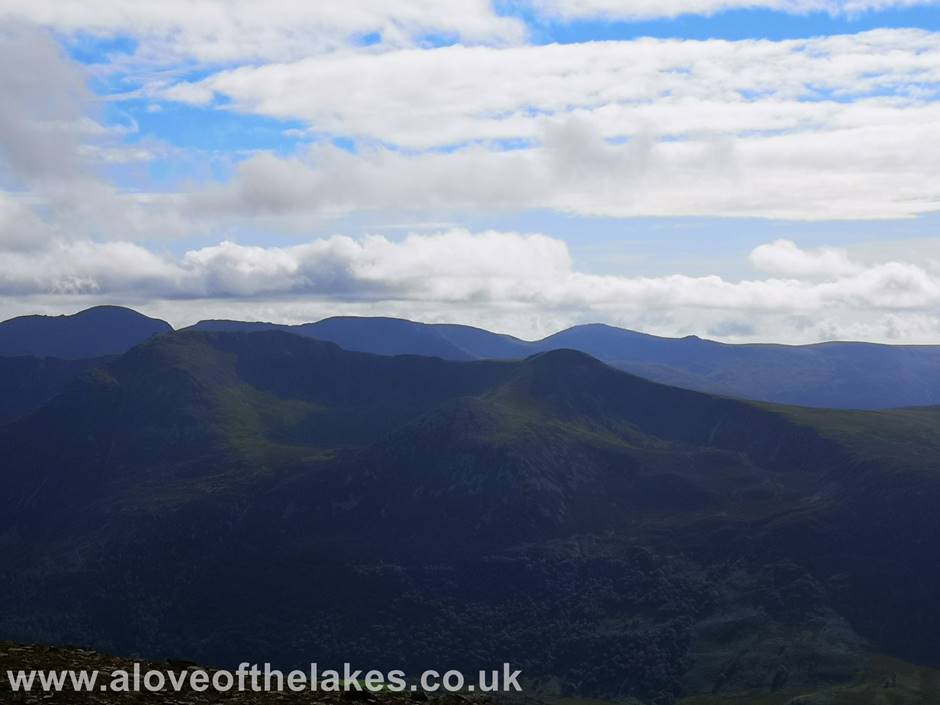
The
connecting ridge between High Crag and High Stile with Pillar peeping up over
the top
Looking
north towards Skiddaw and Blencathra
…
and East towards the Helvellyn range
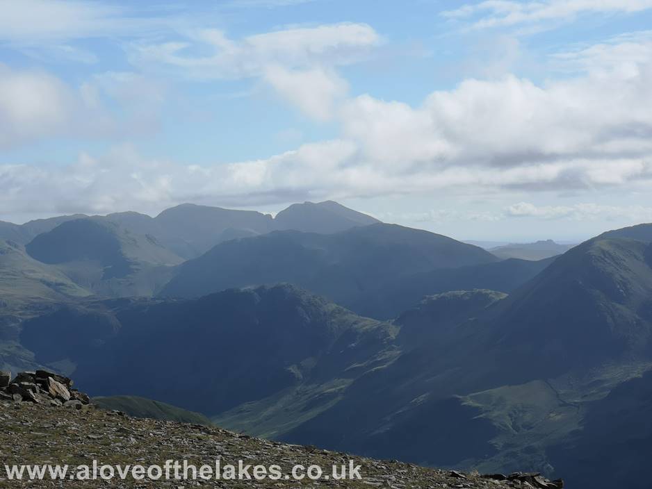
A
close view of Scafell Pike and Scafell
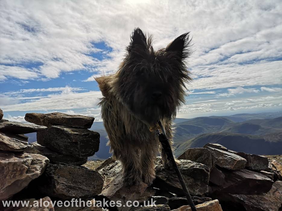
Whilst
we were taking in all the views it seems the Spudmeister
was taking in some views of his
own
…. namely my dinner!!
Looking
across to Whiteless Pike and its connecting ridge to Wandope
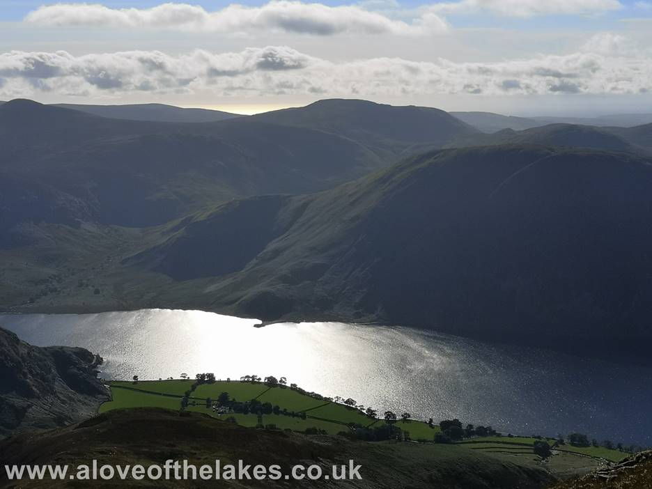
On
our way back down now as the early evening sun shimmers on Crummock
Water
Copyright ©
aloveofthelakes.co.uk 2011 - 2021