Walk : Mungrisedale Common (2,068 ft) from Mosedale
via The
Date : 24th
July 2021
Weather : Dry, sunny, passing cloud @ 17°C
Distance : 6.5
miles round trip
Time Taken : 2 hours to
summit
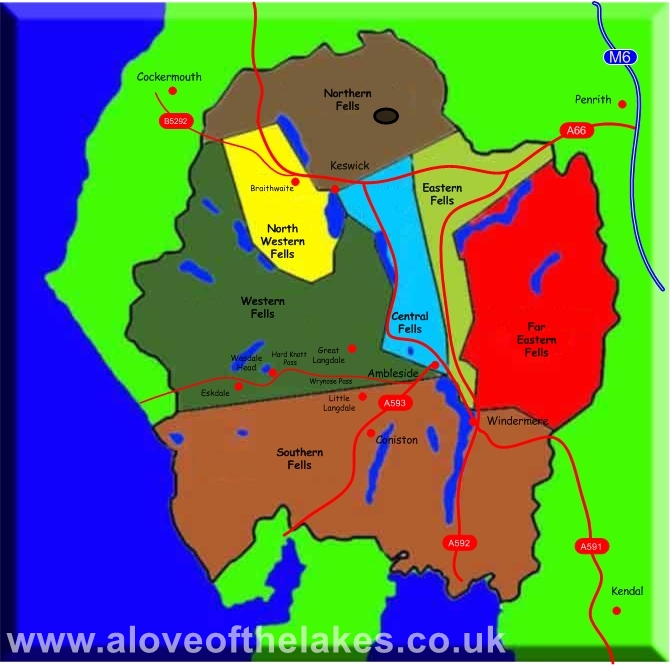
Which
part of Lakeland is this walk situated
Terrain Overview
Overview
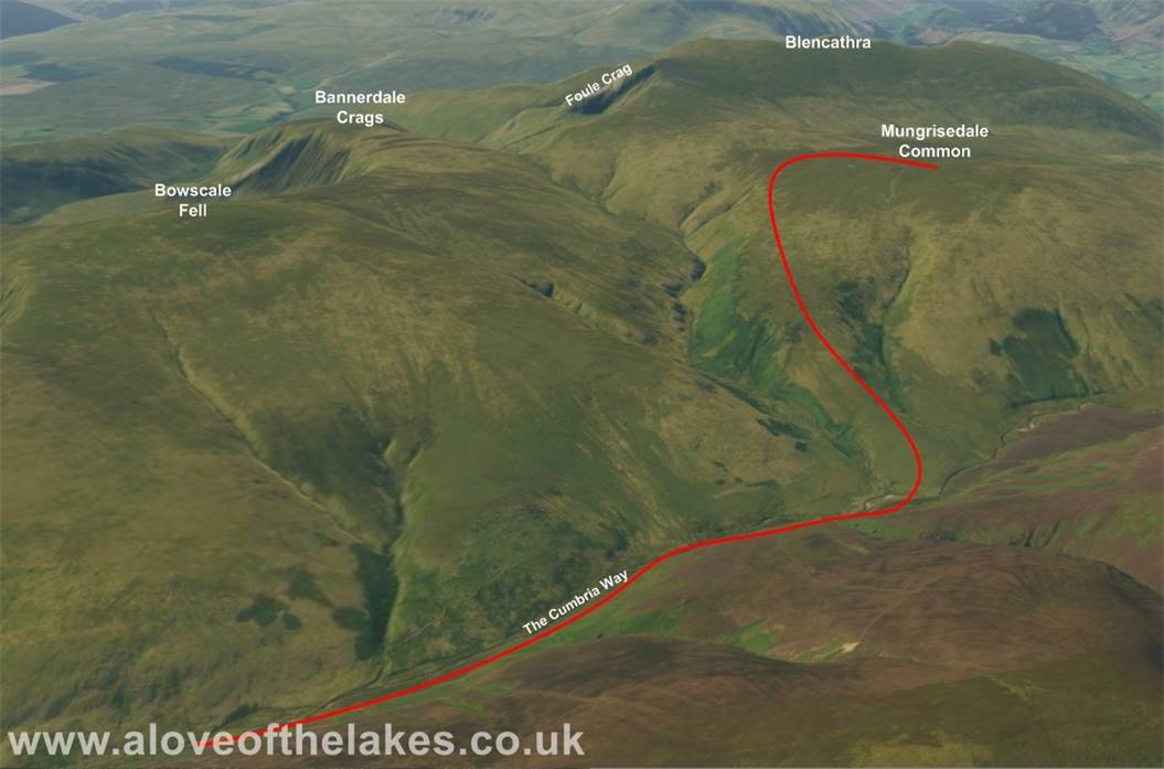
The “infamous” Mungrisdale Common. Wainwright hardly had a good word
for it in Book 5 … There is little point providing diagrams
never be used” … True – its hard to believe it
to be a mountain per say, but after an aborted attempt to complete it
to cross the River Caldew, we
took advantage of the better weather and lower river levels to tick
charming and pleasant short walk which with
similar weather conditions I would have
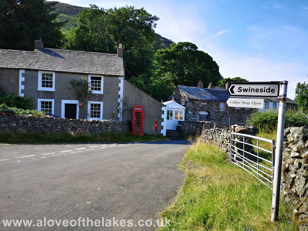
From the A66 towards Keswick turn right at the signs marked
for Mungrisedale and then having passed
through the hamlet take a left turn
signposted towards Swineside to
pick up The Cumbria Way
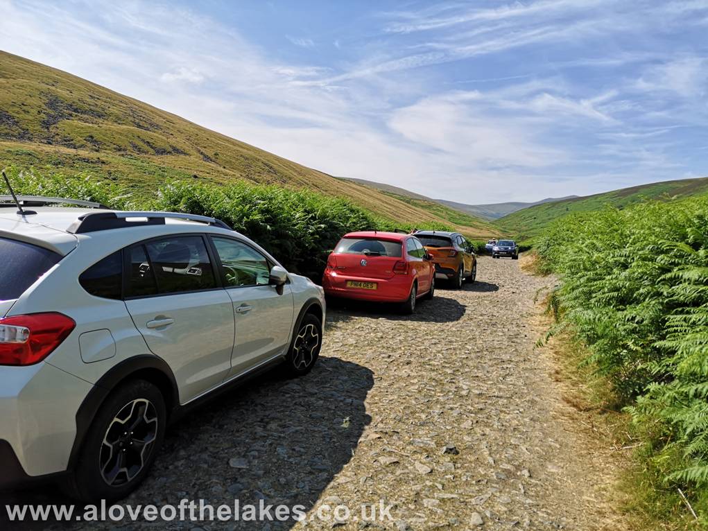
The extent of the road that is suitable vehicles comes to an
obvious end as it turns from tarmac to stone. There is free parking at various
wider points
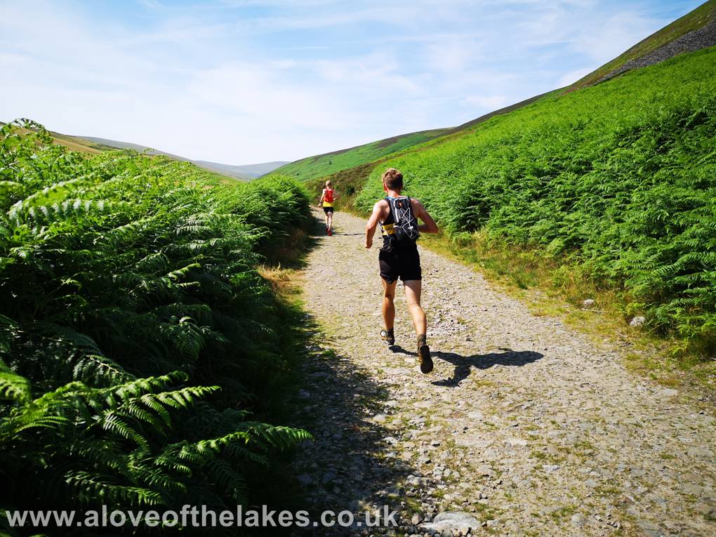
As we set off west down the track it soon becomes obvious that
today was a fell running endurance event. It was the “Old Crown Round”
which is a 36km 2200m ascent race that
has checkpoints on the summits of Carrock Fell, Blencathra, Skiddaw House,
Knott and High Pike.
These guys came
bombing past us as we set off on the walk
The path passes the ford that is normally reserved for farm vehicles
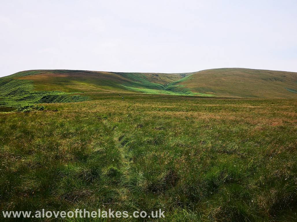
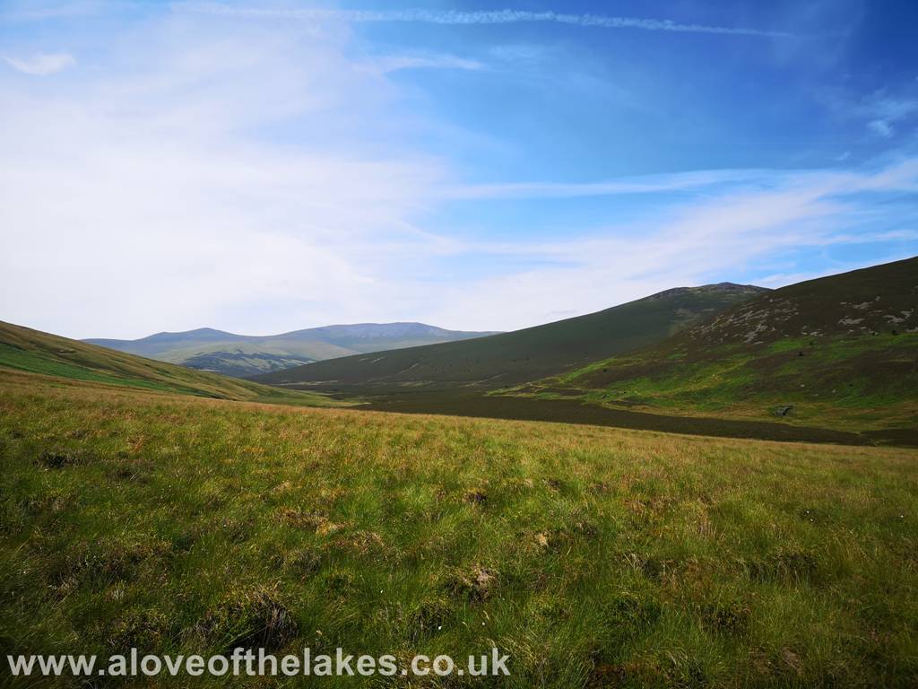
After a short while the views start to open up – here Skiddaw Lesser and Little Man
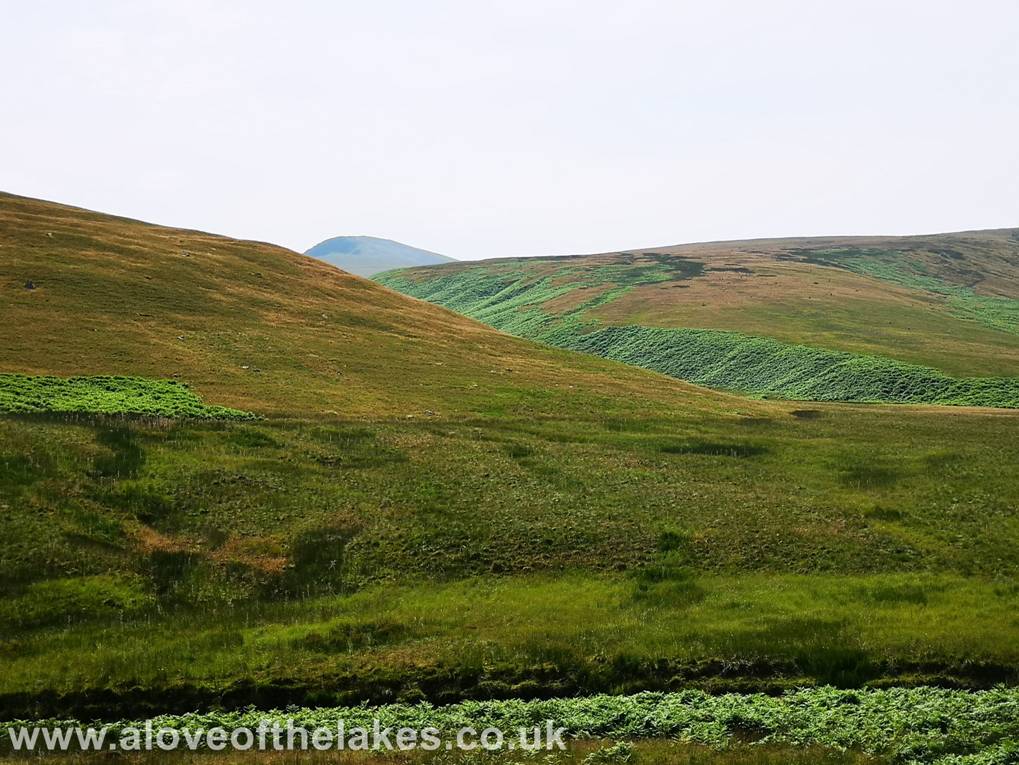
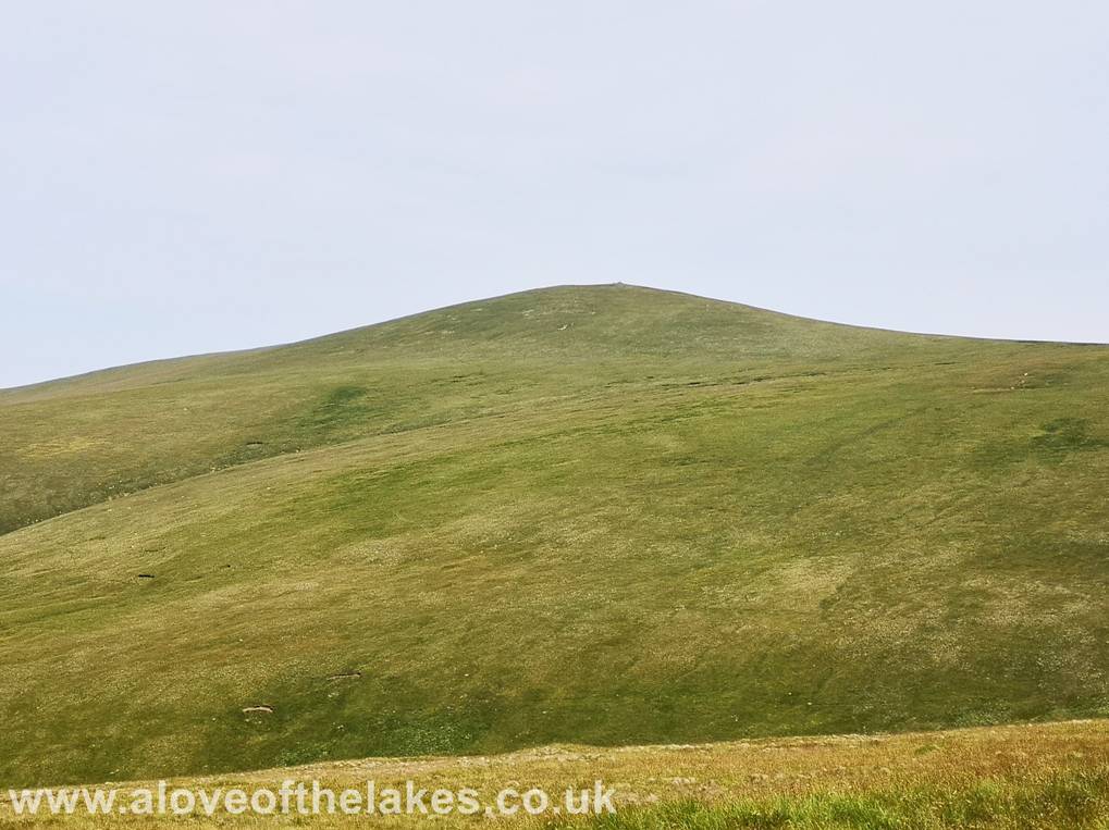
The first view of the Eastern flank of Mungrisedale Common with Foule Crag on Blencathra peeping up from behind
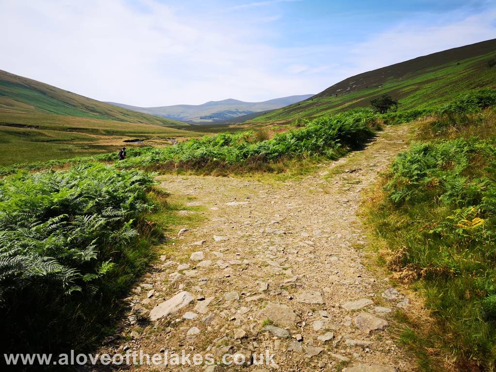
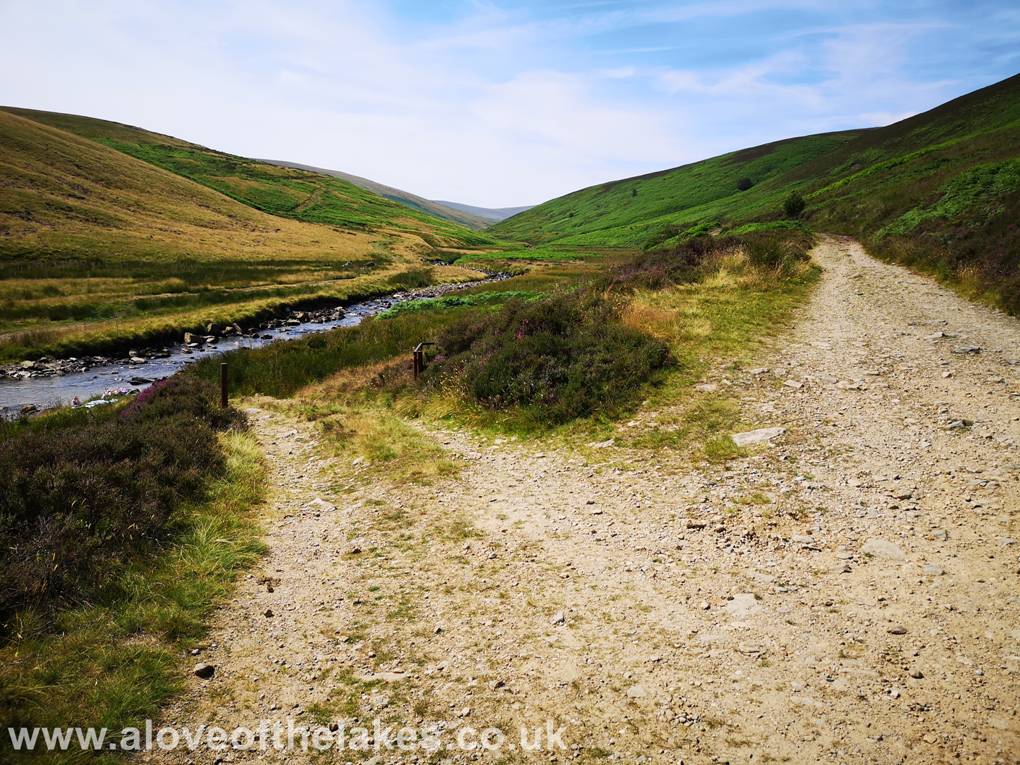
An obvious path to the left drops down to run parallel with the River Caldew
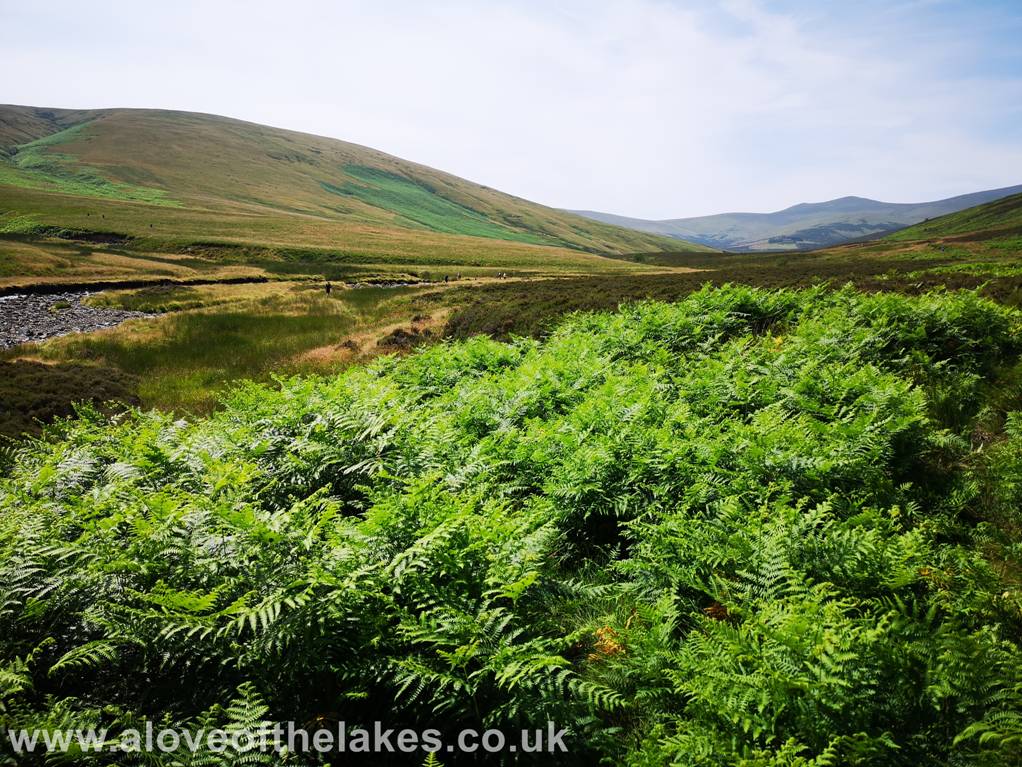
Its just a case of passing through the ferns and tufted
grass to find a suitable crossing point. Its unlikely
the river will be so low that you could
cross it without getting your boot
totally immersed, so we just changed for flip flops to do the crossing
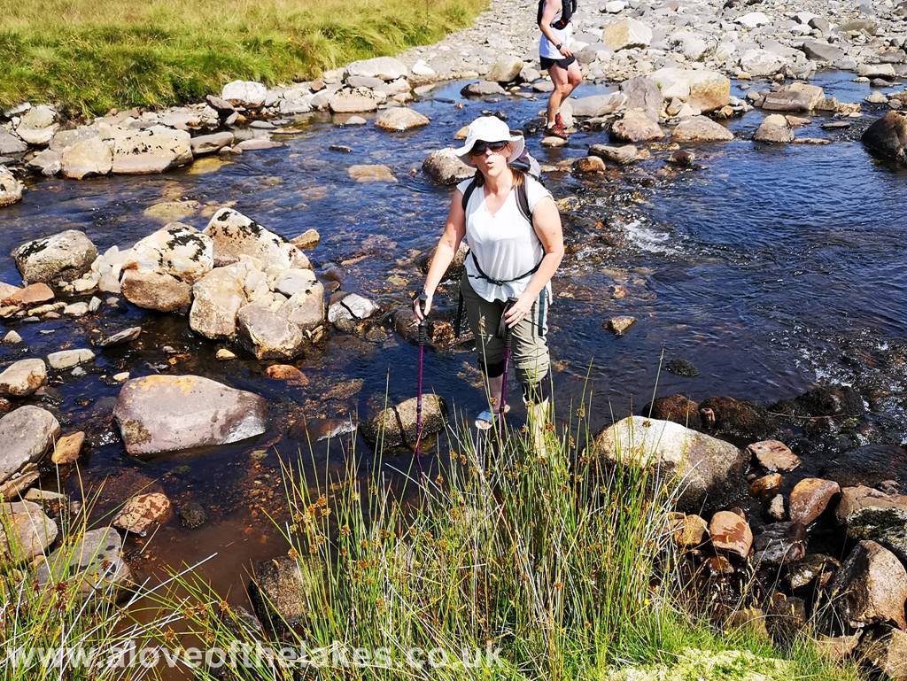
Sue crossing the River Caldew and another runner just bombing through it
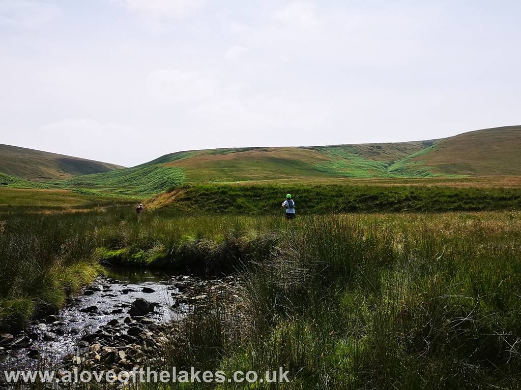
After the crossing make your way across to the grassy shelf on the
left hand side and at this point you will pick up a grassy path that climbs
straight up the central breast of the
eastern side of the fell
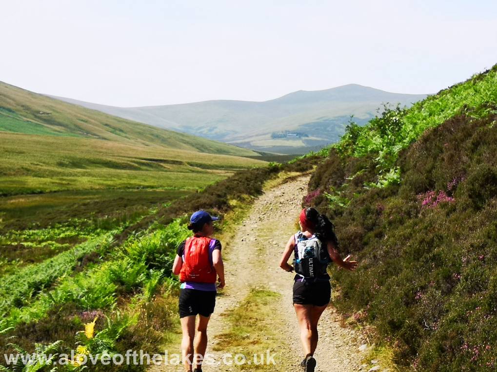
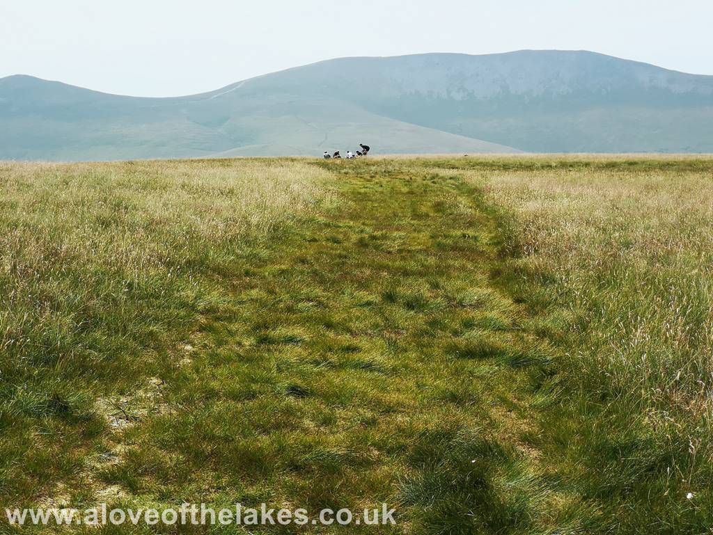
The path was made all the more easy to follow by the hoards of runners that were flattening it for us on their way

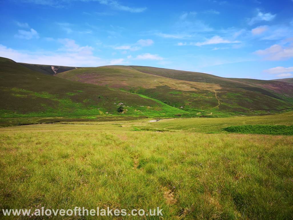
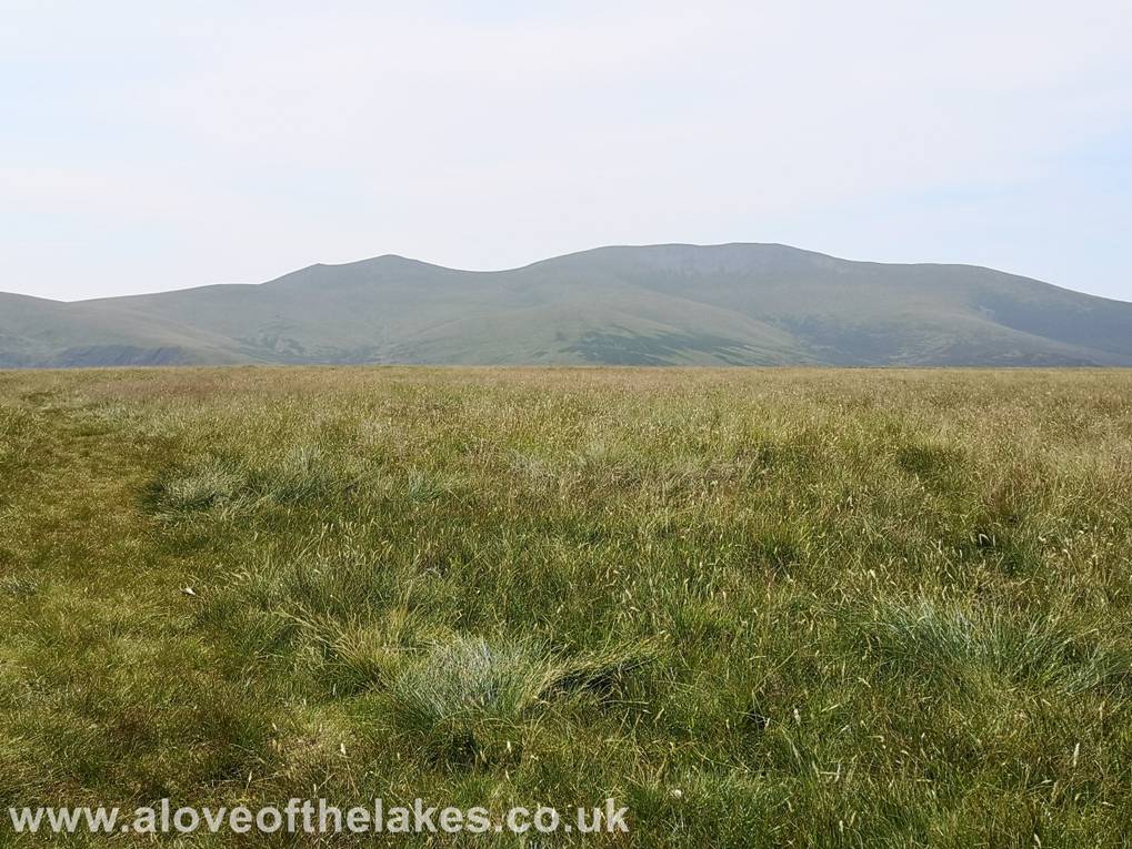
Looking towards Great Calva in the foreground and Skiddaw in the background from the path
Looking
back to the
We are now approaching the ridgeline and the path becomes less steep
Looking across to Great Calva
At
the crest of the ridgeline there are a number of paths on the right that lead
towards the pile of stones that form the summit
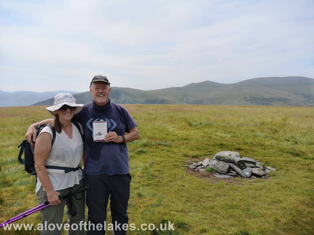
At
the summit and the completion of all of the Northern Fells in Book 5 for both
of us – Click here for a 360 degree view … https://youtu.be/VCSq_Cnmz2Q
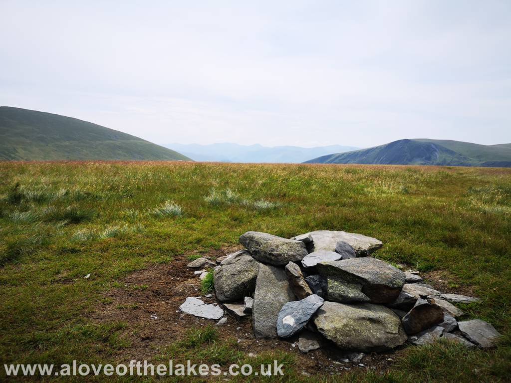
The pile of stones that has been declared the highest point of the fell
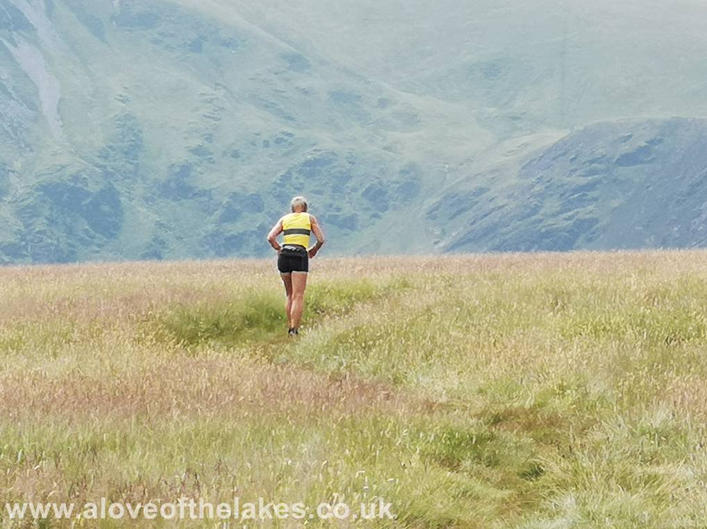
This lady … well in to her 70`s was competing in the Old Crown
Round and insisted that she wasn’t in last position – and that was later
confirmed when we saw someone probably half
her age come limping past about 20 minutes later !!! – Much respect
The Back o` Skiddaw
Looking to Great Calva from the summit
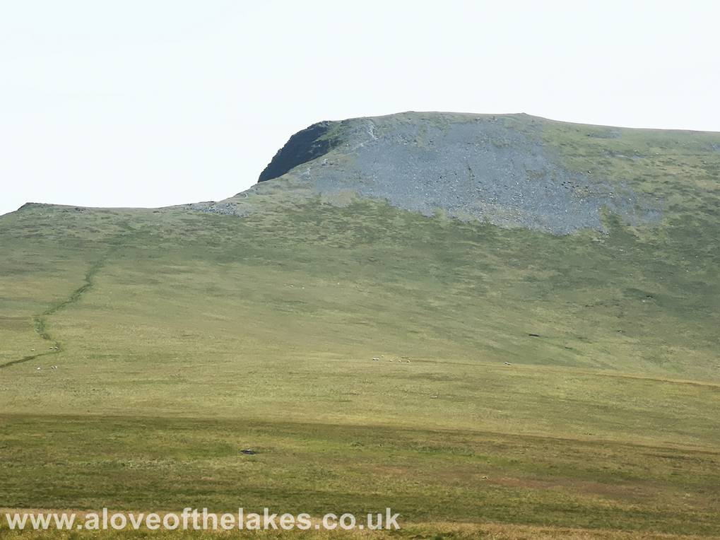
Close up of Foule Crag on Blencathra

A very hazy glimpse of Derwent Water from the summit
A
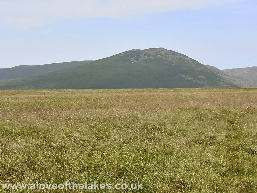
close up of Bowscale Fell
Copyright ©
aloveofthelakes.co.uk 2011 - 2021