Walk : Harter Fell (Eskdale) (2,140 ft) from Eskdale
Date : 3rd August
2021
Weather : Dry, low cloud @
14°C
Distance : 4
miles round trip
Time Taken : 1 hour 40 mins to summit
Which
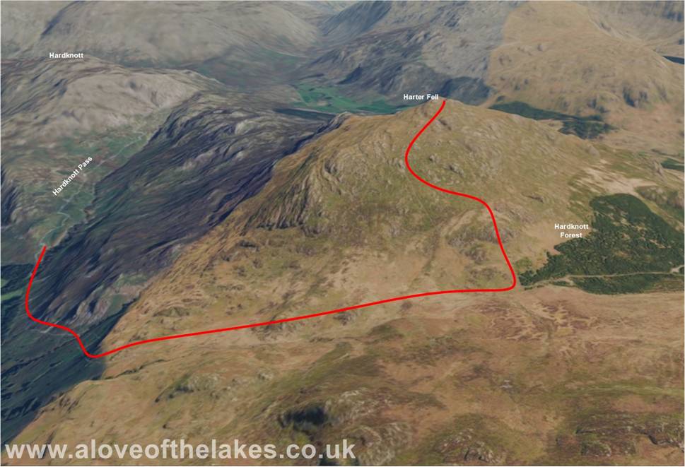
part of Lakeland is this walk situated
Terrain Overview
Overview
AW described this walk as the most charming of ascents, delightful
from start to finish. True it is a nice walk along a good path that does
disappear a tad in the final stretches – but the
summit is comfortable near the Trig column and invites you to stay for a while
to take in the
views (cloud cover permitting)

Approaching from
the south through Eskdale, past Wha
House Farm at the foot of the
side parking. This view is looking back down
south and is the direction of travel when starting the walk
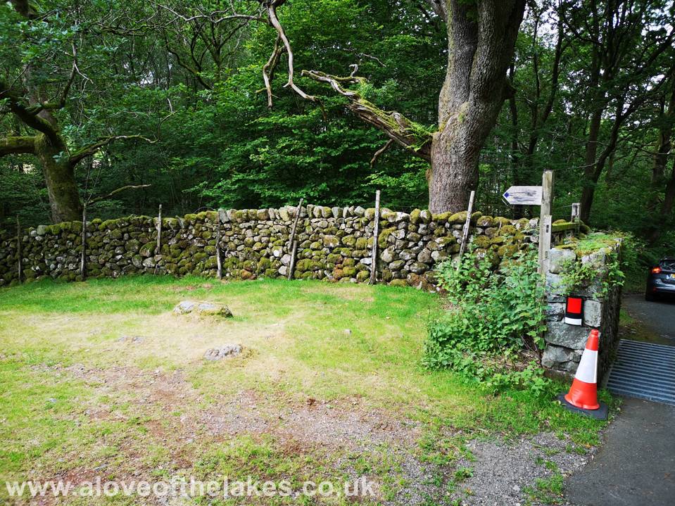
After about 30
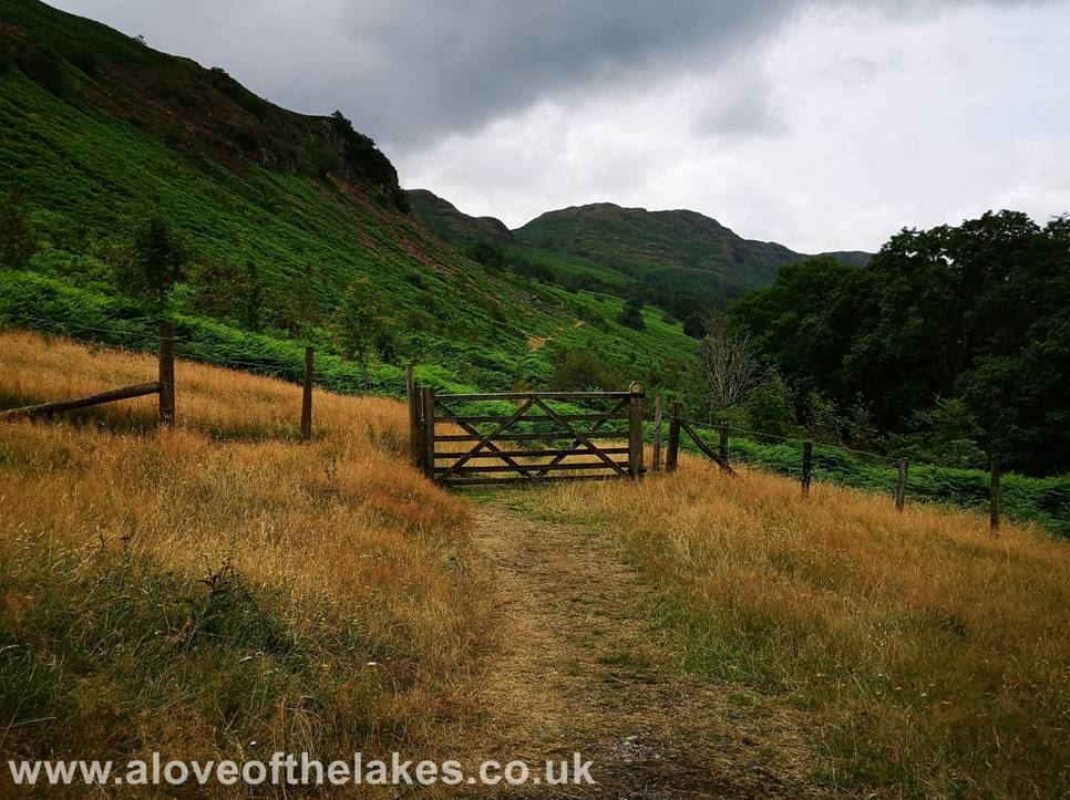
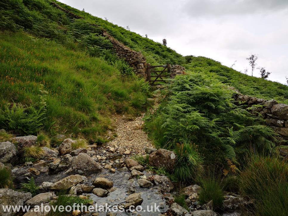
yards or so take a left turn at a sign posted path leads down to cross Dod Knott Gill and a series of handgates
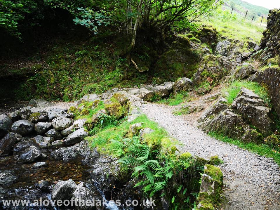
Crossing Dod Knott Gill
Through the
first hand gate to get on the path proper
The second hand gate
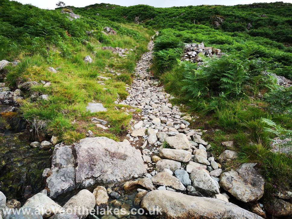
and the path that rises gently along the side of the fell
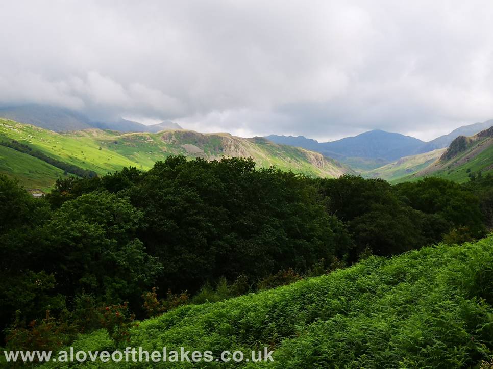
Looking back
towards the cloud covered Scafell group and Bowfell from the path
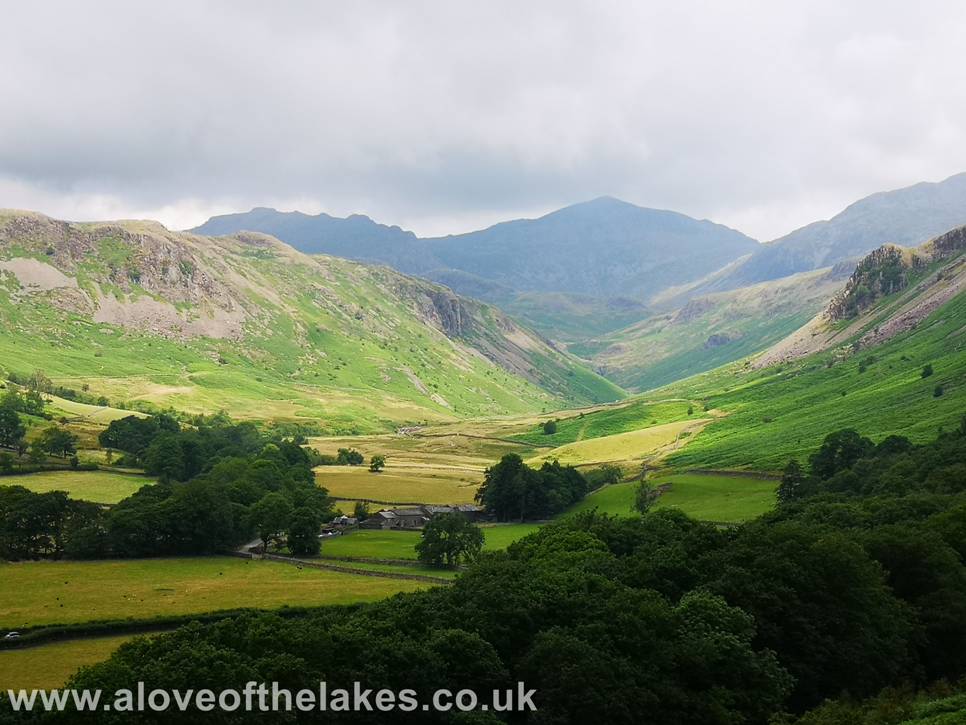
The Eskdale valley from the path
The path climbs
gently as it reaches the third hand gate
The path
continues through an area of braken
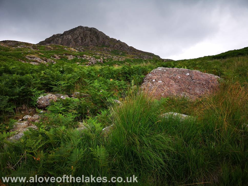
The upper
reaches of the southern face of Harter Fell from the path
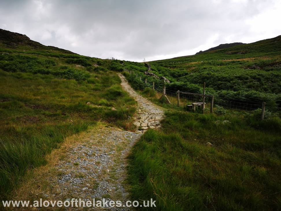
After about three
quarters of a mile or so the path levels off for as it approaches the southern
boundary fence of the
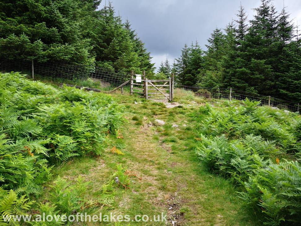
Approaching
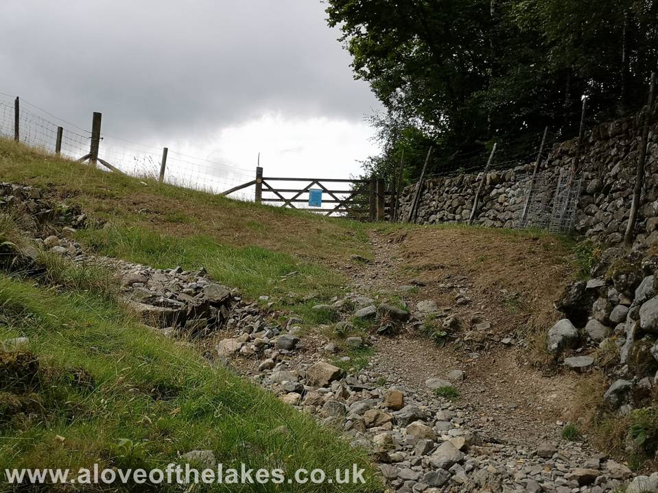
the boundary gate of the Hardknott forest. At this point the path turns left to
start the climb up the shoulder of Harter Fell
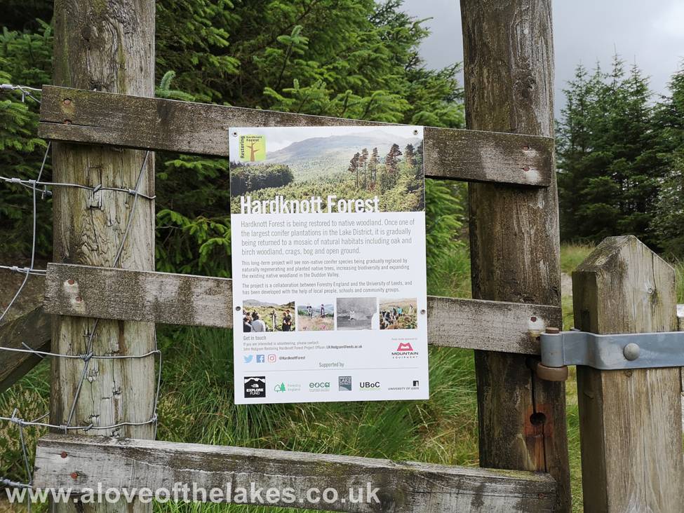
Some information
from the Forestry Commission
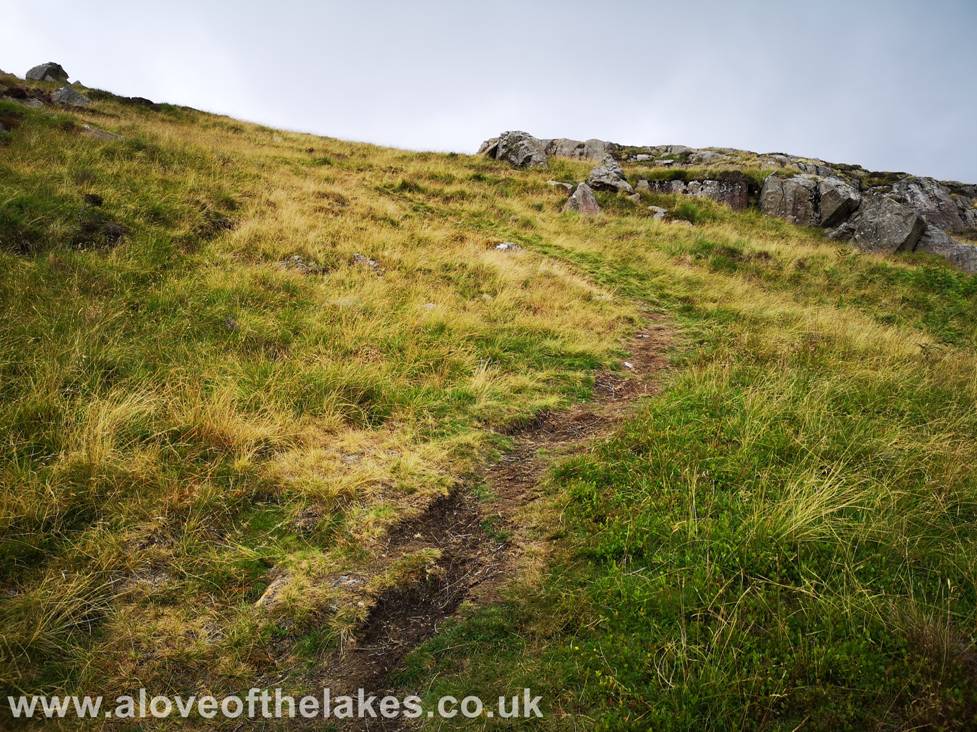
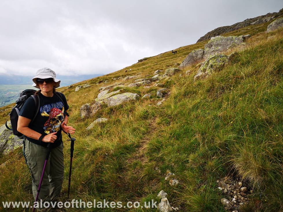
Starting the
climb up the eastern shoulder of Harter Fell
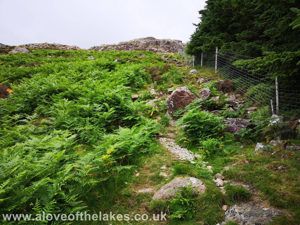
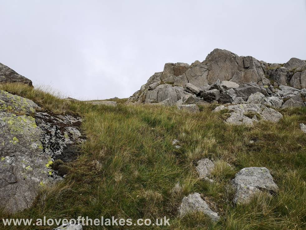
The path tends
to become more intermittent as it approaches a belt of crags
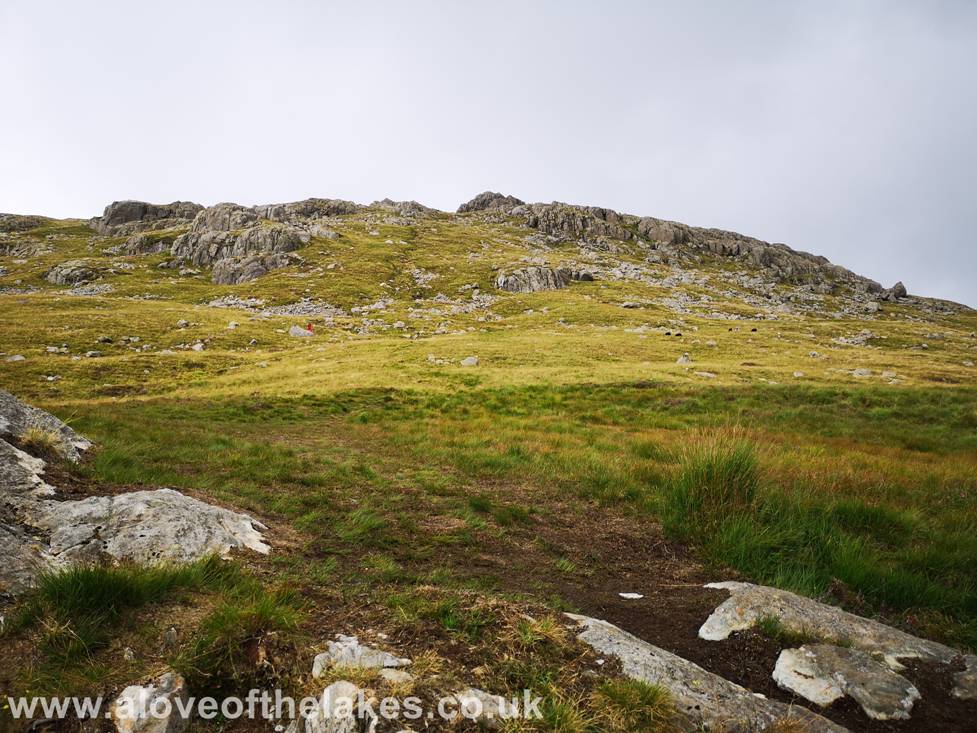
As the path
tends to fade in and out there is no right or wrong way to continue, we just
took the route of least resistance through the crags
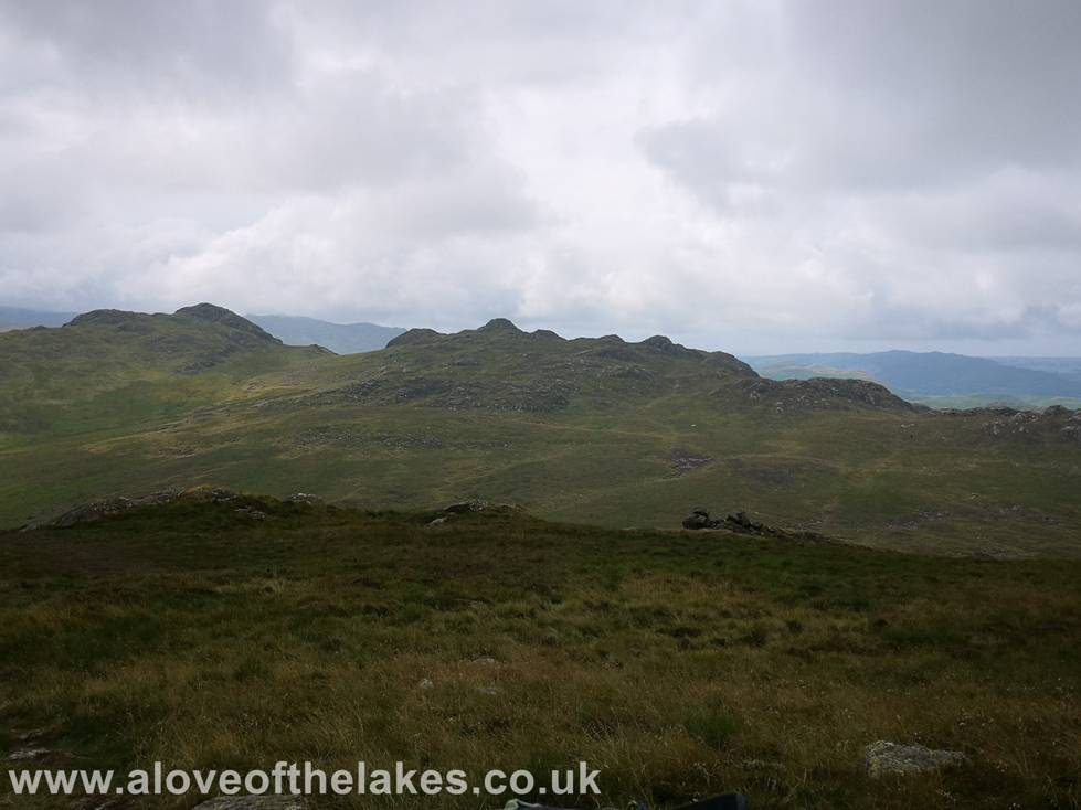
Looking towards
Green Crag and Crook Crag as we climb up the shoulder
Higher up the
shoulder and another path cuts across the belt of crags
Looking across
to Devoke Water
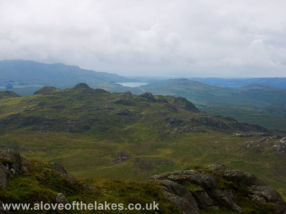
A natural break
in the crags leads towards the summit approach
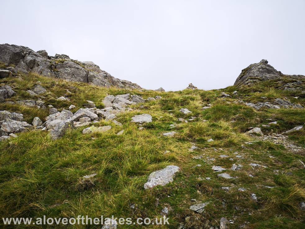
A marker cairn
indicates the route to the summit
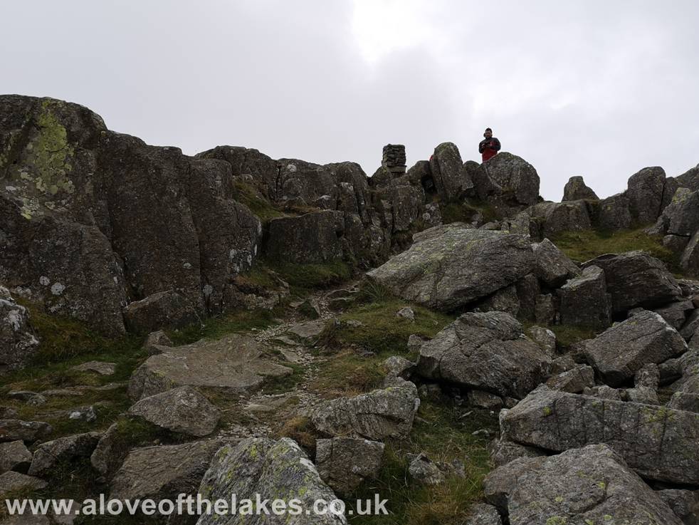
Approaching the
summit Trig column
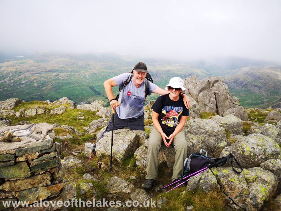
Made it ! – Sue and I on the summit of Harter Fell. Click here
for a 360 degree view … https://youtu.be/MdAJpe0zcek
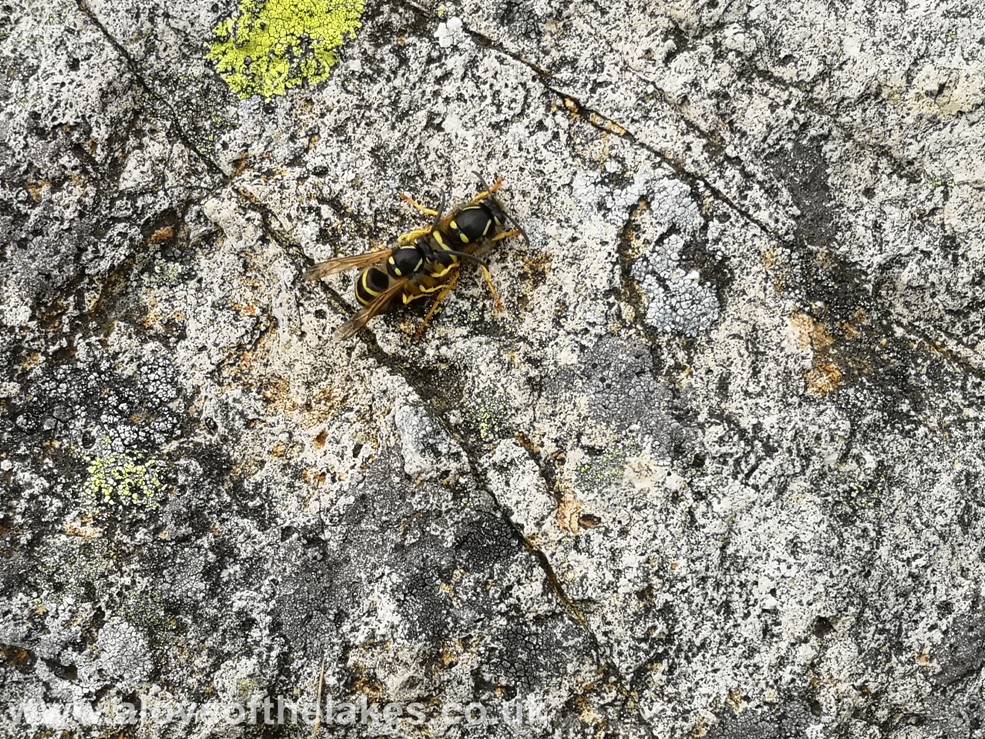
We settled down
on the summit for lunch, but was soon interrupted by a swarm of Digger Wasps –
these two in quite a compromising position !!
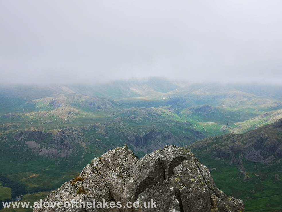
Unfortunately at
the time of us arriving on the summit a layer of low cloud hung over the Scafell group somewhat spoiling the views
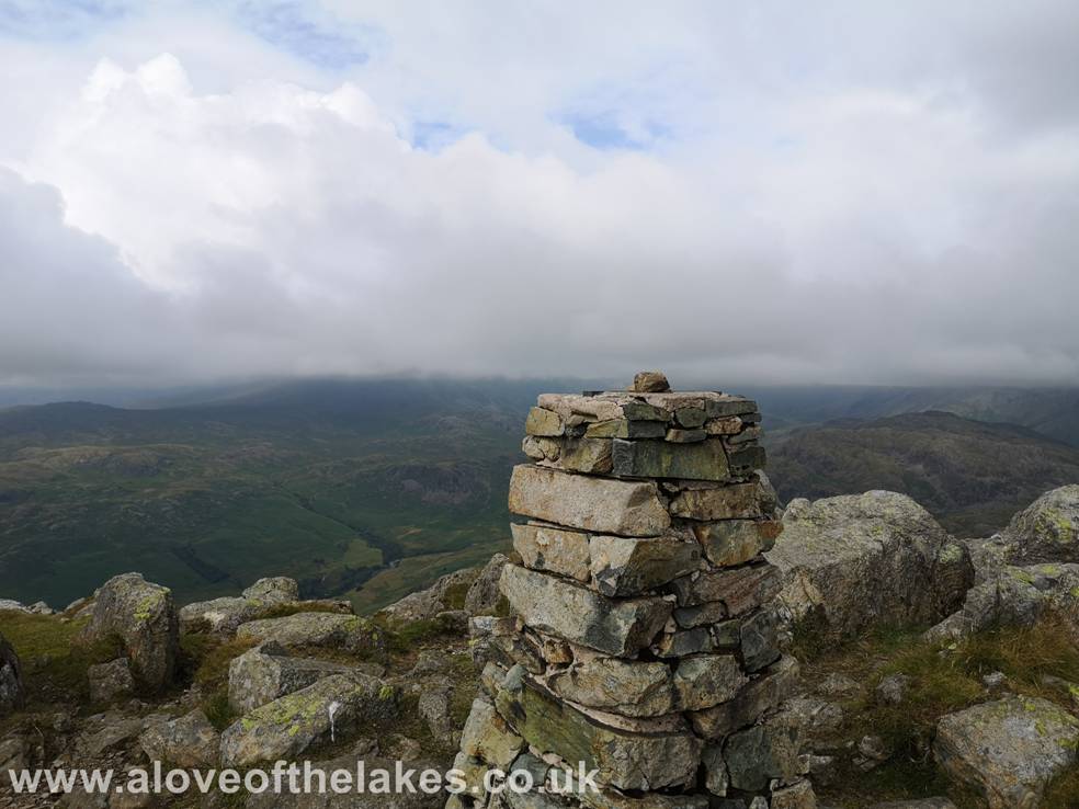
The summit Trig
column
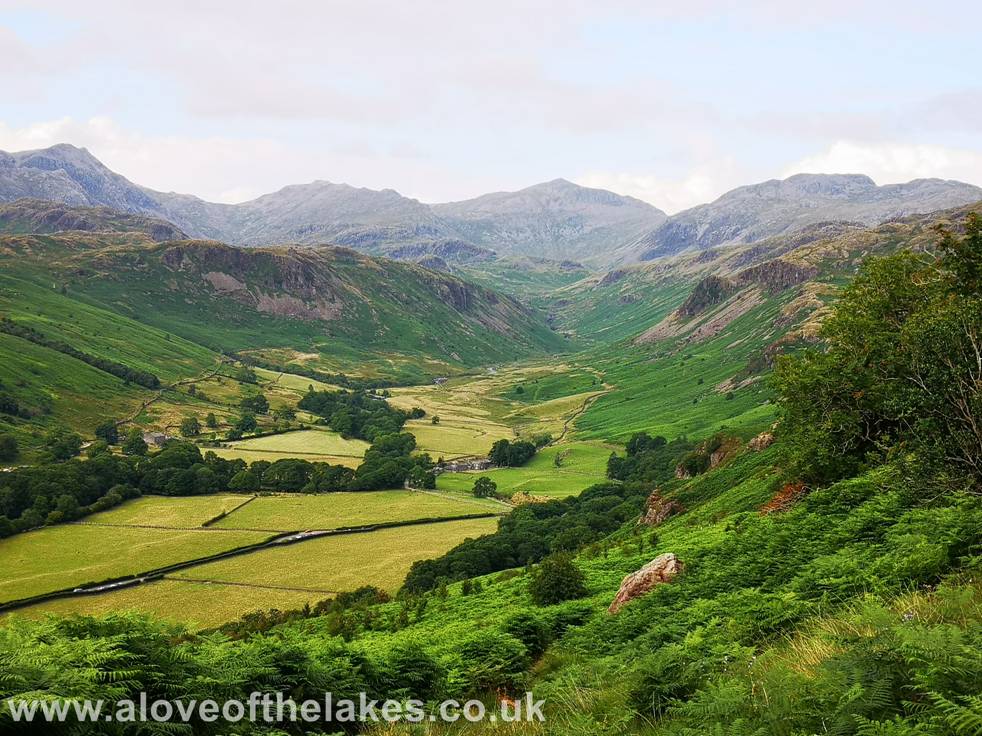
As we journeyed
back down the layer of cloud that hid the Scafells
had shifted providing some dramatic views – Typical !!
Copyright ©
aloveofthelakes.co.uk 2011 - 2021