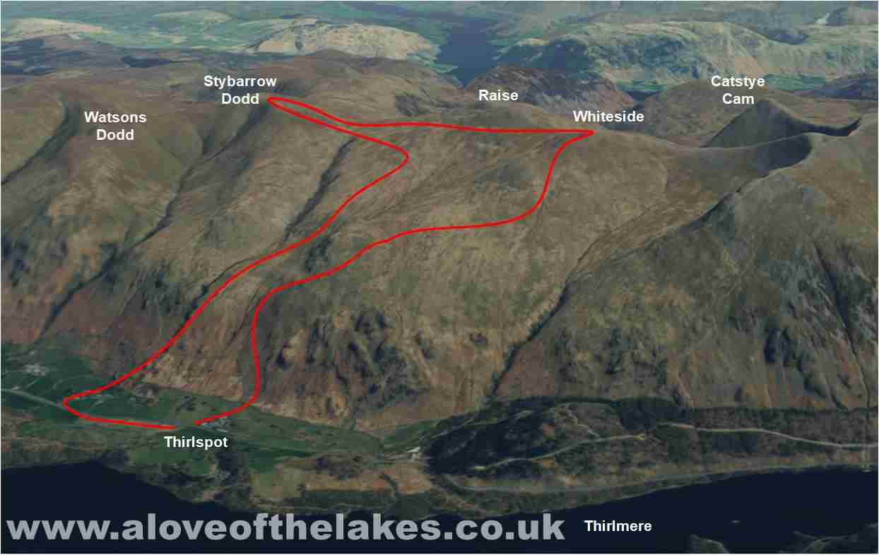
Walk : White Side (2,832ft) Raise (2,889ft) and Stybarrow Dodd from Thirlspot
Date : 18th March 2016
Weather : Dry and fine with a temperature inversion @ 16 °C
Distance : 7.5 miles round trip
Difficulty : 2 to 3 – A steep pull up the Western face hard going in
parts
(1=easy 5=hard)
Which
area of Lakeland is this walk situated?
Terrain
Overview
Walk
Overview
A remarkable day weather wise in
the Eastern region of the Lake District with a temperature inversion to be enjoyed
on the top of
the first fell (White Side)
followed by fast shifting fog on Stybarrow Dodd
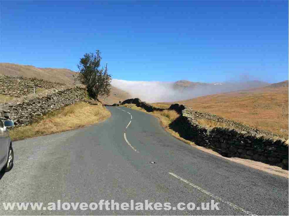
Due to the remaining closure of the
A591 at Grasmere (because of the storm Desmond) I had to journey via the Kirkstone Pass
through Glenridding and Dockray to get to the A66 Keswick bound before turning on
to the open part of the A591 to get to Thirlspot
On the way I came across the
inversion that was hanging over the Central and Eastern regions

The starting point of the walk, I
parked on the grass verge at the side of the A591 and here looking back North you
can see the
other edge of the inversion with Blencathra peeping over the top
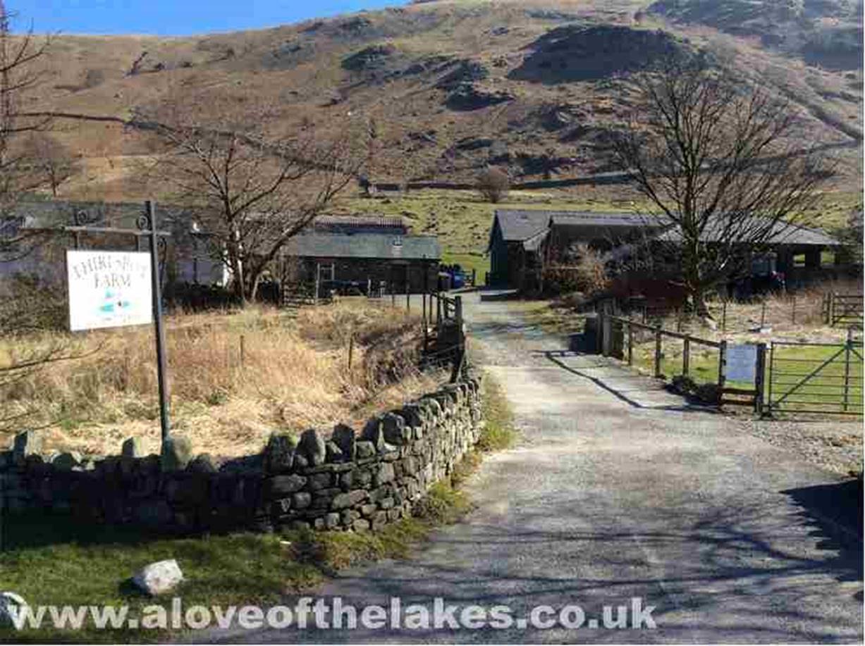
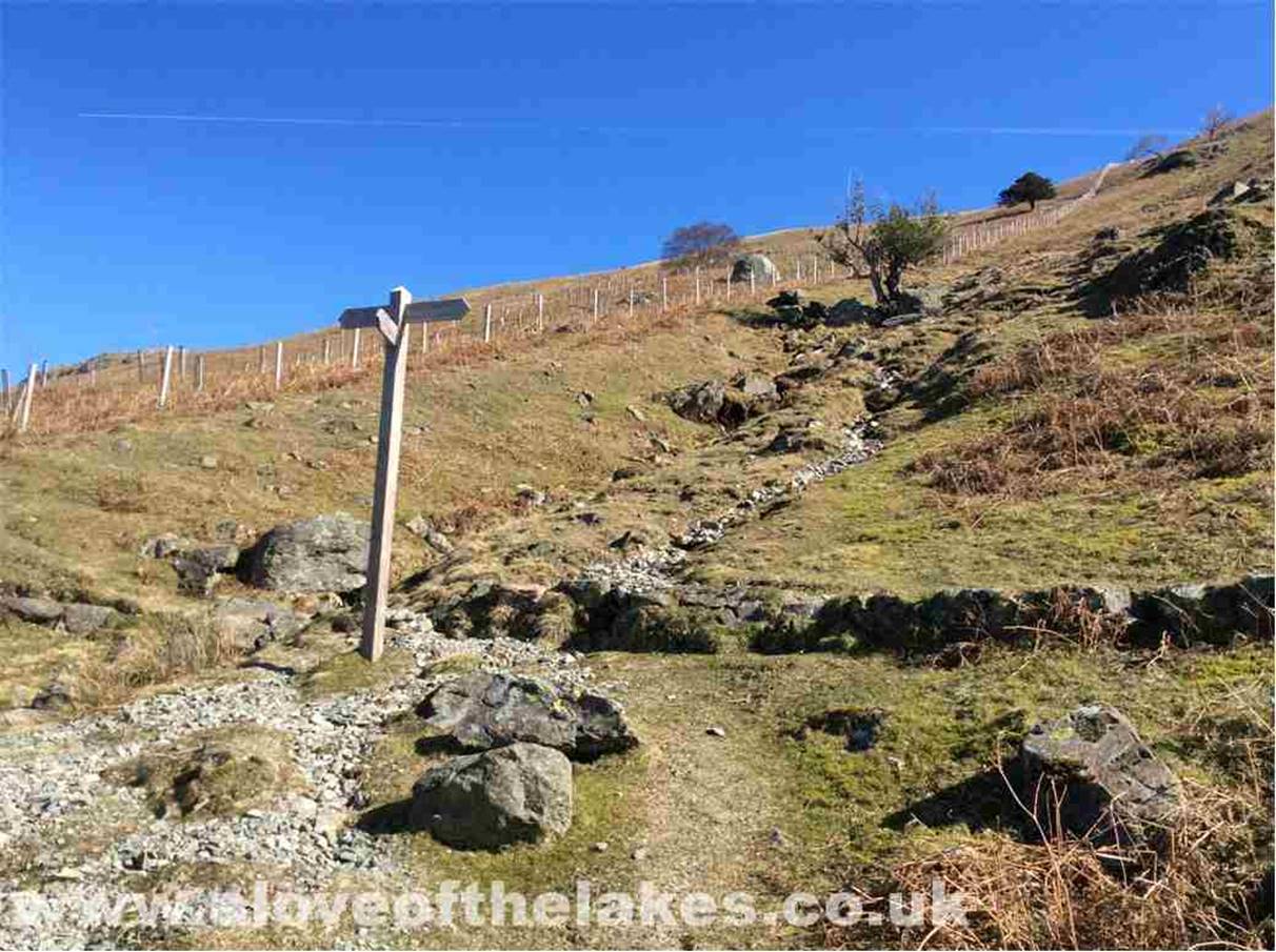
The walk starts along the path
through Thirlspot Farm
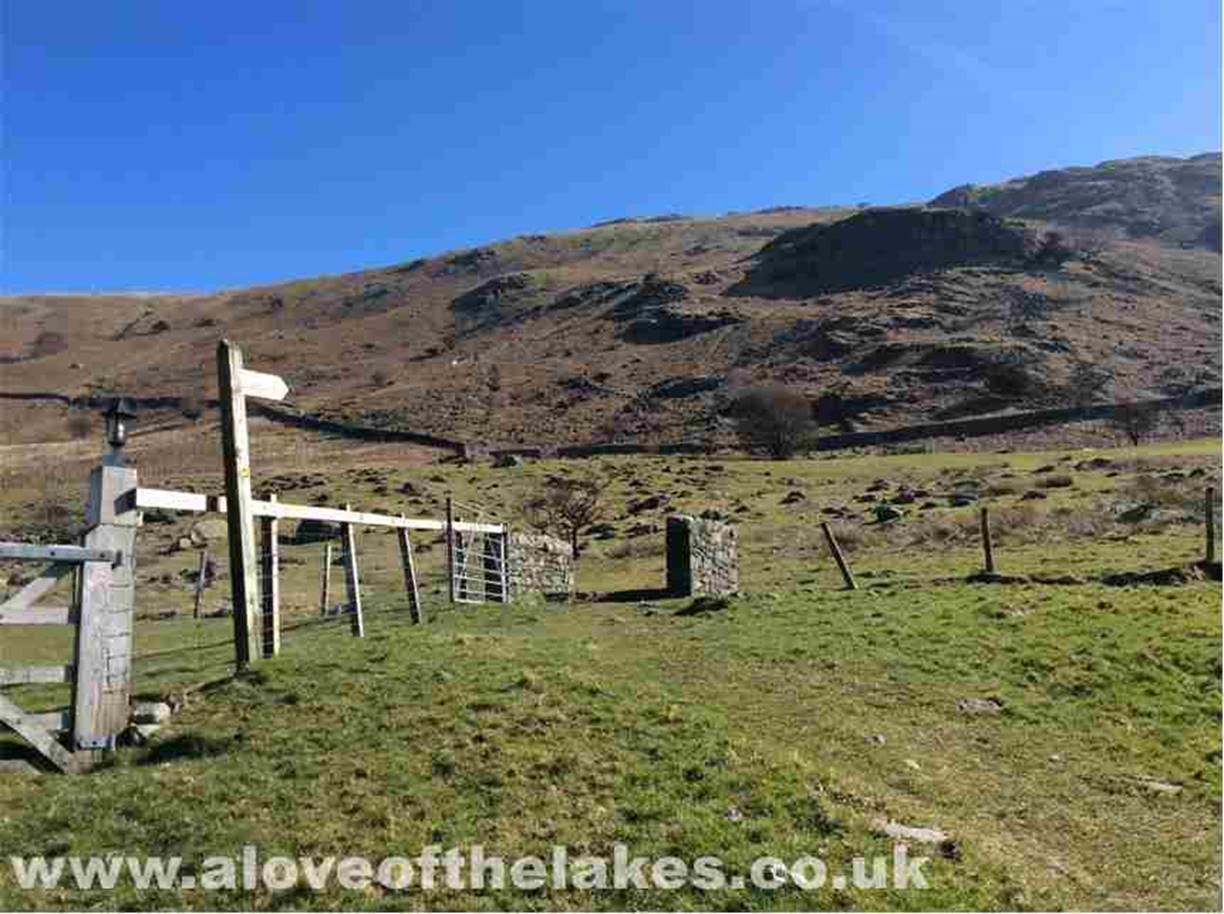
Through the farm and across the
fields to a gate in the retaining wall on the far side
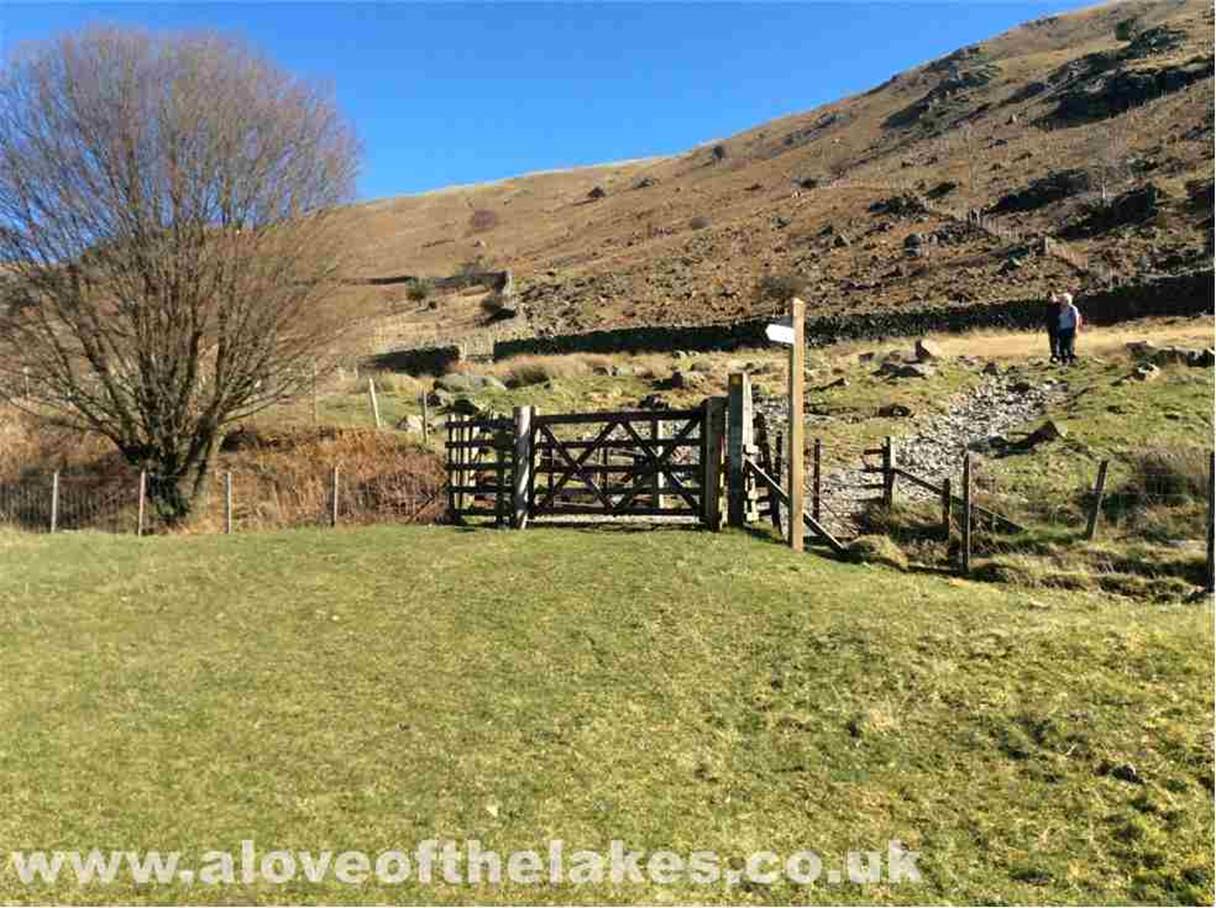
Through the gate and access to the
open fell is gained by crossing the Thirlmere Reservoir water race
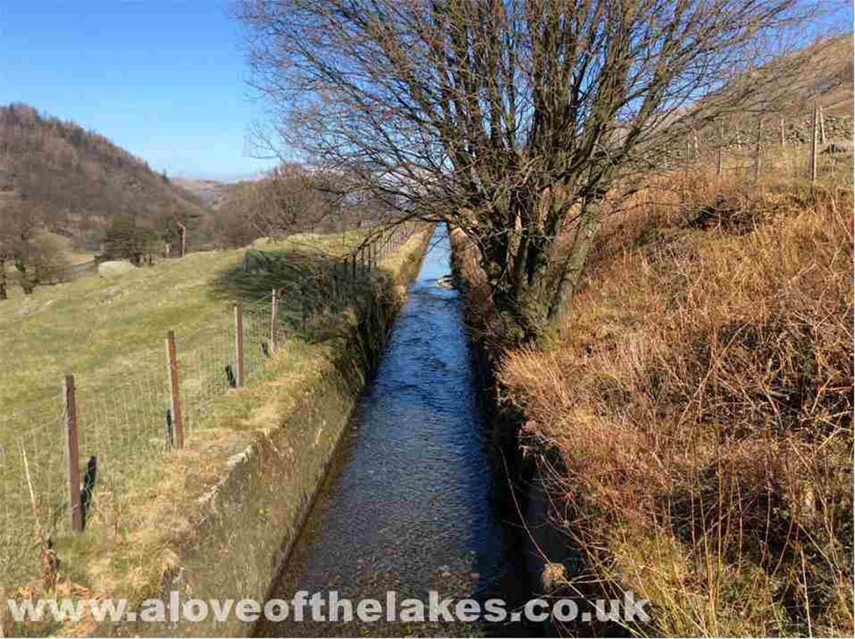
The water race
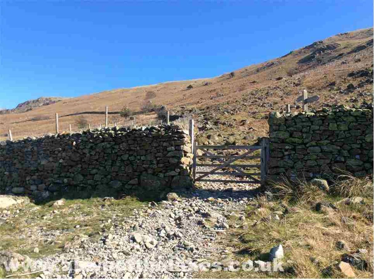
Through the final gate and things
start to get quite steep from here on in
Knowing what I now know, my advice
would be to head across to the wire fence and “pull your way” up the steep fell
side rather
than what I did using the
intermittent stone path (formerly the old Pony route)
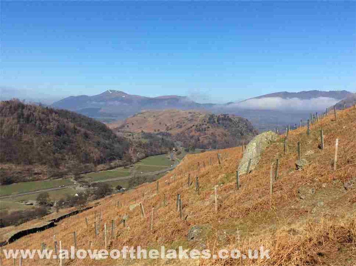
Looking North across to Skiddaw and
Blencathra, now slightly more visible
Close up on the Skiddaw range. The
empty A591 below
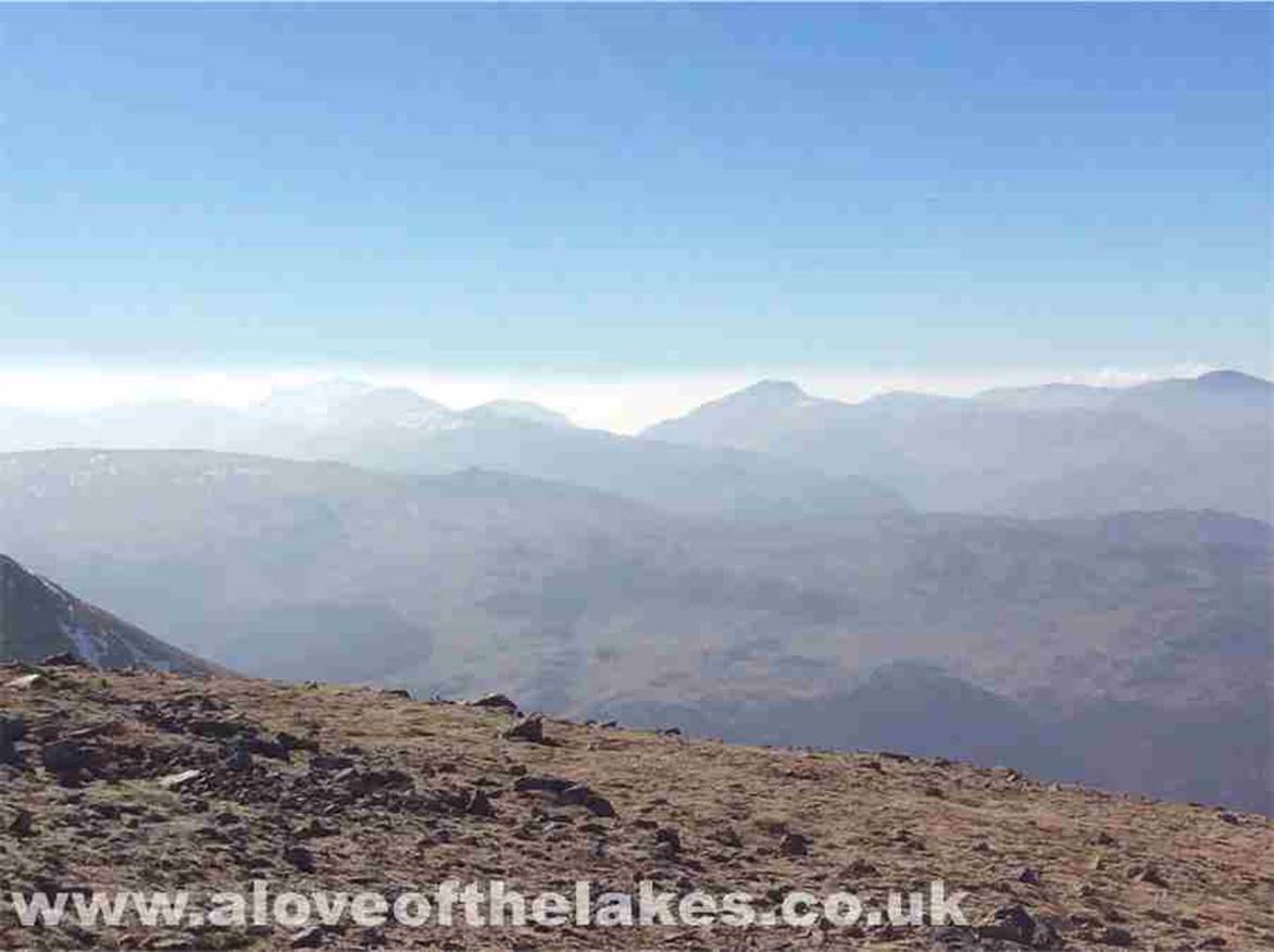
Looking West towards Thirlmere and
in the far distance Great Gable and the Scafells
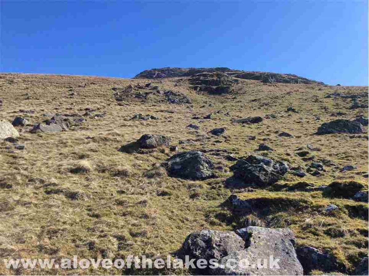
The wired fence and the stone wall
come to an end and the journey carries on very steeply over grass heading
towards Brown
Crag. The aim here is to head for a
marker cairn at the left hand side of the Crag

The marker cairn. From here, strike
a route inwardly (right) away from Brund Gill that
runs parallel to the slope. Head round the
base of Brown Crag
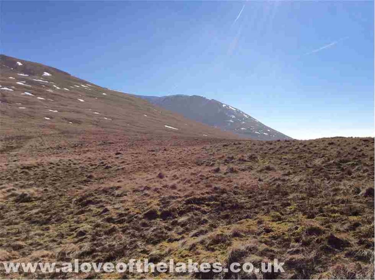
Looking right to the towering slopes
of Browncove Crags and Helvellyn
Lower Man
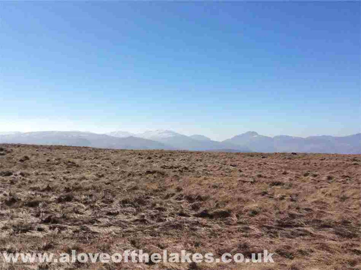
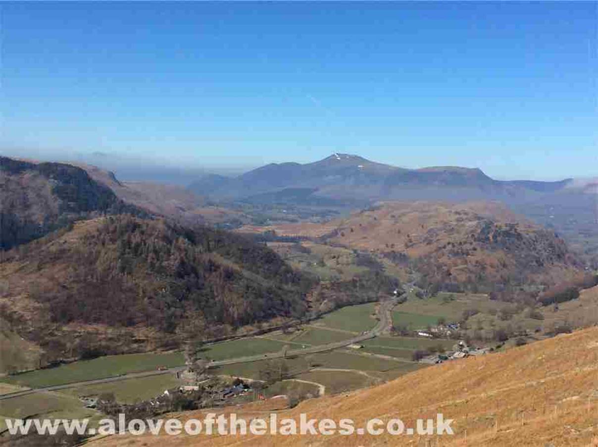
Baked in sunshine and blue skies.
The Scafell range
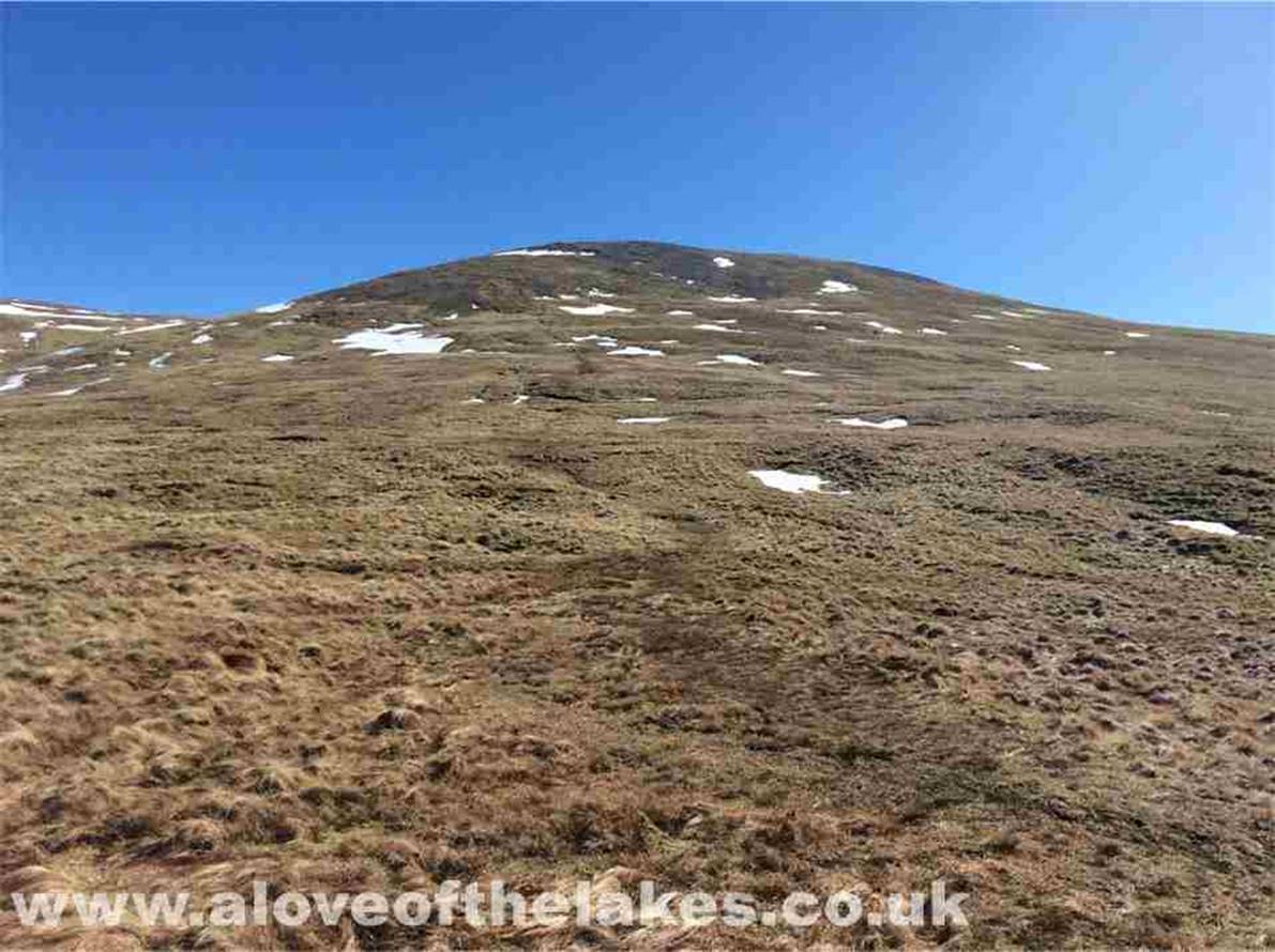
At this point the path disappears
somewhat and the going turns somewhat heavy over sodden grass
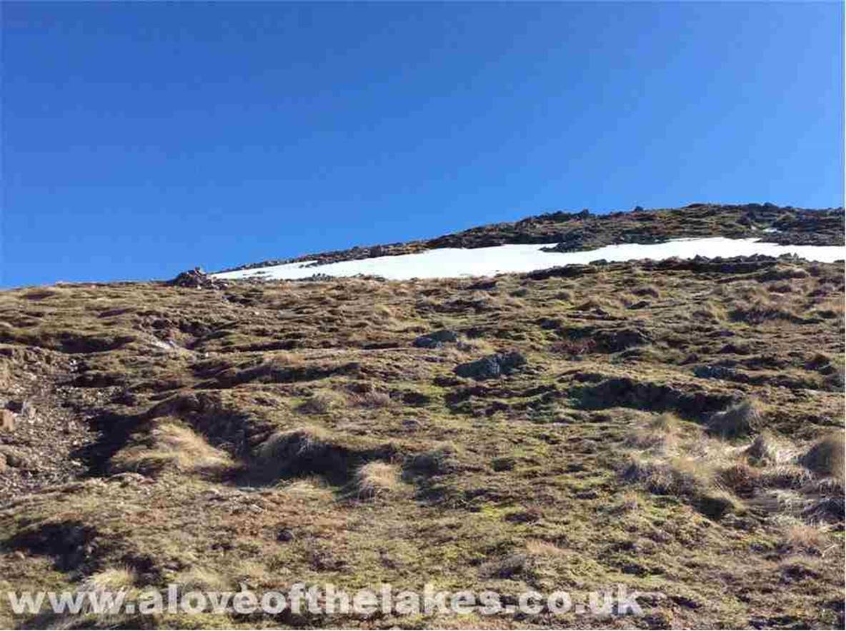
Higher up and a series of marker
cairns help to keep you on track
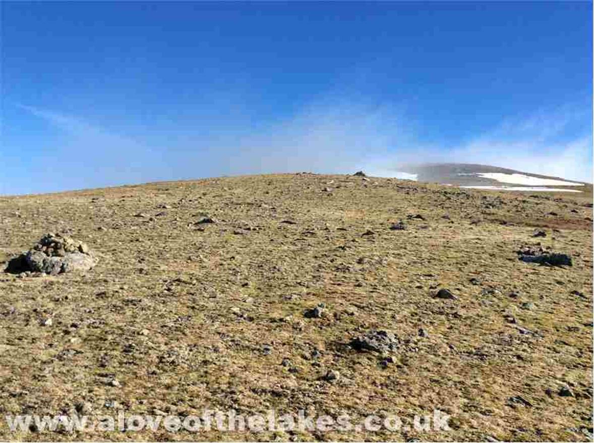
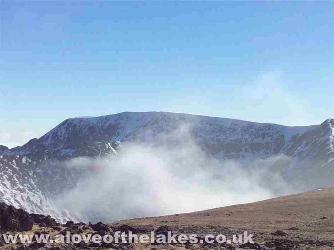
From the final marker cairn, the
summit (shrouded in mist) becomes visible
The welcome sight of the summit
shelter cairn

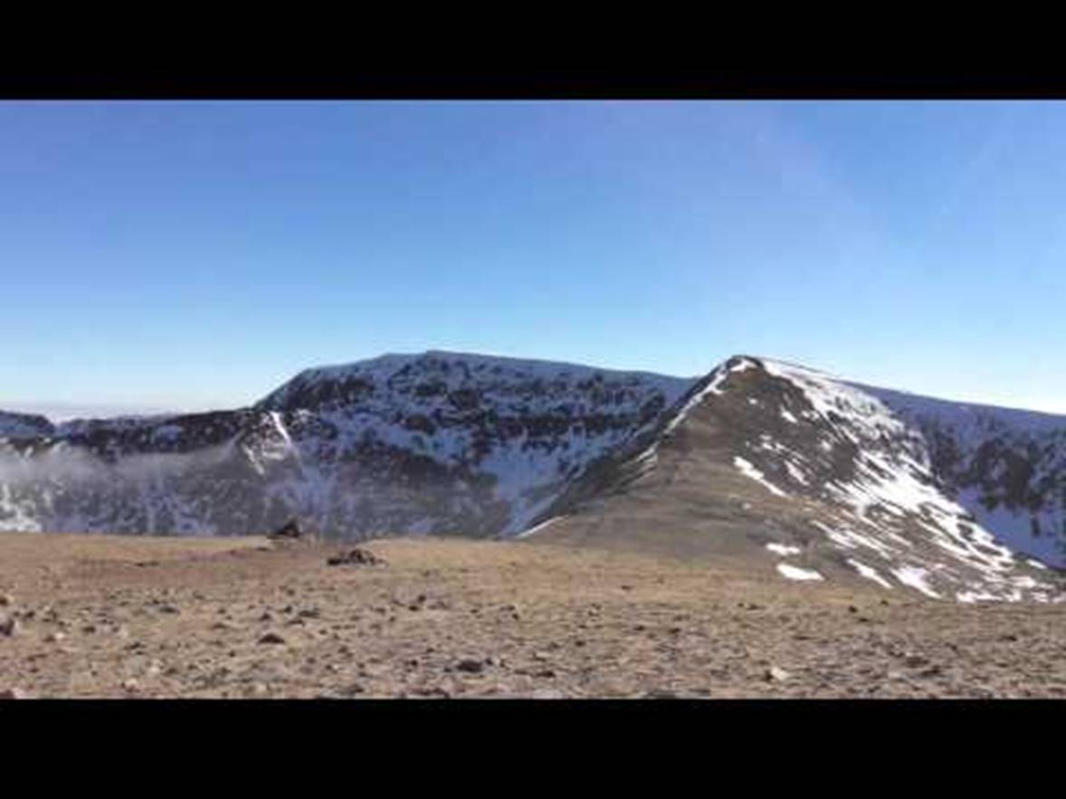
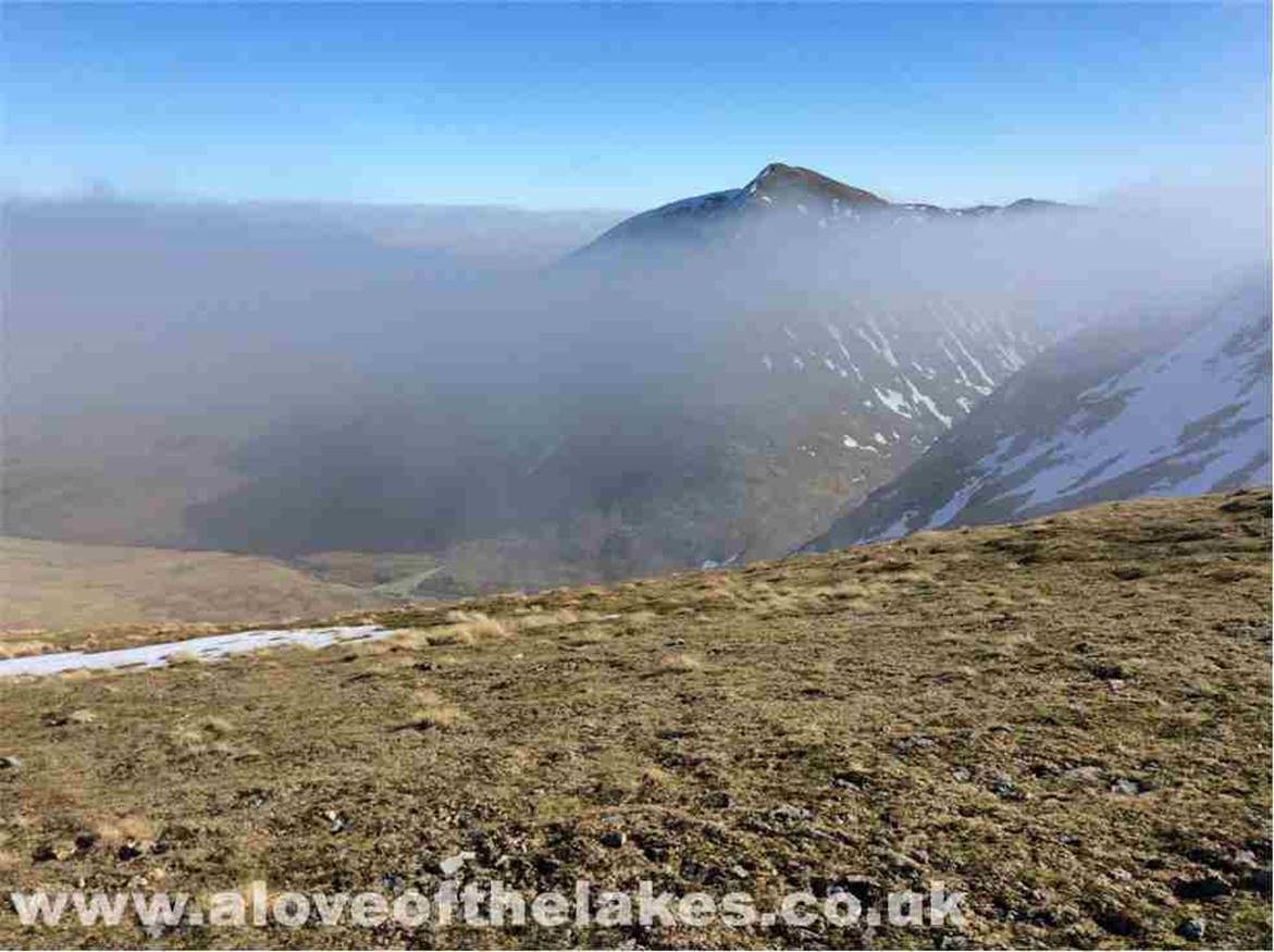
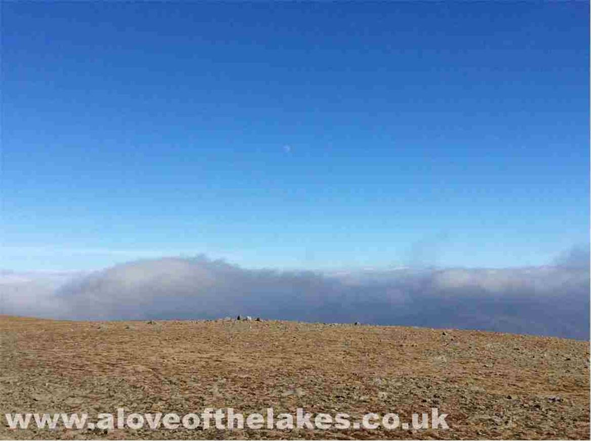
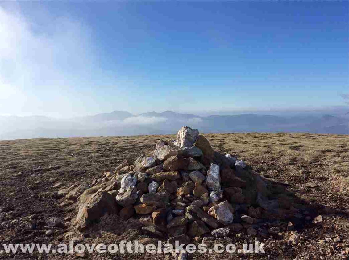
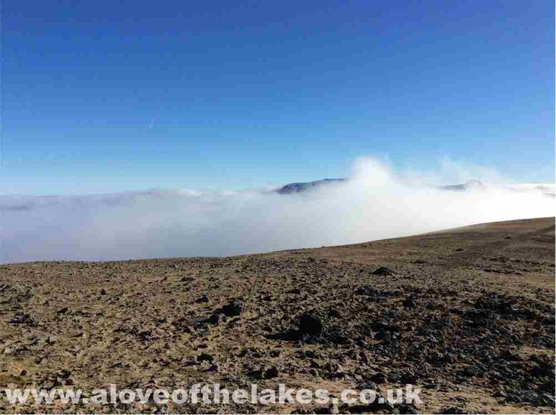
Wow !! at 2,830 odd feet I find
myself at the summit and just above the cloud inversion. Helvellyn
and Swirral Edge feature
prominently above the cloud layer
Looking towards the steep ridge
leading up to Helvellyn Lower Man

Catstye Cam
peeping out of the clouds on the left
A 360 degree
view from the summit
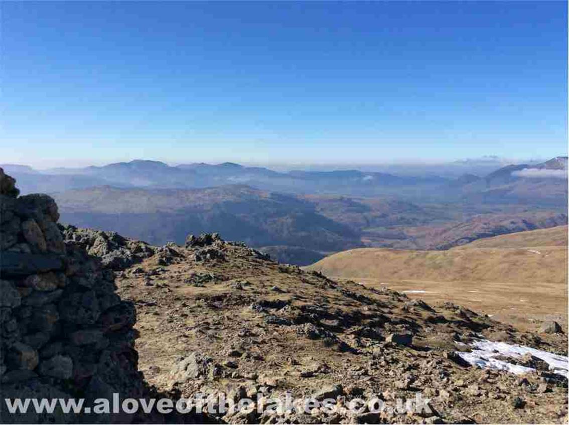
Looking South west towards Great
Gable
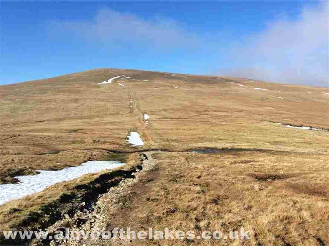
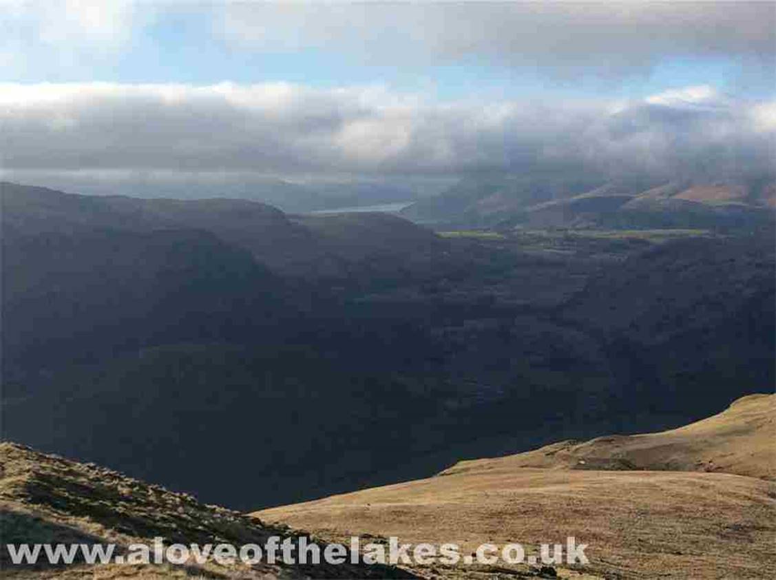
From the summit I headed roughly
East towards the second Fell of the day … Raise. A clear footpath can be
followed all
the way with little difficulty
Within minutes of my journey over
to Raise, the inversion returns and starts to cover the previously clear Catstye Cam
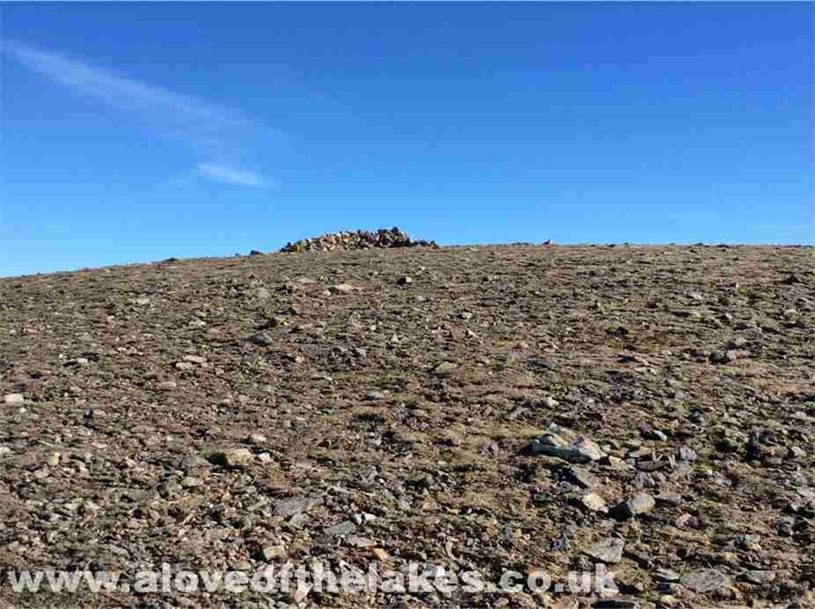
Approaching the summit cairn of
Raise
Need to move on quickly as the mist
is coming in thick and fast

Looking back to Helvellyn
Lower Man from the summit cairn
A 360 degree
view from the summit
Close up of Helvellyn
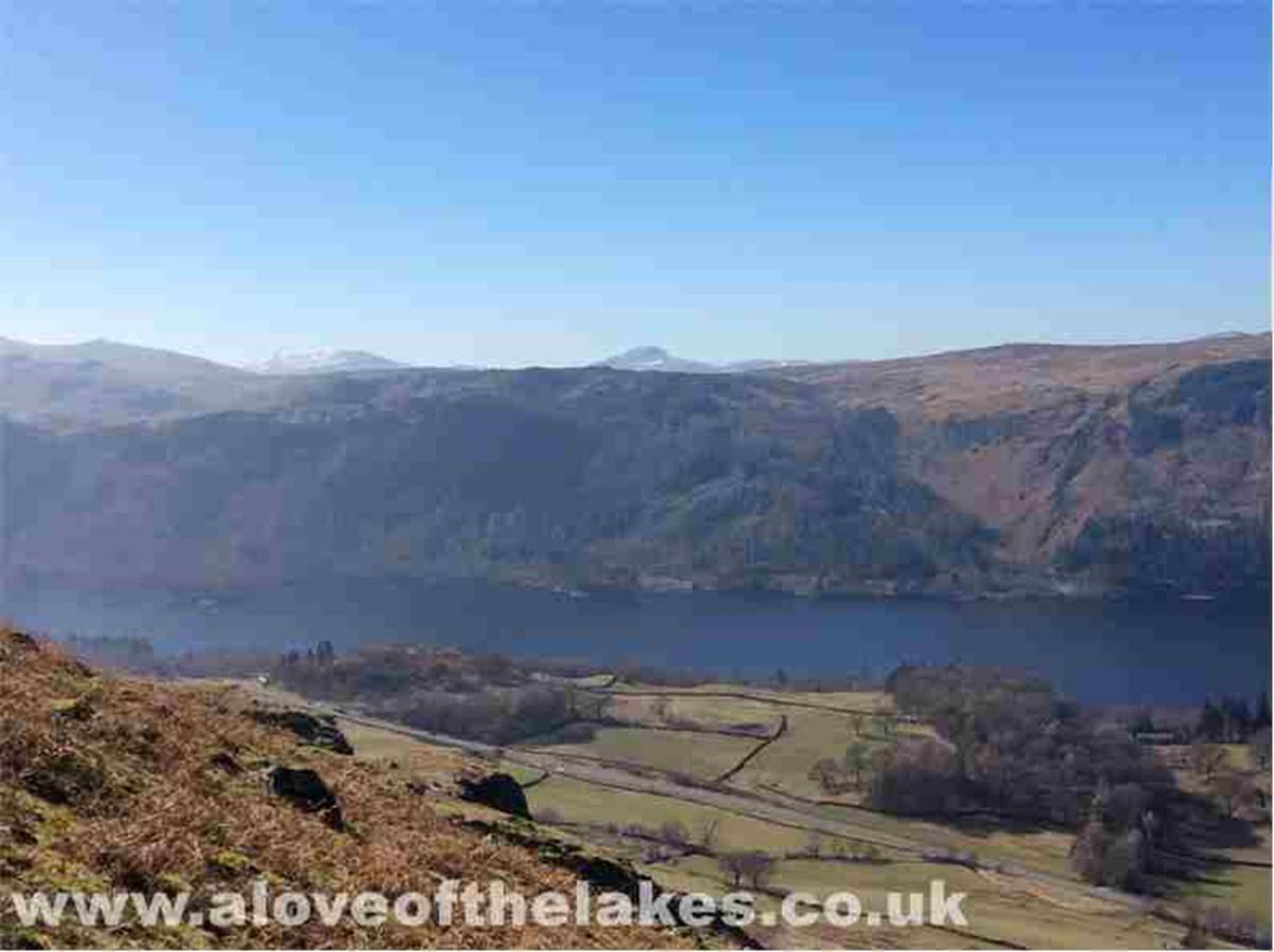
Looking North West towards Keswick
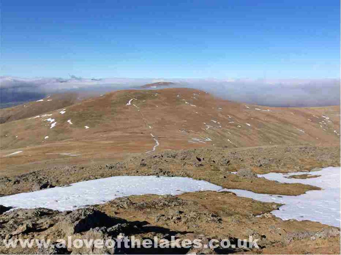
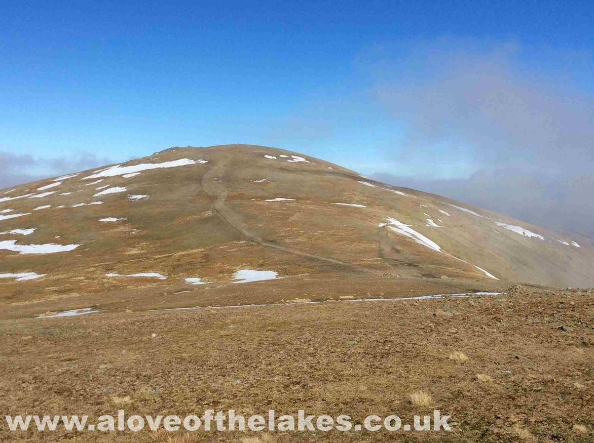
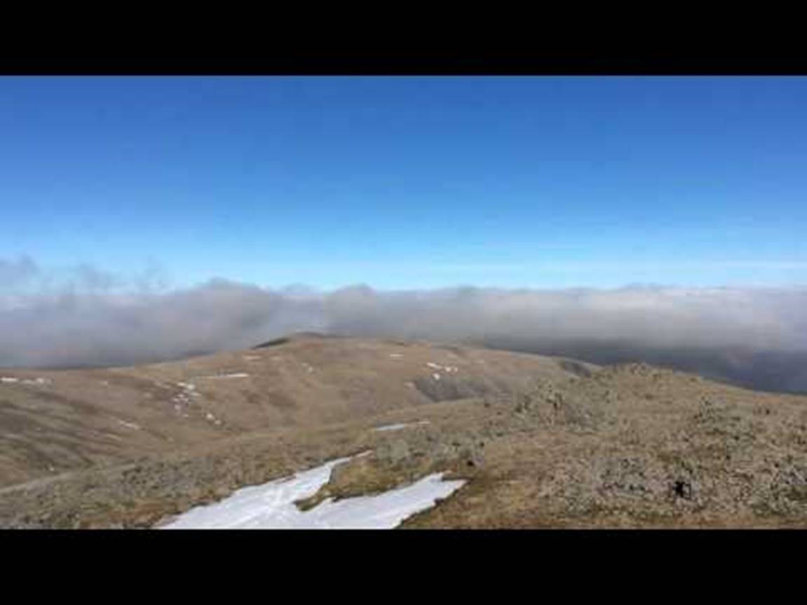
The footpath towards the flat
topped Stybarrow Dodd
The path seen running across the
route to the summit is the Sticks Pass which will be my route back down
afterwards
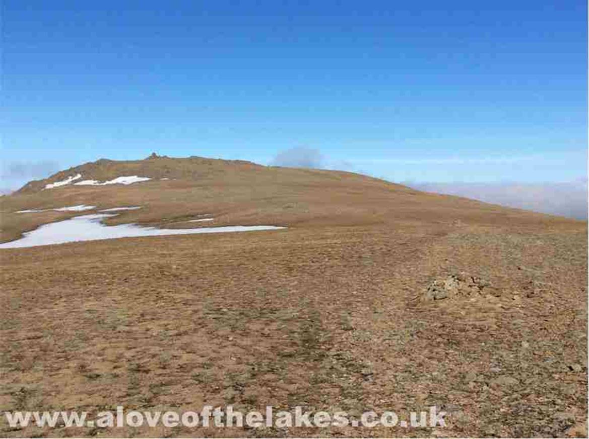
Its difficult to tell which is the
higher cairn on the summit of Stybarrow Dodd, there
is one that is slightly off the main path
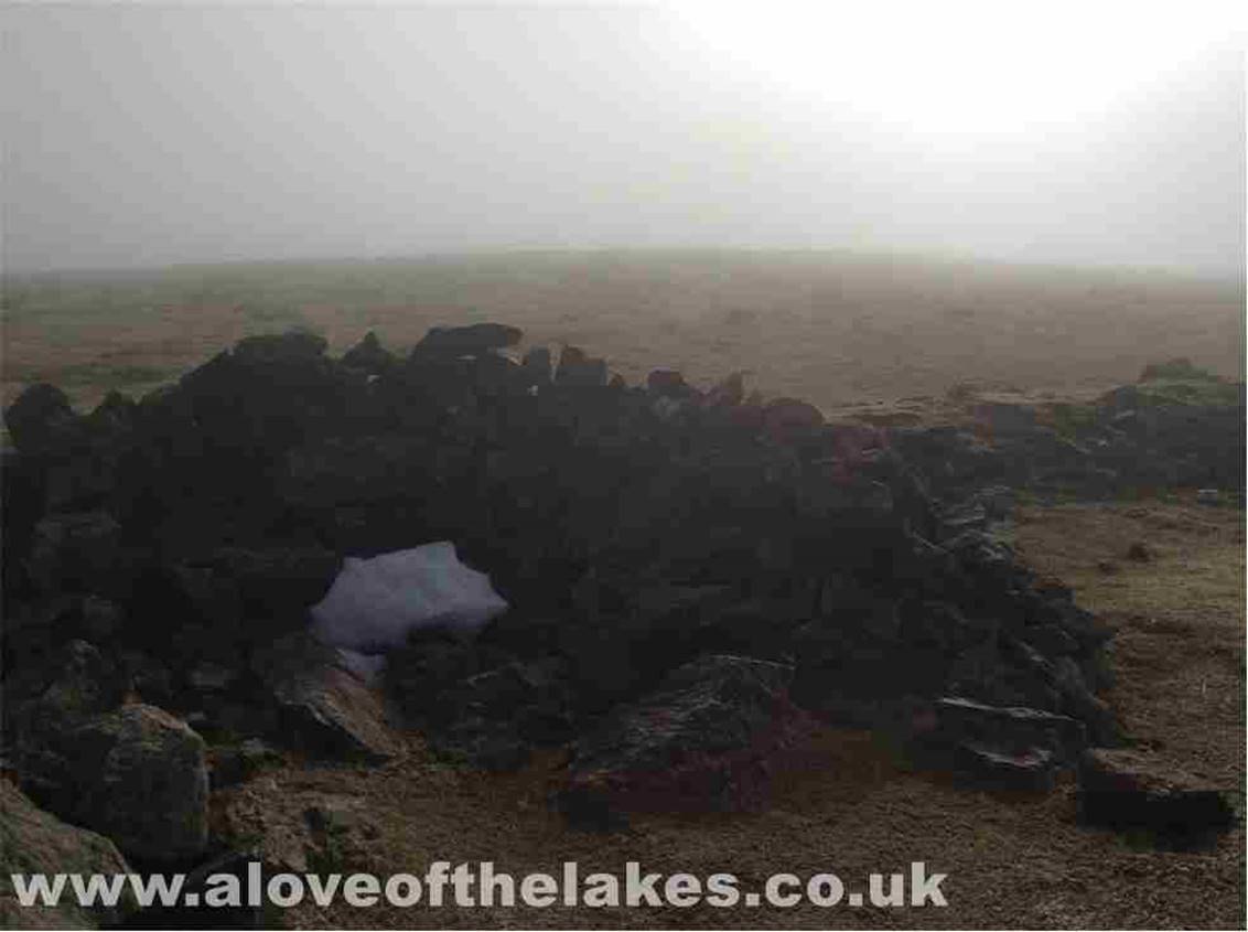
Or, there is this one about a
quarter of a mile further East. I did regret visiting this one as the mist came
in and navigation
back to the Sticks Pass became
quite tricky
Thankfully back out of the mist
just before I start to descend the Sticks Pass
As I journeyed back down the cloud
started to move in for keeps – here looking North towards Bassenthwaite
Lake
Copyright © aloveofthelakes.co.uk 2011 –
2021