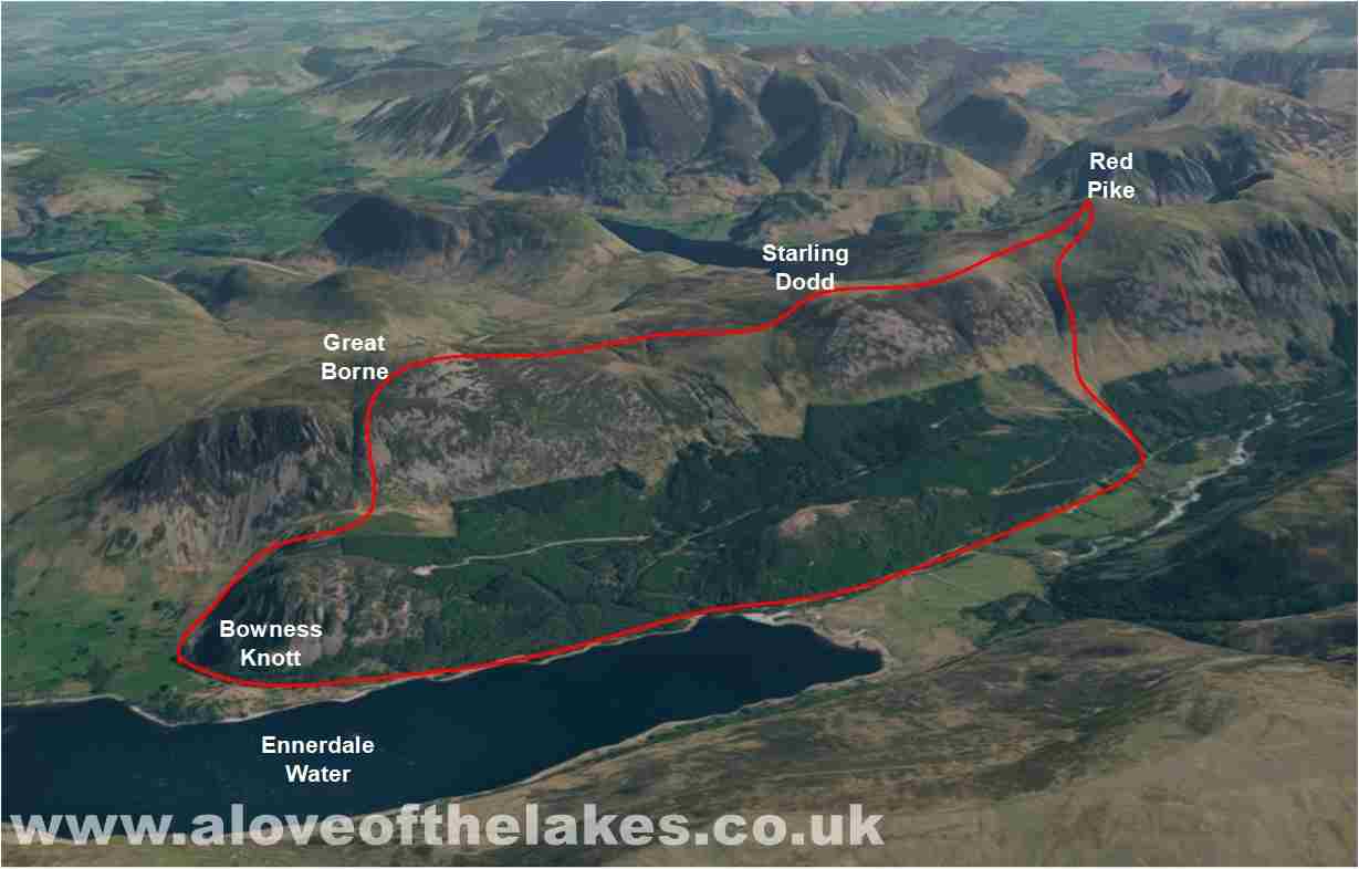
Walk : Great Bourne (2,019ft),
Starling Dodd (2,085ft) & Red Pike (2,479ft) from Bowness Knott
Date : 19th September 2016
Weather : Sunny, clear skies @ 17 °C
Distance : 8 miles round trip
Difficulty : 2 to 3 – The route from Bowness Knott to Great Bourne via Rake Beck is “adventurous” with
areas of exposure across
slippery rock
(1=easy 5=hard)
Which
area of Lakeland is this walk situated?
Terrain
Overview
Walk
Overview
The route from Bowness Knott to
Great Bourne is direct and in my opinion quite
adventurous climbing steeply up the side of Rake Beck
over slippery wet rock where there
are some areas of exposure. Once on top the relatively flat ridge walk all the
way up to Red Pike
is straight forward. Also,
adventurous as when we left the summit of Great Bourne
Sue found the only pot hole for miles to fall down
and breaking her Fibula. At one
point we genuinely thought we would be coming down by air ambulance, however
being made of stern
stuff she carried on to Starling
Dodd and Red Pike albeit at a greatly reduced pace
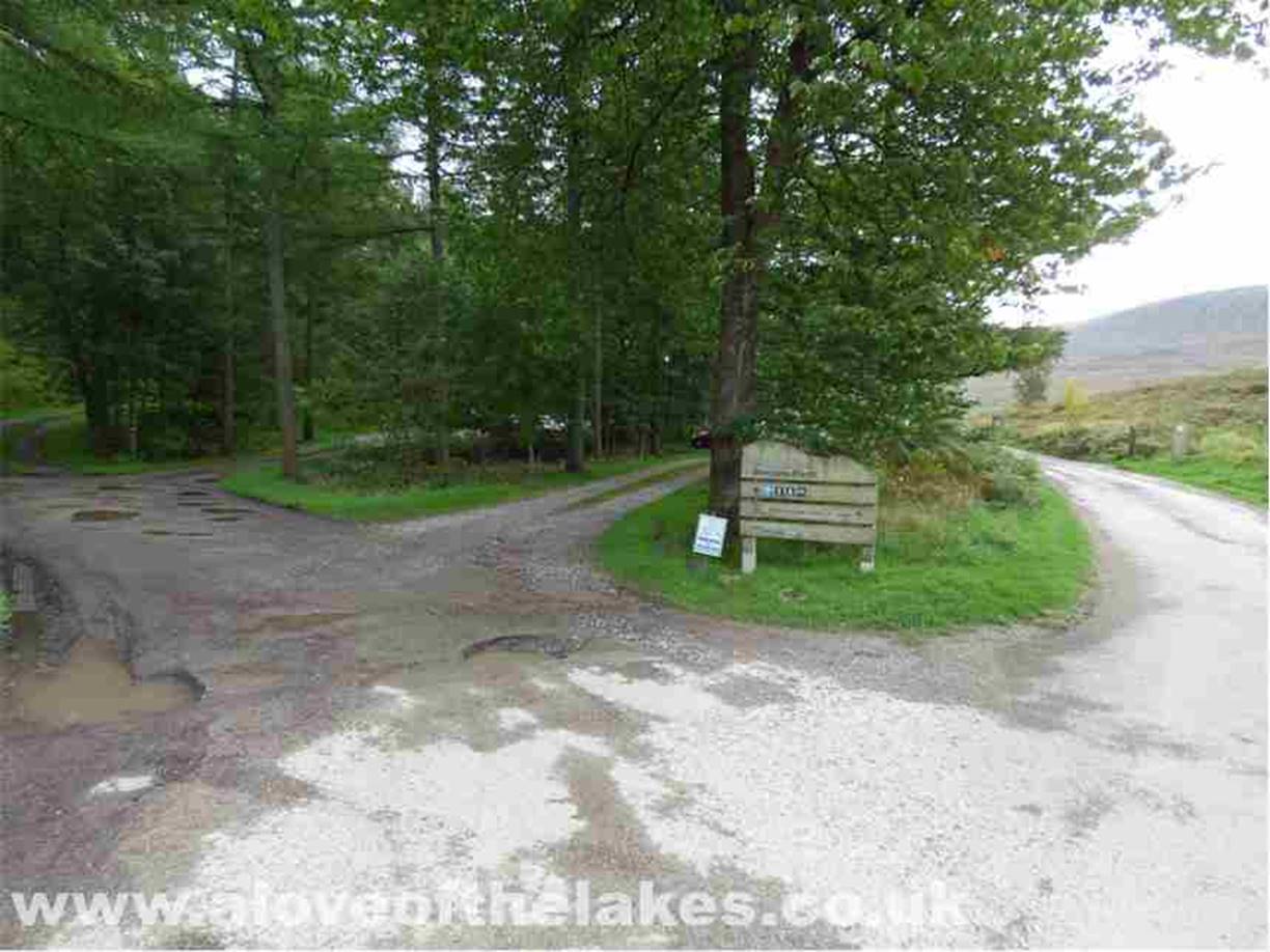
From the A66 follow the signs for
Ennerdale Bridge and Croasdale and take the narrow
road that leads to the Bowness Knott car
park which is the start point for
this walk. The path seen on the right will be our eventual return route from
High Gillerthwaite
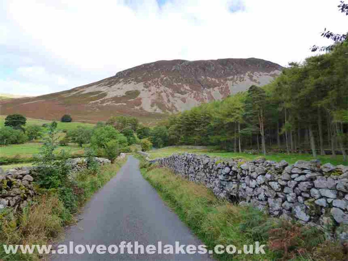
From the car park head back down
the path that you may have just drove up towards Herdus
(seen in front)
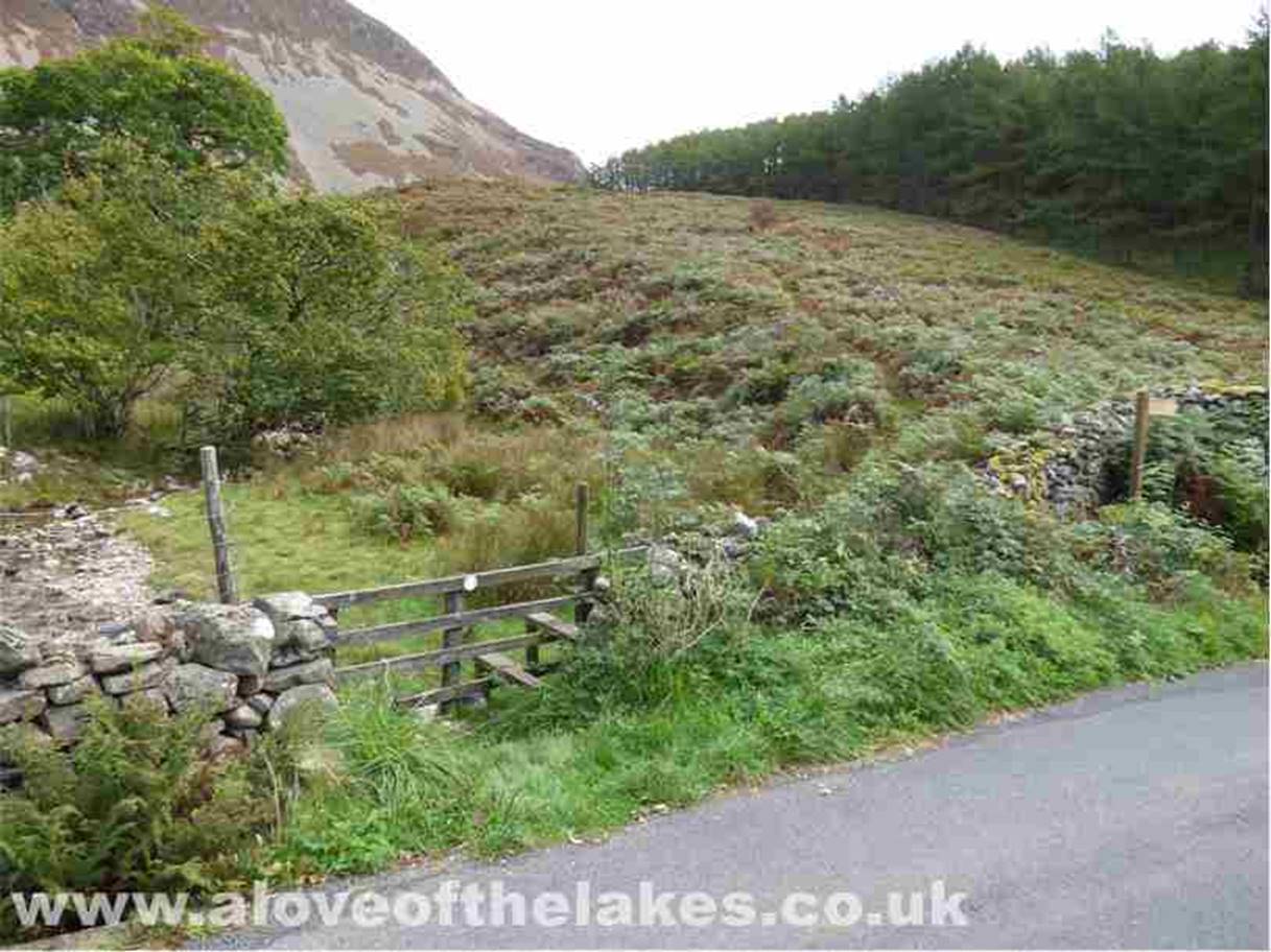
After about half a mile or so a
path that cuts through dense heather is accessed from a stile in the fence on
the right
Head for the point of the edge of
the tree plantation that is at the foot of Bowness Knott in the dip
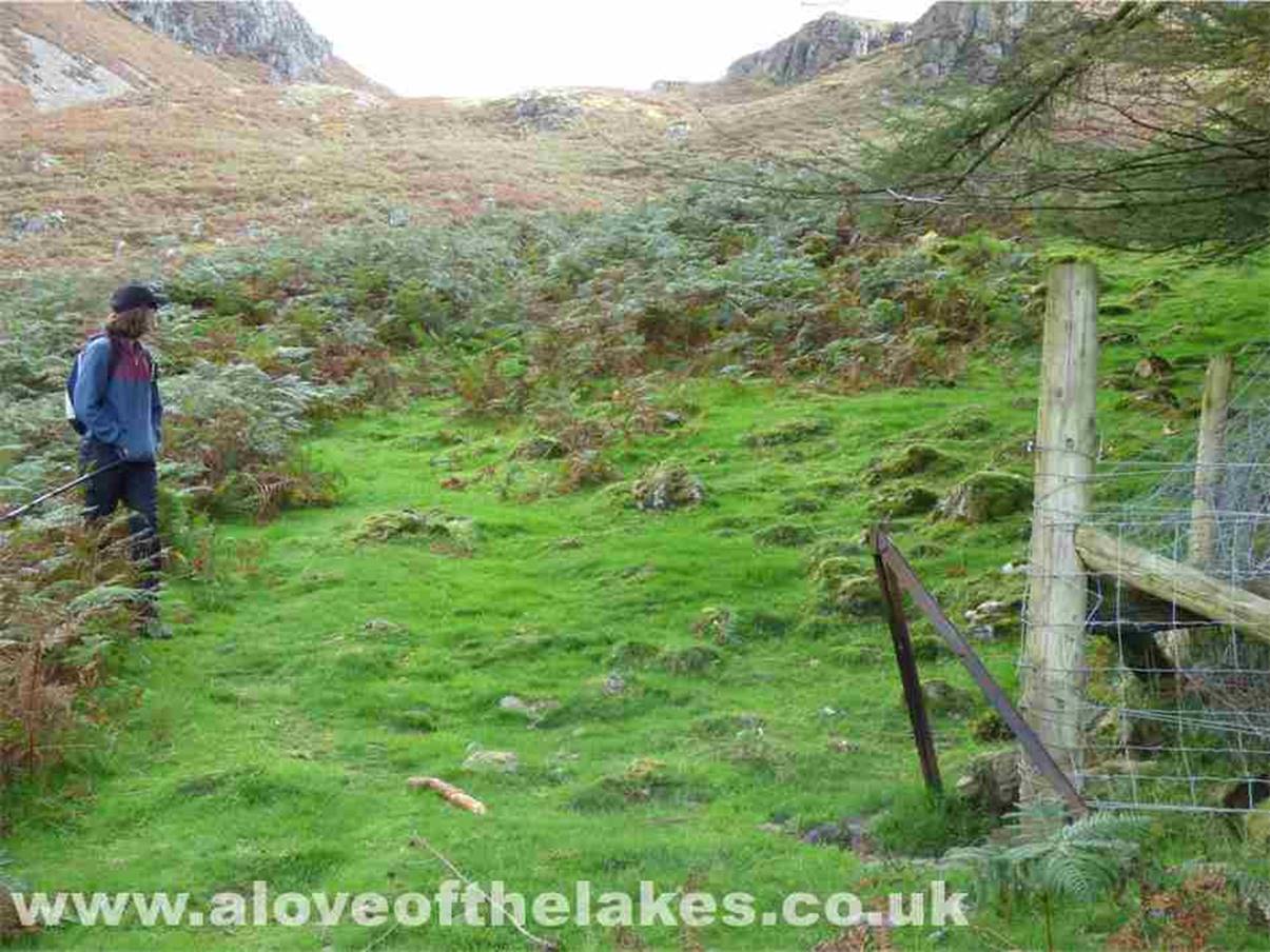
At this juncture, the path swings
left through the heather and heads for the Col between Great Bourne on the left and Brown
How on the right
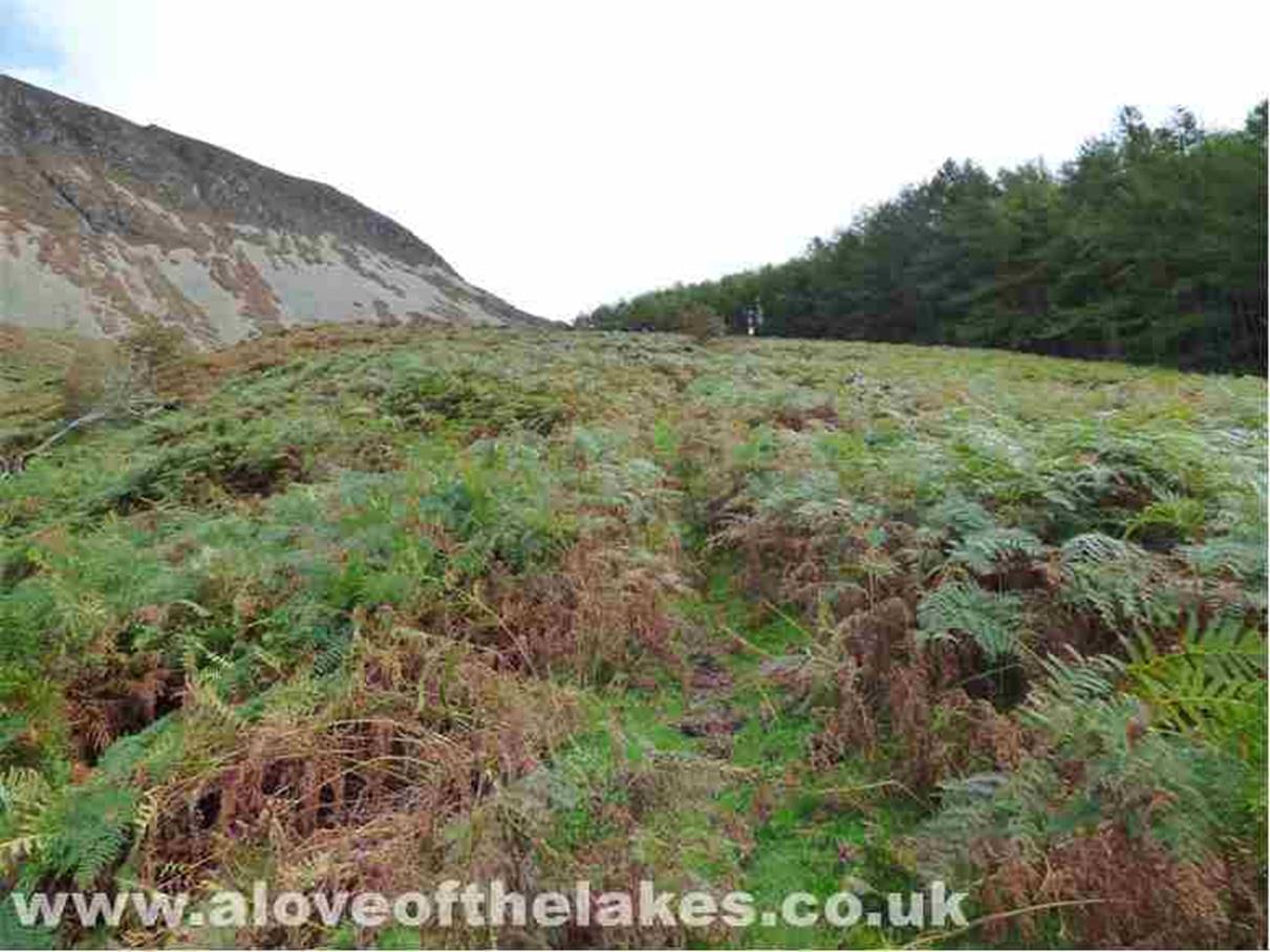
Keep left as the path cuts through
some very dense heather
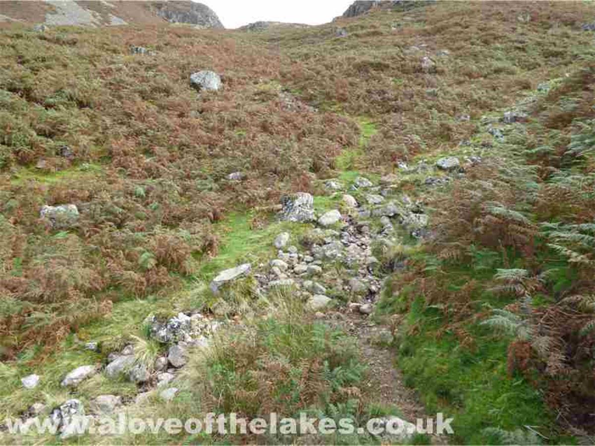
Crossing a minor tributary of Rake
Beck, the path becomes clearer as it heads towards the Col
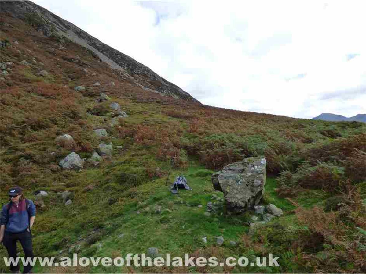
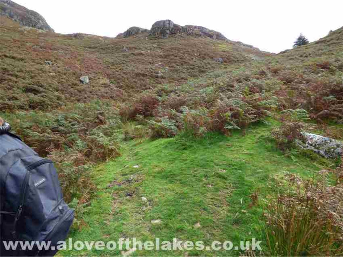
Nearing the top of the Col and this
big boulder indicates a left turn towards some steeper ground over a grass path
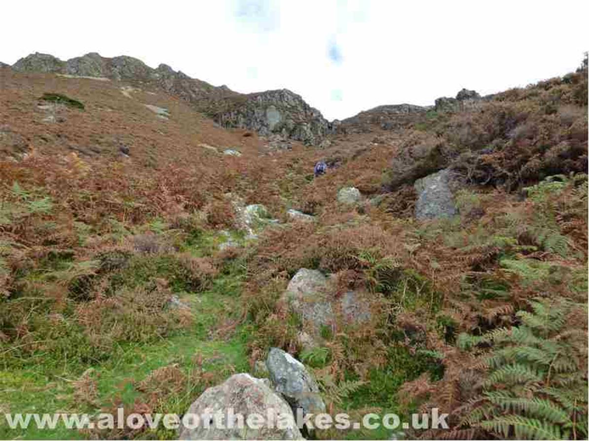
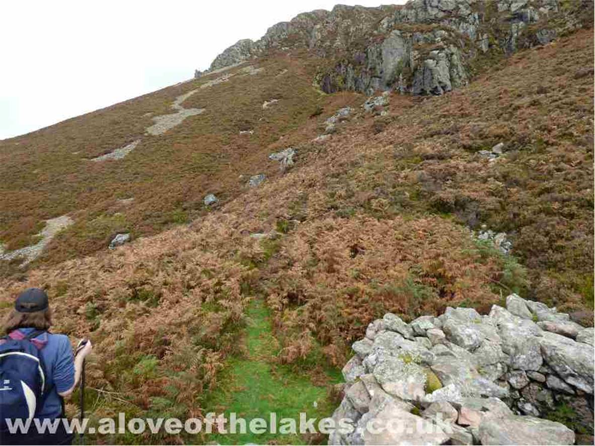
Heading up towards the top of Rake
Beck
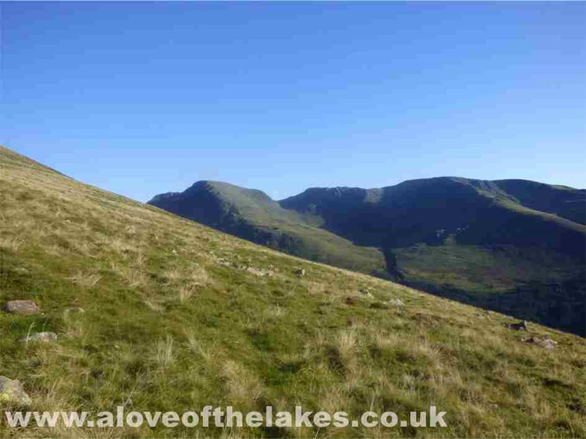
A brief pause to look back towards
Bowness Knott and Ennerdale Water
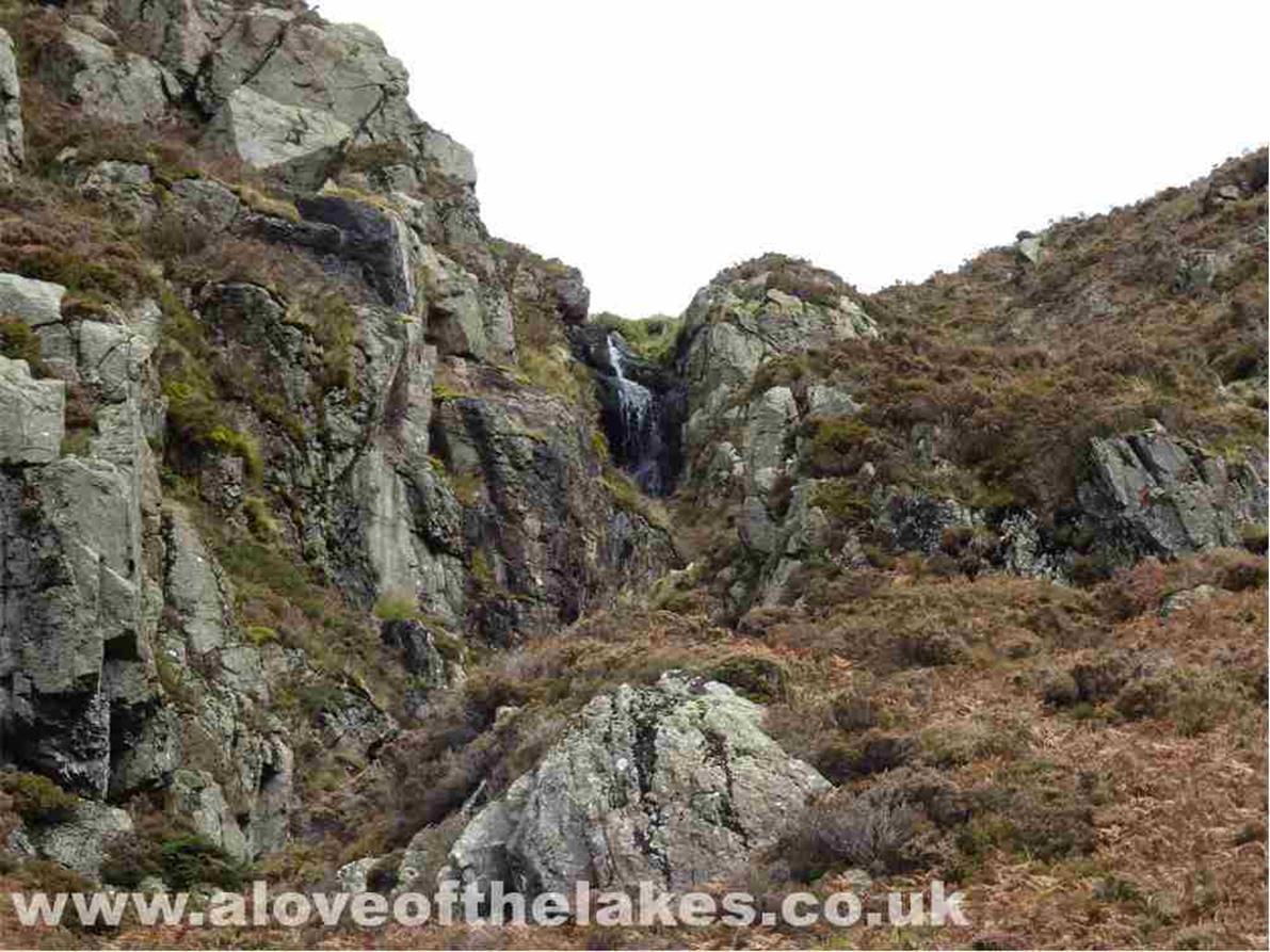
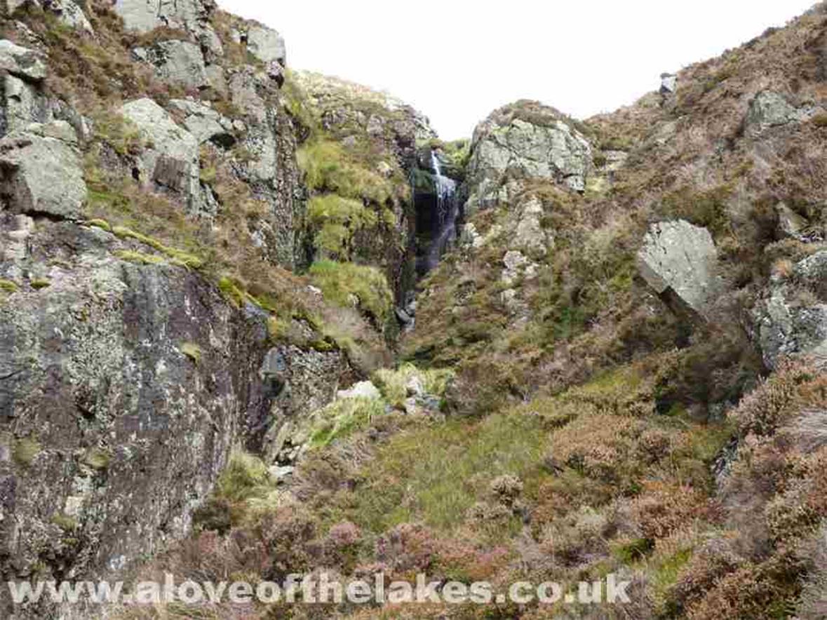
Looking up to Rake Beck waterfall
At this point near a stone-built
fox trap is a convenient moment to take a pause, put away the walking sticks
and gird the loins
for some serious scrambling on
steep and often wet bare rock. Not for the faint of heart !!
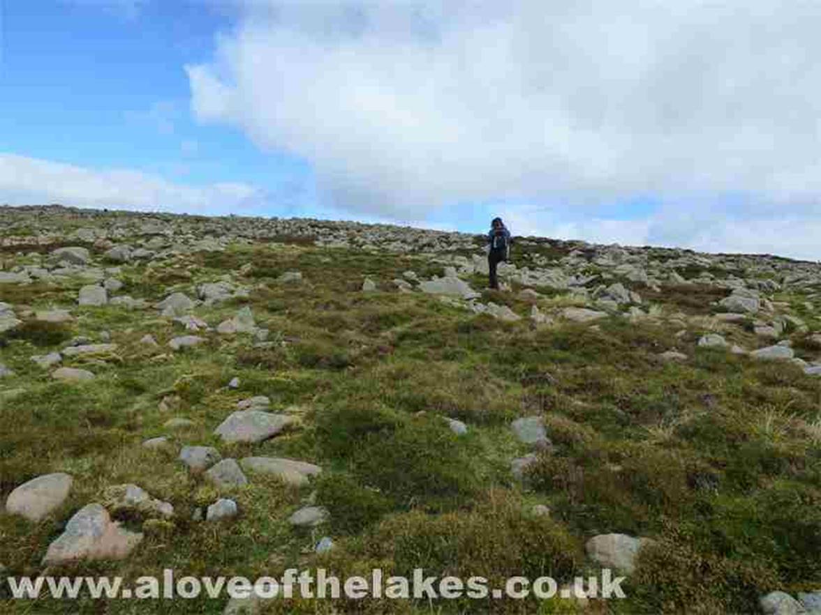
Ste sets off on what is to be an
arduous 30 minutes or so. Camera away now
Eventually we thankfully move away
from the steep precipice of the ravine to the relative safety of the belly of
the mountain.
Certainly glad that
bit is over and know for sure that this path is NOT a viable route back down
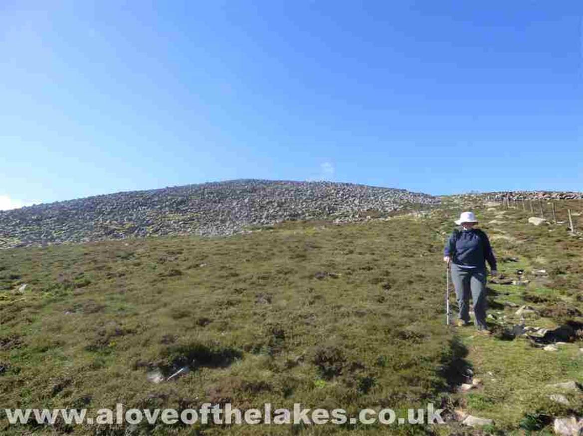
Eventually, flatter ground is
reached as we near the summit
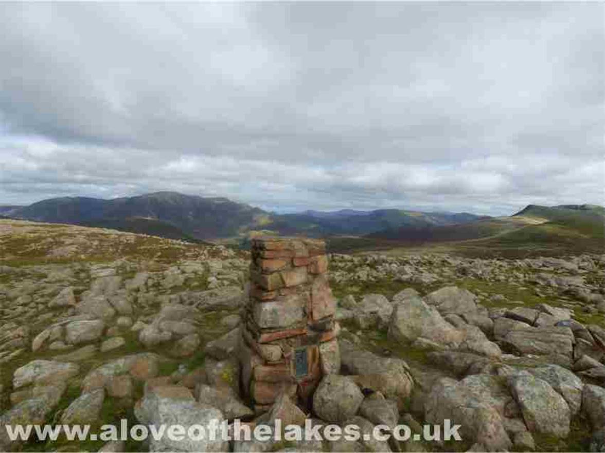
The Trig point summit of Great Bourne
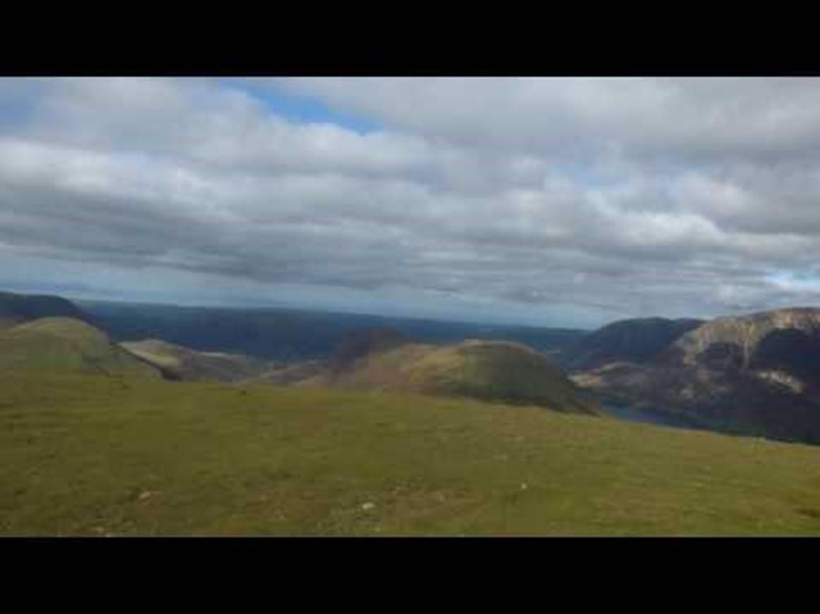
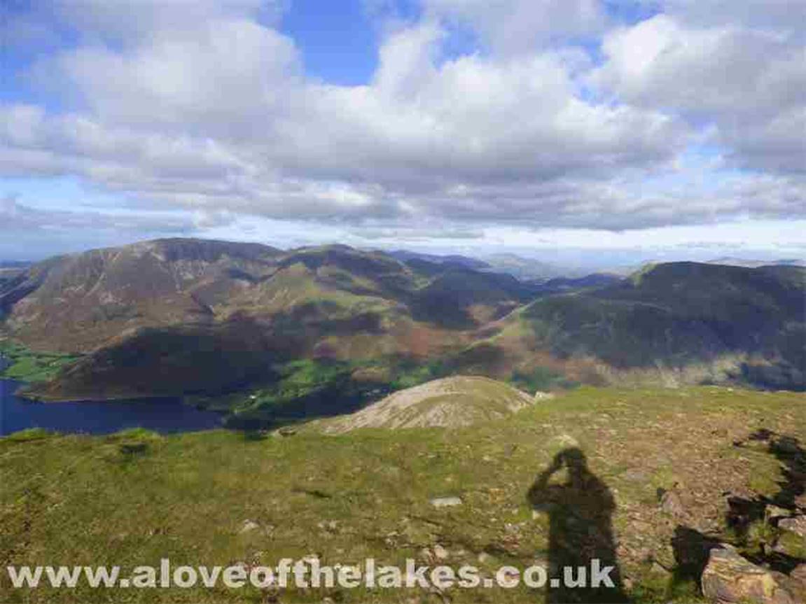
A 360-degree view from the summit
Looking south and the ridge walk to
Starling Dodd, Red Pike and High Pike. What could possibly go wrong?? As we
were
leaving the summit, Sue fell thigh
deep into a pot hole on the wrong leg so to speak … causing the leg with the
metal knee
joint to bend backwards in a way
that it was not designed to. The scream was deafening and when turned round to
see her
lying in agony I seriously thought
we would be coming down in a helicopter. Ten minutes later after the shock had
subsided
she was able to carry on but at a
much slower rate. It was only days later we discovered she had broken the
Fibula
Very gingerly, Sue makes her way
down from Great Bourne
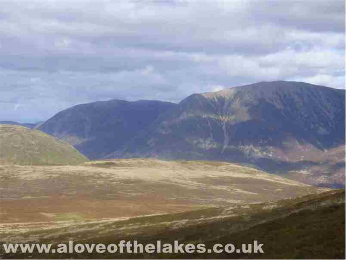
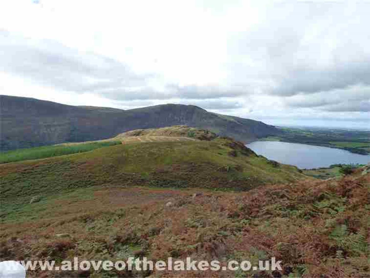
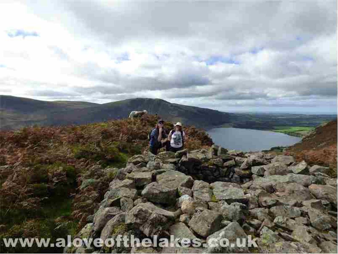
Looking across to Grasmoor
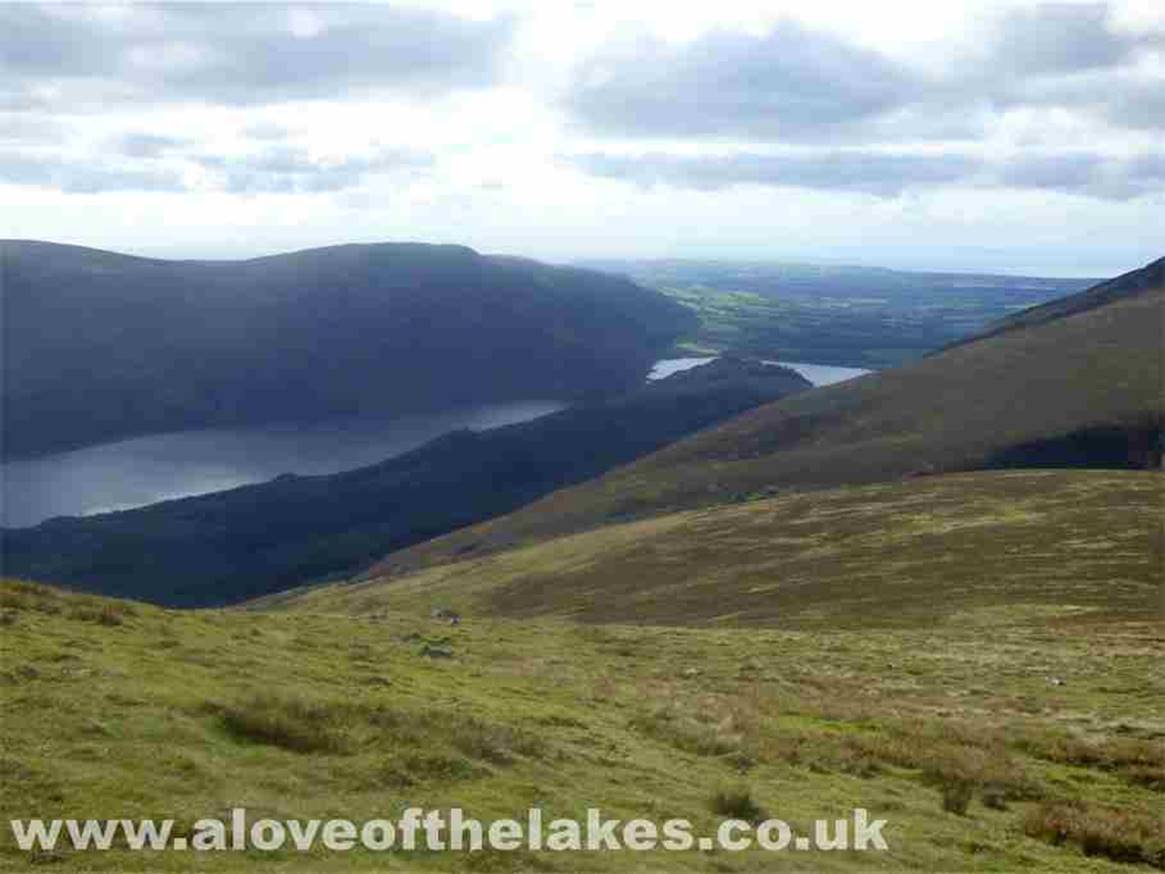
Ennerdale Water
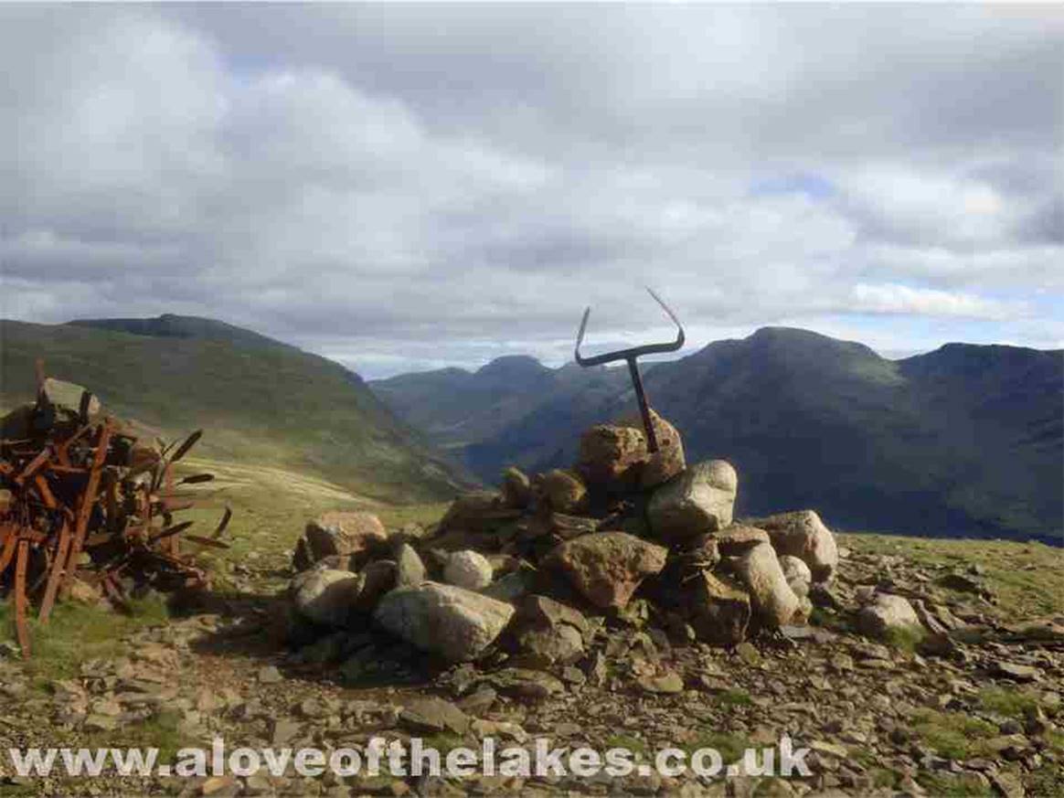
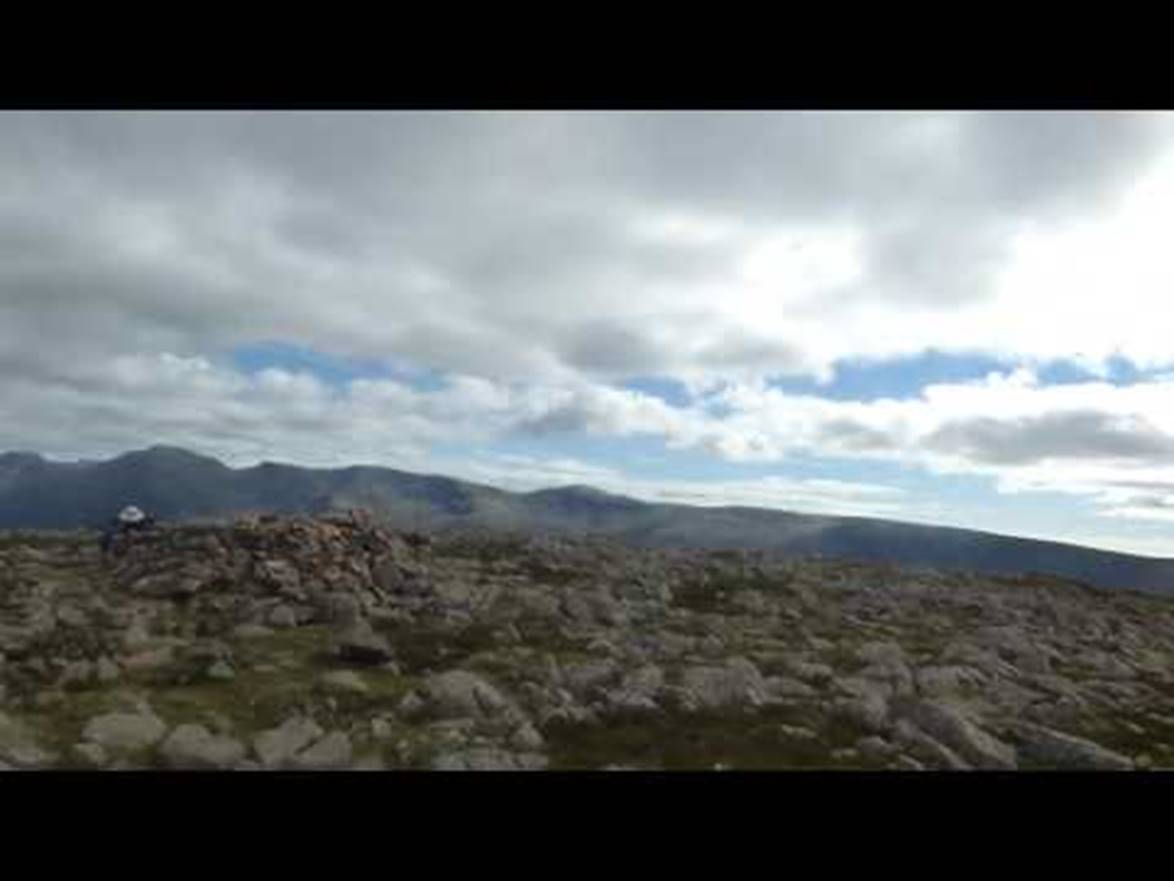
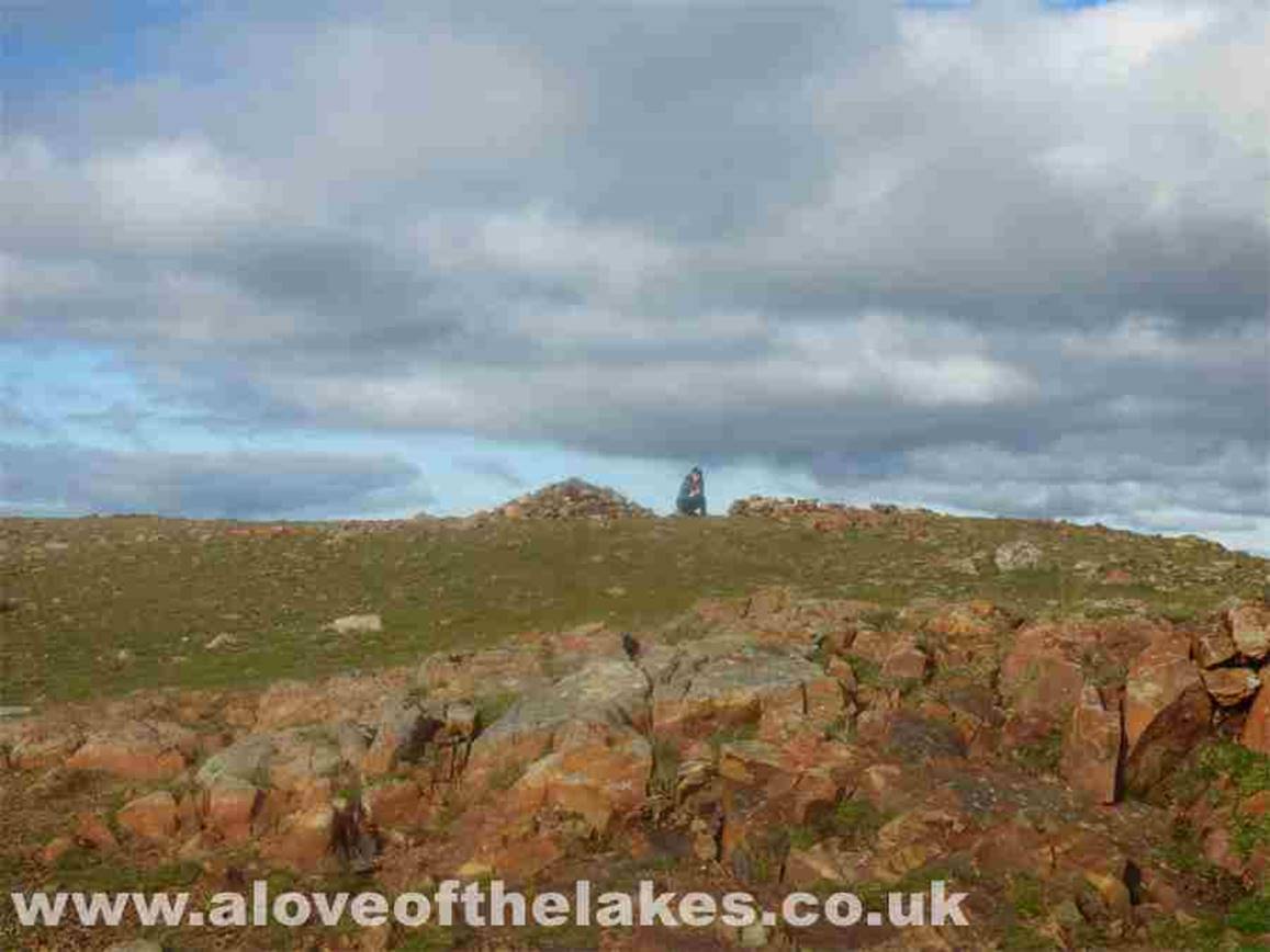
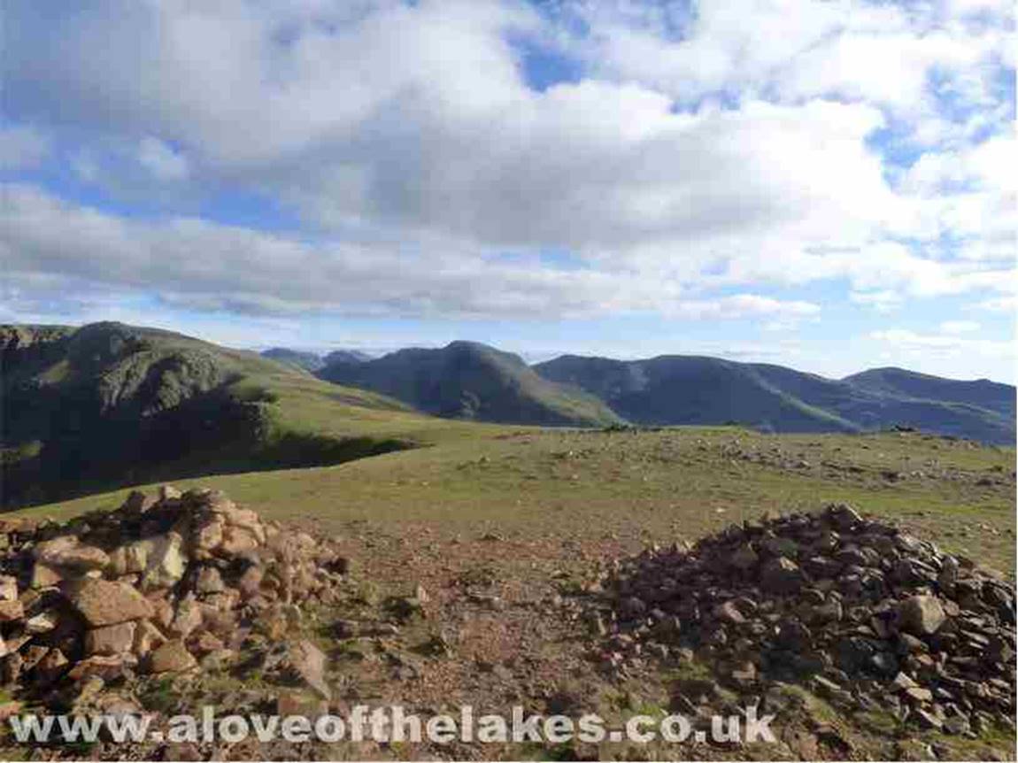
We eventually reach the very
unusual summit cairn of Starling Dodd
A 360-degree view from the summit

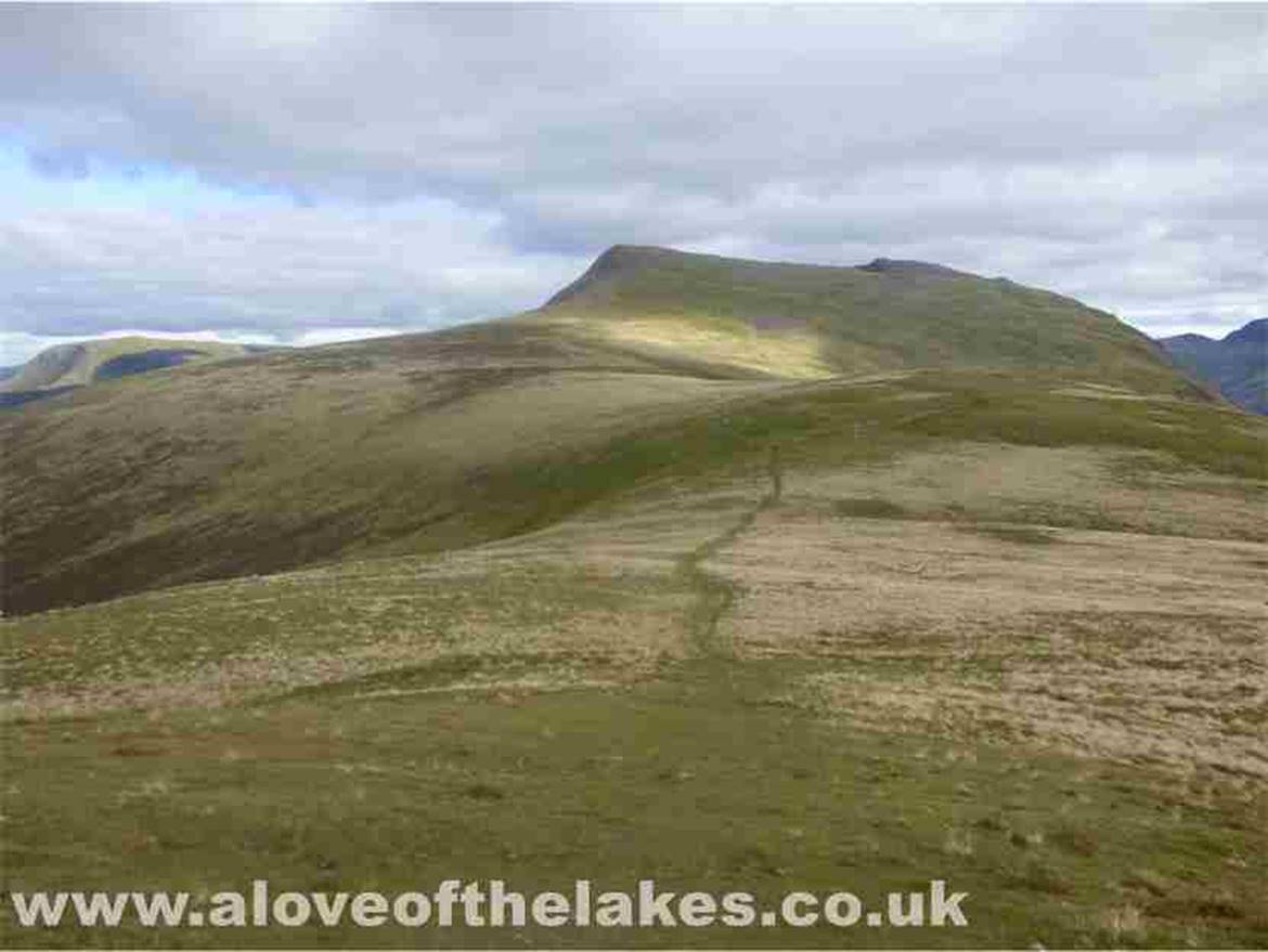
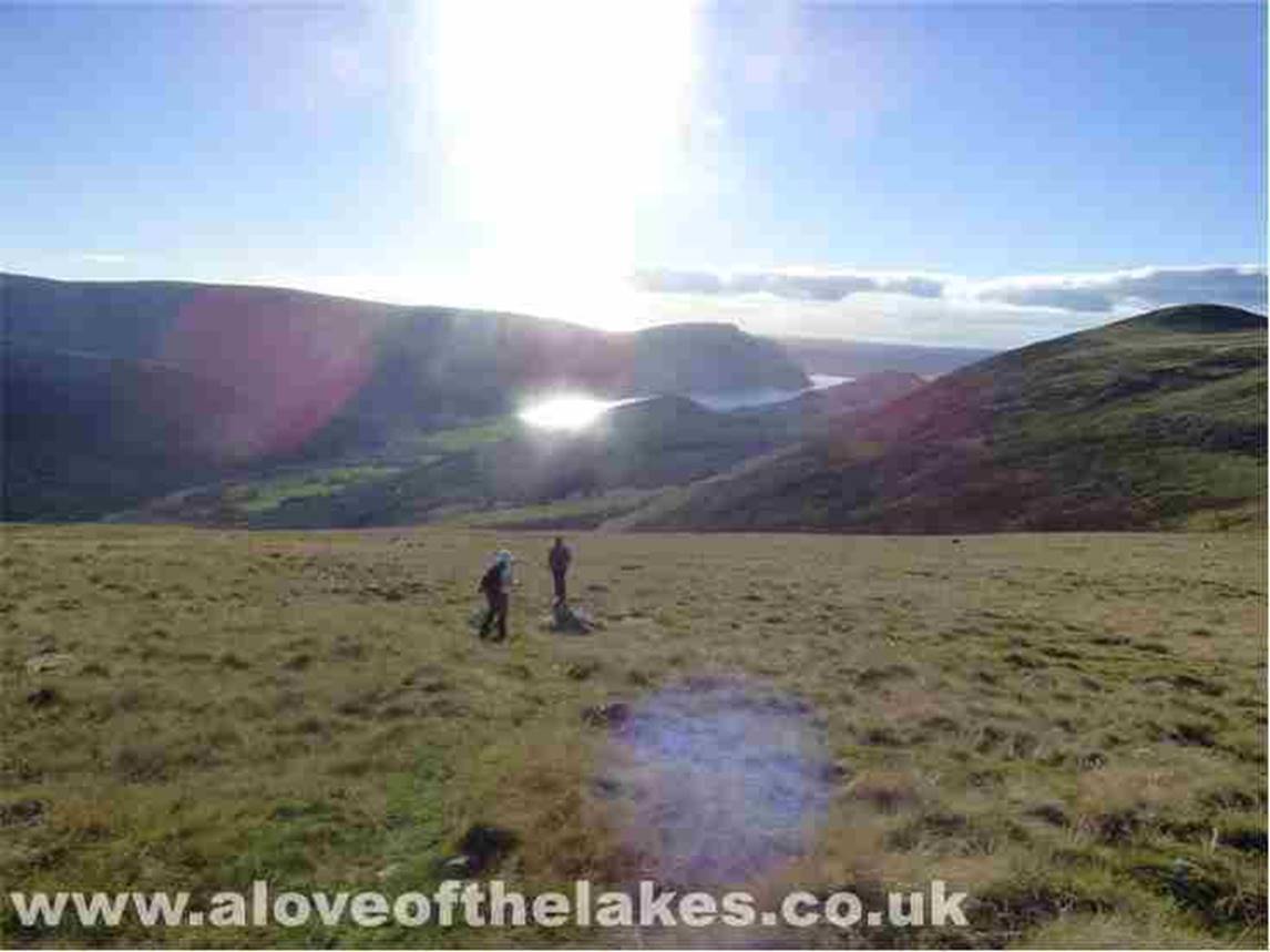
Ahead of us the summits of Red Pike
and High Pike just beyond. An easy walk along a good path
Ste awaits
for Sue and I on the summit of Red Pike
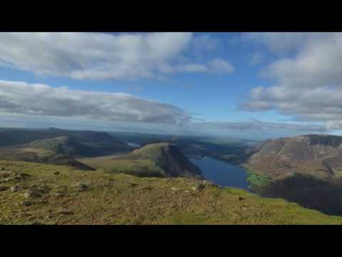
A 360-degree view from the summit
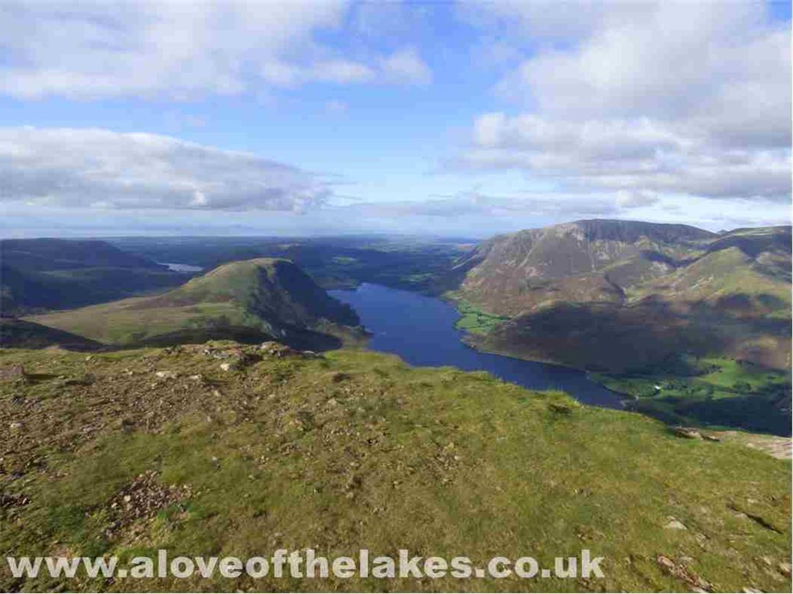
Looking north down the length of Crummock Water. Scotland in the very far distance
Looking across to Whiteless Pike and Grasmoor
Looking south and the ridge to High
Pike
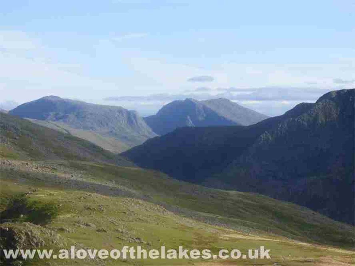
Looking over to Pillar in the
foreground and Great Gable
At this point Sue was starting to
feel a great deal of pain in her leg and had slowed down noticeably. It was
time to leave
High Pike for another day as this
was going to be a long journey down and back to the car park some three and a
half
miles away. The main path off Red
Pike is over grass, relatively gentle and very well cairned for most of the
descent
Looking across to Pillar
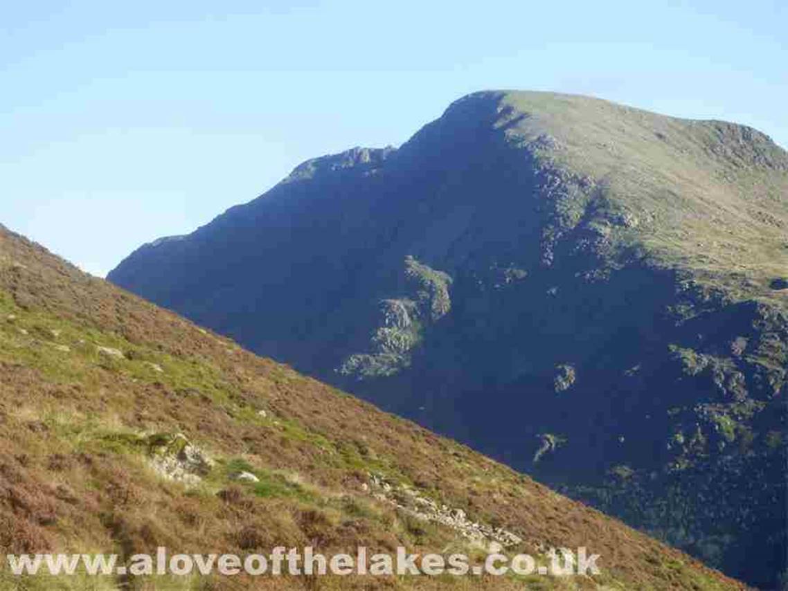
A close up of Pillar
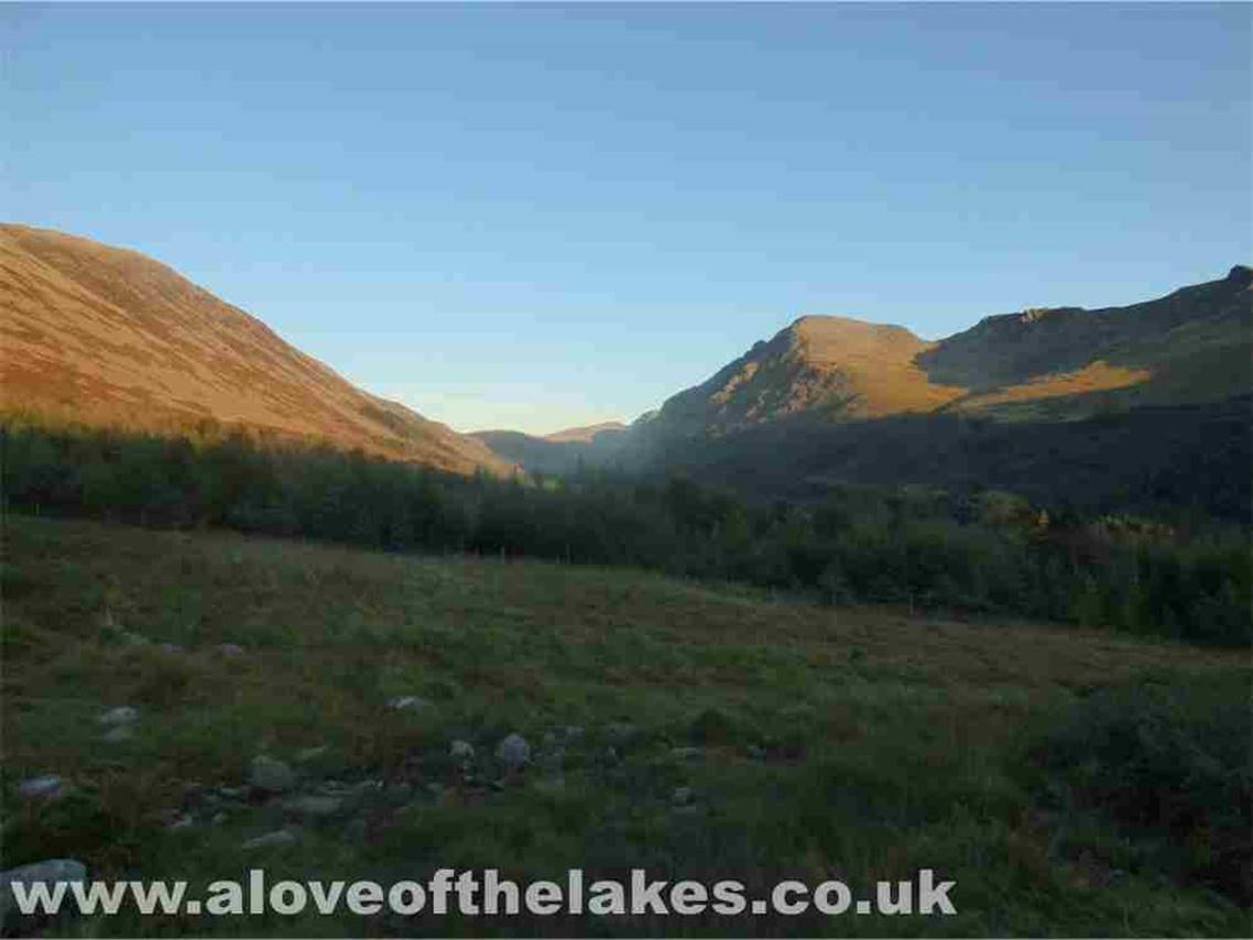
Nearly back down now and the low
sun starts to cast shadows over Pillar. The bump in the middle is Pillar Rock
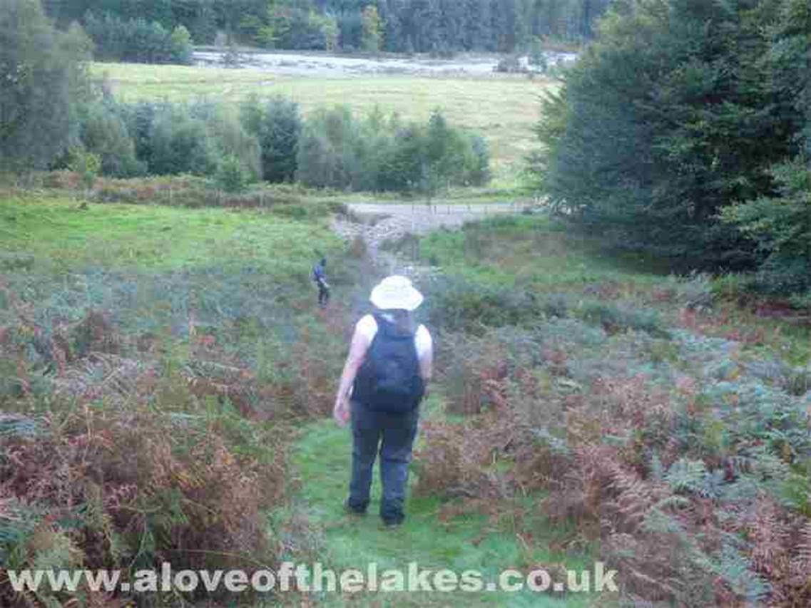
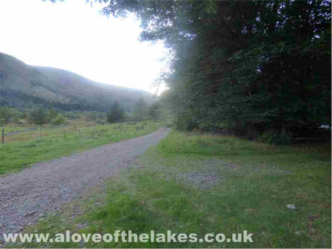
The path leads through the only gap
in the forest down to the track that skirts the length of Ennerdale Water
At last, we are down and Sue is now
hobbling very badly. The next 2 miles are going to be very slow
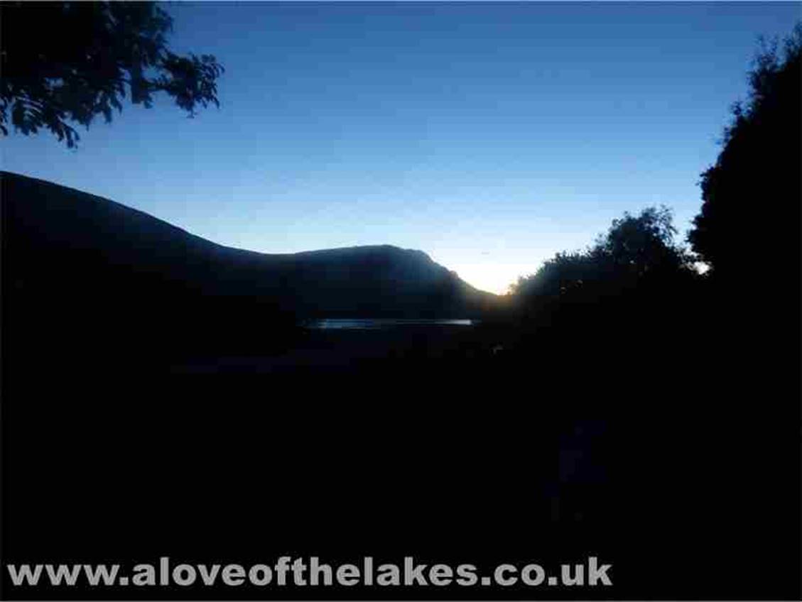
Back at the car park now in the
last of the light at the end of a very eventful yomp
Copyright ©
aloveofthelakes.co.uk 2011 – 2021