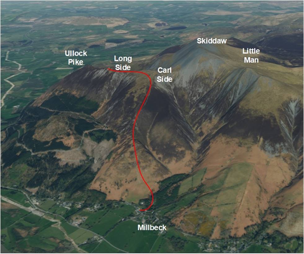
Walk : Carl Side (2,420ft), Long Side (2,405ft) from Millbeck via Doups
Date : 25th July 2016
Weather : Dry, variable cloud, bitterly cold, strong northerly wind
@ 4 °C
Distance : 6 miles round trip
Difficulty : 2 to 3 – A steep pull up to Carlside,
no navigational difficulties
(1=easy 5=hard)
Which
area of Lakeland is this walk situated?
Terrain
Overview
Walk
Overview
We started the journey out from our
cottage in Ambleside to North Lakeland in sleet and snow with little
confidence that we would be walking
today. However, when we reached the A66 there was a change of
weather and whilst it was bitterly
cold the skies had cleared and there was a promise of even a bit of sun
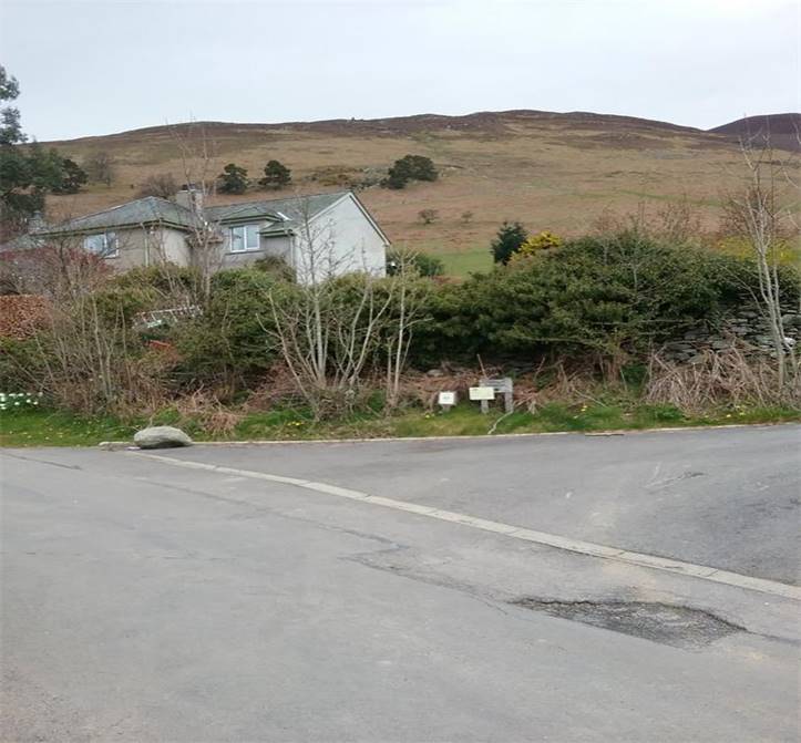
From the A66 Keswick bound take the
A591 North towards Millbeck. A narrow road through
the
village provides parking for a few
cars just opposite a track that leads onto the open Fell side
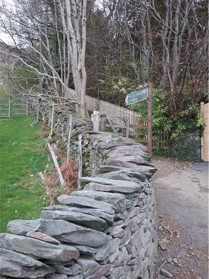
Take the path that is signposted to
Skiddaw
The path very soon reaches a “Y”
junction, avoid the obvious stone track to the right that
Leads to Carl Side Col and Skiddaw
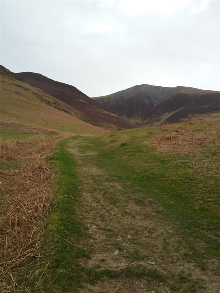
and take the left fork across grass towards Doups
Following the grass path with
Skiddaw and Little Man in the background
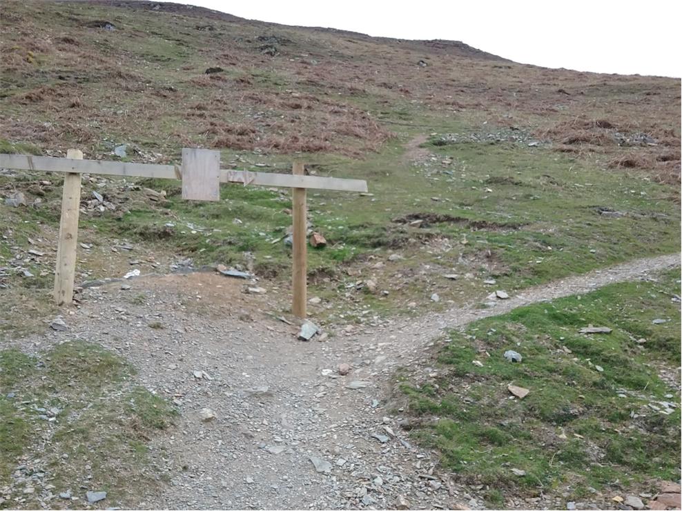
The path leads to a specially constructed
sign posted detour that is part of the “Fix the Fells” program
and thankfully removes some of the
steepness by a series of zig-zags
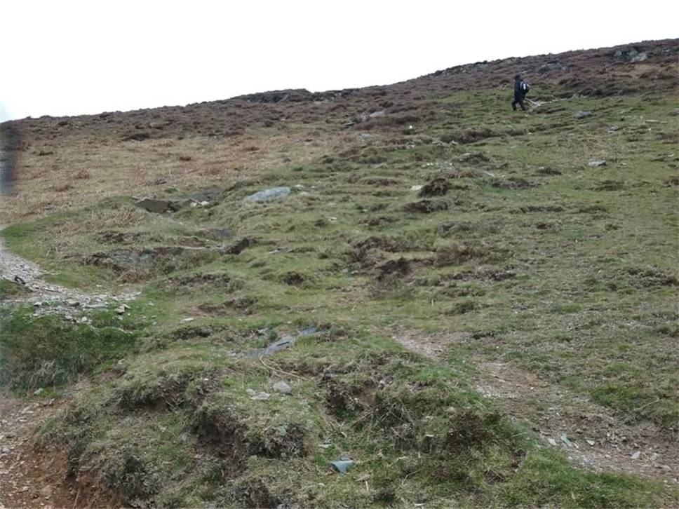
On the zig-zags
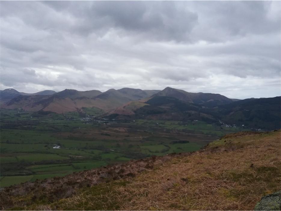
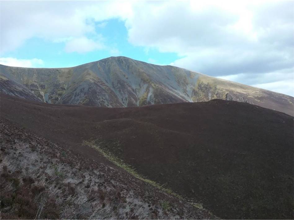
Looking across to the North western
Fells, Grizedale Pike, Causey Pike and Cat Bells
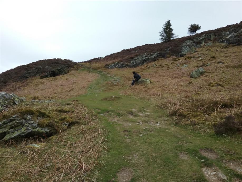
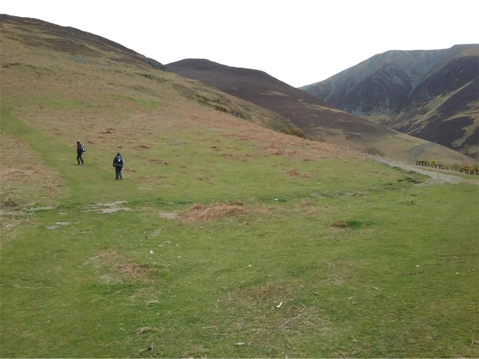
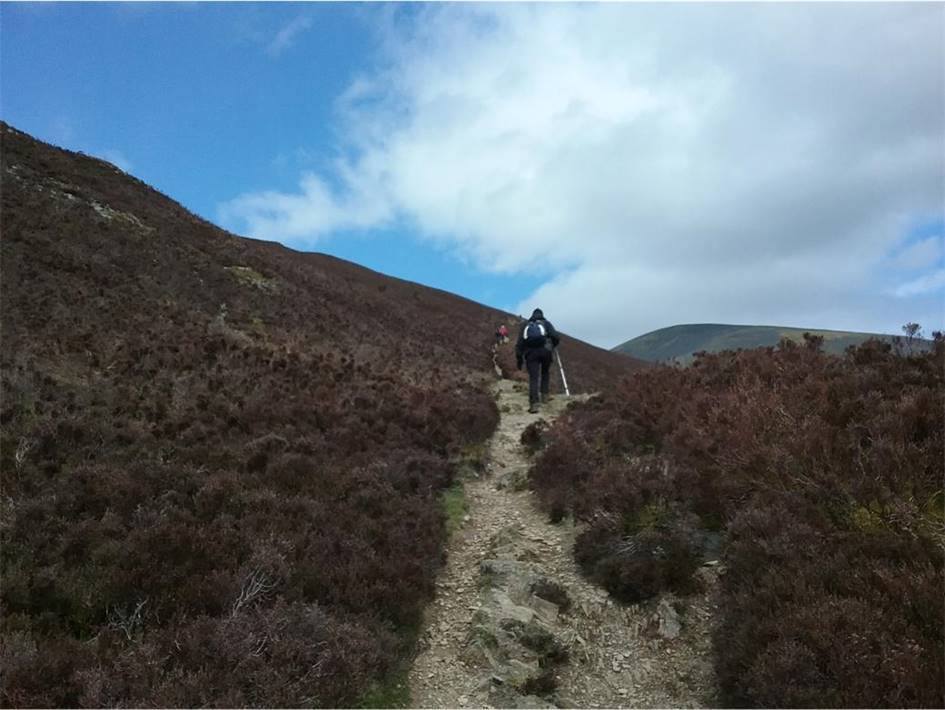
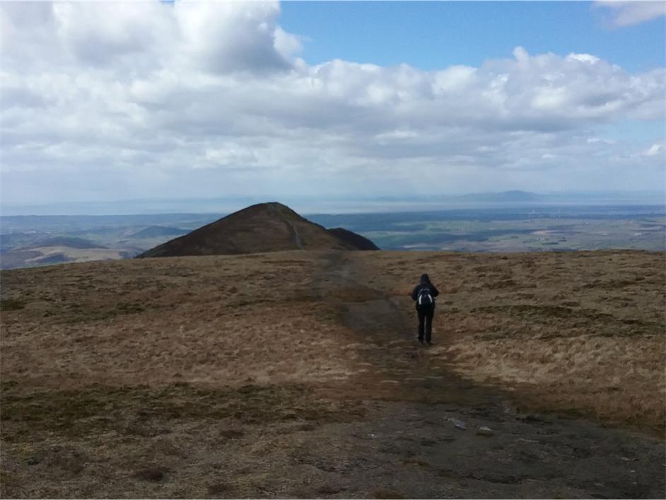
Climbing steadily towards Doups. Ste waits for the two slow coaches to cath up
Nearing the top of Doups and the path carries on upwards over White Stones. No
navigational issues
At the top of White Stones and a
little breather from the steep climb
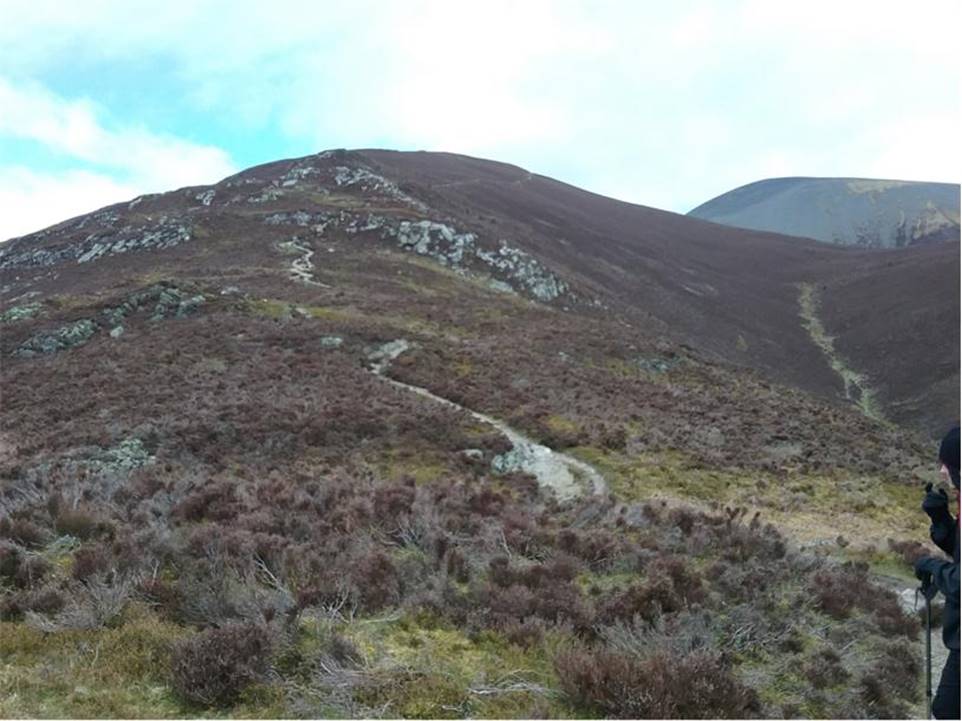
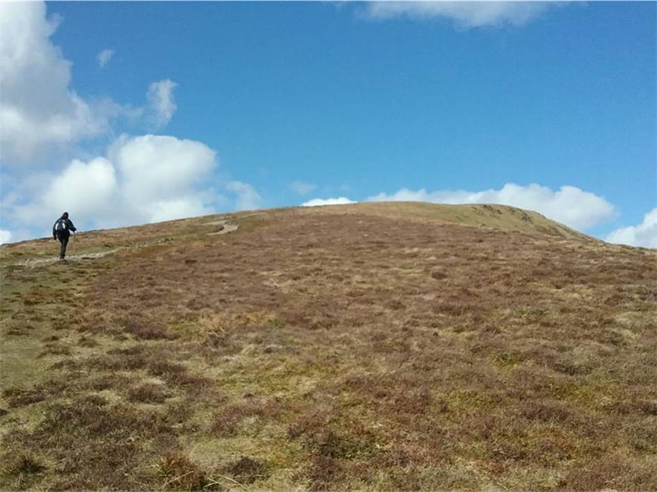
The climb starts in earnest now up
to the marker cairn along the southern ridge of Carl Side
Skiddaw Little man from the path
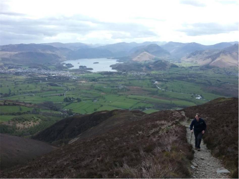
Looking back to Derwent Water from
the upper reaches of the path
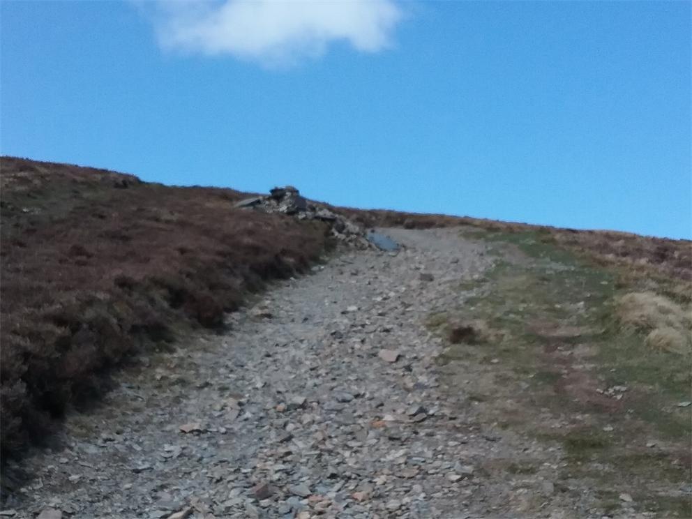
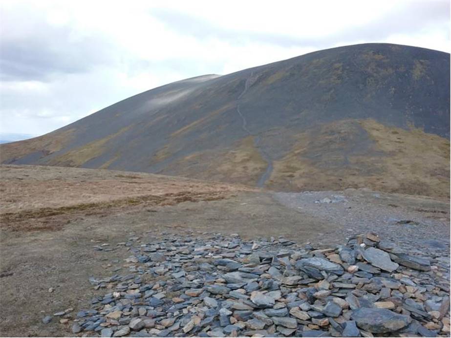
The welcome sight of the marker
cairn and easier slopes to the left. At this point the wind picked up
and the temperature dropped dramatically
On the approach to the summit
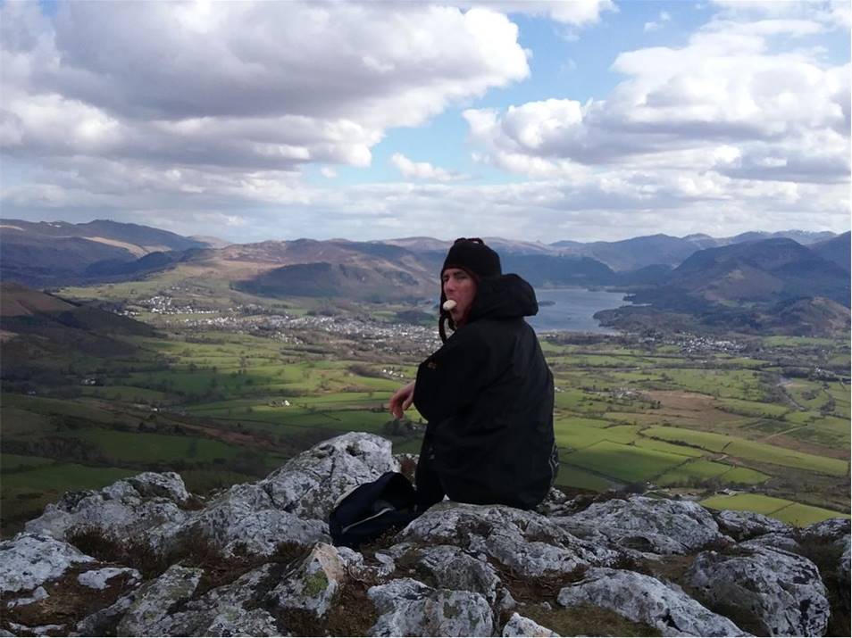
On the summit of Carl Side at 2,420
feet … freezing cold
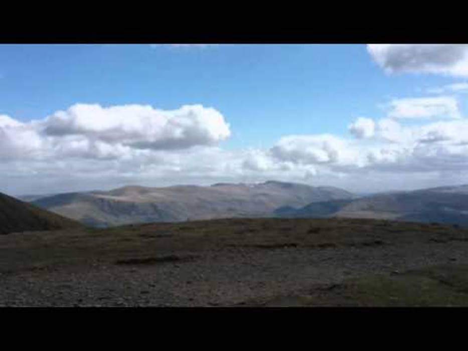
A 360 degree
view
Looking South to the North Western
Fell region
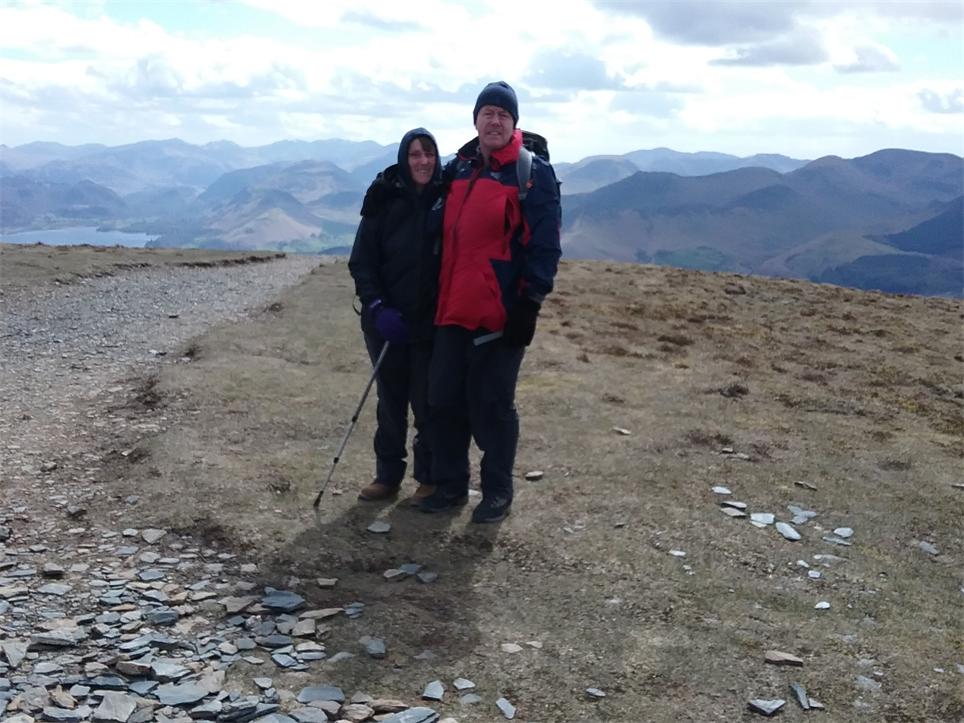
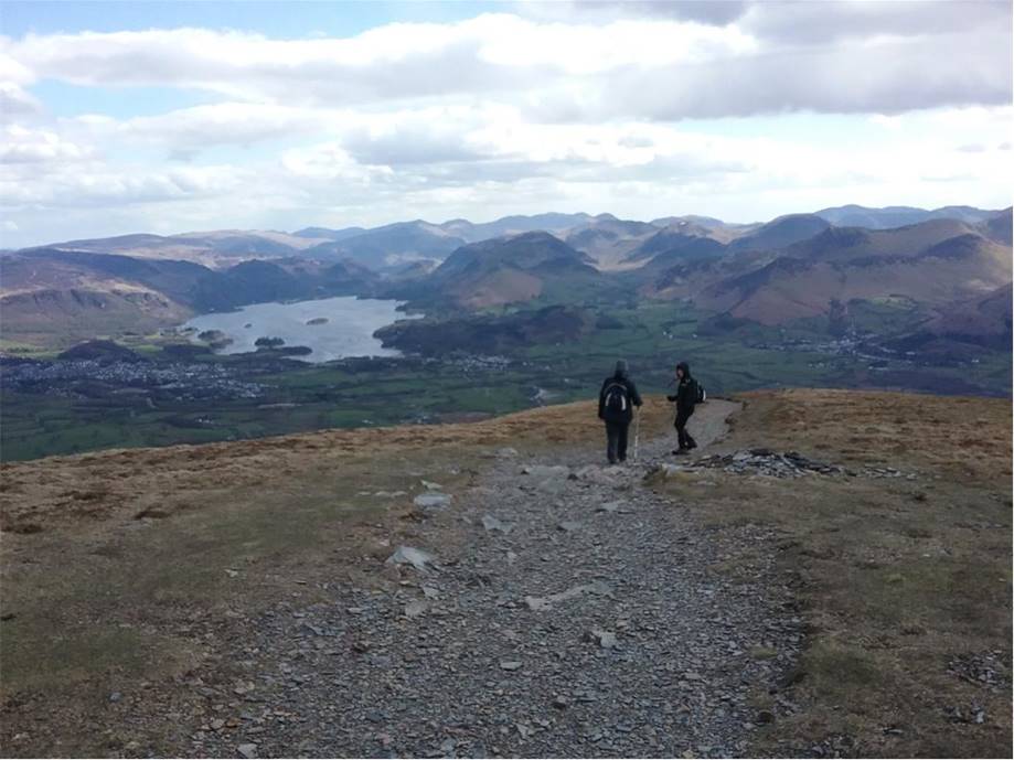
Normally after the first summit we
tend to bed down for lunch, but it was just too cold to stay on top.
So we head
off West towards Long Side just over half a mile a way
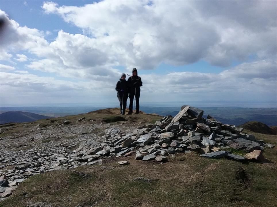
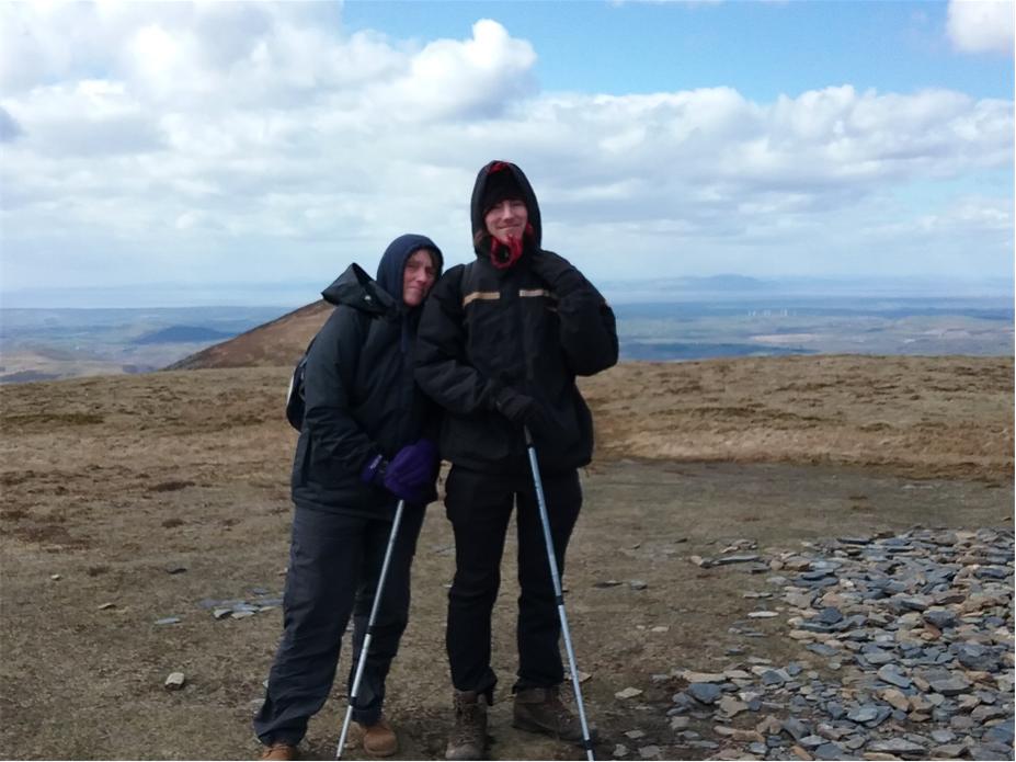
Sue and Ste on the summit of Long
Side
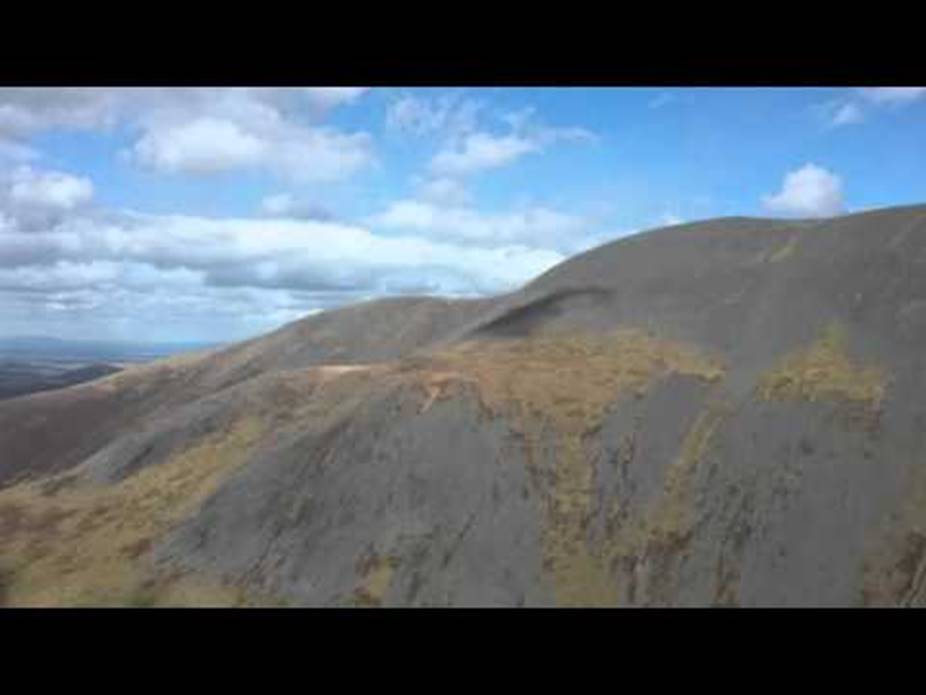
A 360 degree
view from the summit
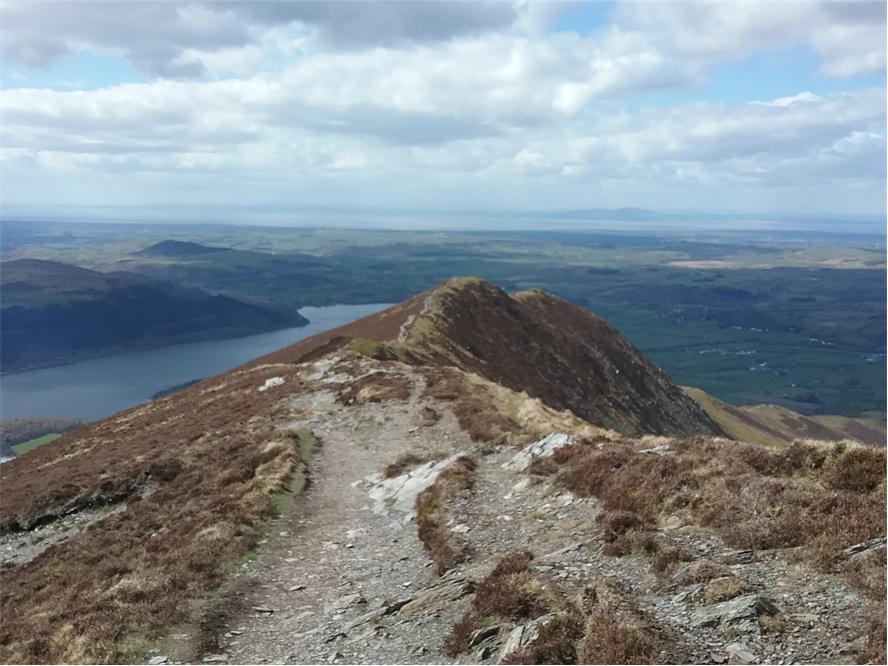
The path to Ullock
Pike in the centre, Bassenthwaite Lake to the left.
At this point the wind became
dangerously strong and we decided
that discretion to be the better part of valour as standing up
straight was very difficult
especially on such a narrow ridge
An ingenious, but scary path up to
the summit of Skiddaw, a fairly hard core route in
this wind
The journey back down
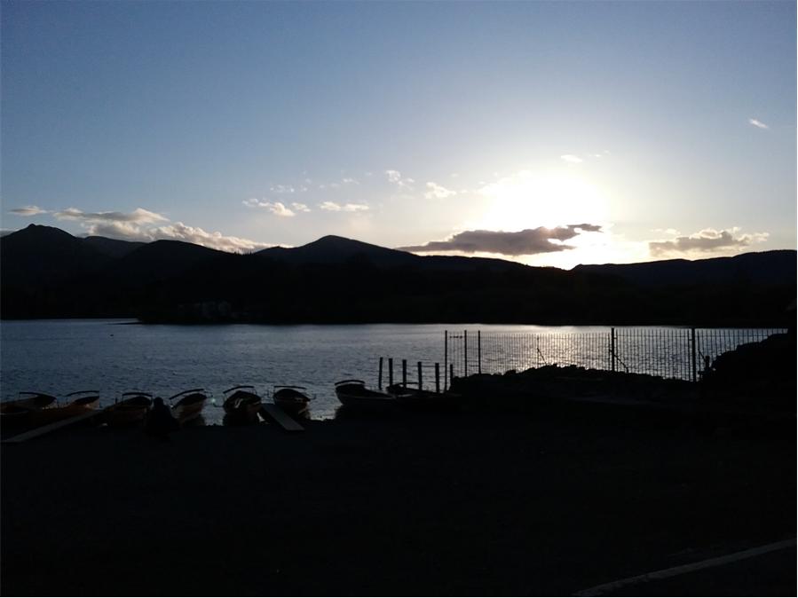
Derwent
Water at dusk
Copyright ©
aloveofthelakes.co.uk 2011 – 2021