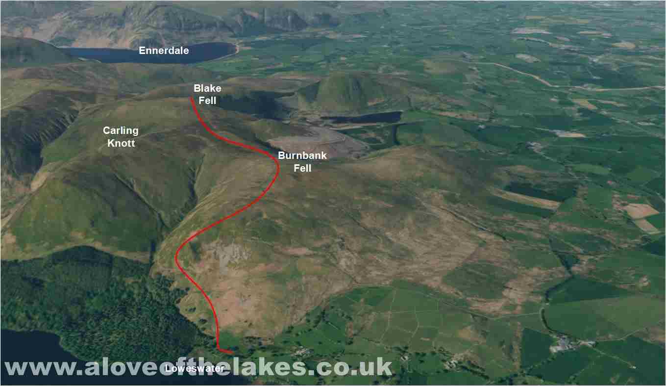
Walk : Burnbank Fell (1,580ft) and Blake Fell (1,878ft) from
Fangs Brow, Loweswater
Date : 30th July 2016
Weather : Dry, cloudy, light breeze @ 17 °C
Distance : 5 miles round trip
Difficulty : 1 – Gentle slopes throughout – a charming walk
(1=easy 5=hard)
Which
area of Lakeland is this walk situated?
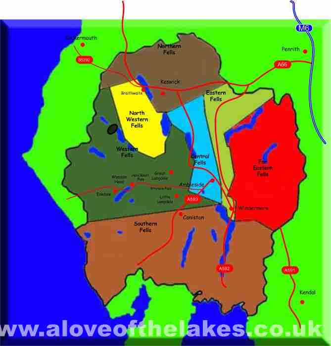
Terrain
Overview
Walk
Overview
A truly charming walk in a
beautiful remote area of Lakeland
Take the A66 towards Cockermouth
and turn left at the roundabout just before you approach the road leading in to
the Town centre. Follow
the signs for Loweswater
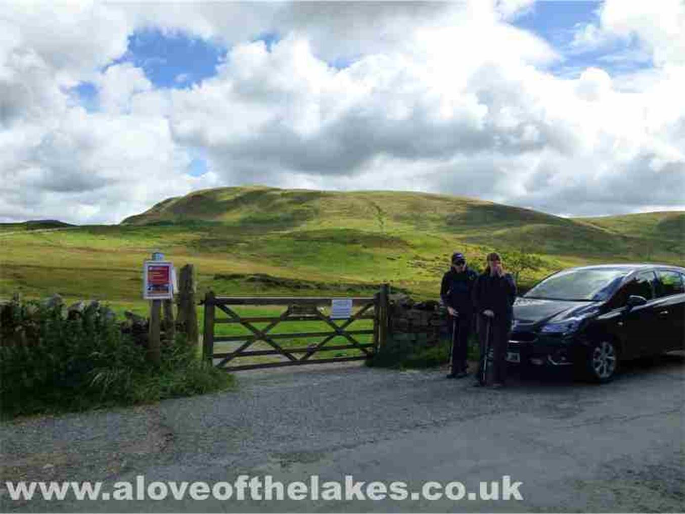
and head for the farm at Fangs Brow. There is side of the row parking for about
a dozen or so cars. The walk starts here
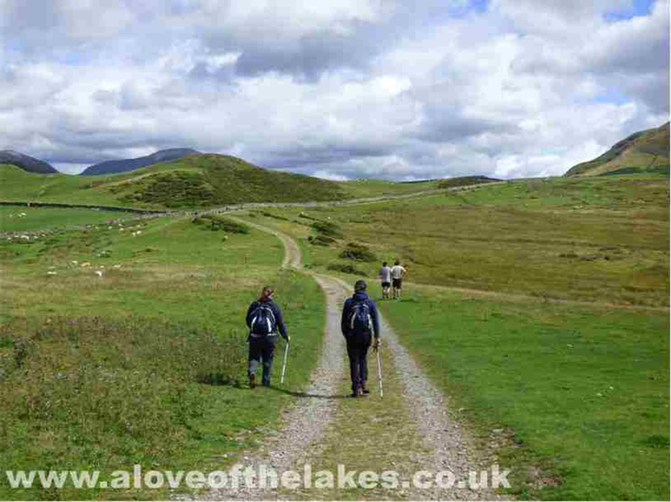
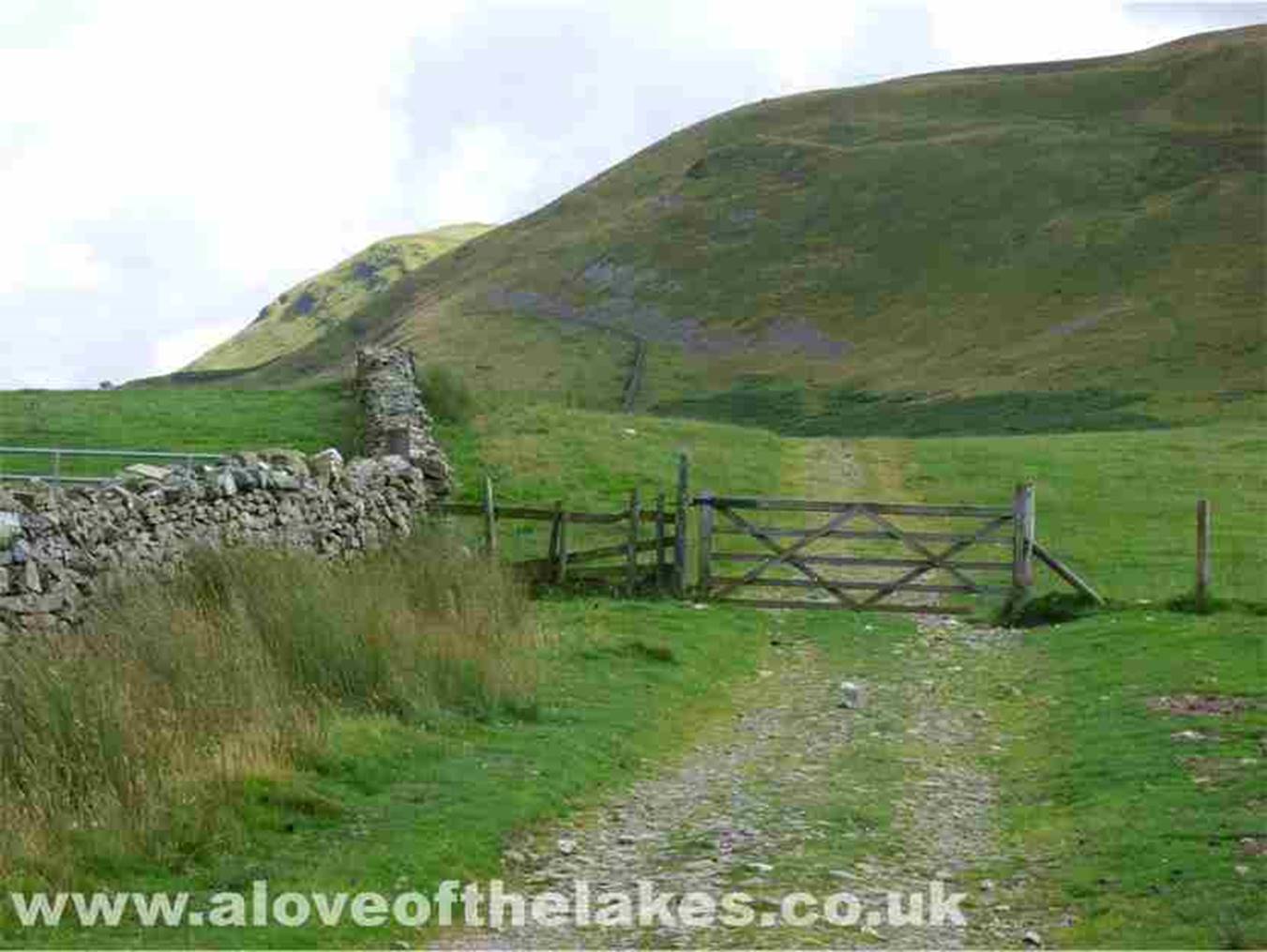
Through the gate and the bridleway
leads through a succession of gates towards the steep Northern face of Burnbank
Fell
The steep North flank of Burnbank
Fell
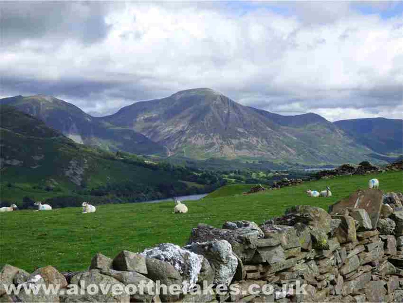
An early view across Crummock water of Whiteside and Grasmoor
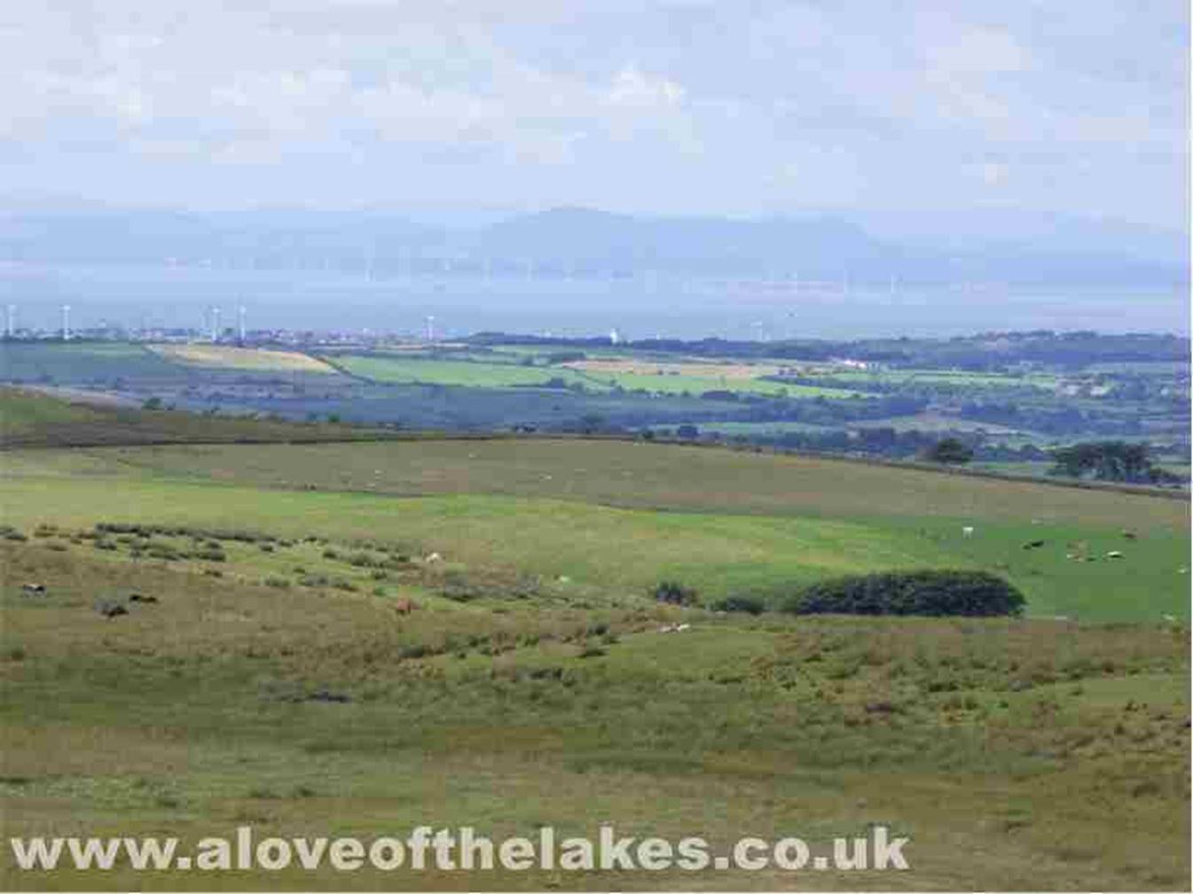
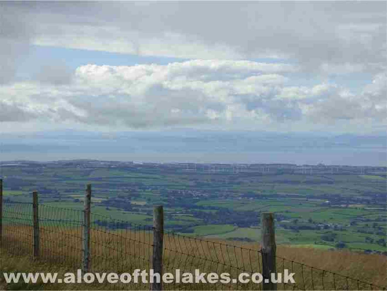
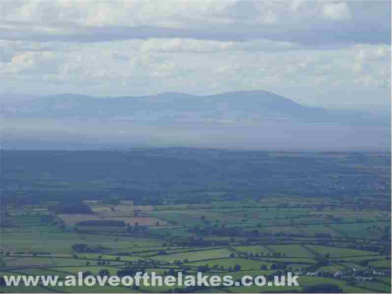
Looking across the Solway Firth towards
Scotland
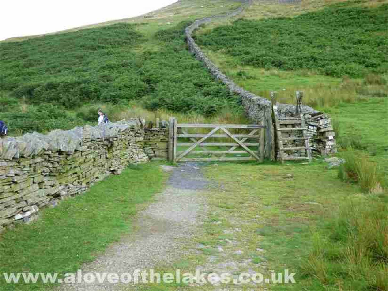
Eventually the bridleway reaches a
gate and a stile, which if followed through leads on to the circular path walk
above Loweswater. We took
a small detour to take in the fine
views to be had, note though that the track we follow to Burnbank Fell summit
(avoiding all steepness) takes
a sharp right at this point … see
the shot later on
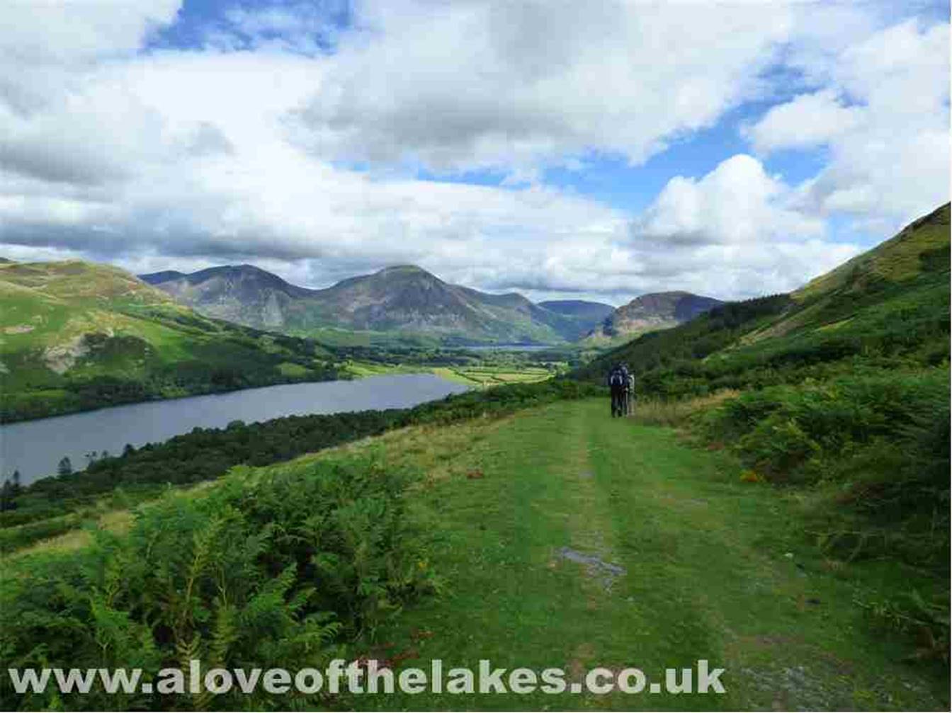
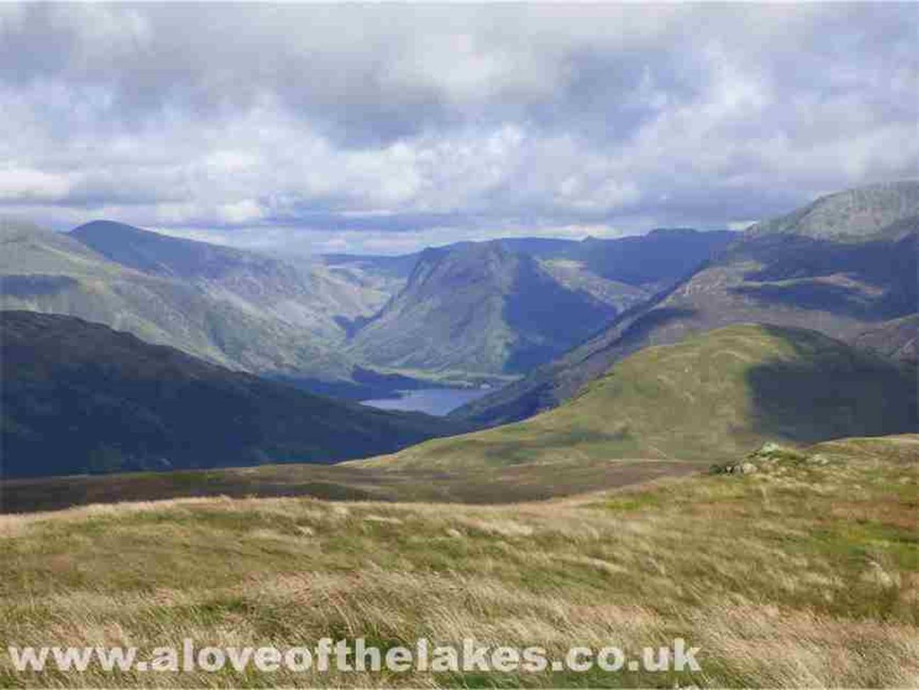
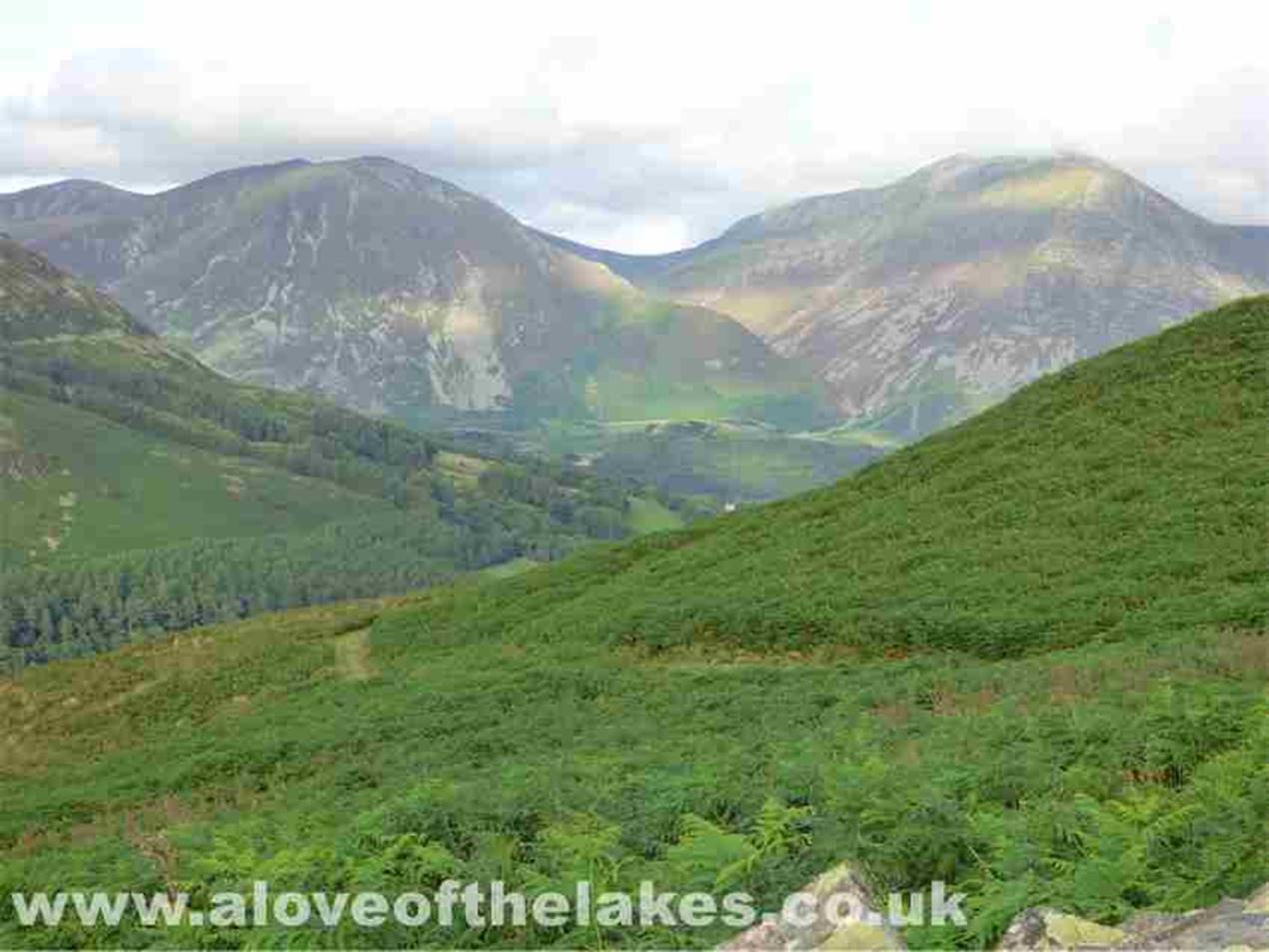
Just a short way down the circular
path that provides some stunning views towards Buttermere
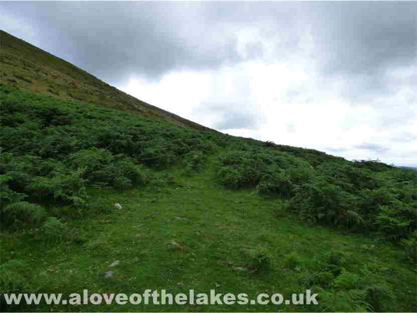
Anyway, back on with the walk. From
the gate take a really sharp right up the gentle slope to find a pathway
cutting through the gorse bushes.
This leads to easy slopes that
zig-zag up the North flank towards a marker cairn
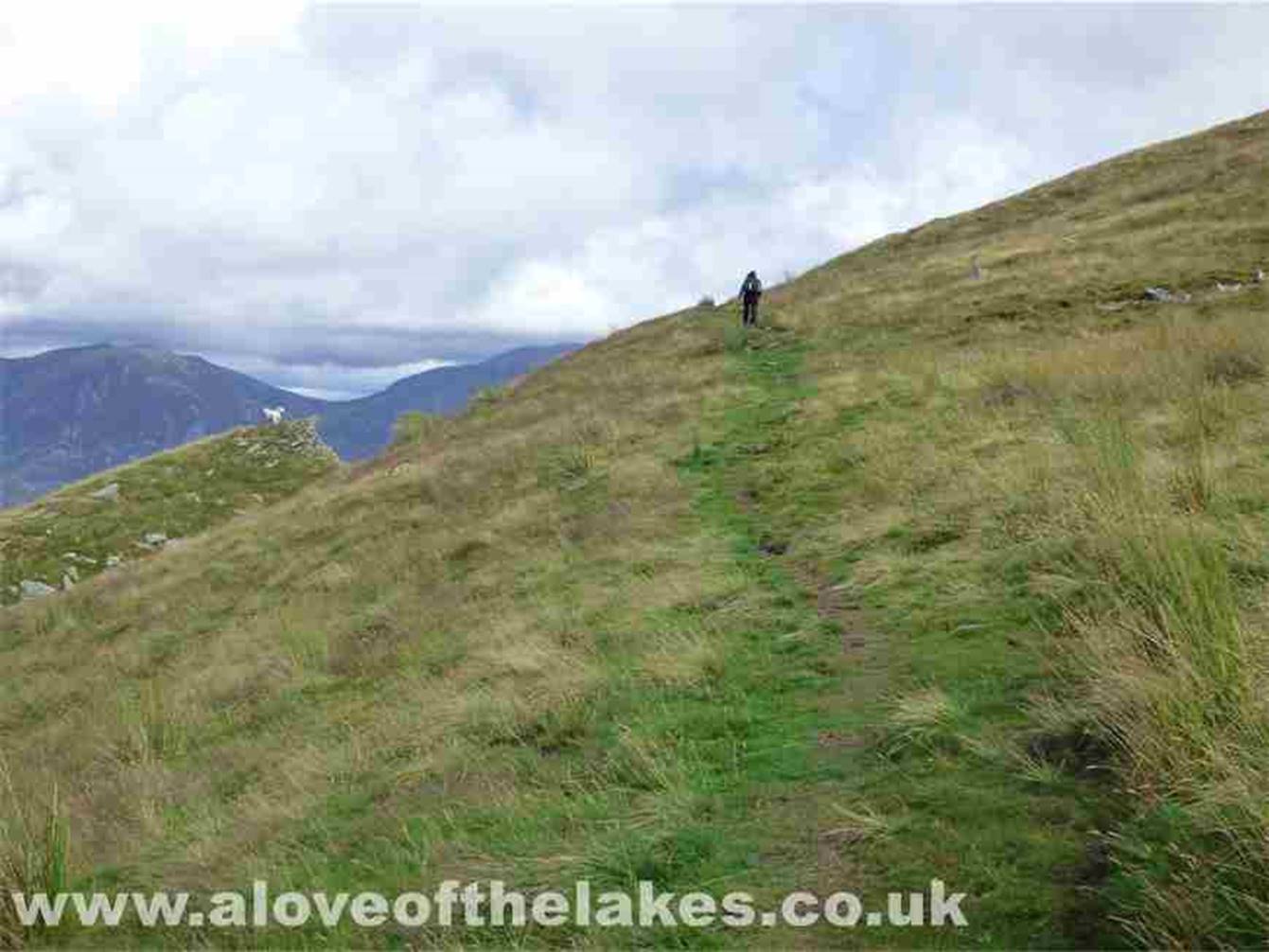
The track, faint at first improves
as it progresses
After about 20 minutes or so the
marker cairn is reached signalling a right turn along a track that leads up to
the summit
Some fine views from the marker
cairn
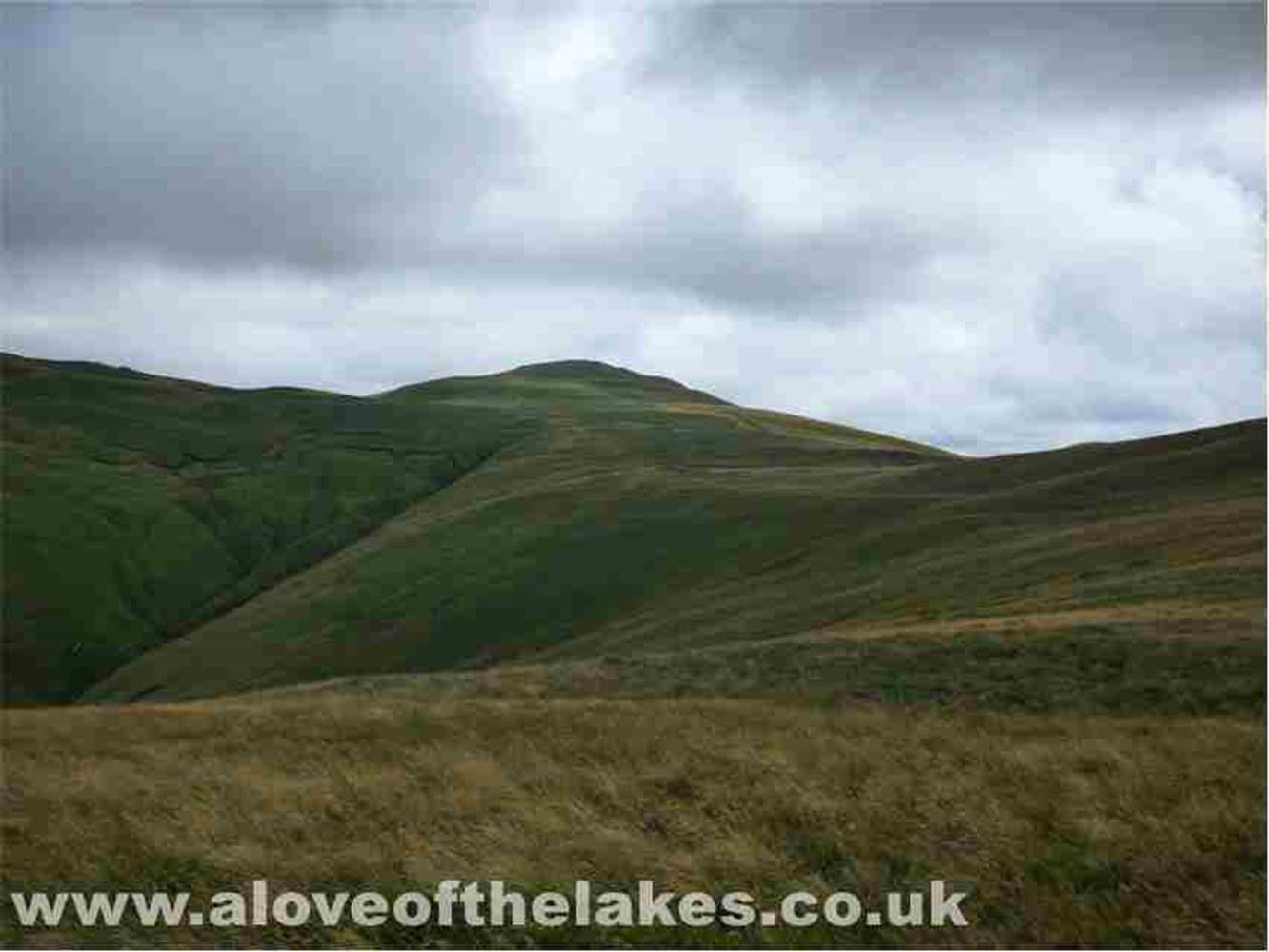
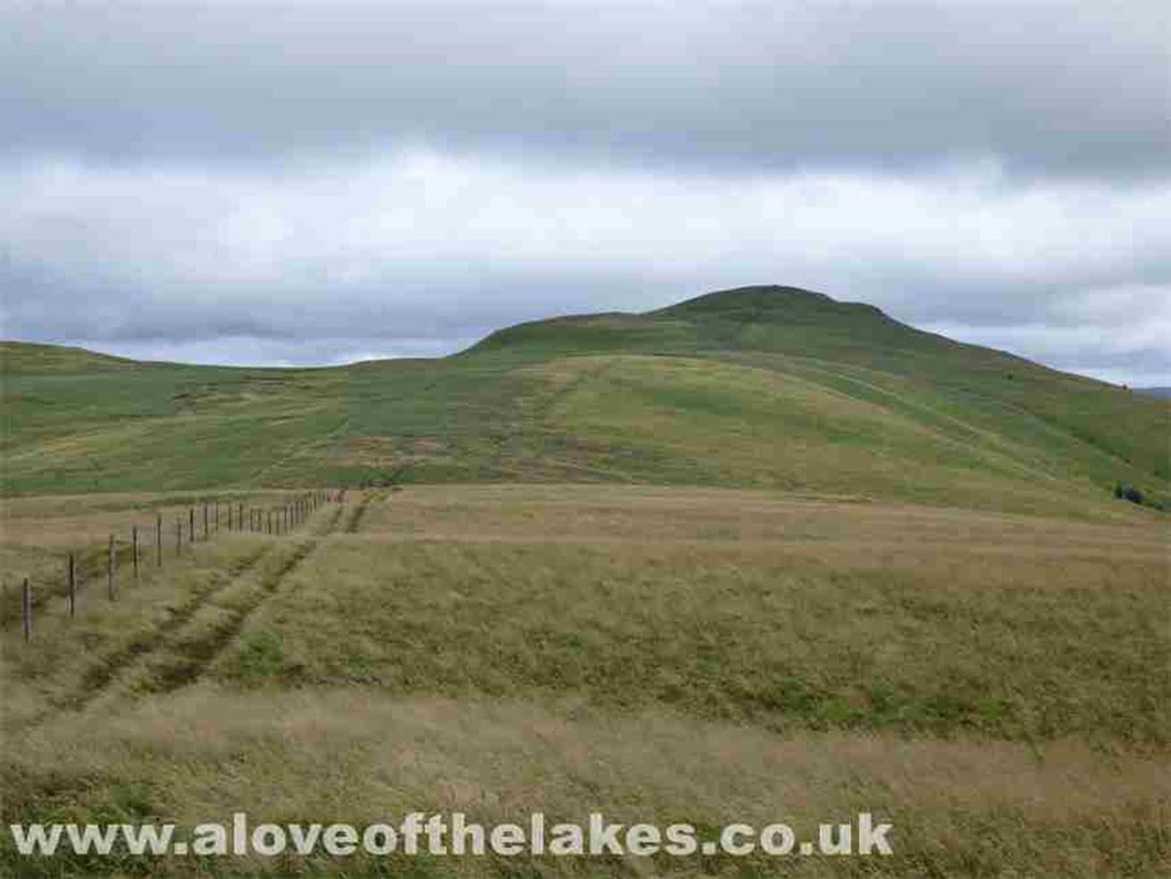
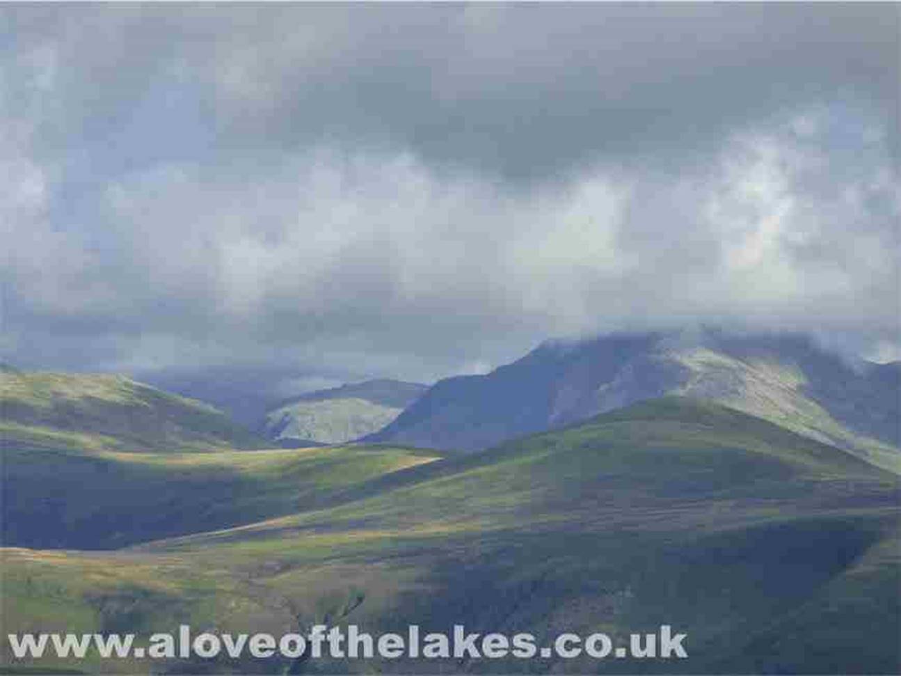
From the marker cairn, the path
swings right as it leads to the summit of Burnbank Fell. The peak in the centre
of the shot is Blake Fell
Further up the path and the fence post
just about visible marks the summit
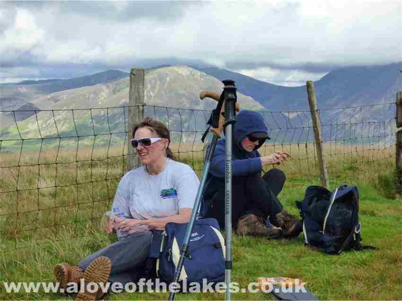
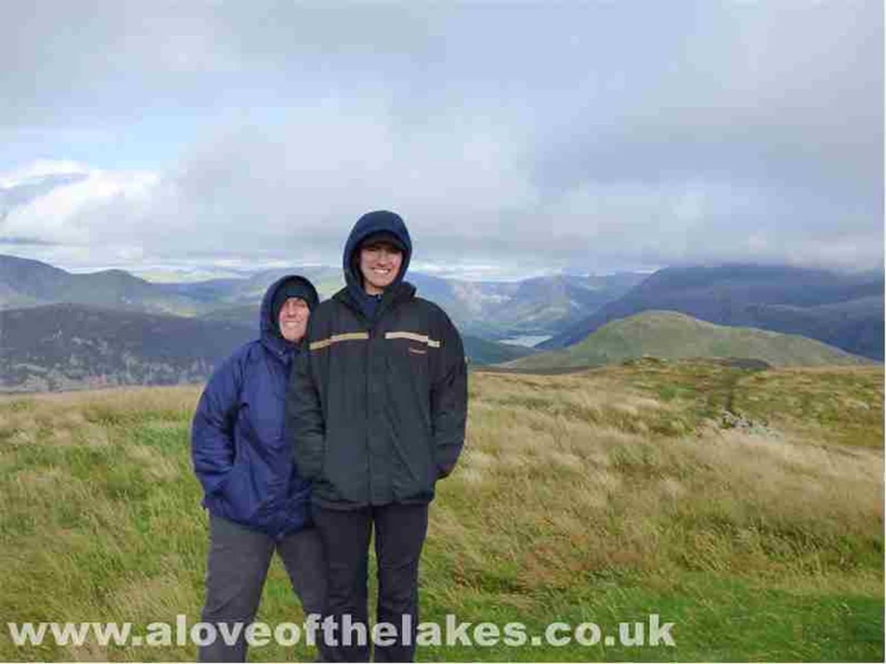
Sue and Ste on the summit of
Burnbank Fell. The cairn is just a small pile of stones
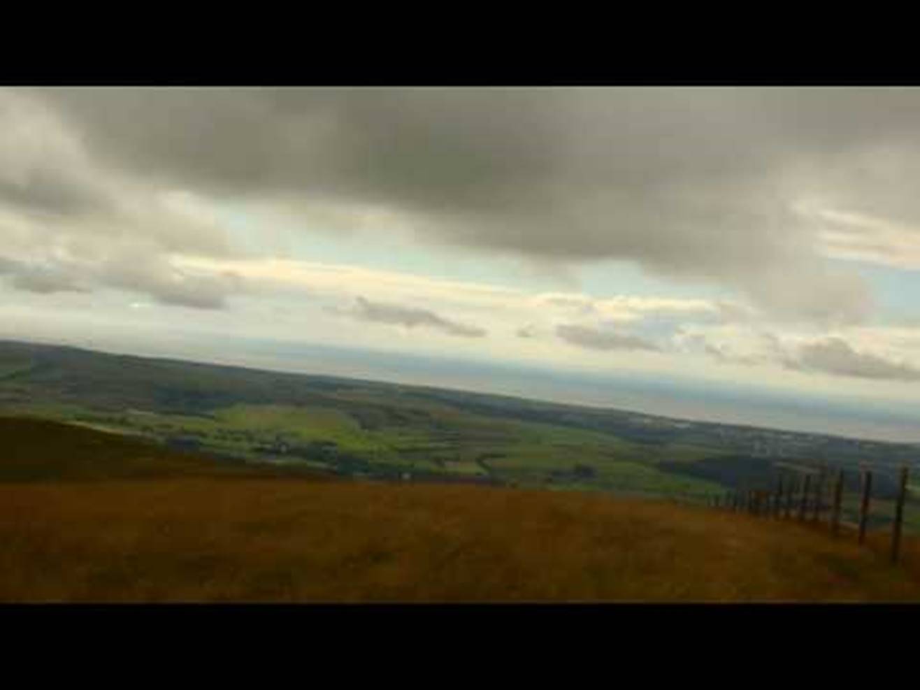
Looking North towards Scotland
A 360 degree
view from the summit
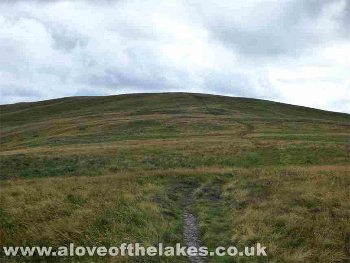
The unmistakable pathway to Blake
Fell about a mile away. Take note – the ground can be quite boggy here in parts
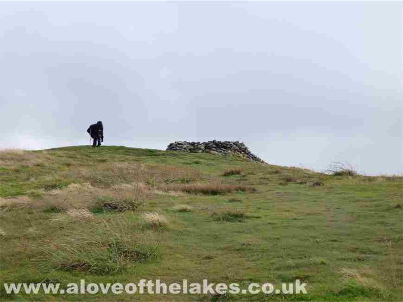
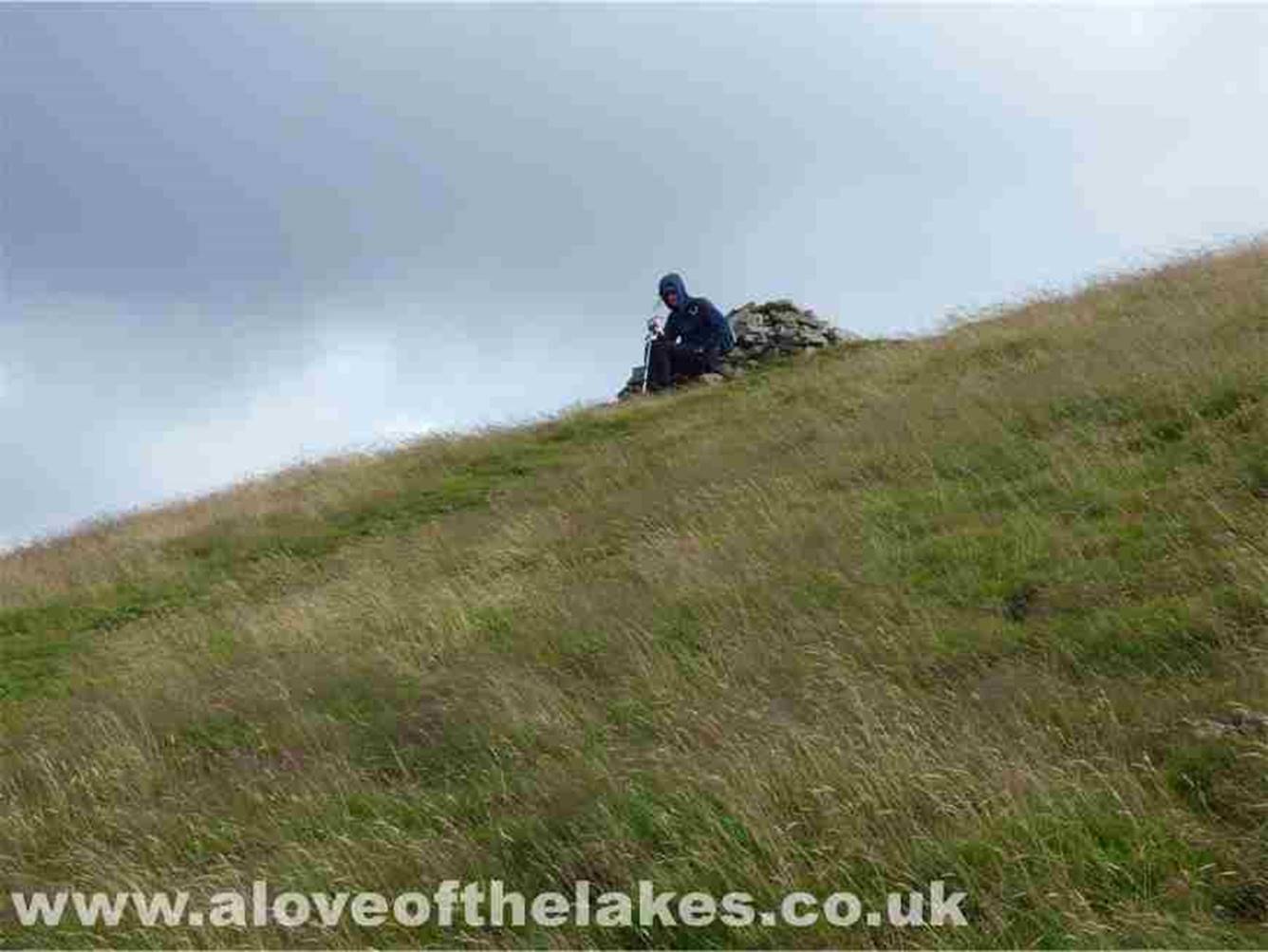
Ste approaches the summit shelter
cairn on Blake Fell
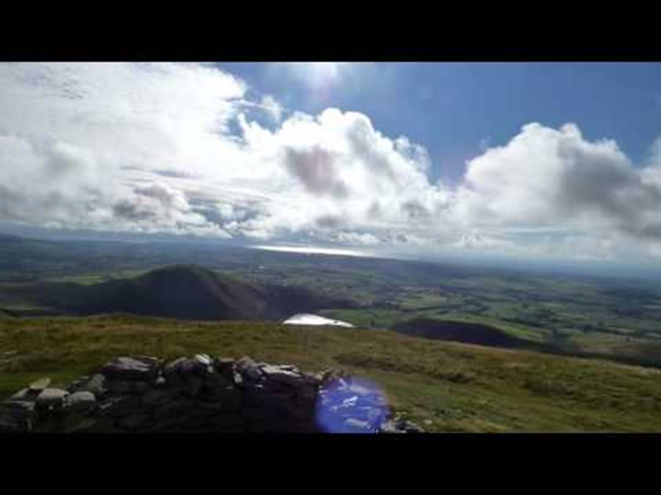
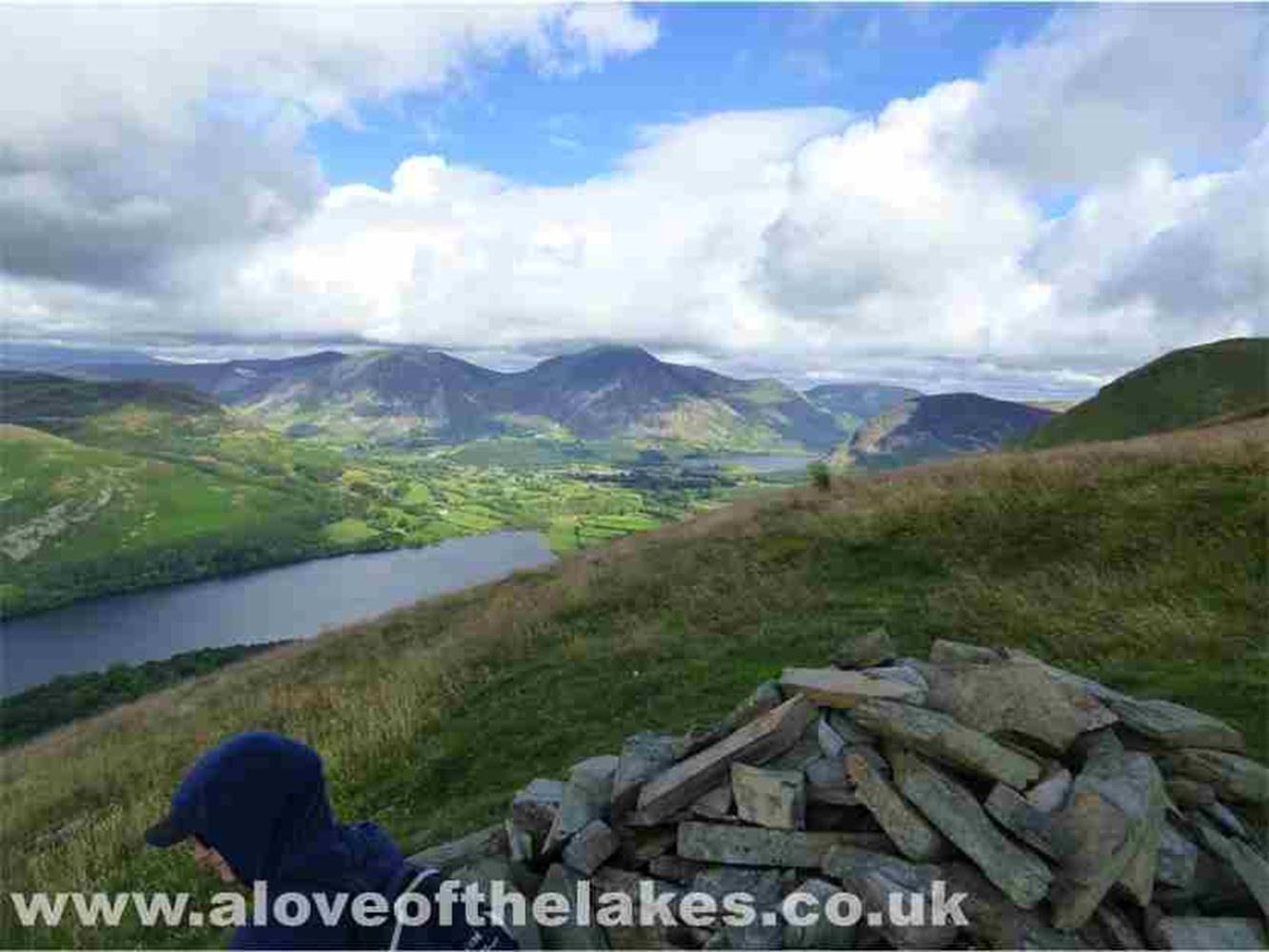
A 360 degree
view from the summit of Blake Fell
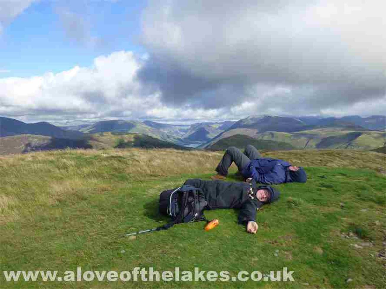
Sleeping on the job, looking South
towards Buttermere
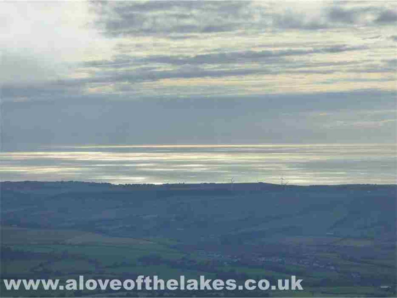
Still sleeping on the job ….
looking out over the Irish Sea
Classic Lakeland scenery –
Buttermere with Fleetwith Pike in the centre
Low cloud in bound … please don’t rain
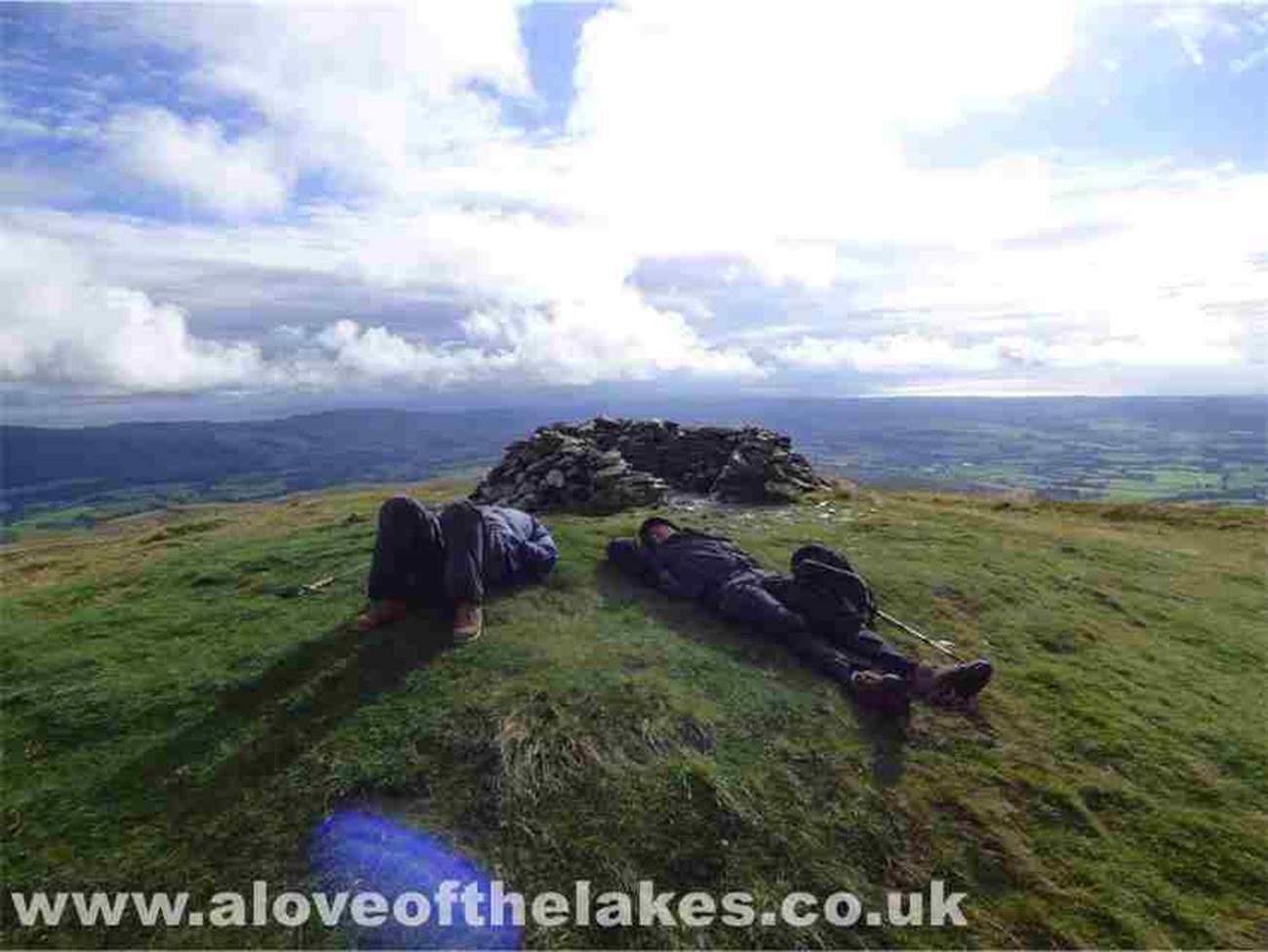
Awoken from their slumbers … This
really is one of the more comfortable summits that you will encounter on a
Wainwright walk
The Irish Sea
Bonny Scotland
On the way back down to Fangs Brow
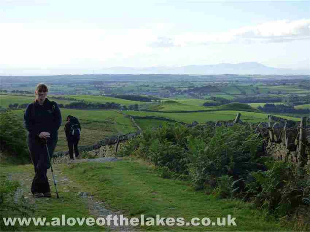
Following the wall back down to the
bridleway
A lingering last look …
Copyright ©
aloveofthelakes.co.uk 2011 – 2021