Terrain Overview
Walk Overview
I had read about and heard of the horror stories regarding the state of the ground
between Bleaberry Fell and Armboth Fell. In fact AW was quoted as saying ...
"Recommended only as penance for sins"
as he described the ridge walk from Bleaberry Fell to High Seat. So with the aim
of minimising the pain of bagging these summits we decided to brave the current
heat wave (30 degrees plus). A fabulous day to be in God`s Country and a bit of
an insight of what conditions underfoot are normally like on this "whaleback" series
of Fells.
From Keswick take the B5289 (Borrowdale Road) out of the town, then take a left
turn where signposted for Ashness Bridge towards Watendlath. Be aware that
the road (as such) is extremely narrow in parts which can make passing oncoming
vehicles a bit hazardous. Well worth the journey though as you pass
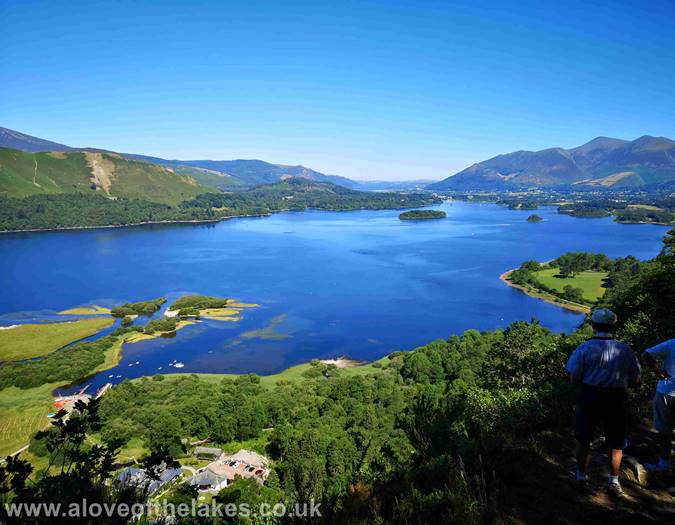
"Surprise View". It`s well worth stopping the car wherever you can to get out
and take a look at this wonderful sight
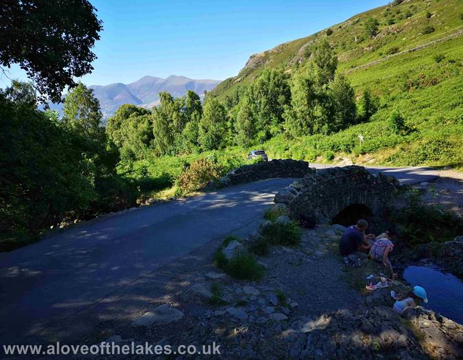
The iconic Ashness Bridge on the way
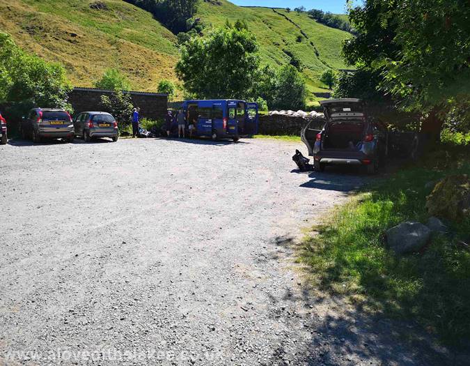
The NT car park at Watendlath. At the time of writing it was £6.50 for a full day
The start of the walk begins along the path just at the entrance of the car park
on the left
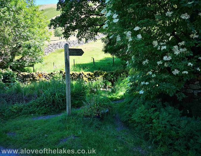
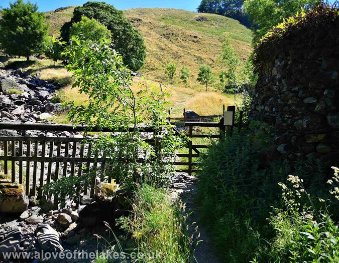
Follow the path for a short distance that leads to a hand gate which gives
access to the open Fell side
The path winds round to the edge of the wooded area to lead onto the climb proper
Through the hand gate and turn immediately left
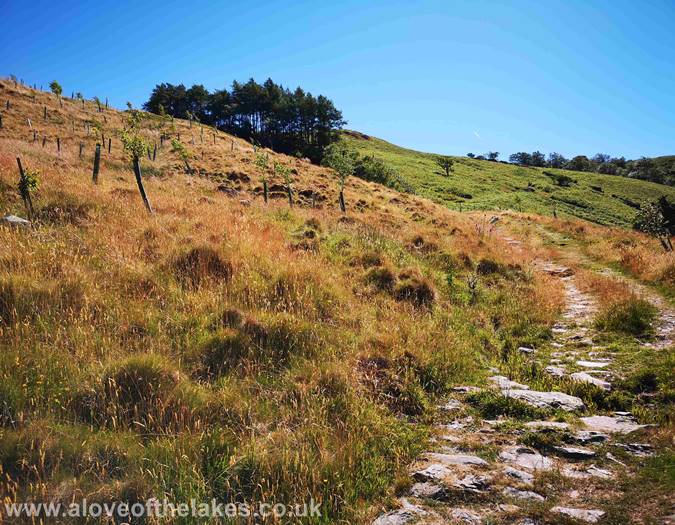
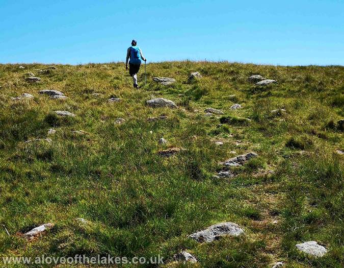
The stone track tends to disappear; however a discernable path over grass
(in these conditions) can be followed
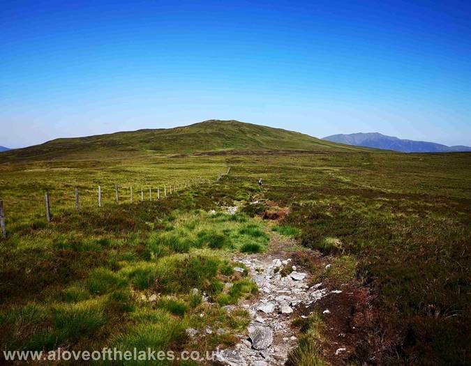
The initial section of the path was not too bad and easy to follow
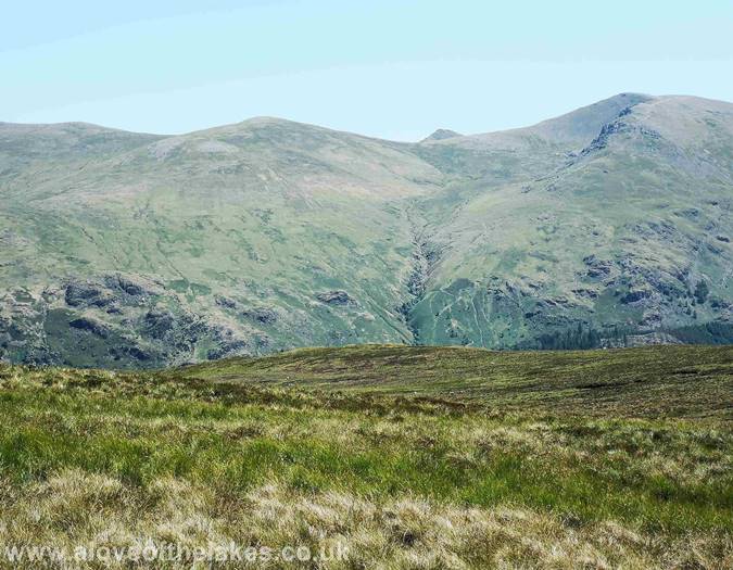
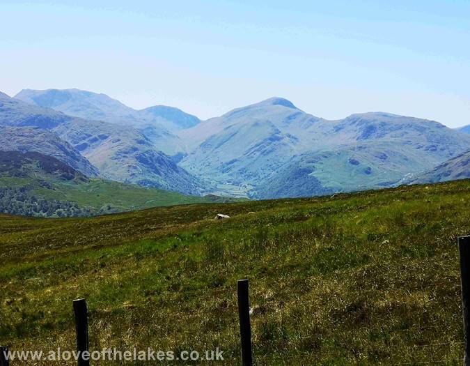
Looking towards Dale Head and even Pillar
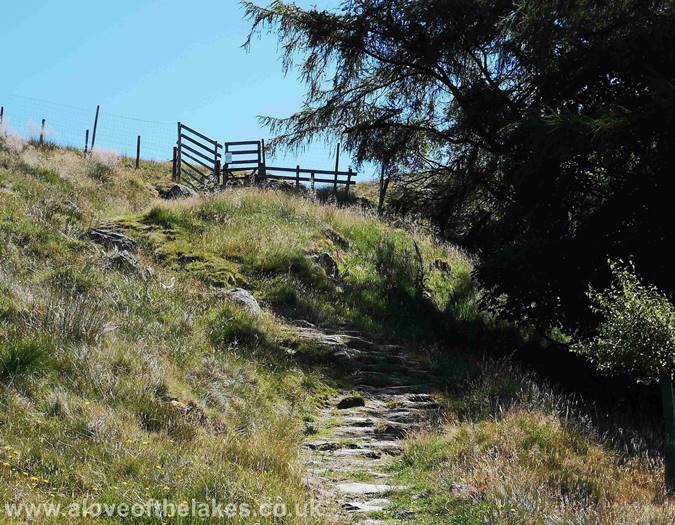
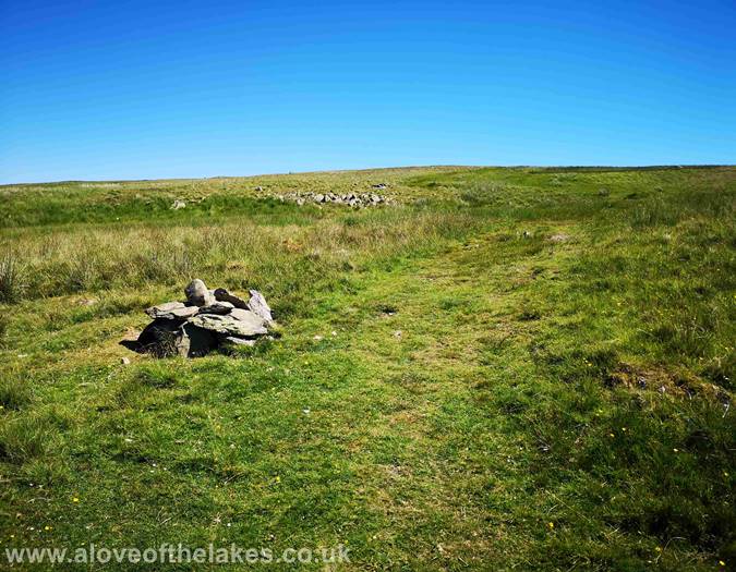
Higher up the path and the occasional marker cairn assists with navigation
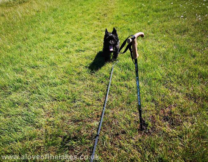
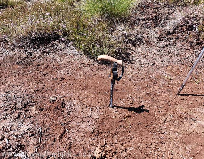
Checking on the ground condition
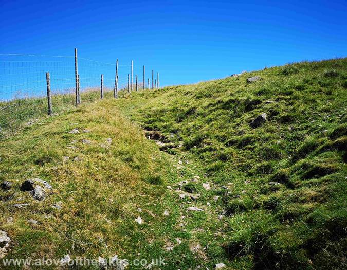
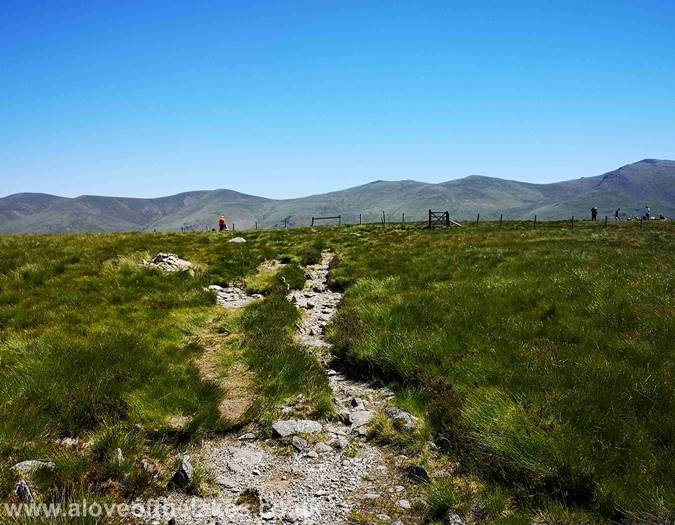
After an area of peat bogs, the path dries out somewhat and the summit cairn
lies just over the other side of the fence
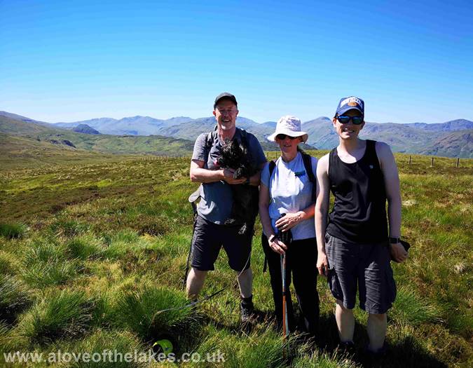
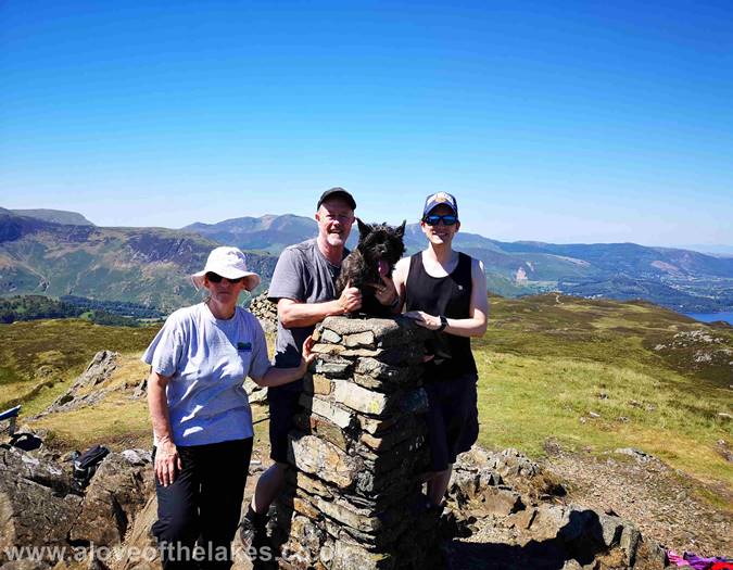
On the summit of High Tove. Click here for a 360 degree view
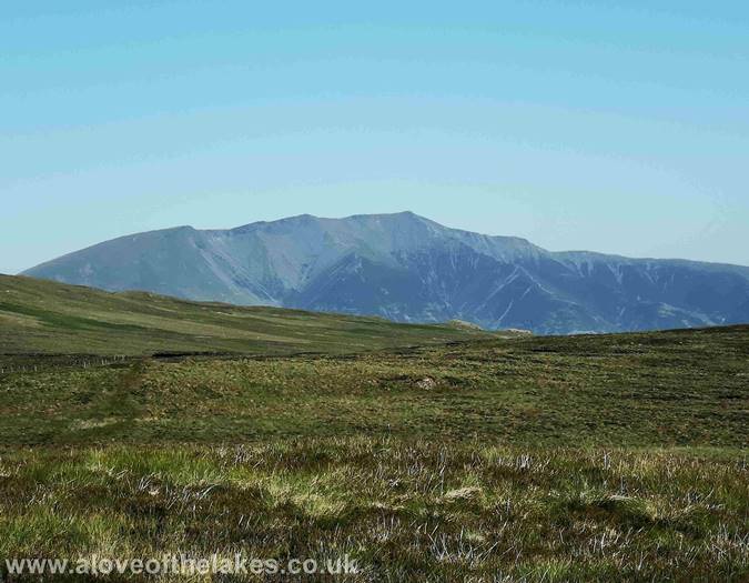
Looking towards Blencathra
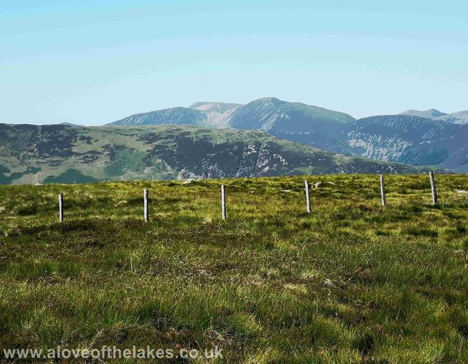
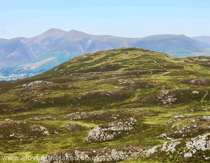
Looking towards Skiddaw
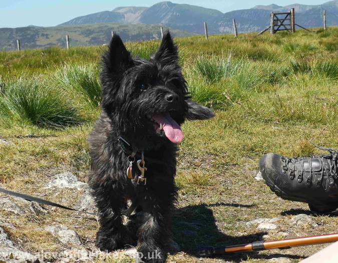
Ready for a drink Jones??
The ridge path to High Seat and as we found out it`s best to steer away from the
fence. This passes over The Pewitts (here in the middle of the picture). It was not
too bad today but I wouldn`t like to do this under normal conditions. There are
no navigational issues
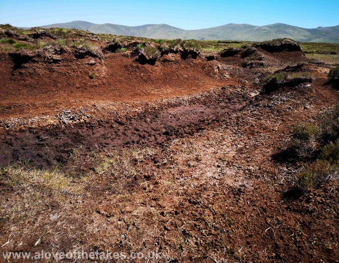
In the middle of the peat bogs
Extremely soft ground underfoot, and this after weeks of dry baking heat
Looking over to the Helvellyn range, with Catstye Cam peeping over the ridgeline
Out of the boggy bit for now (or less boggier) and the summit of High Seat
comes into view
Looking out to the North Western Fells on the way to High Seat summit
Ste on the summit of High Seat
Looking North towards Bassenthwaite, Skiddaw and a very distant
Criffel in Scotland
On the summit of High Seat. Click here for a 360 degree view
Looking back to Bleaberry Fell
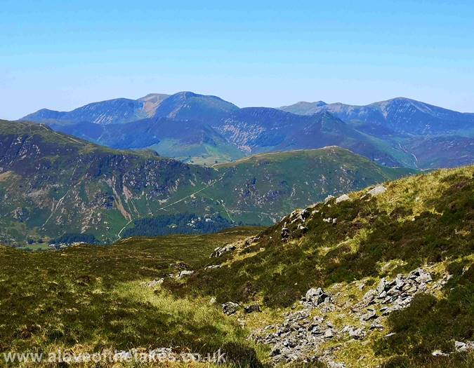
Looking across to Maiden Moor, High Spy and Dale Head from the summit
We have to journey back to High Tove to pick pick up the path to Armboth Fell.
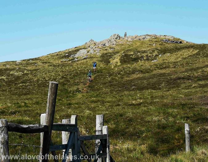
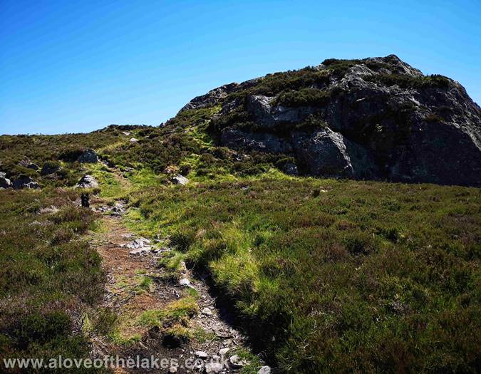
The path here leads to the big outcrop seen here. It`s true to say we were a
little confused initially as to what actually was the summit of Armboth Fell, but the
rock outcrop that is obviously higher that anything else around has a very small
pile of stones on its plateau top to mark the summit
Approaching the summit of Armboth Fell
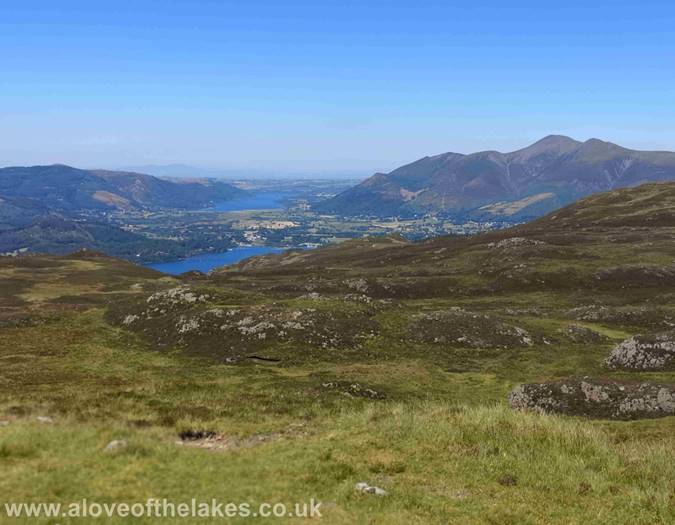
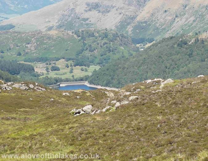
On the way to Armboth Fell and we couldn`t help but notice the extremely low
water level in Thirlmere reservoir
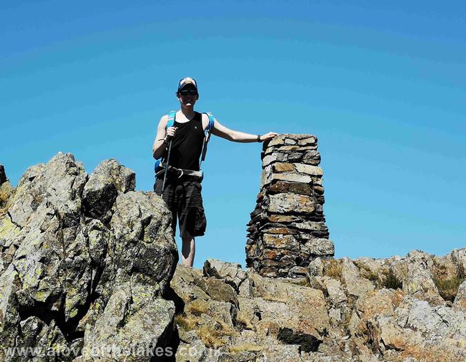
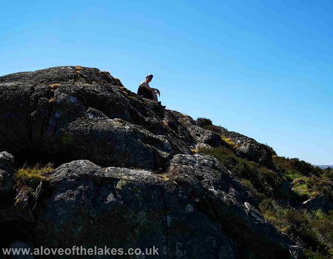
Ste on the summit of Armboth Fell. Click here for a 360 degree view
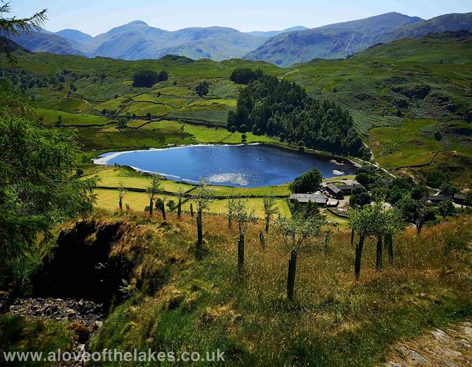
We retraced our steps back to High Tove and then back down to Watendlath.
By now it was unbelievably hot
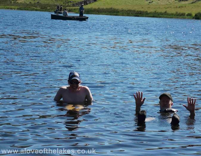
So what better way to cool off at the end of a long and tiring walk ...
A very memorable yomp today !!


