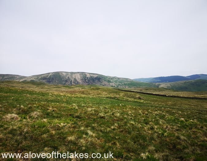
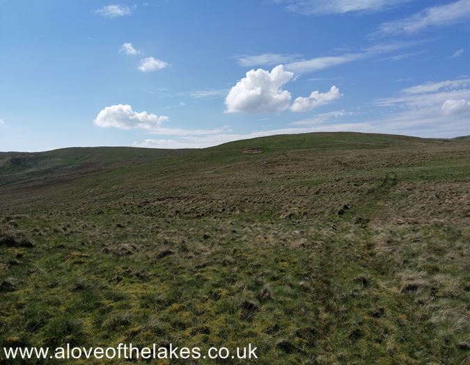
Terrain Overview
Walk Overview
A few caveats to start this walk description. Alfred Wainwright said of this walk …
"Note very well indeed that this is a walk only for the superbly fit. Being pure in
heart is not enough. It is the longest walk in the book (The Outlying Fells) and a
gruelling test for old age pensioners …"
This walk MUST be undertaken in good weather and good visibility and also
after a prolonged period of dry weather. Navigation devices or Maps and Compass
ARE ESSENTIAL to assist with route finding. Also an admission from myself is that
we "shortened" the route somewhat by ILLEGALLY parking the car on the
Farm access road some 2 miles from the A6. It remains unclear to me
if you can legally park just off the Farm track at
Dry Howe Bridge, please do your research
Don't be like us and consult the Wainwright guide or the various posts on
Social medial for tips on where to park, but generally speaking not too far
from the A6 main road around 5 or 6 miles north of Kendal
This is a private Farm road. To the right of this shot is an access road that leads
over Dry Howe Bridge and it may be possible for one or two cars to park there
Dry Howe Bridge from the Farm track
The starting point of the walk at Dry Howe farm (totally illegal !!)
If you choose to start from this point my only advice (once you have scaled the wire fence)
is to just aim for the ridgeline top and centre in this shot. There are no paths
Upon gaining the ridgeline you will pass this marker cairn. The first fell of the day
Whiteside Pike becomes visible from this point
Scramble over the stone wall to reach the open fell side. Whiteside Fell summit
is in the centre of the shot
The open grass pasture leading towards Whiteside Fell. No path just make a
bee line towards the high ground avoiding the swamps if possible
Sue on the summit of Whiteside Pike. Click here for a 360 degree view
Looking across to the second fell of the day Todd Fell (on the left). Again the pathless
journey which requires the scaling of a stone wall (seen in the centre of the shot)
The wall stile to assist the cross over. Very boggy ground here. The summit of
Todd Fell has no marker cairn. It`s up to you and maybe your Sat Nav
to decide that, but generally the high point seen here in the picture
We designated this to be the highest point of Todd Fell, but what do we know?
Click here for a 360 degree view
Spud seems to think that this is the summit - so we will go with that !
We now set off for Capplebarrow. This is one of the hardest parts of the walk.
Initially aim for the wall stile across some very boggy ground and prepare yourself
for a pathless and dreary slog across featureless terrain
We chose to aim directly for the summit across some very treacherous terrain.
On reflection, my advice would be to stick as close to the fence line as possible
Just aim for the ridgeline right of centre in the shot
Pass through this gate onto the ascent of Capplebarrow. At this point a faint
trod appears cutting through the wiry grass
We chose this point to be the summit of Capplebarrow as there was no cairn to
be the "source of truth". This point though did however provide the first sight of
something that we were familiar with .. The Kentmere Horseshoe across Longsleddale
Click here for a 360 degree view from the summit of Capplebarrow
We now head off for the 4th fell of the day Swinklebank Crag (the highest summit of the round)
The path underfoot improves somewhat at this point and a faint trod is easy to follow
The track leads towards a broken five bar gate
Through the gate and again we cross very boggy ground. The fence line assists
greatly with navigation
After a fairly lengthy tramp across very heavy ground we eventually arrive at the
summit of Swinklebank Crag. The actual cairn to mark this is fenced off (not sure why)
The summit cairn on Swinklebank Crag. Click here for a 360 degree view
After a short pause for lunch, we head off for Ancrow Brow which is at the head
of the valley and the signal that we are starting on the return leg of the horseshoe
This section is good walking and about the closest you will get to a path.
Further on in the distance a broken wall and fence line assists with navigation
Follow the line of the wall
Again, we had to choose what we believed to be the summit. So we chose this
sticky out bit of wall. Spud seemed to agree with this. Click here for a 360 degree view
To set off for Long Crag follow the line of the fence and the grass trod for about
a quarter of a mile and look out for the distinctive iron post. Just slightly further
on from this you will see the grass trod swing round to the right
Look out for the right turn in the grass trod. It`s pretty easy
to spot and leads off to our sixth summit of the day
that of Long Crag
Again featureless walking but the trod is a good guide as it leads to the high
ground in the centre of the shot
Eventually we arrive at the first of the two summit cairns on Long Crag
Either cairn can testify to being the summit. We chose the one you approach first
as the path White Howe is more easily picked up from here. Click here for
a 360 degree view from the summit
Keep to the grass trod as a guide to reach White Howe
The path eventually leads to an intake wall that does require a bit of negotiation
After climbing the wall the way ahead is reasonably straightforward as it
leads towards another intake wall
Cross the broken wall and keep generally right towards the summit. Again
your choice of route. Just keep aiming for the higher ground
The summit trig point comes into view after much wading through dense heather
A very welcome sight
Sue and Spud on the summit of White Howe. Click here for a 360 degree view
The route ahead to The Forrest the 8th summit in the horseshoe and yet again, pathless
Another intake wall to cross en route to the summit.
Just keep heading towards the high ground
We are claiming this to be the summit of The Forrest as there was no other indication
around to prove any different. Click here for a 360 degree view
We head off towards the final summit of the day Lamb Pasture. Don't be fooled
by the gentle sounding name of this fell. A sting in the tail awaits
Descending towards the fence stile. No difficulty in navigation
Go through the gate and head towards the line of the wall in the far distance
As we head down to the gate in another intake wall we pass the first fell of the
day on the other side of the valley Whiteside Pike
Go through the gate and bear right to start the approach to the summit of Lamb pasture
Now, all that remains is to follow the grass track to the summit
Again with no summit cairn to key on to, we decided that this was the summit
of Lamb Pasture Click here for a 360 degree view
There now follows the small problem of getting down from the summit
in one piece. Don't let this view fool you in to thinking that its straightforward.
On the immediate right of the summit lies a steep rock face from
which it is not possible to descend. From here you need to aim left towards
the hollow
The steep southern face of Lamb Pasture
We had to use the "arse crampons" in some parts of the steep grassy descent
Which ever way you decide to get down aim for the intake path at the side
of the wooded area
Looking back to the perilous descent
Follow the intake path and go through the gate and cross Dry Howe bridge
to get back to the farm road and a polite reprimand from a very understanding
farmer who explained to us the error of our ways!!


